Lake Monowai
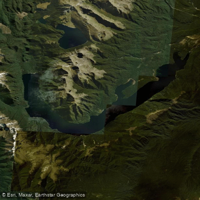
Lake Monowai
- Boat Ramps
- 1
- Access Points
- 0
- Campsites
- 1
Lake Monowai is a glacially carved lake in Fiordland National Park, located about 67 km from Te Anau (approximately one hour by road) and 120 km from Invercargill (about one hour and 45 minutes). The lake is roughly boomerang-shaped in plan, approximately 12 miles long and up to one mile wide, covering around 11 square miles, with a maximum depth of 520 feet and a surface elevation of 643 feet above sea level. The surrounding forested mountains and multiple inlets and bays give the lake a varied, exploratory character.
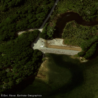
Access for paddlers is at the end of Lake Monowai Road. The boat ramp and associated facilities are managed under a Right to Occupy Agreement between Fish & Game and Pioneer Energy, which owns the land. A jetty construction and boat ramp restoration project was underway as of early 2025 to improve launching and landing conditions.
A key hazard throughout the lake is submerged tree stumps along the shoreline, which pose a real risk of puncturing or damaging a vessel. Paddlers should choose landing spots carefully and remain alert in shallow areas. Wind can also be a significant factor; conditions can deteriorate and make progress slow and cold, particularly in the upper reaches of the lake.
Didymo (Didymosphenia geminata) is present in Lake Monowai. All vessels and gear that have been in contact with the water must be checked, cleaned, and dried before and after use. Paddling up any tributary rivers from the lake is not permitted, as those waterways are didymo-free.
Several huts are accessible by water, making the lake well-suited to multi-day trips. Rodger Inlet Hut (also referred to as Roger Inlet Hut), Eel Creek Hut, and Monowai Hut can all be reached by paddling. A walking track connects Borland Road to Monowai Hut, offering a route that can be combined with a paddle for a circuit. One trip report describes a paddle from Monowai Hut down the lake, stopping at Eel Creek Hut after roughly two hours, then crossing to the other side and rounding Tangney Bend and Shelter Point to reach Rodger Inlet Hut. The lake also provides access to tramping and climbing objectives in the surrounding ranges.
The lake's name is thought to derive from an earlier Māori form meaning "channel full of water," as noted by the surveyor-explorer James McKerrow, who recorded it in the 19th century.
Water access, boat ramps & amenities
Learn how to get on Lake Monowai. Uncover great paddling access points, boat ramps, and all the facilities you need for an unforgettable day on the water. Some locations shown may border or include private property. Always check property boundaries and applicable regulations before visiting. PaddleWays's Public & Private Land layer can help you plan your access with confidence.
Paddle smarter with real-time insights
Whether you're en route and conditions shift or you're looking for the best spot based on current flows, we enable you to make informed decisions on the fly.







Southland licenses and regulations
No licenses or regulations available for Southland.
Find Places to Paddle

Over 400,000 Places to Paddle
Every user gets free access to launch points, boat ramps, and public property parcels.


Water and weather conditions (10 day forecast)
See the best times to paddle Lake Monowai and check the forecast before you go.
No forecast data available.
Paddling near Lake Monowai
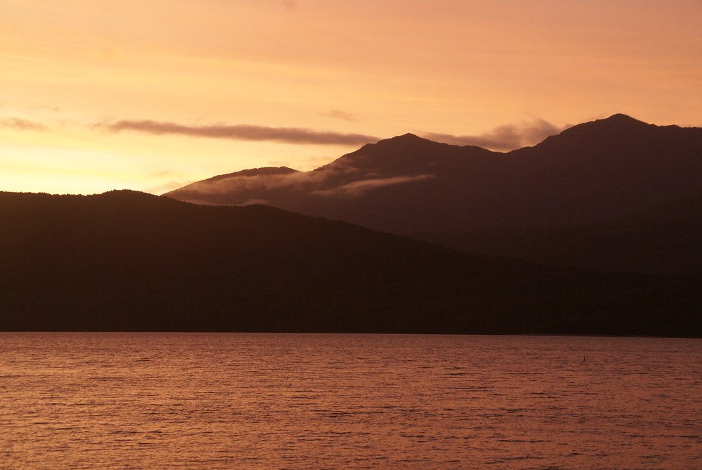
Lake Te Anau
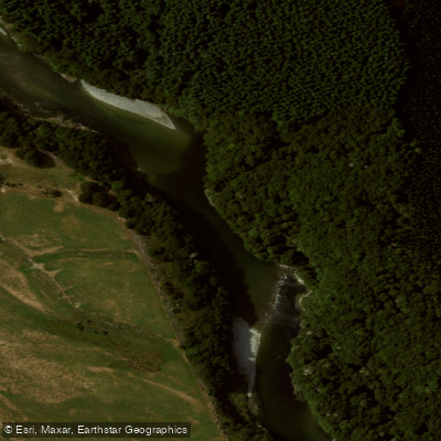
Waiau River
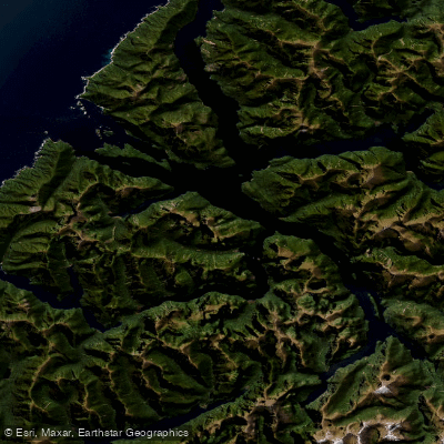
Doubtful Sound / Patea
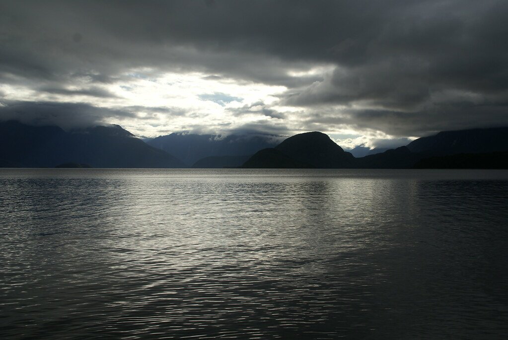
Lake Manapouri
Mararoa River
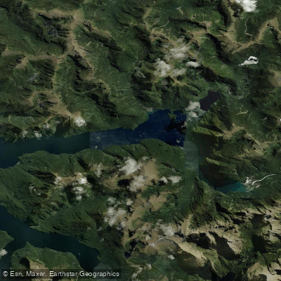
Kaikiekie / Bradshaw Sound
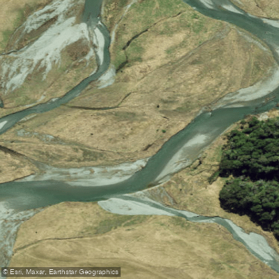
Eglinton River West Branch
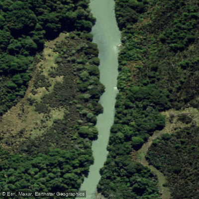
Eglinton River
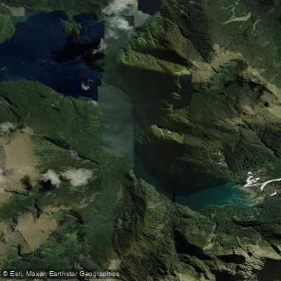
Kutupārera / Gaer Arm
Explore Southland waters
Top paddling waters
No waters available right now.
Popular Cities
Loading popular cities...
Explore near Lake Monowai

Smarter Paddling Starts in the App.
Paddleways gives you everything you need to plan smarter, paddle better, and own every trip from first launch to takeout.