Lake Manapouri
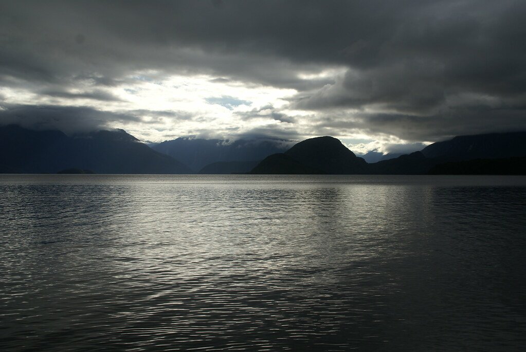
Lake Manapouri
- Boat Ramps
- 1
- Access Points
- 0
- Campsites
- 3
Lake Manapouri sits within Fiordland National Park on New Zealand's South Island, extending roughly 25 km west from Manapouri township with four distinct arms: Hope, North, South, and West. The lake has a shoreline of approximately 170 km and is characterised as cold and deep. The eastern end is considered by some to be among the finest kayaking water in New Zealand, featuring over 33 islands alongside numerous coves, sandy beaches, waterfalls, and channels accessible within a day's paddle.
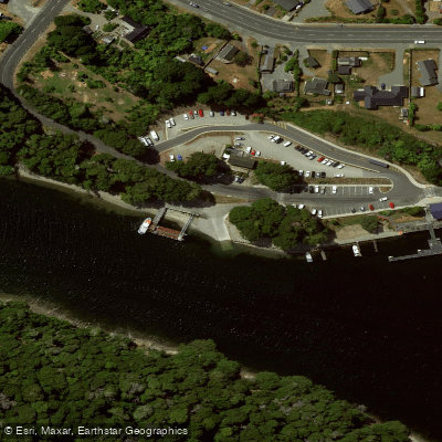
The primary access point for paddlers is Pearl Harbour in Manapouri township, with an additional put-in at the end of Supply Bay Road. From the water, paddlers can reach several DOC huts including Moturau Hut at Shallow Bay, Hope Arm Hut, and Shallow Bay Hut near the mouth of the Waiau River, as well as walking tracks such as the Circle Track, Back Valley Track, and Monument Track. A notable multi-day option involves paddling the full length of the lake to West Arm — approximately 29.9 km — where a commercial truck service can transport boats and gear over Wilmot Pass to Doubtful Sound, making Lake Manapouri a staging point for extended Fiordland expeditions.
Didymo (Didymosphenia geminata), an invasive freshwater algae, is present in Lake Manapouri. Paddlers are required to check, clean, and dry all vessels and gear that have been in contact with the water before entering any other waterways. This is a firm biosecurity requirement, not merely a recommendation.
The lake is also used by jetboats and commercial ferry vessels operating to West Arm, so paddlers should remain aware of motorised traffic, particularly in the main navigational channels. The Waiau River, which flows out of the lake to the south, is deep and slow-moving and offers sheltered paddling close to the township. When navigating the river mouth, paddlers should keep to the western bank as the eastern side is shallow.
The lake's island-studded eastern basin provides relatively sheltered conditions, though as with all large Fiordland lakes, weather can change rapidly and open crossings carry inherent exposure risk. The surrounding landscape is mountainous and heavily forested, with the Murchison Mountains visible to the north. The north side of the South Arm is a restricted takahē conservation area closed to the public, with limited special access permits available between December and February through the Fiordland National Park Visitor Centre.
Water access, boat ramps & amenities
Learn how to get on Lake Manapouri. Uncover great paddling access points, boat ramps, and all the facilities you need for an unforgettable day on the water. Some locations shown may border or include private property. Always check property boundaries and applicable regulations before visiting. PaddleWays's Public & Private Land layer can help you plan your access with confidence.
Paddle smarter with real-time insights
Whether you're en route and conditions shift or you're looking for the best spot based on current flows, we enable you to make informed decisions on the fly.







Southland licenses and regulations
No licenses or regulations available for Southland.
Find Places to Paddle

Over 400,000 Places to Paddle
Every user gets free access to launch points, boat ramps, and public property parcels.


Water and weather conditions (10 day forecast)
See the best times to paddle Lake Manapouri and check the forecast before you go.
No forecast data available.
Paddling near Lake Manapouri
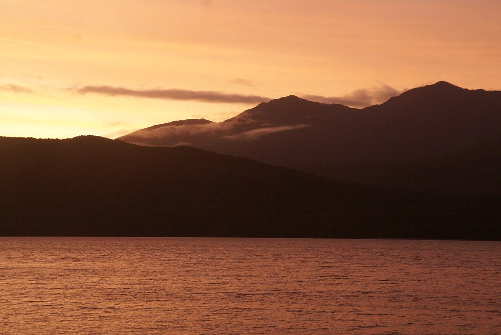
Lake Te Anau
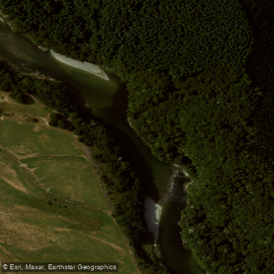
Waiau River
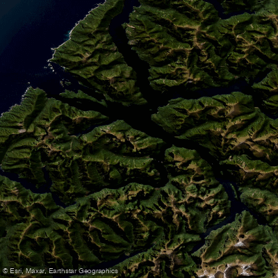
Doubtful Sound / Patea
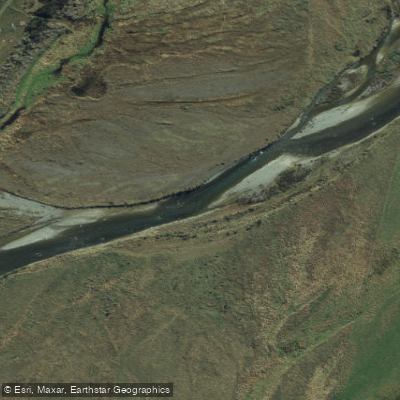
Mararoa River
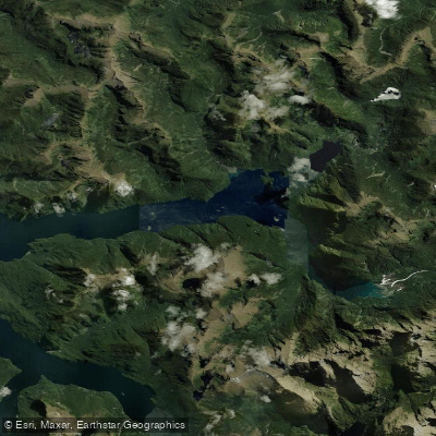
Kaikiekie / Bradshaw Sound
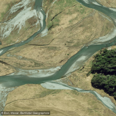
Eglinton River West Branch
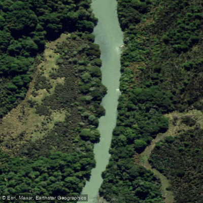
Eglinton River
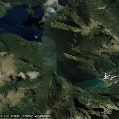
Kutupārera / Gaer Arm
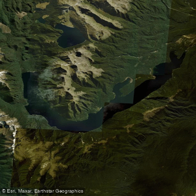
Lake Monowai
Explore Southland waters
Top paddling waters
No waters available right now.
Popular Cities
Loading popular cities...
Explore near Lake Manapouri
Access points
Nearby waters
More in Southland

Smarter Paddling Starts in the App.
Paddleways gives you everything you need to plan smarter, paddle better, and own every trip from first launch to takeout.