Mararoa River
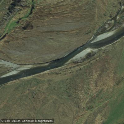
Mararoa River
- Boat Ramps
- 0
- Access Points
- 0
- Campsites
- 0
The Mararoa River flows south from the Mavora Lakes in Southland, New Zealand, offering a paddling experience that transitions from flat lake outflow to increasingly technical whitewater. The river is generally rated Grade II to III, with character varying considerably depending on water levels. At lower flows, paddlers encounter long stretches of boulder gardens at easy Class II difficulty; at higher flows, these sections become more technical and demanding, reaching Class II+ or beyond through the gorge section.
The most commonly paddled section runs from the outlet of South Mavora Lake downstream to the Kiwi Burn swingbridge. Put-in is at the bottom of South Mavora Lake, though the trip can be extended by starting at the bottom of North Mavora Lake and either paddling the lake or walking the track on the west side (approximately 45 minutes to over an hour). From the South Lake outlet, paddlers encounter 10 to 15 minutes of flat water before the gradient picks up. A gorge section downstream contains notable drops; at high water levels (around 0.8 on the Mararoa at the Cliffs gauge), the first two drops of the gorge are typically skipped. The gauge at the Cliffs is a reasonable distance from the paddled section, but because the river is lake-fed, there is a useful correlation between gauge readings and conditions through the gorge. A reading of 0.3 above normal is described as a good solid run; 0.5 adds more excitement.
For those seeking a longer journey, it is possible to continue paddling the Mararoa all the way to its confluence with the Waiau River, roughly 50 km downstream. The lower river opens into a more braided character with shingle rapids, generally Class I to II, and has been described as suitable for adventurous families. The section from where the Mararoa crosses the main sealed road to the Waiau confluence has been paddled and contains easy Class I/II water.
Didymo (Didymosphenia geminata), an invasive freshwater alga, is present in both the Mavora Lakes and the Mararoa River. Paddlers must follow standard biosecurity protocols — check, clean, and dry all gear — before and after use. The fishing season on the Mararoa runs from 1 October to 30 April, with brown and rainbow trout present; only artificial baits are permitted. Motorised craft are not permitted on South Mavora Lake, keeping that access point quieter.
Water access, boat ramps & amenities
Learn how to get on Mararoa River. Uncover great paddling access points, boat ramps, and all the facilities you need for an unforgettable day on the water. Some locations shown may border or include private property. Always check property boundaries and applicable regulations before visiting. PaddleWays's Public & Private Land layer can help you plan your access with confidence.
Paddle smarter with real-time insights
Whether you're en route and conditions shift or you're looking for the best spot based on current flows, we enable you to make informed decisions on the fly.







Southland licenses and regulations
No licenses or regulations available for Southland.
Find Places to Paddle

Over 400,000 Places to Paddle
Every user gets free access to launch points, boat ramps, and public property parcels.


Water and weather conditions (10 day forecast)
See the best times to paddle Mararoa River and check the forecast before you go.
Mararoa At The Cliffs
All Flow Stations
Paddling near Mararoa River
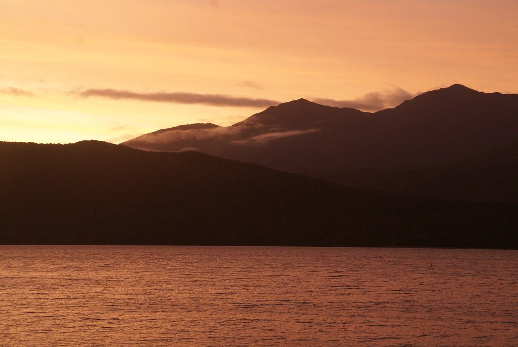
Lake Te Anau
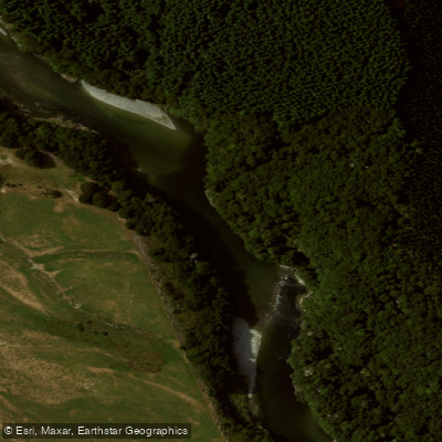
Waiau River
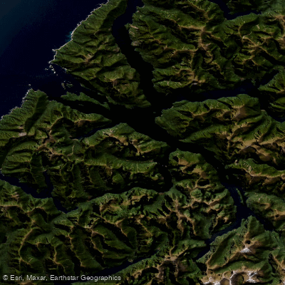
Doubtful Sound / Patea
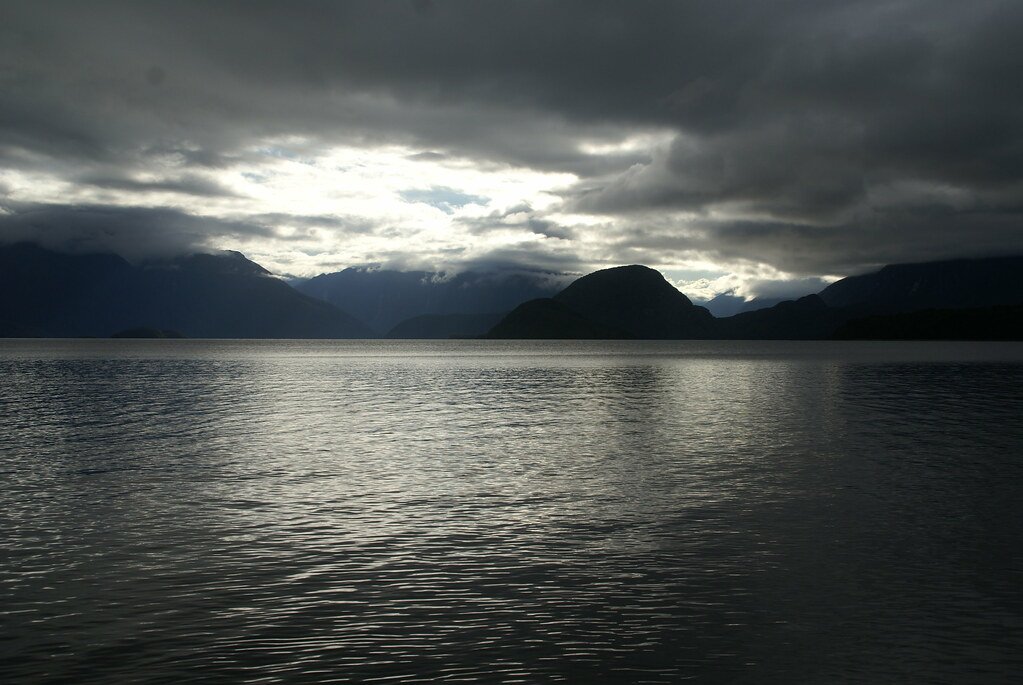
Lake Manapouri
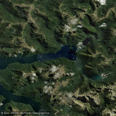
Kaikiekie / Bradshaw Sound
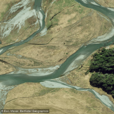
Eglinton River West Branch
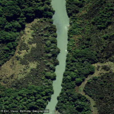
Eglinton River
Kutupārera / Gaer Arm
Lake Monowai
Explore Southland waters
Top paddling waters
No waters available right now.
Popular Cities
Loading popular cities...
Explore near Mararoa River

Smarter Paddling Starts in the App.
Paddleways gives you everything you need to plan smarter, paddle better, and own every trip from first launch to takeout.