Eglinton River West Branch
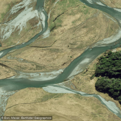
Eglinton River West Branch
- Boat Ramps
- 0
- Access Points
- 0
- Campsites
- 5
The Eglinton River West Branch drains south through Fiordland in New Zealand's South Island, originating at Lake Fergus and flowing roughly 50 kilometres before the full Eglinton River reaches Lake Te Anau. The river runs alongside State Highway 94, the Te Anau–Milford Highway, making access relatively straightforward along much of its length.
The West Branch is generally rated Grade I to II. The middle reaches below the confluence with Mistake Creek are almost entirely Grade I, offering straightforward paddling. There are short gorges present between Lake Gunn and Cascade Creek, and again below the junction with Walker Creek, which paddlers should be aware of when planning their route.
Water levels are an important consideration. Flow leaving Lake Gunn is small and is substantially increased by Cascade Creek, which joins just south of the lake. Despite this, there is not usually sufficient water at the Cascade Creek confluence to support kayaking, and paddling is more commonly undertaken from the junction with the East Branch further downstream. Those planning to paddle the upper West Branch sections should check flows carefully before committing to a put-in.
The river corridor passes through the Fiordland landscape, with tributaries including Cascade Creek, Plato Creek, Smithy Creek, Kiosk Creek, Wesney Creek, Black Creek, Mistake Creek, Hut Creek, Waterfall Creek, and Murcott Burn feeding into the West Branch along its course. The area is known for its lush forest environment typical of Fiordland.
Water access, boat ramps & amenities
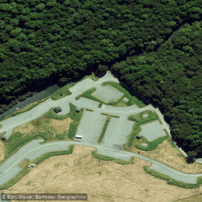
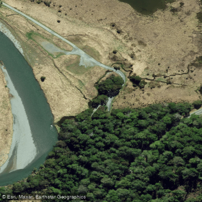
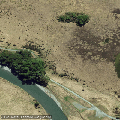
Learn how to get on Eglinton River West Branch. Uncover great paddling access points, boat ramps, and all the facilities you need for an unforgettable day on the water. Some locations shown may border or include private property. Always check property boundaries and applicable regulations before visiting. PaddleWays's Public & Private Land layer can help you plan your access with confidence.
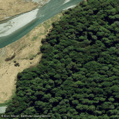
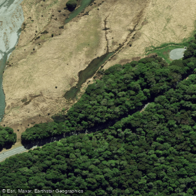
Paddle smarter with real-time insights
Whether you're en route and conditions shift or you're looking for the best spot based on current flows, we enable you to make informed decisions on the fly.







Southland licenses and regulations
No licenses or regulations available for Southland.
Find Places to Paddle

Over 400,000 Places to Paddle
Every user gets free access to launch points, boat ramps, and public property parcels.


Water and weather conditions (10 day forecast)
See the best times to paddle Eglinton River West Branch and check the forecast before you go.
No forecast data available.
Paddling near Eglinton River West Branch
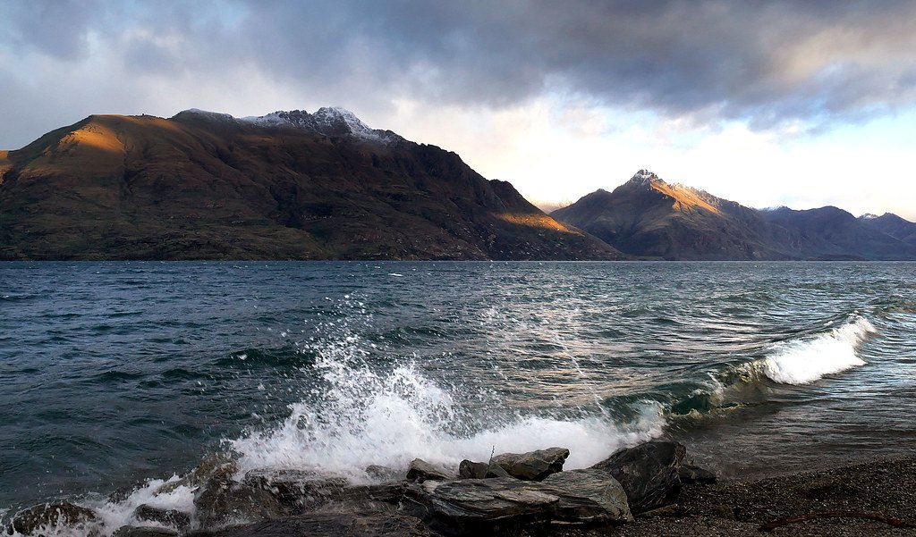
Lake Wakatipu
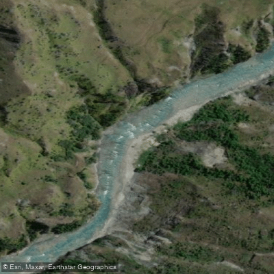
Shotover River
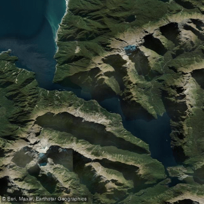
Milford Sound / Piopiotahi
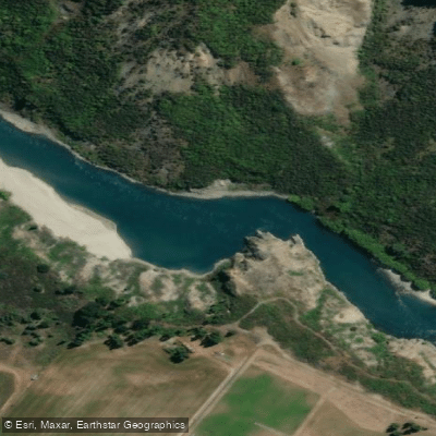
Kawarau River
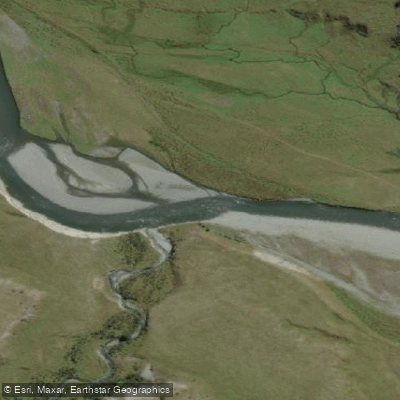
Greenstone River
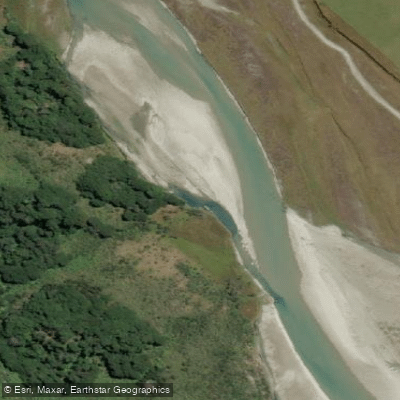
Rees River
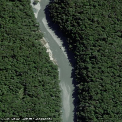
Dart River / Te Awa Whakatipu
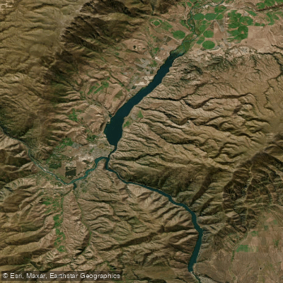
Lake Dunstan

Clutha River / Mata-Au
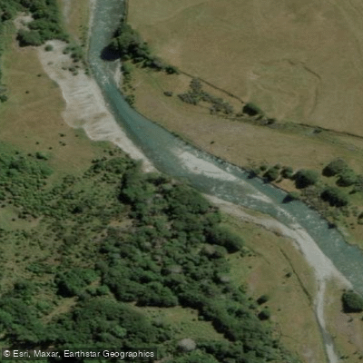
Caples River
Explore Southland waters
Top paddling waters
No waters available right now.
Popular Cities
Loading popular cities...
Explore near Eglinton River West Branch
Access points
Nearby waters
More in Southland

Smarter Paddling Starts in the App.
Paddleways gives you everything you need to plan smarter, paddle better, and own every trip from first launch to takeout.