Kutupārera / Gaer Arm
- Saltwater
- Bay
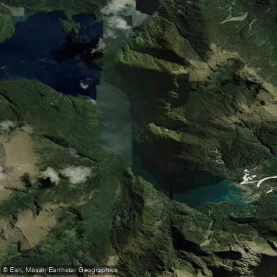
Kutupārera / Gaer Arm
- Saltwater
- Bay
- Sq. miles
- 2.1
- Boat Ramps
- 0
- Access Points
- 0
- Campsites
- 0
Kutupārera / Gaer Arm is a marine reserve encompassing approximately 433 hectares within Bradshaw Sound in Fiordland, Southland. It is a glacially carved fiord arm characterized by steep underwater rock walls and a relatively shallow basin that deepens to over 100 metres at its entrance. The eastern side features extensive, shaded rock walls with vertical drops of 50-60 metres, while the western side has more broken rocky reef habitat with boulders and a large river outflow. The arm includes significant estuarine habitat at the entrance of the Camelot River, containing large cockle and pipi beds and areas of seagrass flats. The water has a distinctive low-salinity surface layer from tannin-stained freshwater runoff, which filters light and influences marine vegetation. The surrounding landscape consists of dense temperate rainforest growing directly to the waterline on near-vertical slopes.
As a marine reserve, all marine life is protected, and no fishing, disturbance, or removal of any material is permitted. Paddlers must adhere to the Fiordland Marine Mammal Code of Management, which includes specific measures to minimize impacts on the local bottlenose dolphin population. The fiord's deep, dark, sheltered waters create unusual habitats where species like black coral, sea pens, and brachiopods, typically found at greater depths, can be observed in shallower areas. Wildlife in the area includes blue cod, tarakihi, butterfly perch, New Zealand fur seals, and seabirds. The environment is remote and wilderness-focused, with no paddler facilities, launch sites, or amenities. The area is part of Fiordland National Park and the Te Moana o Atawhenua / Fiordland Marine Area.
Water access, boat ramps & amenities
Learn how to get on Kutupārera / Gaer Arm. Uncover great paddling access points, boat ramps, and all the facilities you need for an unforgettable day on the water. Some locations shown may border or include private property. Always check property boundaries and applicable regulations before visiting. PaddleWays's Public & Private Land layer can help you plan your access with confidence.
Paddle smarter with real-time insights
Whether you're en route and conditions shift or you're looking for the best spot based on current flows, we enable you to make informed decisions on the fly.







Southland licenses and regulations
No licenses or regulations available for Southland.
Find Places to Paddle

Over 400,000 Places to Paddle
Every user gets free access to launch points, boat ramps, and public property parcels.


Tides, wind & water conditions (10 day forecast)
On open water, wind and tide matter as much as the weather. See the best times to paddle Kutupārera / Gaer Arm and check the marine forecast before you launch.
Loading tide predictions…
Paddling near Kutupārera / Gaer Arm
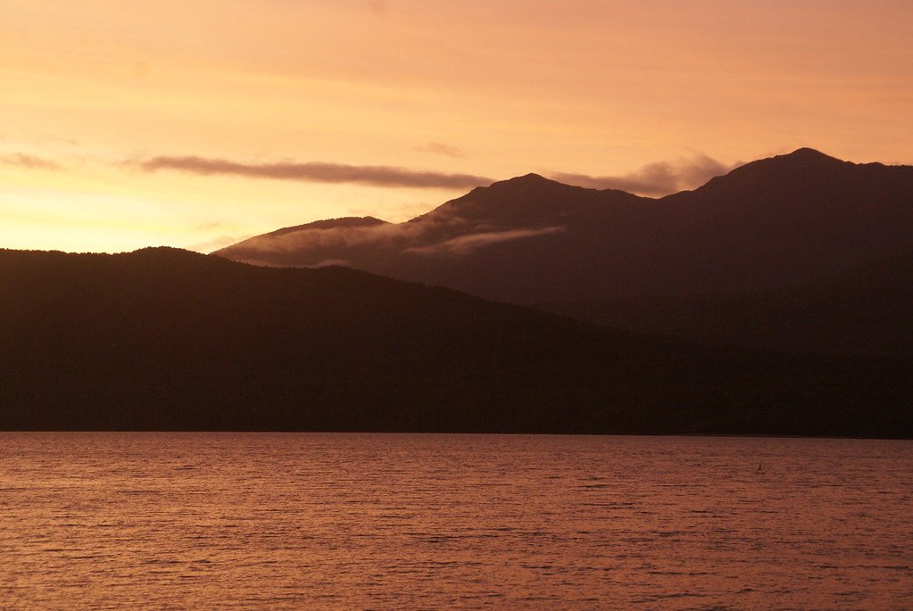
Lake Te Anau
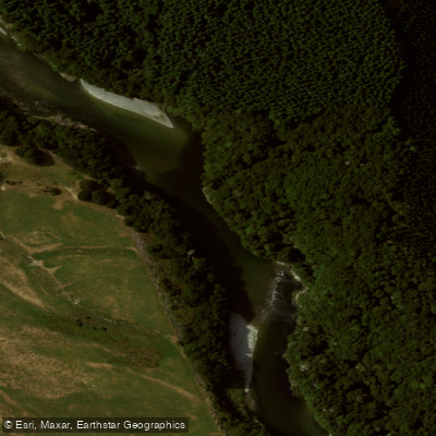
Waiau River
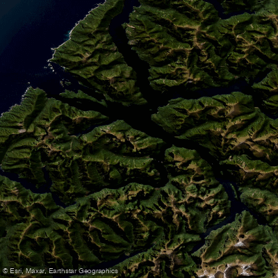
Doubtful Sound / Patea
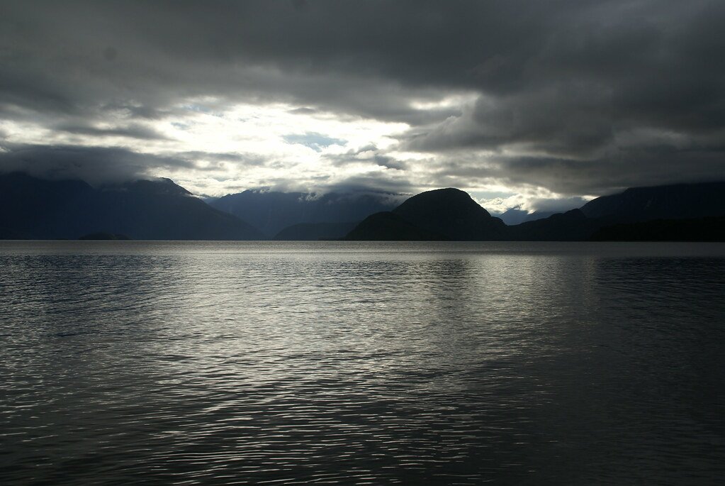
Lake Manapouri
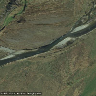
Mararoa River
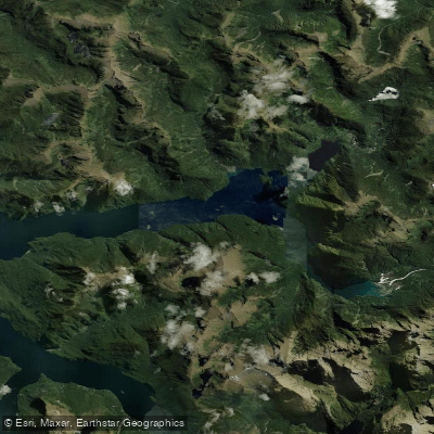
Kaikiekie / Bradshaw Sound
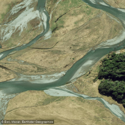
Eglinton River West Branch
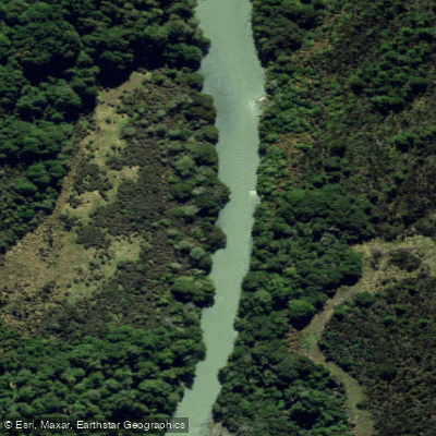
Eglinton River
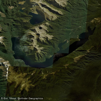
Lake Monowai
Explore Southland waters
Top paddling waters
No waters available right now.
Popular Cities
Loading popular cities...
Explore near Kutupārera / Gaer Arm

Smarter Paddling Starts in the App.
Paddleways gives you everything you need to plan smarter, paddle better, and own every trip from first launch to takeout.