Te Waewae Bay
- Saltwater
- Bay
Te Waewae Bay
- Saltwater
- Bay
- Sq. miles
- 134
- Boat Ramps
- 1
- Access Points
- 0
- Campsites
- 1
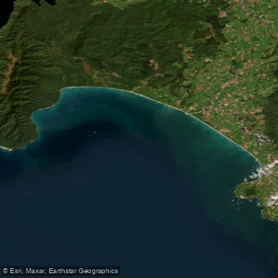
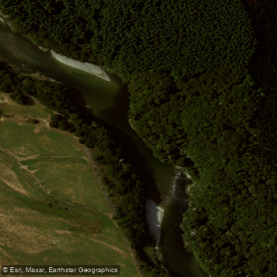
Te Waewae Bay is a large, open bay on the southwestern coast of New Zealand's South Island, forming a significant curve of coastline in Western Southland. It is a designated marine mammal sanctuary, with frequent dolphin and whale sightings noted. The bay is exposed to the Tasman Sea and Foveaux Strait, and its waters are known for being rough, with unpredictable weather and described as some of the roughest around New Zealand's coastline. This makes it a challenging environment suitable only for experienced sea kayakers with advanced seamanship skills. The bay has served as a historic start and end point for major expeditions, including the first sea kayak circumnavigation of the South Island. A long, uncrowded sandy beach lines the eastern end of the bay, which is suitable for launching and landing, though paddlers must be prepared for potential surf conditions. Access points for paddlers are found along this coastline, with specific mentions of launches occurring directly from the bay's beach. The area around Monkey Island (Te Puka o Takitimu), located on the bay, can be reached on foot only at low tide, indicating a significant tidal range that paddlers must account for when planning landings or portages. The Waiau River flows into the head of the bay, providing a potential route connection for paddlers. The overall character is one of a wild, scenic, and exposed coastline where paddlers must be self-sufficient and prepared for rapidly changing conditions. The best times for paddling are not specified, but the region's reputation for severe weather suggests careful seasonal planning is essential. Facilities or amenities for paddlers are not detailed in the provided information.
Water access, boat ramps & amenities
Learn how to get on Te Waewae Bay. Uncover great paddling access points, boat ramps, and all the facilities you need for an unforgettable day on the water. Some locations shown may border or include private property. Always check property boundaries and applicable regulations before visiting. PaddleWays's Public & Private Land layer can help you plan your access with confidence.
Paddle smarter with real-time insights
Whether you're en route and conditions shift or you're looking for the best spot based on current flows, we enable you to make informed decisions on the fly.







Southland licenses and regulations
No licenses or regulations available for Southland.
Find Places to Paddle

Over 400,000 Places to Paddle
Every user gets free access to launch points, boat ramps, and public property parcels.


Tides, wind & water conditions (10 day forecast)
On open water, wind and tide matter as much as the weather. See the best times to paddle Te Waewae Bay and check the marine forecast before you launch.
Loading tide predictions…
Paddling near Te Waewae Bay
Õreti River
Waiau River
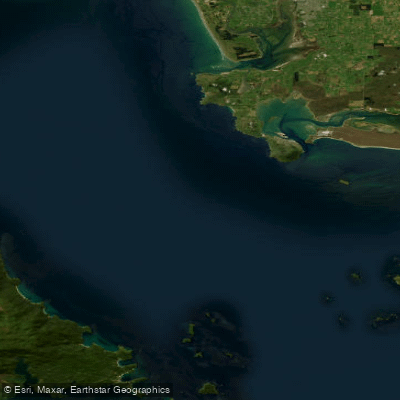
Te Ara-a-Kiwa / Foveaux Strait
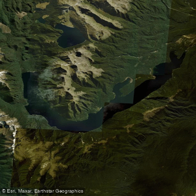
Lake Monowai
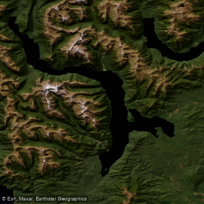
Lake Hauroko
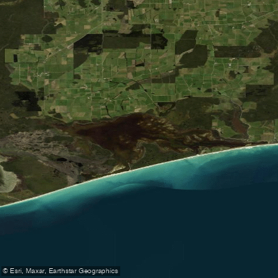
Waipārera / Waituna Lagoon
Wairaurahiri River
Ōreti Beach
Rakeahua River
Explore Southland waters
Top paddling waters
No waters available right now.
Popular Cities
Loading popular cities...
Explore near Te Waewae Bay

Smarter Paddling Starts in the App.
Paddleways gives you everything you need to plan smarter, paddle better, and own every trip from first launch to takeout.