Lake Hauroko
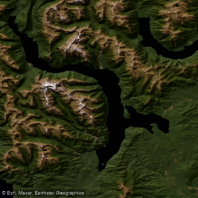
Lake Hauroko
- Boat Ramps
- 1
- Access Points
- 0
- Campsites
- 0
Lake Hauroko is New Zealand's deepest lake at 462 metres, an S-shaped body of water 32 kilometres long with a surface area of 65 square kilometres. It sits within Fiordland National Park near Tuatapere in Southland, one of the country's southernmost lakes, with its surface approximately 155 metres above sea level. The lake drains via the 20-kilometre Wairaurahiri River into Foveaux Strait. Steep glacially carved valley walls rise sharply from the water on both sides, with beech forest clinging to the slopes and waterfalls dropping directly into the lake. The forest imparts a dark humic stain to the water, making it notably dark in appearance.
Access is from the end of Lillburn Valley Road, reached by turning off State Highway 99 (the Southern Scenic Route). A boat ramp and jetty are present at the road end. Note that overhanging trees on the access road make it impossible to rig a sailing vessel before launching. The nearest town for supplies and fuel is Tuatapere, approximately 35 kilometres away via a gravel road for the final 25 kilometres.
The lake has a well-established reputation for dangerous and unpredictable winds. The name "Hauroko" translates from te reo Māori as "soughing of the wind" or "sounding wind," and the steep valley walls funnel winds along the lake's length, generating waves rapidly. Conditions tend to be calmer in the mornings. There is little shelter from southerly winds along the main lake. Paddlers should treat this water body with considerable caution.
From the water, paddlers can access Teal Bay Hut, Caroline Hut, and Hauroko Burn Hut. Mary Island, the largest island in the lake, lies a few bays north of the road-end access point and is a potential destination for experienced open-water paddlers. The lake also serves as the starting point for the Wairaurahiri River, a continuous Grade II run dropping 150 metres over 25 kilometres to the Foveaux Strait coast.
Lake Hauroko is Didymo-free and supports one of the most diverse native macrophyte communities in New Zealand, including freshwater sponges. Because of this ecological significance, all vessels and gear must be thoroughly cleaned before and after use. The lake is described as a conservation estate lake, and paddlers should adhere strictly to biosecurity protocols to protect its rare aquatic flora.
Water access, boat ramps & amenities
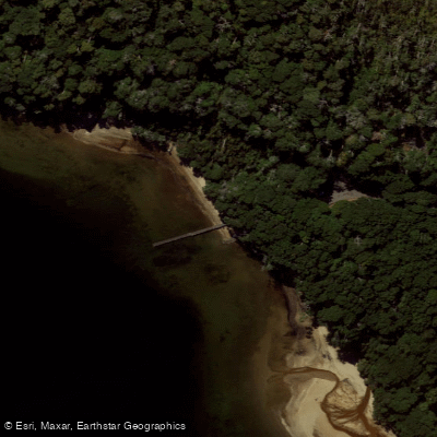
Learn how to get on Lake Hauroko. Uncover great paddling access points, boat ramps, and all the facilities you need for an unforgettable day on the water. Some locations shown may border or include private property. Always check property boundaries and applicable regulations before visiting. PaddleWays's Public & Private Land layer can help you plan your access with confidence.
Paddle smarter with real-time insights
Whether you're en route and conditions shift or you're looking for the best spot based on current flows, we enable you to make informed decisions on the fly.







Southland licenses and regulations
No licenses or regulations available for Southland.
Find Places to Paddle

Over 400,000 Places to Paddle
Every user gets free access to launch points, boat ramps, and public property parcels.


Water and weather conditions (10 day forecast)
See the best times to paddle Lake Hauroko and check the forecast before you go.
Wairaurahiri At Lake Hauroko
Paddling near Lake Hauroko
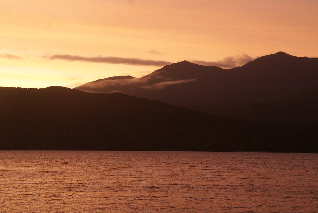
Lake Te Anau
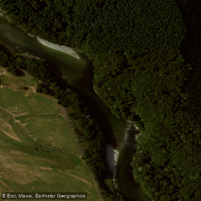
Waiau River
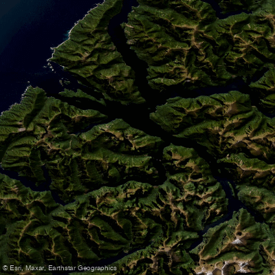
Doubtful Sound / Patea
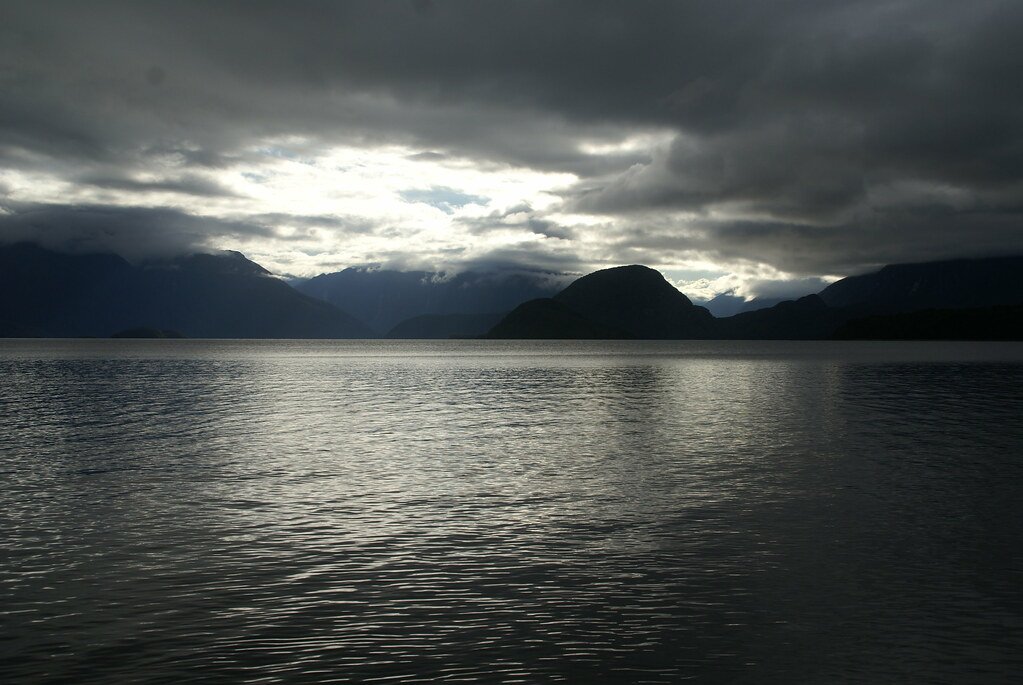
Lake Manapouri
Mararoa River
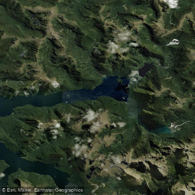
Kaikiekie / Bradshaw Sound
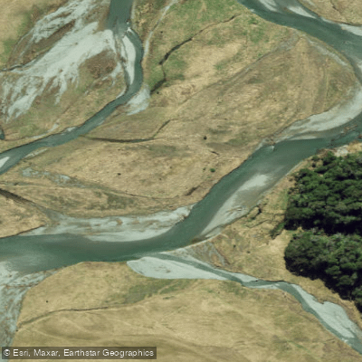
Eglinton River West Branch
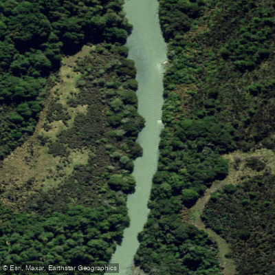
Eglinton River
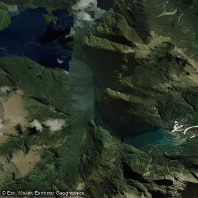
Kutupārera / Gaer Arm
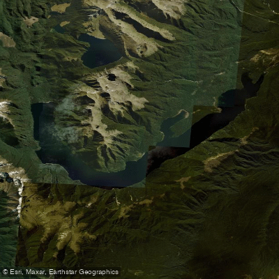
Lake Monowai
Explore Southland waters
Top paddling waters
No waters available right now.
Popular Cities
Loading popular cities...
Explore near Lake Hauroko

Smarter Paddling Starts in the App.
Paddleways gives you everything you need to plan smarter, paddle better, and own every trip from first launch to takeout.