Wairaurahiri River
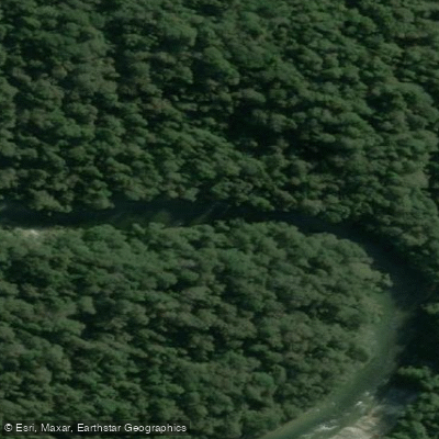
Wairaurahiri River
- Boat Ramps
- 0
- Access Points
- 0
- Campsites
- 0
The Wairaurahiri River flows through southern Fiordland in New Zealand, running approximately 25–27 kilometres from Lake Hauroko to the coast of Foveaux Strait, dropping around 150 metres (roughly 600 feet) in elevation over that distance. The river is rated grade II to III depending on flow conditions, with the more challenging rapids concentrated in the first third of the river. It is considered a continuous whitewater experience, meaning paddlers should expect sustained rapids rather than isolated drops with long flatwater sections between them.
The primary access point is Lake Hauroko, New Zealand's deepest lake, which must be crossed to reach the river's outlet at Teal Bay. Crossing the lake can be difficult and dangerous depending on weather and conditions. An alternative access route is the Teal Bay Track, and the Teal Bay to South Coast Track option allows vehicles to be left at a single point, simplifying logistics. The river exits at the south coast, where Waitutu Lodge provides accommodation and facilities including running water, hot showers, electric lighting, and a stove. A Department of Conservation hut is also located near the river mouth.
Two jet boat operators — Wairaurahiri Jet and Wairaurahiri Wilderness Jet — run regular services on the river during peak season, offering transport, pack drops at Wairaurahiri Hut or Waitutu Lodge, and shuttle assistance. Their presence on the river is worth factoring into trip planning, as jet boats operate frequently and paddlers should stay alert to river traffic. These operators can also assist with vehicle relocation and logistics.
The Wairaurahiri River has been confirmed as Didymo-free, which is a notable distinction in the region given that several nearby rivers and lakes are affected by this invasive algae. Sandflies are present and described as aggressive, particularly around the lodge at the river's end.
The river passes through remote, wild terrain in southern Fiordland, with the surrounding landscape characterised by dense native bush. The river is used by hunters, fishermen, trampers, and paddlers, and sea-run brown trout have been caught near the river mouth. The Humpridge Track intersects with the river at the south coast end, making combined tramp-and-paddle itineraries a practical option for those planning multi-day trips in the area.
Water access, boat ramps & amenities
Learn how to get on Wairaurahiri River. Uncover great paddling access points, boat ramps, and all the facilities you need for an unforgettable day on the water. Some locations shown may border or include private property. Always check property boundaries and applicable regulations before visiting. PaddleWays's Public & Private Land layer can help you plan your access with confidence.
Paddle smarter with real-time insights
Whether you're en route and conditions shift or you're looking for the best spot based on current flows, we enable you to make informed decisions on the fly.







Southland licenses and regulations
No licenses or regulations available for Southland.
Find Places to Paddle

Over 400,000 Places to Paddle
Every user gets free access to launch points, boat ramps, and public property parcels.


Water and weather conditions (10 day forecast)
See the best times to paddle Wairaurahiri River and check the forecast before you go.
No forecast data available.
Paddling near Wairaurahiri River
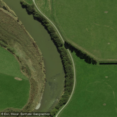
Õreti River
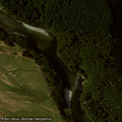
Waiau River
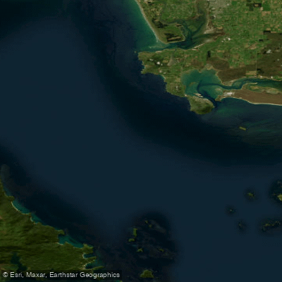
Te Ara-a-Kiwa / Foveaux Strait
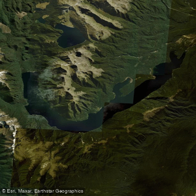
Lake Monowai
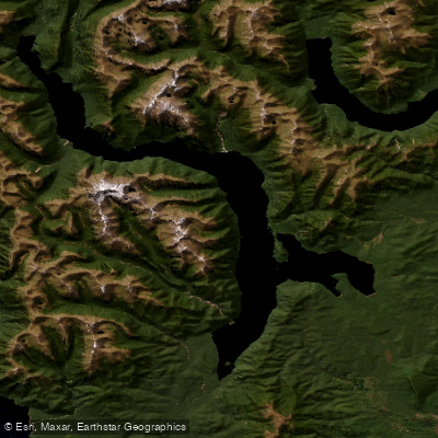
Lake Hauroko
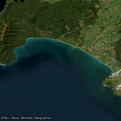
Te Waewae Bay
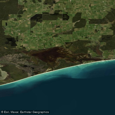
Waipārera / Waituna Lagoon
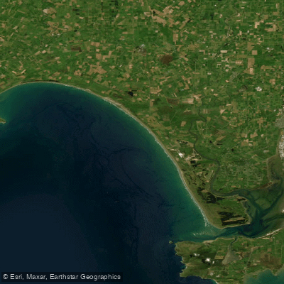
Ōreti Beach
Rakeahua River
Explore Southland waters
Top paddling waters
No waters available right now.
Popular Cities
Loading popular cities...
Explore near Wairaurahiri River

Smarter Paddling Starts in the App.
Paddleways gives you everything you need to plan smarter, paddle better, and own every trip from first launch to takeout.