Mawheraiti / Little Grey River
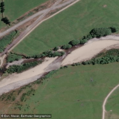
Mawheraiti / Little Grey River
- Boat Ramps
- 0
- Access Points
- 0
- Campsites
- 0
The Mawheraiti River, also known as the Little Grey River, is a tributary of the Grey River on New Zealand's West Coast, joining the Grey near Ikamatua, a settlement located between Greymouth and Reefton. The river rises near the Inangahua River north of Reefton and flows southward for approximately 33 kilometres before reaching its confluence with the Grey. Its average gradient is slight, suggesting generally low-gradient, calm water rather than whitewater conditions.
The river is characteristically tea-coloured, a common trait of West Coast streams influenced by tannins from surrounding vegetation. It is described as a smallish stream, which paddlers should factor into trip planning, particularly regarding navigability during lower water levels. The West Coast region is subject to heavy flooding, and water levels can vary considerably depending on recent rainfall.
Access to the river is available from the Atarau Road Bridge and where State Highway 7 crosses the Mawheraiti. Where the river does not run alongside the road, access requires permission from adjacent landowners. Paddlers should be aware of this land access requirement when planning put-in and take-out points.
The river's scenic and recreational values are rated as exceptional in recreational river assessments, suggesting the surrounding landscape offers worthwhile natural character. The area reflects the broader West Coast environment, with evidence of historical mining operations present in parts of the wider Grey River catchment.
Given the West Coast's rainfall patterns and the river's susceptibility to flooding, water levels can change rapidly. Paddlers planning trips should monitor conditions carefully and be prepared for the river to run high and fast following rain events. The slight average gradient and small size of the river mean it may be best suited to paddling during moderate flow conditions rather than during or immediately after significant rainfall events.
Water access, boat ramps & amenities
Learn how to get on Mawheraiti / Little Grey River. Uncover great paddling access points, boat ramps, and all the facilities you need for an unforgettable day on the water. Some locations shown may border or include private property. Always check property boundaries and applicable regulations before visiting. PaddleWays's Public & Private Land layer can help you plan your access with confidence.
Paddle smarter with real-time insights
Whether you're en route and conditions shift or you're looking for the best spot based on current flows, we enable you to make informed decisions on the fly.







West Coast licenses and regulations
No licenses or regulations available for West Coast.
Find Places to Paddle

Over 400,000 Places to Paddle
Every user gets free access to launch points, boat ramps, and public property parcels.


Water and weather conditions (10 day forecast)
See the best times to paddle Mawheraiti / Little Grey River and check the forecast before you go.
No forecast data available.
Paddling near Mawheraiti / Little Grey River
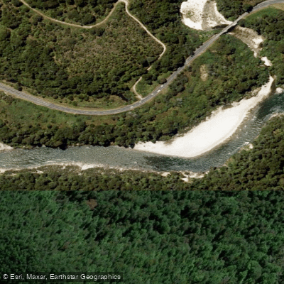
Buller River
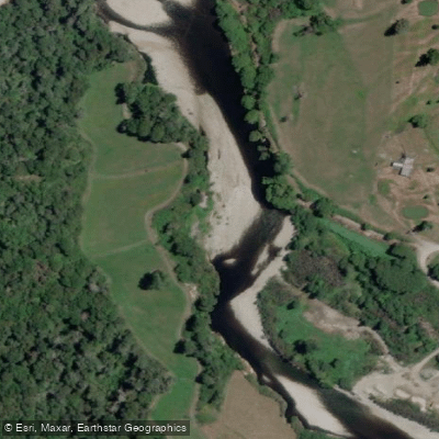
Inangahua River
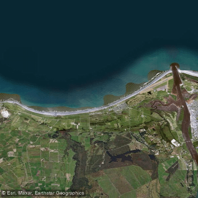
Carters Beach
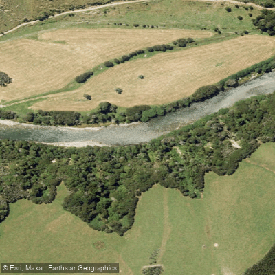
Maruia River
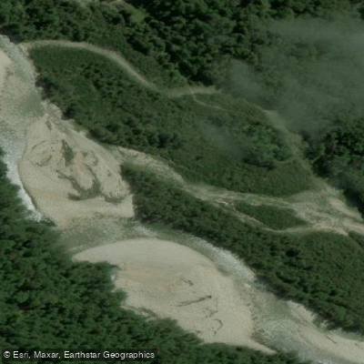
Waitahu River
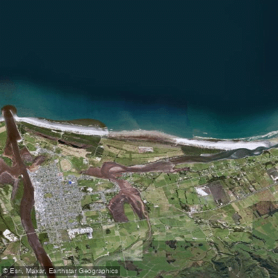
North Beach
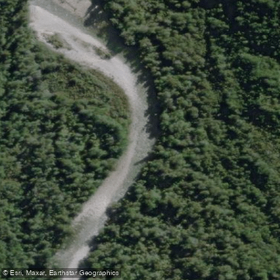
Waitakere or Nile River
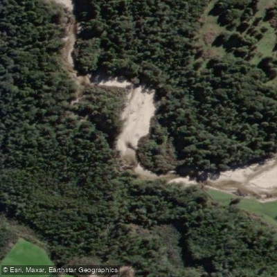
Ōkari River
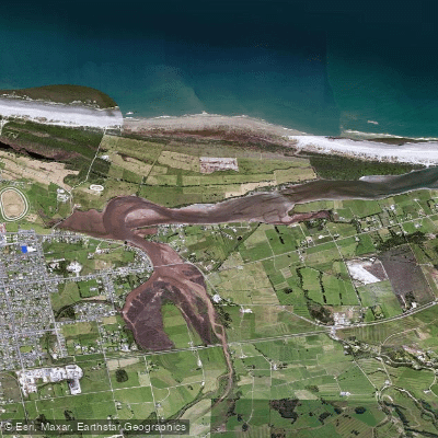
Orowaiti Lagoon
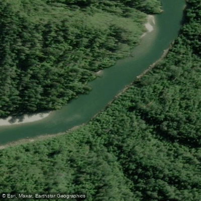
Mōkihinui River
Explore West Coast waters
Top paddling waters
No waters available right now.
Popular Cities
Loading popular cities...
Explore near Mawheraiti / Little Grey River

Smarter Paddling Starts in the App.
Paddleways gives you everything you need to plan smarter, paddle better, and own every trip from first launch to takeout.