Flint Creek
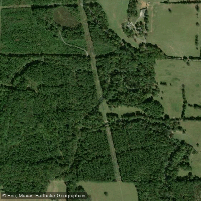
Flint Creek
- Boat Ramps
- 1
- Access Points
- 2
- Campsites
- 1
Flint Creek is a scenic waterway in northern Alabama that offers diverse paddling opportunities for both novice and experienced paddlers. The creek originates in Cullman County and flows northward for approximately 40 miles before joining the Tennessee River at Wheeler Lake. Its primary watershed drains portions of Cullman, Morgan and Lawrence counties. The creek features several distinct paddling sections, ranging from flatwater to mild whitewater.
The most popular stretch is the 20-mile Wheeler Wildlife Refuge Flint Creek Canoe Trail, which meanders between AL-36 and US-31 through picturesque landscapes and the Wheeler National Wildlife Refuge. This section is ideal for canoes and kayaks, providing a peaceful journey with abundant wildlife viewing opportunities.
For those seeking more excitement, the East Fork of Flint Creek offers a 6.2-mile whitewater run from CR 1386 to Wilhites Road Bridge. This Class II-III+ section features technical rapids and a 10-foot waterfall, making it an excellent introduction to creek boating for intermediate paddlers.
The creek's difficulty ranges from flatwater suitable for beginners to Class III+ rapids requiring more advanced skills. Water levels are generally most reliable in spring and early summer, though the main stem is fed year-round by cold springs, allowing for consistent paddling conditions. Summer and fall are ideal seasons for leisurely floats and camping trips.
Notable wildlife includes diverse bird species within the Wheeler refuge, as well as turtles, fish, and the occasional river otter. The surrounding forests showcase a mix of hardwoods and pines typical of the region.
Key access points include put-ins at Highway 72, Ryland Pike, and CR 1386, with popular take-outs at Little Cove Road and Hays Nature Preserve. The nearby cities of Huntsville and Decatur provide amenities and outfitters for paddlers.
Flint Creek holds cultural significance as a longstanding recreation destination for local communities. Recent partnerships between conservation groups and local governments have improved access and preservation efforts along the waterway.
Safety considerations include being aware of strainers and log jams, especially after high water events. Paddlers should also respect wildlife refuge regulations, including restrictions on camping within refuge boundaries.
For multi-day adventures, the creek offers good camping opportunities along its banks, with several established sites available. A popular overnight trip runs from Ryland Pike to Hays Nature Preserve, allowing paddlers to fully immerse themselves in the natural beauty of this hidden gem in the heart of northern Alabama.
Water access, boat ramps & amenities
Learn how to get on Flint Creek. Uncover great paddling access points, boat ramps, and all the facilities you need for an unforgettable day on the water. Some locations shown may border or include private property. Always check property boundaries and applicable regulations before visiting. PaddleWays's Public & Private Land layer can help you plan your access with confidence.
Paddle smarter with real-time insights
Whether you're en route and conditions shift or you're looking for the best spot based on current flows, we enable you to make informed decisions on the fly.








Find Places to Paddle

Over 400,000 Places to Paddle
Every user gets free access to launch points, boat ramps, and public property parcels.


Water and weather conditions (10 day forecast)
See the best times to paddle Flint Creek and check the forecast before you go.
FLINT CREEK NEAR FALKVILLE AL
All Flow Stations
Paddling near Flint Creek

Tennessee River
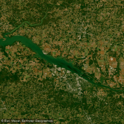
Wheeler Lake
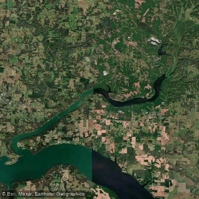
Wheeler Reservoir
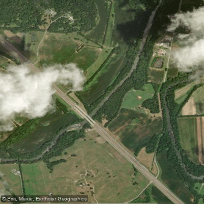
Elk River
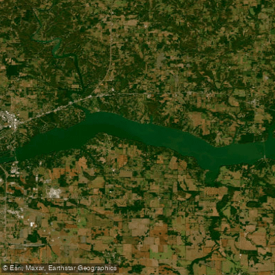
Wilson Lake
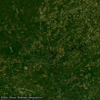
Lewis Smith Lake
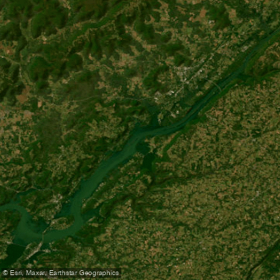
Guntersville Lake
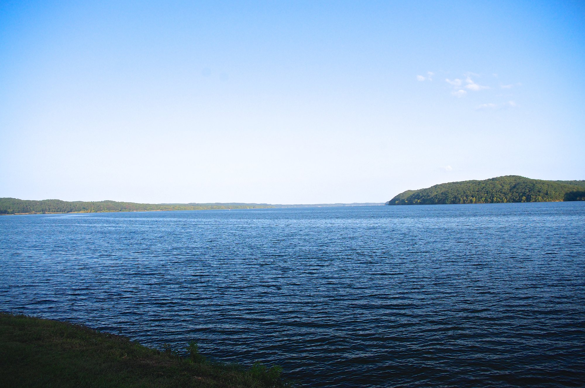
Pickwick Lake
Upper Bear Creek Reservoir
Explore Alabama waters
Top paddling waters
Popular Cities
Loading popular cities...
Explore near Flint Creek
Access points
Nearby waters
More in Alabama

Smarter Paddling Starts in the App.
Paddleways gives you everything you need to plan smarter, paddle better, and own every trip from first launch to takeout.