Wheeler Reservoir
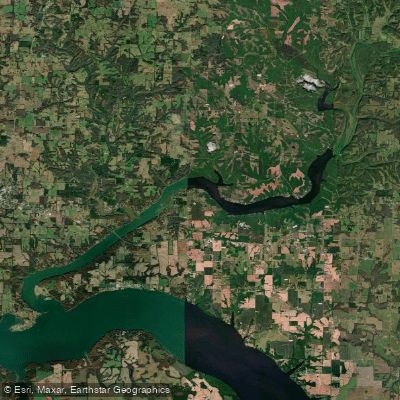
Wheeler Reservoir
- Boat Ramps
- 7
- Access Points
- 7
- Campsites
- 0
Wheeler Reservoir is a 67,000-acre lake on the Tennessee River in northern Alabama, offering diverse paddling opportunities. The lake stretches for 60 miles and features a mix of open water, backwater sloughs, and feeder creeks. Popular access points include Flint Creek Casual Ramp and Arrowhead Landing in the Wheeler National Wildlife Refuge.
Paddlers should be aware of potential hazards including large numbers of downed trees forming strainers in streams, and choppy conditions that can develop on windy days in open bays. The lake experiences seasonal water level fluctuations, with levels typically lowered during winter months.
Wildlife viewing is a highlight, with opportunities to spot bald eagles, herons, egrets, and a variety of waterfowl. During winter, thousands of sandhill cranes congregate in areas like Flint Creek. Alligators are occasionally seen, particularly in Limestone Cove near Mooresville.
The lake offers year-round paddling, but winter is considered best for bird watching. Summer can be very hot with increased insect activity. Water clarity varies, with some areas described as clear while others can be muddy.
Fishing is popular, with largemouth bass, smallmouth bass, catfish, and crappie among the common catches. The lake holds state records for blue catfish.
Amenities for paddlers include boat ramps, parking areas, and nearby camping options at locations like Point Mallard Park. However, camping is not allowed within Wheeler National Wildlife Refuge itself.
Wheeler Reservoir's mix of open water, secluded backwaters, and wildlife viewing opportunities make it a premier destination for kayakers and canoeists in Alabama. Its proximity to the Huntsville metro area contributes to its popularity among paddlers.
Water access, boat ramps & amenities
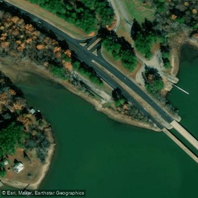
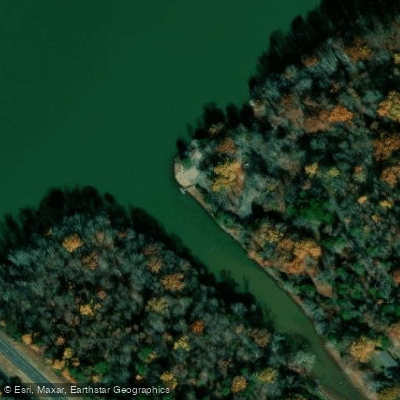
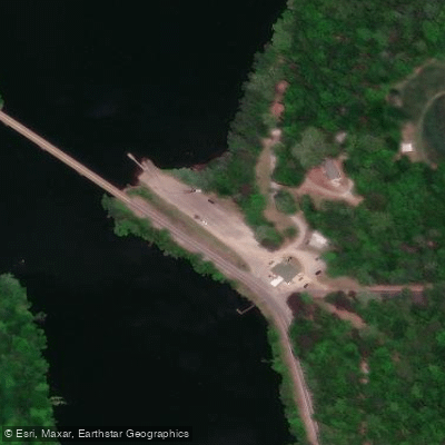
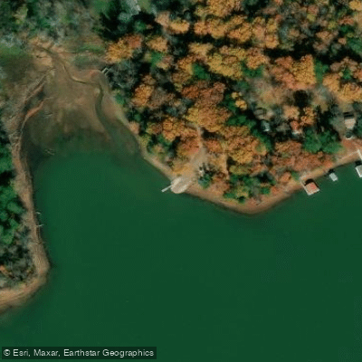
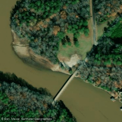
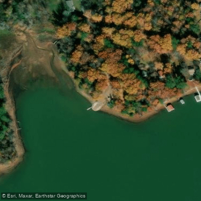
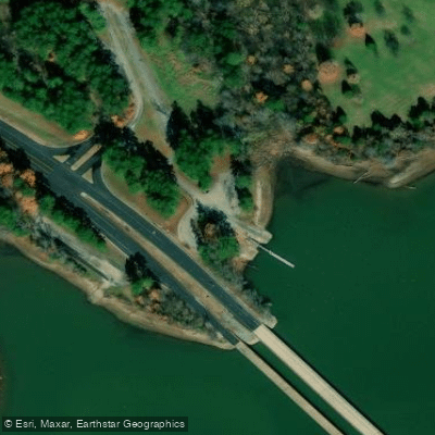
Learn how to get on Wheeler Reservoir. Uncover great paddling access points, boat ramps, and all the facilities you need for an unforgettable day on the water. Some locations shown may border or include private property. Always check property boundaries and applicable regulations before visiting. PaddleWays's Public & Private Land layer can help you plan your access with confidence.
Paddle smarter with real-time insights
Whether you're en route and conditions shift or you're looking for the best spot based on current flows, we enable you to make informed decisions on the fly.








Find Places to Paddle

Over 400,000 Places to Paddle
Every user gets free access to launch points, boat ramps, and public property parcels.


Water and weather conditions (10 day forecast)
See the best times to paddle Wheeler Reservoir and check the forecast before you go.
No forecast data available.
Paddling near Wheeler Reservoir

Tennessee River
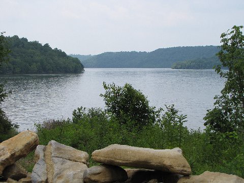
Tims Ford Lake
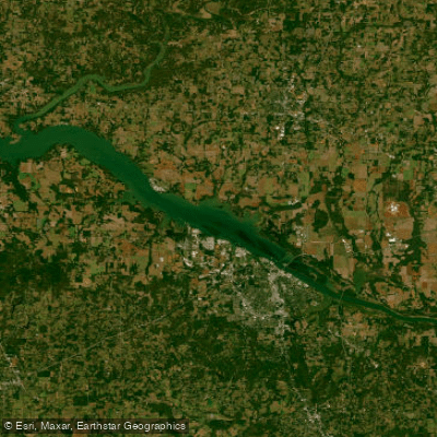
Wheeler Lake
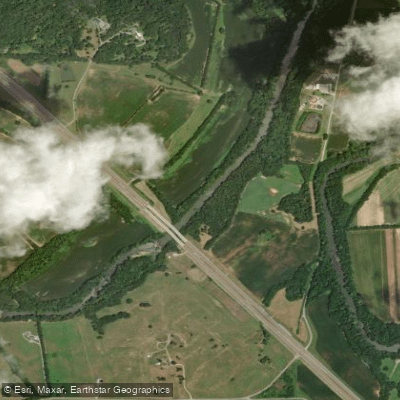
Elk River
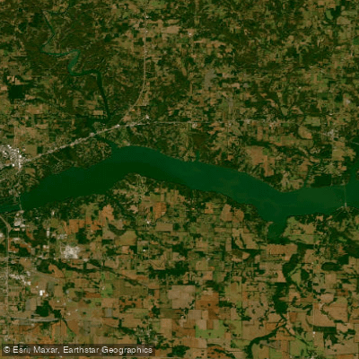
Wilson Lake
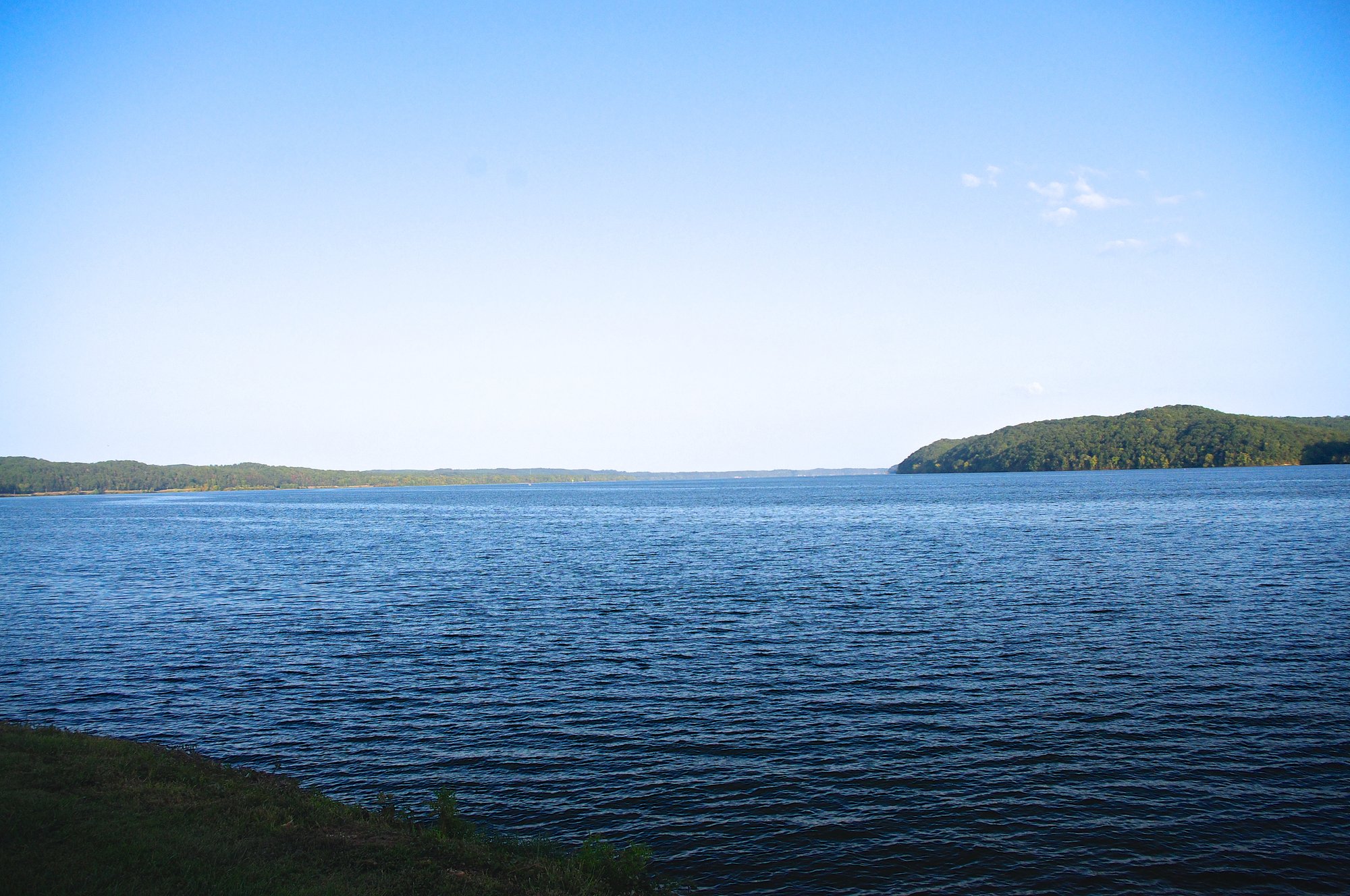
Pickwick Lake
Guntersville Lake
Flint Creek
Richland Creek
Explore Alabama waters
Top paddling waters
Popular Cities
Loading popular cities...
Explore near Wheeler Reservoir
Access points
Nearby waters
More in Alabama

Smarter Paddling Starts in the App.
Paddleways gives you everything you need to plan smarter, paddle better, and own every trip from first launch to takeout.