Pickwick Lake
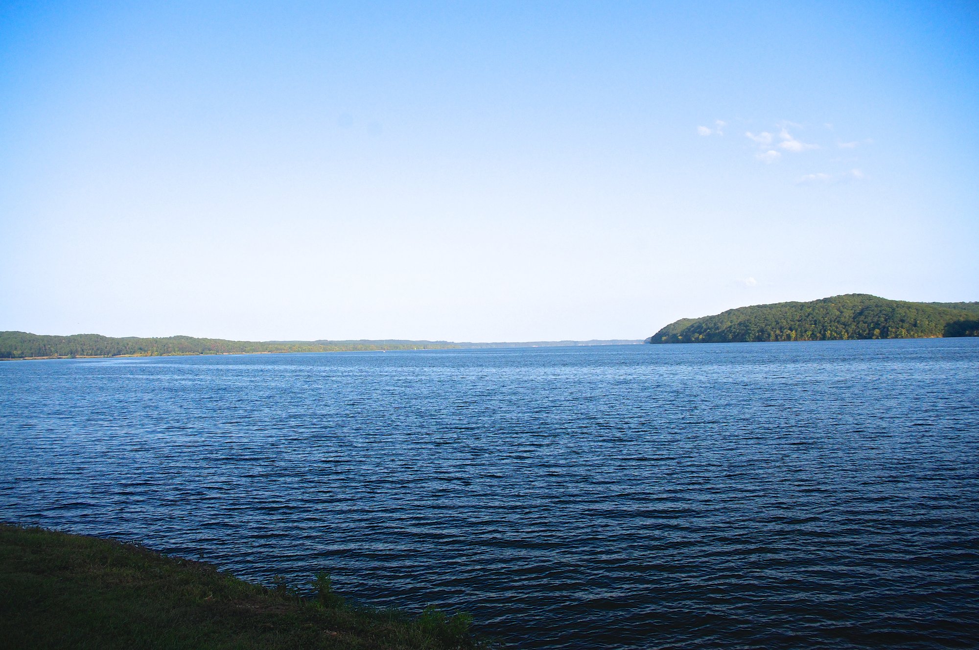
Pickwick Lake
- Boat Ramps
- 26
- Access Points
- 26
- Campsites
- 8
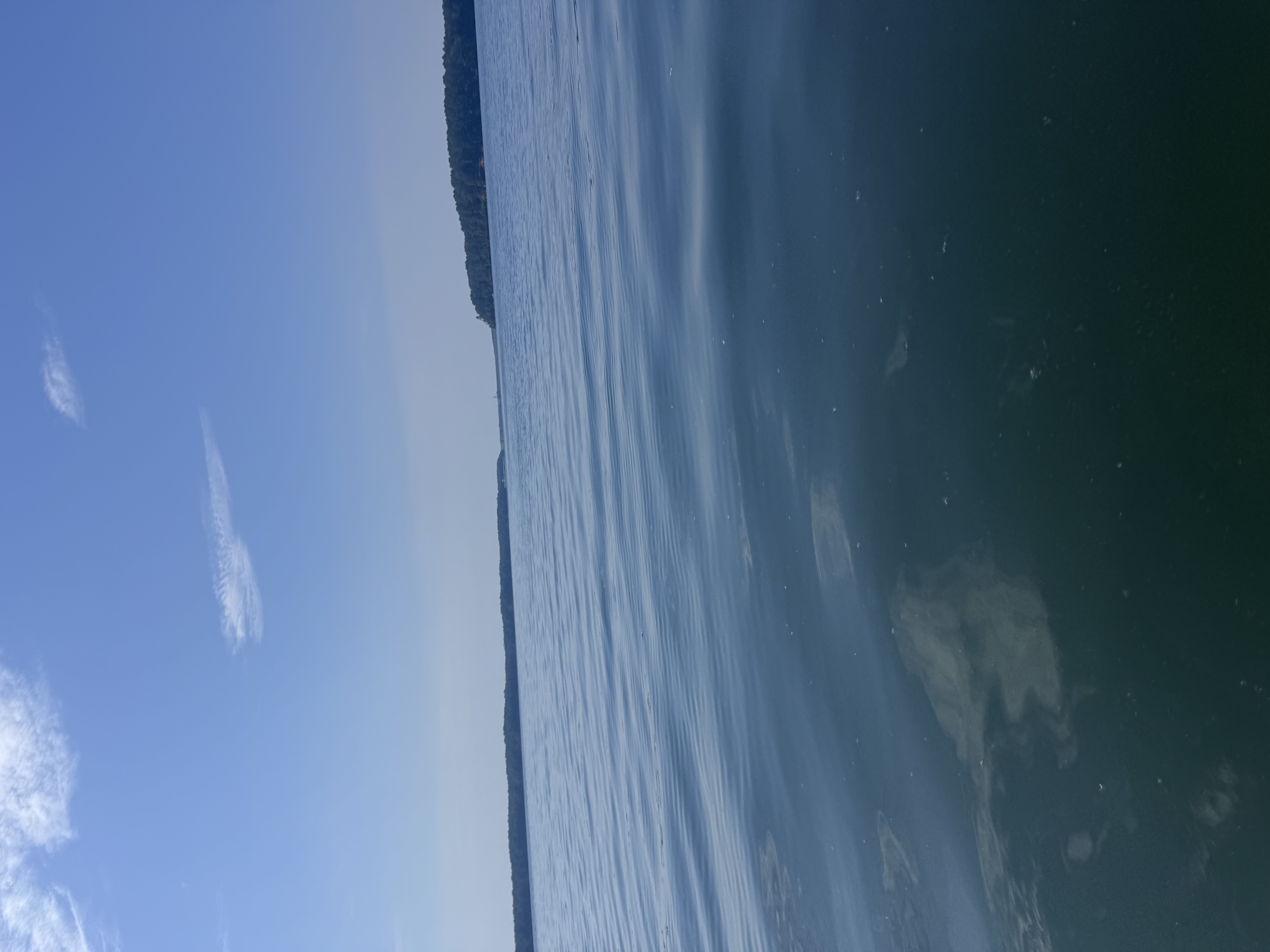
Pickwick Lake is a 43,100-acre reservoir spanning Alabama, Mississippi, and Tennessee. The lake extends 52.7 miles from Wilson Dam to Pickwick Landing Dam, offering paddlers extensive waters to explore. With deep channels and numerous coves, Pickwick provides diverse paddling opportunities.
Access points include the State Line Boat Launch on Yellow Creek near Highway 57 and J.P. Coleman State Park on Indian Creek. These locations offer concrete boat ramps and parking areas suitable for launching kayaks and canoes.
The lake is known for its scenic beauty, featuring high stone walls that create magnificent waterfalls along pine-bordered shores. Paddlers can enjoy gunkholing in the many coves or exploring miles of pastoral scenery. The lake's inherent beauty is enhanced by these natural features.
Fall is an excellent time for paddling Pickwick, as bass migrate from deeper waters to shallower areas in the 10-15 foot range. This transition period offers opportunities to observe fish activity in clearer waters. Paddlers should be aware of boat traffic, especially around marinas and popular fishing spots.
Pickwick Lake has a reciprocal license agreement between Alabama, Mississippi, and Tennessee. Paddlers should be aware that while a license from any of these states is valid on shared waters, regulations may differ depending on the specific area being paddled.
The lake is home to diverse wildlife, including various fish species like largemouth bass, smallmouth bass, and catfish. Paddlers may encounter these species, especially around boat docks, marinas, and grass beds.
Facilities for paddlers are available at state parks and marinas around the lake, though specific amenities for non-motorized watercraft vary by location.
Water access, boat ramps & amenities
Learn how to get on Pickwick Lake. Uncover great paddling access points, boat ramps, and all the facilities you need for an unforgettable day on the water. Some locations shown may border or include private property. Always check property boundaries and applicable regulations before visiting. PaddleWays's Public & Private Land layer can help you plan your access with confidence.
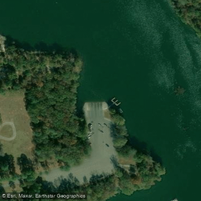
Pickwick State Park Boat Ramp
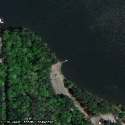
Goat Island Boat Ramp
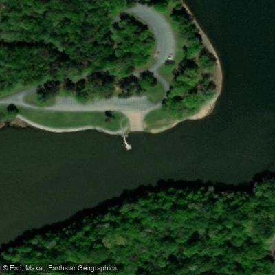
Colbert Ferry Boat Ramp
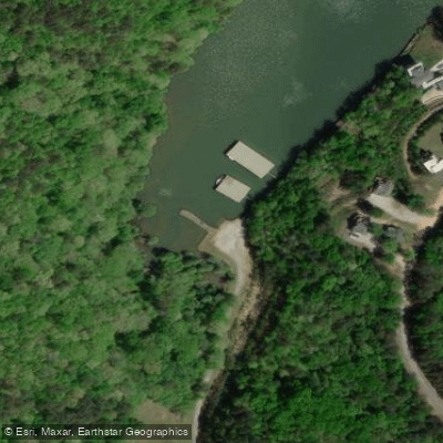
Jp Coleman State Park Boat Ramp
Robinson Boat Ramp
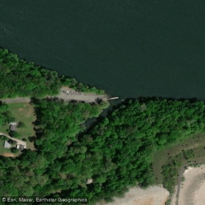
Pride Station Boat Ramp
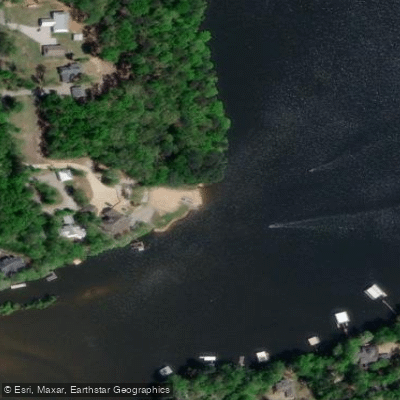
Elks Boat Ramp
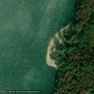
TVA State Line Island Boat Ramp
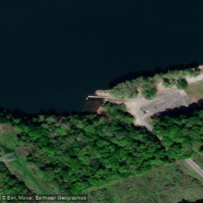
Muscle Shoals Reservation Boat Ramp
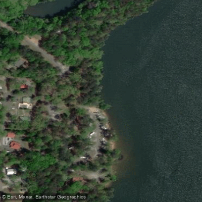
Jp Coleman State Park Camp Ground Boat Ramp
Paddle smarter with real-time insights
Whether you're en route and conditions shift or you're looking for the best spot based on current flows, we enable you to make informed decisions on the fly.








Find Places to Paddle

Over 400,000 Places to Paddle
Every user gets free access to launch points, boat ramps, and public property parcels.


Water and weather conditions (10 day forecast)
See the best times to paddle Pickwick Lake and check the forecast before you go.
TENNESSEE RIVER AT FLORENCE AL
Paddling near Pickwick Lake

Tennessee River
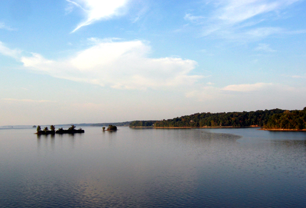
Kentucky Lake
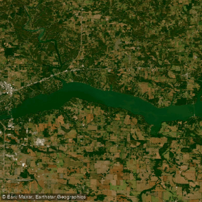
Bay Springs Lake
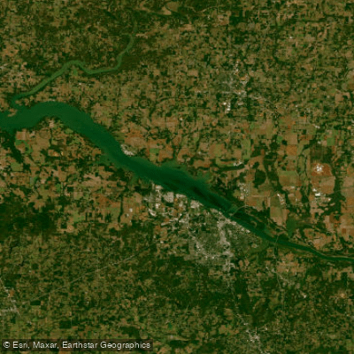
Wilson Lake
Wheeler Lake
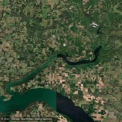
Wheeler Reservoir
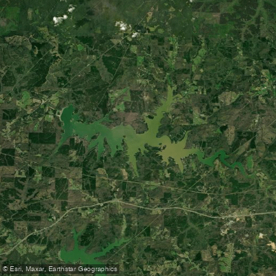
Cedar Creek Reservoir
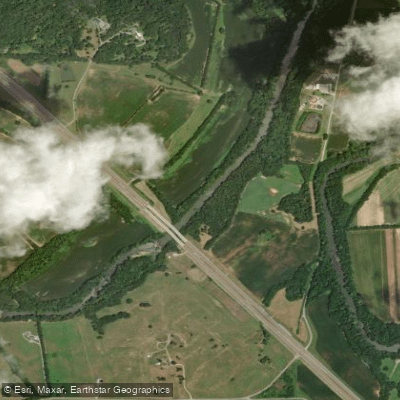
Elk River
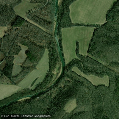
Shoal Creek
Explore Alabama waters
Top paddling waters
Popular Cities
Loading popular cities...
Explore near Pickwick Lake
Access points
- Pickwick State Park Boat Ramp
- Goat Island Boat Ramp
- Colbert Ferry Boat Ramp
- Jp Coleman State Park Boat Ramp
- Robinson Boat Ramp
- Pride Station Boat Ramp
- Elks Boat Ramp
- TVA State Line Island Boat Ramp
- Muscle Shoals Reservation Boat Ramp
- Jp Coleman State Park Camp Ground Boat Ramp
- Jp Coleman State Park Boat Ramp
- Brush Creek Boat Ramp
- All 96 spots
Nearby waters
More in Alabama

Smarter Paddling Starts in the App.
Paddleways gives you everything you need to plan smarter, paddle better, and own every trip from first launch to takeout.