Lake Catoma
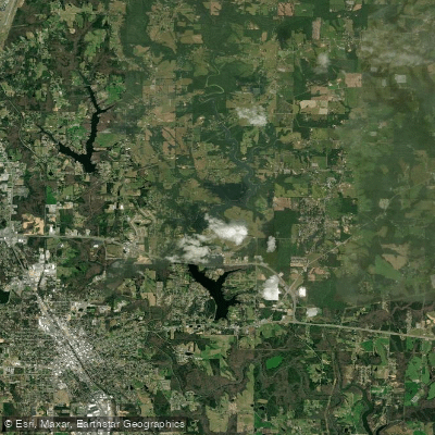
Lake Catoma
- Boat Ramps
- 0
- Access Points
- 0
- Campsites
- 0
Lake Catoma, also known as Catoma Reservoir, is a 536-acre body of water located in the Alabama Mountains tourism region. The lake sits at an elevation of 742 feet above sea level and was created in 1966 when the Lake Catoma Dam was constructed. The primary purpose of the reservoir is to supply raw and drinking water to Cullman County.
The lake's size and purpose make it suitable for calm water paddling. The surrounding area features forested shorelines typical of the Alabama Mountains region, providing scenic views for paddlers.
As a drinking water reservoir, there may be restrictions on recreational activities to protect water quality. It's advisable to check with local authorities regarding any specific regulations or limitations on paddling before planning a trip.
The lake's relatively small size makes it ideal for day trips and shorter paddling excursions.
Wildlife viewing can be a highlight for paddlers on Lake Catoma. Alabama is known for its diverse ecosystems, and lakes in the region often support a variety of aquatic and terrestrial species.
Given its location in the Alabama Mountains, the lake experiences seasonal variations in water levels and temperatures. Paddlers should consider these changes when planning trips throughout the year.
As with any body of water, safety should be a primary concern. Paddlers should always wear appropriate personal flotation devices and be aware of changing weather conditions. It's recommended to consult local resources or authorities for the most up-to-date information on lake conditions and any specific safety considerations for Lake Catoma.
Water access, boat ramps & amenities
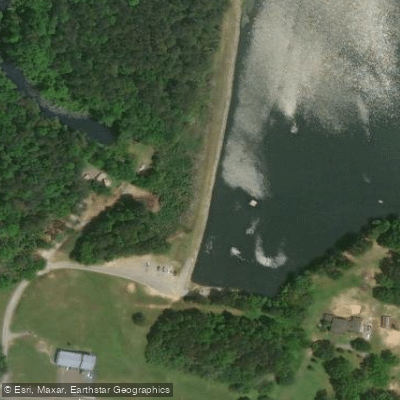
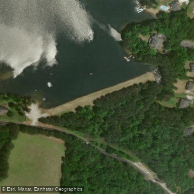
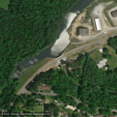
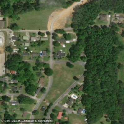
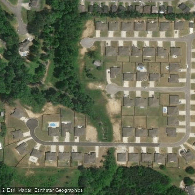
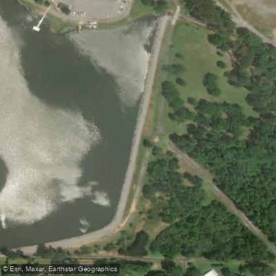
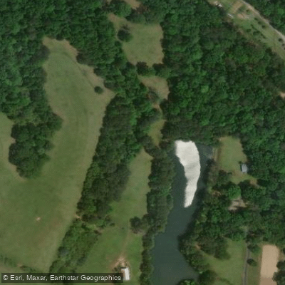
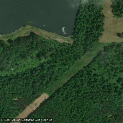
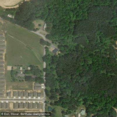
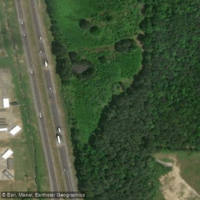
Learn how to get on Lake Catoma. Uncover great paddling access points, boat ramps, and all the facilities you need for an unforgettable day on the water. Some locations shown may border or include private property. Always check property boundaries and applicable regulations before visiting. PaddleWays's Public & Private Land layer can help you plan your access with confidence.
Paddle smarter with real-time insights
Whether you're en route and conditions shift or you're looking for the best spot based on current flows, we enable you to make informed decisions on the fly.








Find Places to Paddle

Over 400,000 Places to Paddle
Every user gets free access to launch points, boat ramps, and public property parcels.


Water and weather conditions (10 day forecast)
See the best times to paddle Lake Catoma and check the forecast before you go.
No forecast data available.
Paddling near Lake Catoma

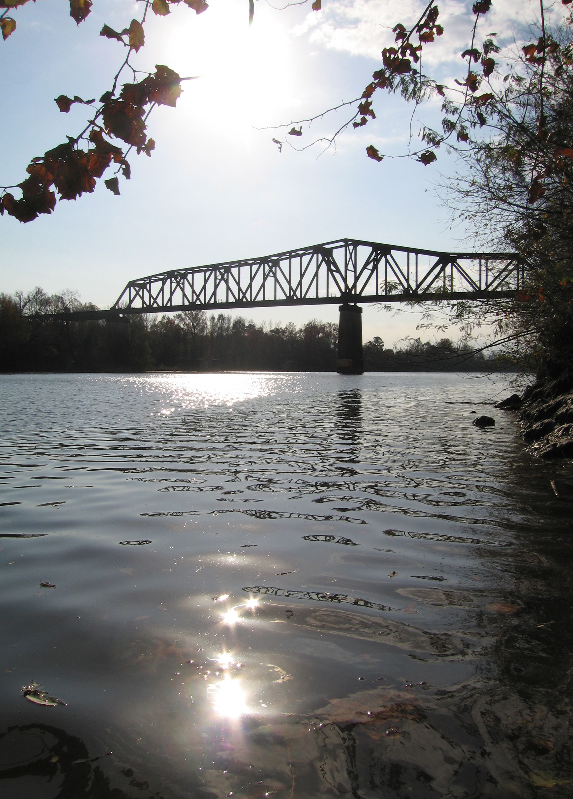
Tennessee River
Black Warrior River
Lewis Smith Lake
Wheeler Lake
Guntersville Lake
Mulberry Fork
Flint Creek
Sipsey Fork
Locust Fork
Explore Alabama waters
Top paddling waters
Popular Cities
Loading popular cities...
Explore near Lake Catoma
Access points
Nearby waters
More in Alabama

Smarter Paddling Starts in the App.
Paddleways gives you everything you need to plan smarter, paddle better, and own every trip from first launch to takeout.