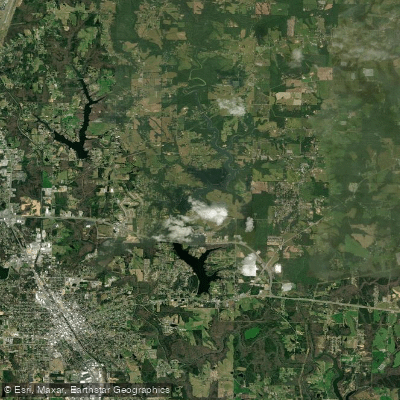
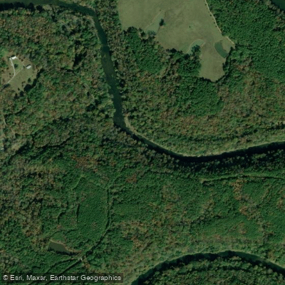
The Sipsey River, located in northwestern Alabama, is a crown jewel of the state's waterways and a premier destination for paddlers seeking both scenic beauty and exciting whitewater. Flowing through the William B. Bankhead National Forest, the Sipsey is Alabama's only designated Wild and Scenic River, offering paddlers a pristine wilderness experience.
The most popular paddling section runs approximately 9 miles from the Sipsey Recreation Area on County Road 60 (Cranal Road) to the takeout near Highway 33 bridge north of Double Springs. This stretch showcases the river's stunning features, including towering sandstone cliffs, lush forests, and numerous waterfalls cascading down canyon walls.
The river's character varies from peaceful flatwater to more challenging Class II rapids, with the highlight being the "100 Yard Dash," an exhilarating Class II rapid about 6 miles into the run. While suitable for intermediate paddlers, the Sipsey can become more challenging at higher water levels, potentially reaching Class II-III in some sections. Novice paddlers should exercise caution and consider lower water conditions or guided trips.
The river is best paddled from April through June and September through November, when water levels are typically favorable and temperatures are pleasant.
The Sipsey's ecosystem is rich and diverse, supporting a variety of flora and fauna. Paddlers may spot native wildlife such as deer, turkey, and various bird species. The river is also home to several threatened and endangered species, underscoring the importance of its protected status.
For those seeking longer adventures, multi-day trips are possible by combining different sections of the river. The upper reaches, including Thompson Creek and Borden Creek, offer additional paddling opportunities and can be linked with the main Sipsey Fork for extended journeys. Numerous primitive camping spots along the river banks provide options for overnight stays.
Access to the river is relatively straightforward, with the main put-in at Sipsey Recreation Area offering ample parking, picnic facilities, and restrooms. A $3 per vehicle fee is required at this location. Other access points include the Thompson Creek Trailhead and Borden Creek Access, allowing paddlers to customize their trips.
Safety is paramount on the Sipsey. Paddlers should always check water levels before their trip, as conditions can change rapidly. The remote nature of the river means that self-rescue skills and proper equipment are essential. It's also important to practice Leave No Trace principles to preserve the river's pristine condition.
The Sipsey River's wild and scenic designation speaks to its historical and ecological significance. Native American artifacts have been found in the area, and the river played a role in early settlement and logging operations. Today, it stands as a testament to conservation efforts and provides a glimpse into Alabama's natural heritage.
Whether you're seeking a day of scenic paddling or a multi-day wilderness adventure, the Sipsey River offers a paddling experience that captures the essence of Alabama's wild places. Its combination of natural beauty, exciting rapids, and protected status make it a must-visit destination for paddlers from across the region and beyond.