Kinchafoonee Creek
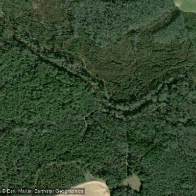
Kinchafoonee Creek
- Boat Ramps
- 4
- Access Points
- 4
- Campsites
- 0
The Kinchafoonee Creek is a scenic waterway in southwestern Georgia, originating near Buena Vista and flowing southward for approximately 92 miles before joining the Flint River near Albany. This tributary of the Flint River winds through the rural countryside of Lee and Dougherty counties, offering paddlers a serene journey through the Georgia landscape. The creek provides excellent paddling opportunities for kayakers and canoeists of various skill levels.
Popular sections include the stretch from Highway 32 Bridge in Leesburg to Sutton's Landing, a 10-12 mile journey taking about 5-5.5 hours. Another favored route is the 6-8 mile trip from Century Road Bridge (Sandy Beach Landing) to Sutton's Landing, typically completed in about 3 hours. These sections generally feature flatwater to Class I rapids, depending on water levels, making them suitable for beginners to intermediate paddlers.
Kinchafoonee Creek's difficulty ranges from flatwater to mild Class I rapids, with the level of challenge varying based on seasonal water fluctuations. The creek is generally paddleable year-round, but spring and fall often offer the most pleasant conditions with moderate water levels and comfortable temperatures.
The creek's ecosystem supports a diverse array of flora and fauna typical of Georgia's coastal plain. Paddlers may encounter various bird species, turtles basking on logs, and possibly glimpse deer or other wildlife along the forested banks. Notable landmarks include the Indian fish weir, an interesting historical feature visible during the Century Road to Sutton's Landing trip. The creek's name itself, believed to be derived from Creek Indian words meaning mortar nutshells, hints at the area's rich Native American heritage.
Primary access points include the Highway 32 Bridge in Leesburg, Century Road Bridge (Sandy Beach Landing), and Sutton's Landing at the Highway 19 bridge. These locations offer good parking and launch facilities for paddlers. The nearby town of Leesburg and city of Albany provide amenities and services for visitors.
Safety considerations include being aware of water levels, which can affect paddling difficulty, and watching for occasional downed trees or strainers. Local outfitters like Up the Creek and Kayak Attack offer rentals, guided trips, and current condition reports, making it easier for visitors to plan safe and enjoyable excursions.
For those seeking a longer adventure, multi-day trips can be arranged by combining different sections of the creek, potentially incorporating portions of the connected Flint River system for an extended paddling experience through southwest Georgia's picturesque waterways.
Water access, boat ramps & amenities
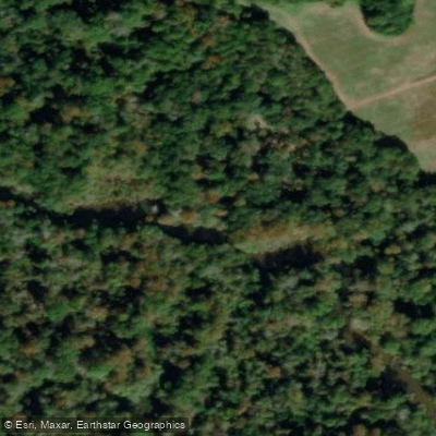
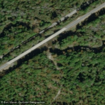
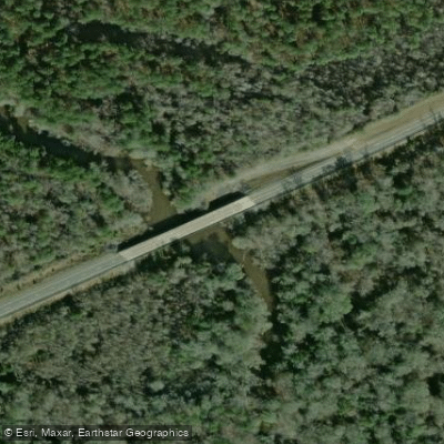
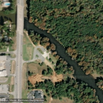
Learn how to get on Kinchafoonee Creek. Uncover great paddling access points, boat ramps, and all the facilities you need for an unforgettable day on the water. Some locations shown may border or include private property. Always check property boundaries and applicable regulations before visiting. PaddleWays's Public & Private Land layer can help you plan your access with confidence.
Paddle smarter with real-time insights
Whether you're en route and conditions shift or you're looking for the best spot based on current flows, we enable you to make informed decisions on the fly.








Find Places to Paddle

Over 400,000 Places to Paddle
Every user gets free access to launch points, boat ramps, and public property parcels.


Water and weather conditions (10 day forecast)
See the best times to paddle Kinchafoonee Creek and check the forecast before you go.
KINCHAFOONEE CREEK AT PRESTON, GA
All Flow Stations
Paddling near Kinchafoonee Creek

Flint River
Lake Blackshear
Ochlockonee River
Alapaha River
Little River
Reed Bingham Park Lake
Lake Patrick
Spring Creek
Aucilla River
Explore Georgia waters
Top paddling waters
Popular Cities
Loading popular cities...
Explore near Kinchafoonee Creek
Access points
- Kinchafoonee Creek at SR3 Bypass
- Wallace Bins Boat Ramp
- Bottsford Boat Ramp
- Sutton's Landing Park Boat Ramp
- Kinchafoonee Creek Bridge
- Kinchafoonee Creek Bridge
- Kinchafoonee Creek Trib Bridge
- Kinchafoonee Creek Bridge
- Kinchafoonee Cr Bridge
- Kinchafoonee Creek Bridge
- Kinchafoonee Creek Bridge
- Kinchafoonee Creek Bridge
- All 69 spots
Nearby waters
More in Georgia

Smarter Paddling Starts in the App.
Paddleways gives you everything you need to plan smarter, paddle better, and own every trip from first launch to takeout.