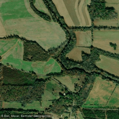
Curated by PaddleWays
RouteClass I
- Distance
- 2 mi
- Paddle time
- ~0.5 hrs
- Best for
- Kayak, canoe
- Put-in → take-out
- Ellisville Bridge Access → Ellisville Bridge Float Access
Terrapin Creek is a scenic waterway nestled in the picturesque landscapes of northeastern Alabama. This crystal-clear, spring-fed creek originates in the foothills of the Appalachian Mountains and meanders for approximately 55 miles before joining the Coosa River below Weiss Dam.
Known for its gentle flow and beautiful surroundings, Terrapin Creek offers an ideal paddling experience for both novice and experienced kayakers and canoeists. The creek is divided into several popular sections, each with its own charm. The upper section, from Frank Stewart Bridge to Roberts Bend, is a favorite among paddlers for its pristine waters and diverse scenery. The lower section, extending from County Road 8 to Ellisville, provides a longer, more leisurely float through pastoral landscapes.
Both sections are primarily Class I in difficulty, making Terrapin Creek an excellent choice for families, beginners, and those seeking a relaxing day on the water. Terrapin Creek's flow is relatively consistent year-round, thanks to its spring-fed nature and watershed lakes in its headwaters. However, the best times to paddle are typically from late spring through early fall when water levels are optimal and temperatures are most comfortable.
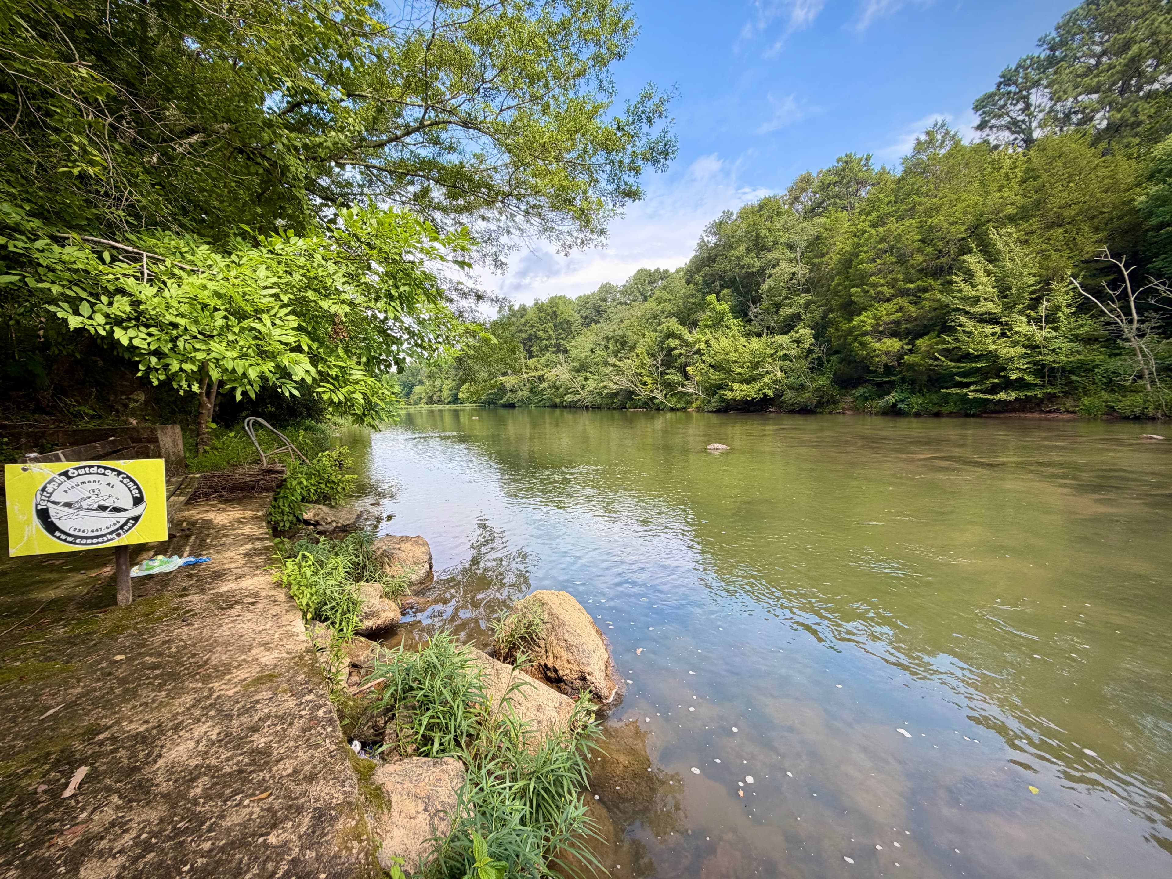
During these months, the creek's banks come alive with lush vegetation, offering paddlers a chance to spot various wildlife, including turtles, fish, and a variety of bird species. Several access points and nearby towns make Terrapin Creek easily accessible. Piedmont serves as a central hub for many paddlers, with outfitters like Terrapin Outdoor Center and No Worries Kayak Rental providing equipment and shuttle services. The creek passes through or near other small communities such as Centre and Borden Springs, each offering its own rustic charm.
One of the creek's most notable features is its intersection with the Chief Ladiga Trail, a popular rails-to-trails project. The Chief Ladiga Trail Campground, situated where the trail meets Terrapin Creek, provides an excellent base for multi-day adventures combining paddling, hiking, and cycling.
Safety on Terrapin Creek is generally straightforward due to its mild nature, but as with any water activity, wearing a life jacket is essential. Paddlers should also be aware of occasional low-hanging branches and submerged rocks, especially during lower water levels.
For those seeking a more extended experience, Terrapin Creek offers excellent opportunities for multi-day trips. Paddlers can combine various sections, camping along the banks or at designated sites like the Seven Sisters Springs area. These longer journeys allow for a deeper immersion in the creek's tranquil beauty and the surrounding natural environment.
Terrapin Creek not only provides recreational opportunities but also plays a significant role in the local ecosystem and community. It's an important habitat for various aquatic species and serves as a popular spot for fishing, particularly in its lower reaches. The creek's pristine waters and scenic beauty have made it a cherished natural resource in the region, attracting nature enthusiasts and contributing to the area's outdoor recreation economy.
Whether you're looking for a short, peaceful float or a multi-day paddling adventure, Terrapin Creek offers a quintessential Alabama outdoor experience. Its clear waters, gentle rapids, and beautiful surroundings make it a must-visit destination for anyone exploring the waterways of the Southeast.
Curated routes
Hand-picked by the PaddleWays team, with put-ins, take-outs, paddle times and the hazards along the way.
RouteClass I
RouteClass I
RouteClass I
RouteClass I
RouteClass I
Hazards
No paddler has reported a hazard here yet, so these are the dams, falls and big rapids on our map. Hazards change with flows and storms, so check them before you launch.
From the community
Real trips from PaddleWays paddlers: which route they ran, how the flows were, and what to watch for.
Loading trip reports
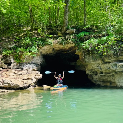
Blanca E.
Kayak •
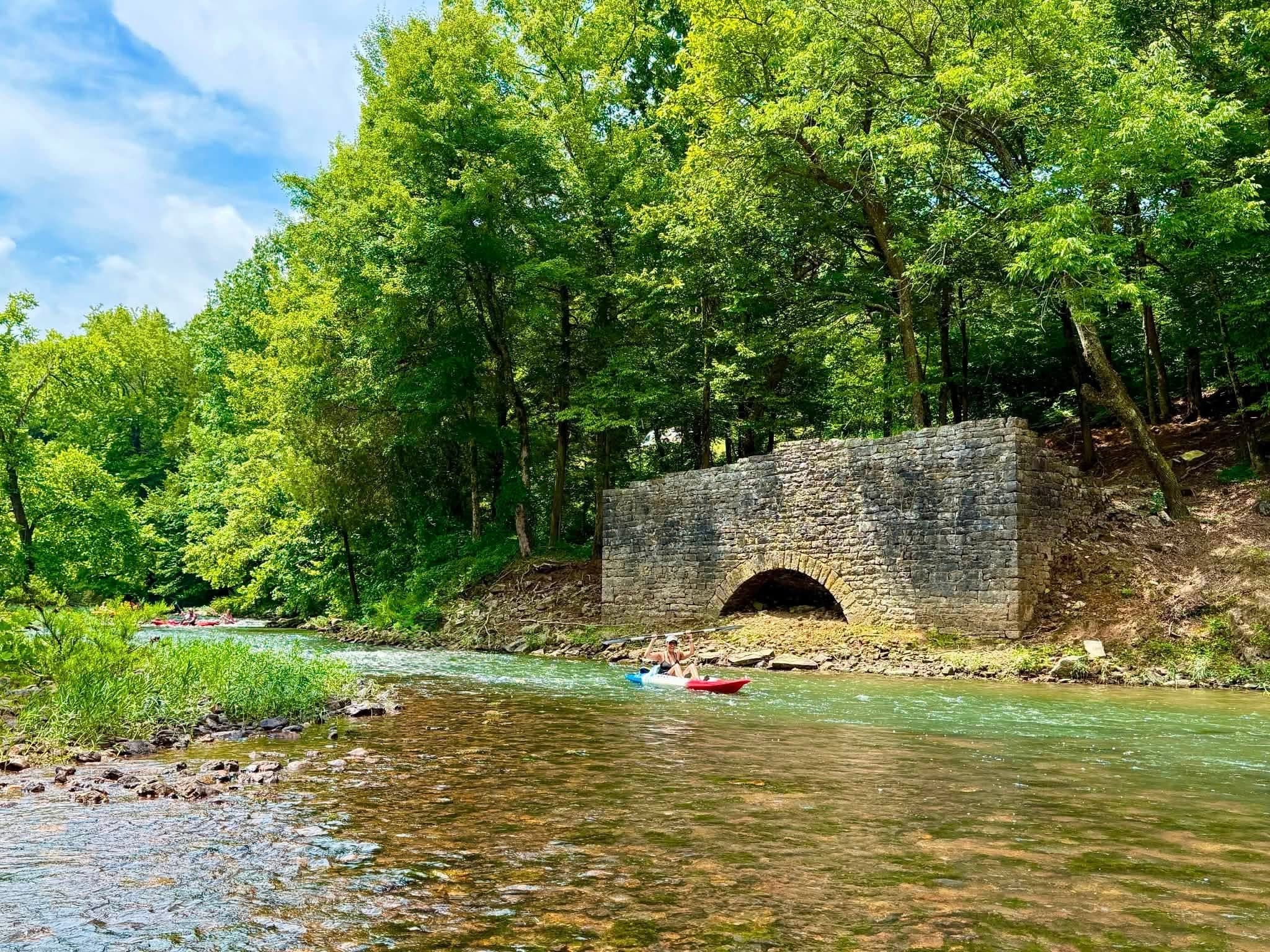
Terrapin Outdoor Center’s SHORT 3.7 miles route
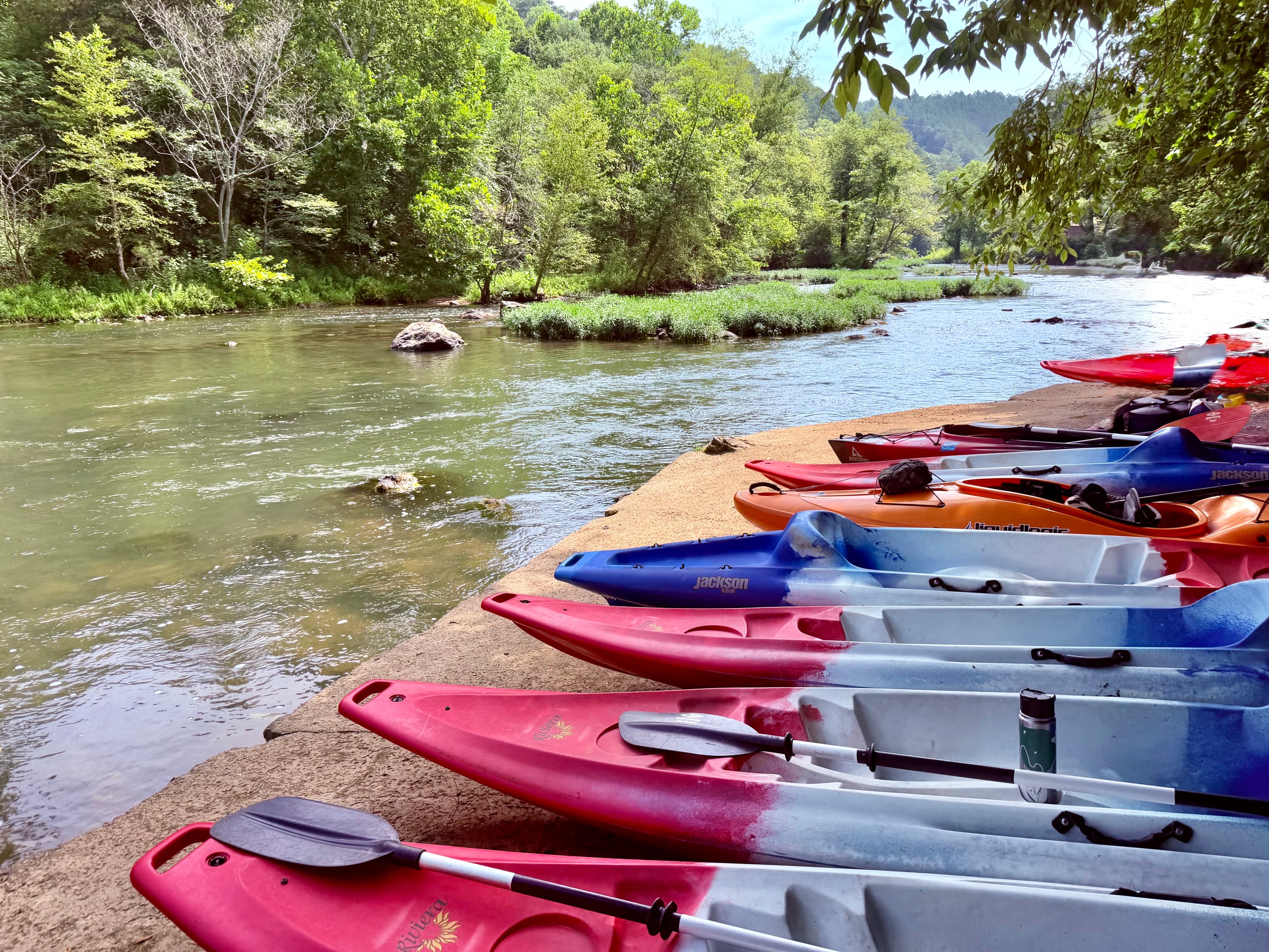 +2
See exactly where the public can get on and off the river. Launch points and boat ramps are paired with PaddleWays' public land data so you know where you can legally land.
Public shoreline
7%of the river's shoreline is public
Most of the riverbank is private. Launch, land and camp only at public access points.
Flows, weather and a route-by-route verdict, so you know which stretch of the Terrapin Creek is worth paddling today.
Live flows, marked hazards and fresh trip reports from paddlers who were just on the water, all in one place.





Every user gets free access to launch points, boat ramps, and public property parcels.

Loading popular cities...
PaddleWays gives you everything you need to plan smarter, paddle better, and own every trip from first launch to takeout.