Curated by PaddleWays
RouteClass II
- Distance
- 5.5 mi
- Paddle time
- 2.5 hrs
- Best for
- Kayak, canoe
- Put-in → take-out
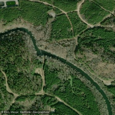
- Powder Plant Road Bridge Access → Johns Road Bridge Access
Valley Creek originates in downtown Birmingham near 5th Avenue and 7th Streets, flowing southwesterly for approximately 22 miles through the cities of Birmingham, Fairfield, Midfield, Lipscomb, Brighton, Hueytown, and Bessemer in Jefferson County, Alabama. The creek drains approximately 87 square miles within the upper basin before continuing its journey to eventually join the Black Warrior River. This urban watershed exhibits the distinctive characteristics of highly developed areas, with flashy hydrographs where lag times between rainfall and runoff remain remarkably short.
The creek's channel varies considerably throughout its course. Stream bottom widths range from approximately 60 to 120 feet, with a notable widened section extending from the 19th Street North Bridge to just below the Murphys Lane Bridge, where local efforts in 1985 expanded the channel to roughly 120 feet. Rock outcroppings of limestone appear throughout most of the reach, and stream bank side-slopes typically maintain a 1:1 ratio. The average fall measures 8.4 feet per mile through the upper basin.
Major tributaries within Jefferson County include Nabors Branch, Opossum Creek, Halls Creek, and Fivemile Creek. Opossum Creek underwent significant environmental remediation completed in April 2018, which removed tar-like material and improved conveyance through channel widening and erosion control measures extending from the Valley Creek confluence approximately 1.6 miles upstream.
Notable flood events have shaped Valley Creek's history, including the December 2-3, 1983 event that produced record flooding with 9.22 inches of precipitation in 24 hours, resulting in a Presidential Disaster Declaration. The peak discharge of 17,940 cubic feet per second remains the highest on record. More recently, September 2011's Tropical Storm Lee remnants generated the second-largest flow on record at 13,000 cubic feet per second.
One levee exists within the study area on the right overbank, beginning at river station 2227+16 and terminating approximately 4,100 feet downstream at the 19th Street Bridge. Constructed in 2000, this structure provides protection up to the 0.002 annual exceedance probability event.
The creek flows through a highly urbanized corridor with land use ranging from 60 to 95 percent developed, including residential, commercial, and industrial areas. Water quality reflects this urban character, with the creek classified as Limited Warmwater Fishery throughout the study area. Fish species documented include western mosquitofish, largescale stoneroller, longear sunfish, green sunfish, bluegill, blackbanded darter, blacktail shiner, and creek chub—primarily pollution-tolerant species.
Curated routes
Hand-picked by the PaddleWays team, with put-ins, take-outs, paddle times and the hazards along the way.
RouteClass II
RouteClass II
Hazards
No hazards are marked on Valley Creek yet. That is not the same as none being there: if you find one, report it for the next paddler.
From the community
Nobody has shared a trip on Valley Creek yet. Paddle it, then tell the next paddler how it went.
See exactly where the public can get on and off the river. Launch points and boat ramps are paired with PaddleWays' public land data so you know where you can legally land.
Public shoreline
1%of the river's shoreline is public
Most of the riverbank is private. Launch, land and camp only at public access points.
Flows, weather and a route-by-route verdict, so you know which stretch of the Valley Creek is worth paddling today.
All Flow Stations
Live flows, marked hazards and fresh trip reports from paddlers who were just on the water, all in one place.





Every user gets free access to launch points, boat ramps, and public property parcels.
Loading popular cities...
PaddleWays gives you everything you need to plan smarter, paddle better, and own every trip from first launch to takeout.





