Beardslee Entrance
- Saltwater
- Sea area
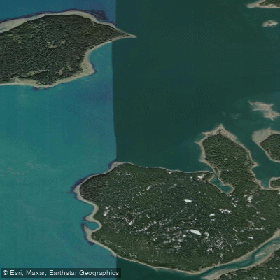
Beardslee Entrance
- Saltwater
- Sea area
- Sq. miles
- 1.5
- Boat Ramps
- 0
- Access Points
- 0
- Campsites
- 1
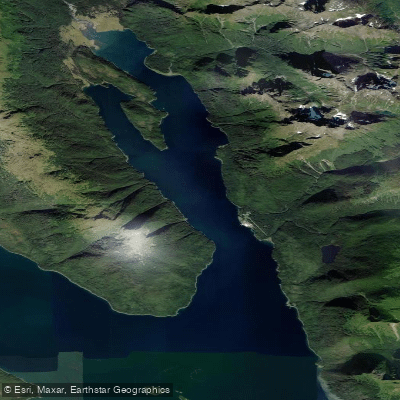
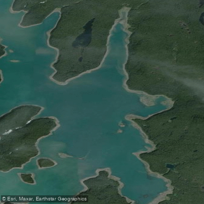
Beardslee Entrance is a significant tidal channel located in Glacier Bay, Alaska, serving as a primary gateway between the lower bay and the interior Beardslee Islands. It is a marine feature with strong, predictable tidal currents that are a critical planning factor for paddlers. The current can be too strong to paddle against, necessitating careful timing to pass through at or near slack water. Specific references indicate paddlers plan to use a "Low-Slack tide" to enter via the Beardslee Entrance. The channel is exposed and subject to the full fetch of Glacier Bay, making wind a potential hazard. Power boats and cruise ships use these waters, with regular traffic noted going up and down the bay, though the Beardslee Entrance itself is closed to cruise ships and tour vessels as a resource protection measure. The area is within Glacier Bay National Park and Preserve, requiring all paddlers to attend a mandatory National Park Service briefing and obtain permits before launching.
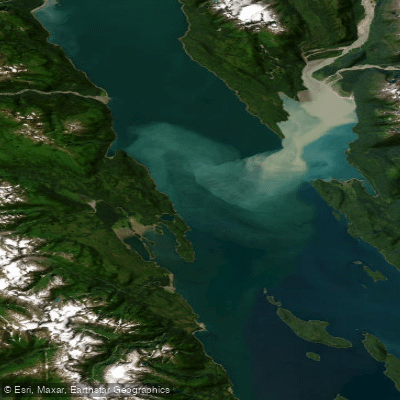
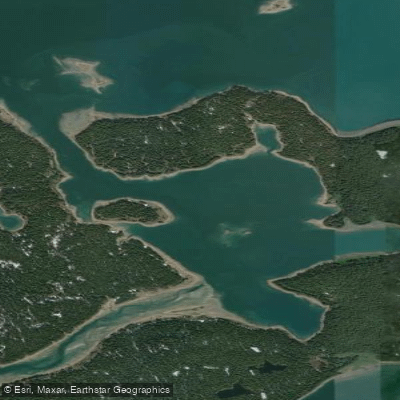
Primary access for paddlers is typically from Bartlett Cove, the park's headquarters, though no specific launch sites within the entrance itself are detailed. A common route involves transiting the entrance to access Secret Bay and the maze of the Beardslee Islands. Strawberry Island is a key landmark at the mouth of the entrance. The bathymetry is complex and continually changing due to glacial isostatic rebound, with the land rising and charts becoming obsolete. Paddlers report their kayaks whispering over barely submerged mussels and barnacles even on a 10-foot high tide, indicating variable and sometimes very shallow conditions. This dynamic landscape means channels and riverlets between islands should be approached with caution and verified by first-hand observation.
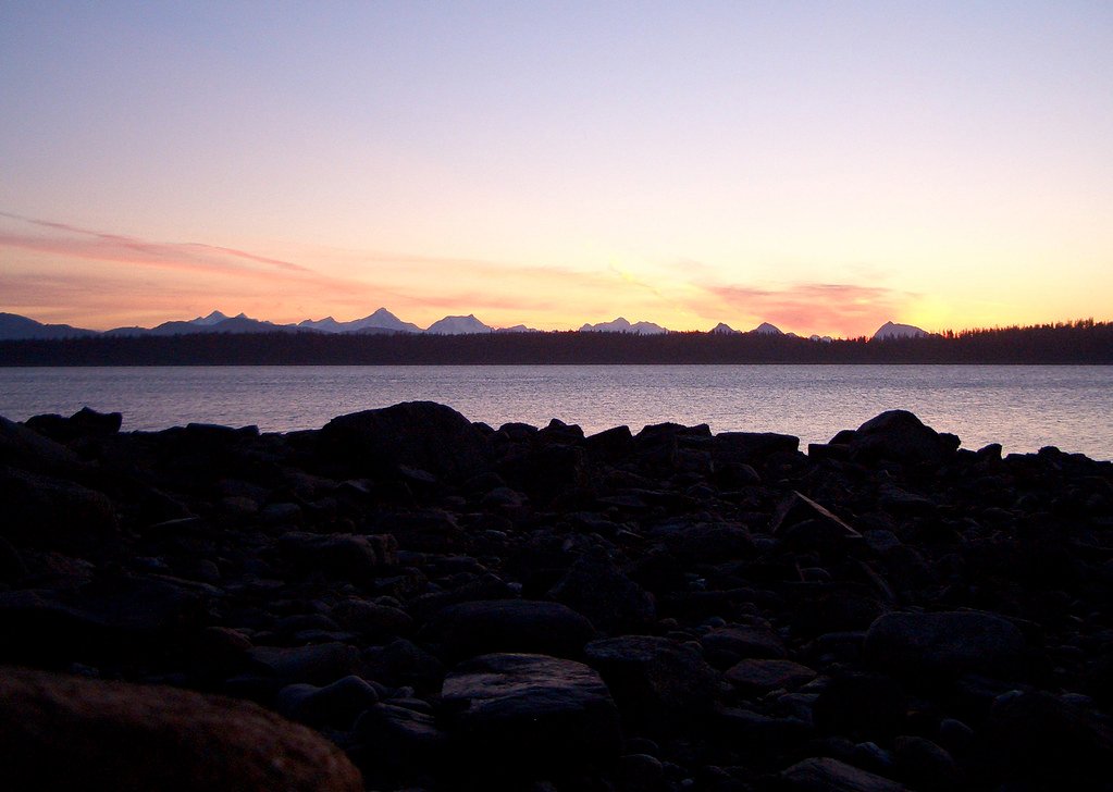
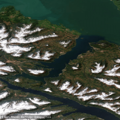
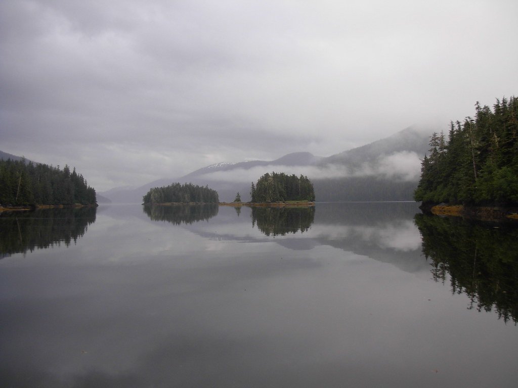
The paddling experience is characterized by stunning, remote wilderness with views of mountains and glaciers. Wildlife encounters are common, including whales, sea lions, and deer on shore. Bear sign, including tracks, is frequently observed on beaches. Camping is available on islands within the complex, such as in Secret Bay or on Strawberry Island, but campers must carry their own water as it is not reliably available at sites. The overall vibe is one of self-reliant exploration in a powerful, pristine, and geologically active environment where meticulous tide and current planning is essential for safe travel.
Water access, boat ramps & amenities
Learn how to get on Beardslee Entrance. Uncover great paddling access points, boat ramps, and all the facilities you need for an unforgettable day on the water. Some locations shown may border or include private property. Always check property boundaries and applicable regulations before visiting. PaddleWays's Public & Private Land layer can help you plan your access with confidence.
Paddle smarter with real-time insights
Whether you're en route and conditions shift or you're looking for the best spot based on current flows, we enable you to make informed decisions on the fly.








Find Places to Paddle

Over 400,000 Places to Paddle
Every user gets free access to launch points, boat ramps, and public property parcels.


Tides, wind & water conditions (10 day forecast)
On open water, wind and tide matter as much as the weather. See the best times to paddle Beardslee Entrance and check the marine forecast before you launch.
Loading tide predictions…
Paddling near Beardslee Entrance
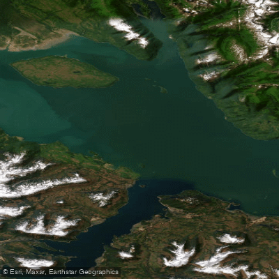
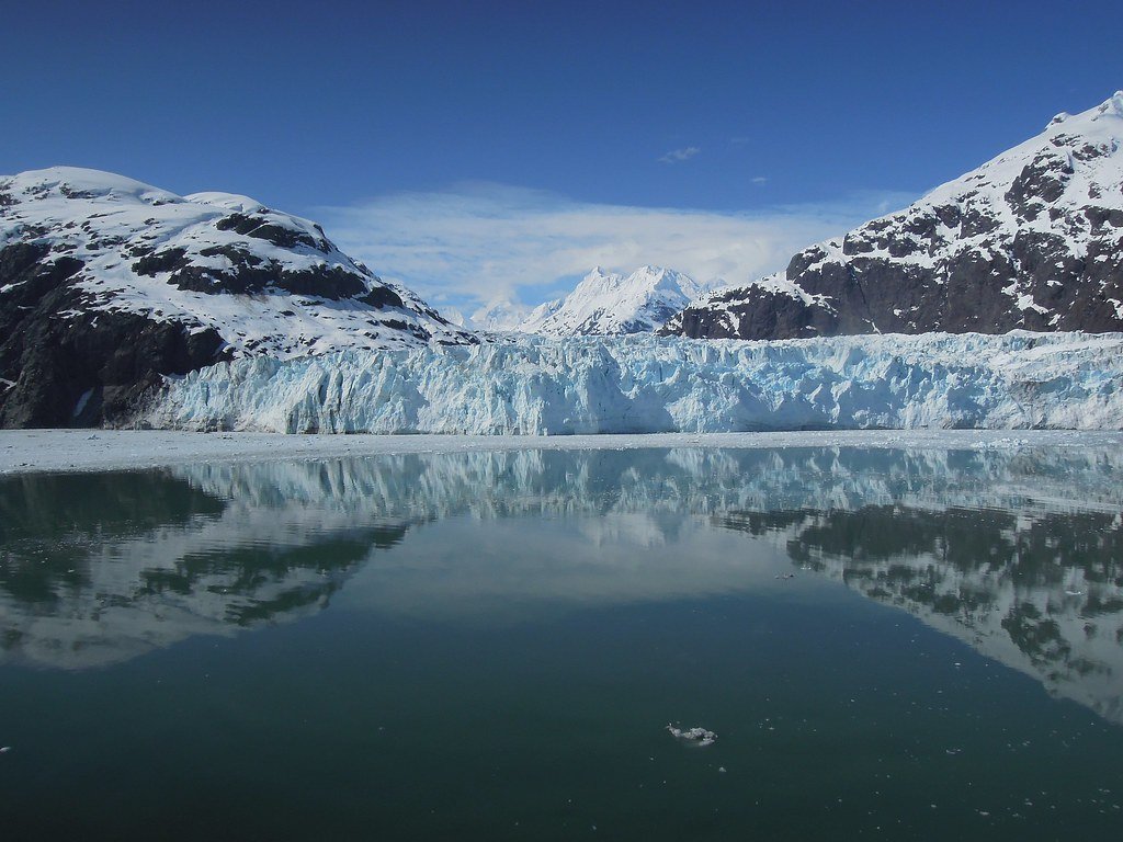
Explore Alaska waters
Top paddling waters
Popular Cities
Loading popular cities...
Explore near Beardslee Entrance

Smarter Paddling Starts in the App.
Paddleways gives you everything you need to plan smarter, paddle better, and own every trip from first launch to takeout.