Hutchins Bay
- Saltwater
- Bay
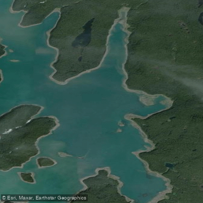
Hutchins Bay
- Saltwater
- Bay
- Sq. miles
- 1.8
- Boat Ramps
- 0
- Access Points
- 0
- Campsites
- 0
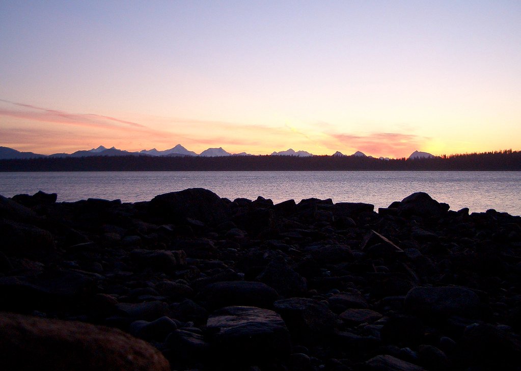
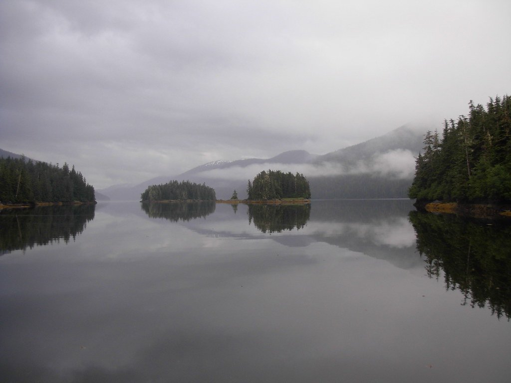
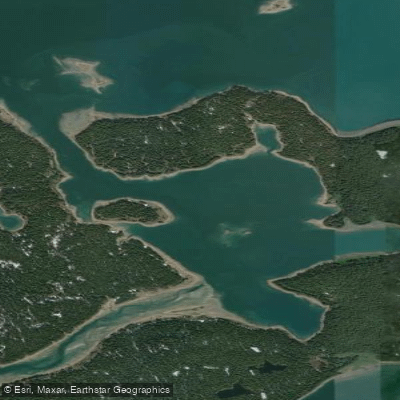
Hutchins Bay is a coastal bay located within the Beardslee Islands complex of Glacier Bay National Park in Alaska. It is a wilderness saltwater environment characterized by its remote and undeveloped nature. There are no formal facilities, launches, or amenities for paddlers; access is via kayak from other areas, with beaches serving as potential landing sites. The bay is part of a federally designated wilderness area, meaning specific backcountry regulations and permits from the National Park Service are required for any paddling or camping trip. Navigation in Glacier Bay is historically noted as not considered safe without local knowledge, and glacial ice is always present in the broader area, representing a significant and constant hazard. Strong currents are known to exist in the surrounding channels, such as between Strawberry and Young Islands, where a vessel was once unable to make forward progress. Tidal ranges are significant, and paddlers must plan their travel around tide stages, with one account specifically mentioning departing the bay in the morning before a low tide. The area is exposed to open water conditions and weather from Glacier Bay proper. Wildlife sightings are a key feature, with multiple accounts of humpback whales surfacing and being observed for extended periods within the bay. The aesthetic is one of raw Alaskan wilderness, with forested islands and the potential for icebergs. The water is cold year-round, typical of a glacially influenced Alaskan fjord system.
Water access, boat ramps & amenities
Learn how to get on Hutchins Bay. Uncover great paddling access points, boat ramps, and all the facilities you need for an unforgettable day on the water. Some locations shown may border or include private property. Always check property boundaries and applicable regulations before visiting. PaddleWays's Public & Private Land layer can help you plan your access with confidence.
Paddle smarter with real-time insights
Whether you're en route and conditions shift or you're looking for the best spot based on current flows, we enable you to make informed decisions on the fly.








Find Places to Paddle

Over 400,000 Places to Paddle
Every user gets free access to launch points, boat ramps, and public property parcels.


Tides, wind & water conditions (10 day forecast)
On open water, wind and tide matter as much as the weather. See the best times to paddle Hutchins Bay and check the marine forecast before you launch.
Loading tide predictions…
Paddling near Hutchins Bay
Explore Alaska waters
Top paddling waters
Popular Cities
Loading popular cities...
Explore near Hutchins Bay

Smarter Paddling Starts in the App.
Paddleways gives you everything you need to plan smarter, paddle better, and own every trip from first launch to takeout.