Port Frederick
- Saltwater
- Bay
Port Frederick
- Saltwater
- Bay
- Sq. miles
- 49
- Boat Ramps
- 0
- Access Points
- 0
- Campsites
- 0
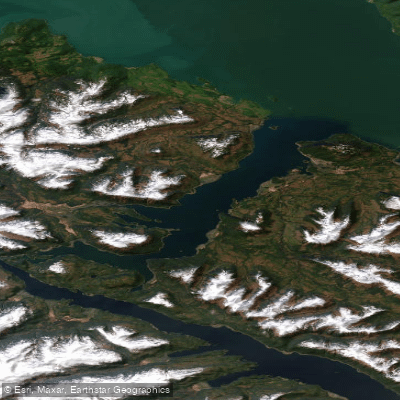
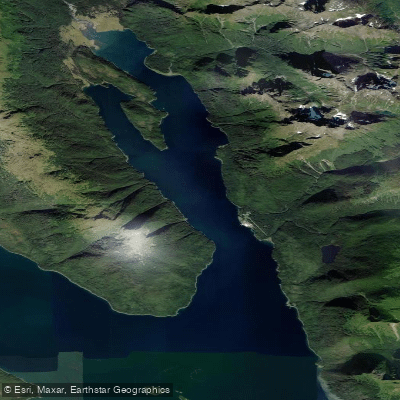
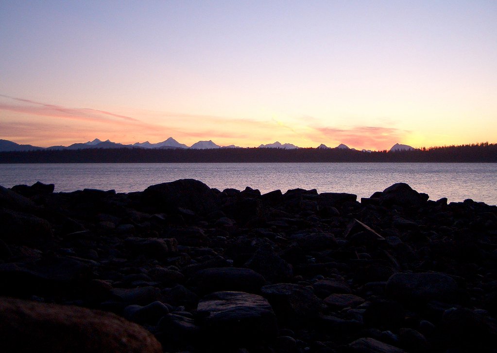
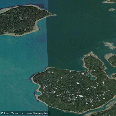
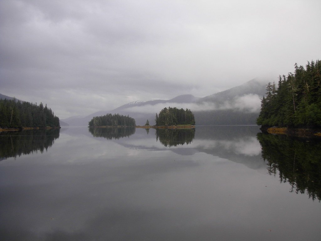
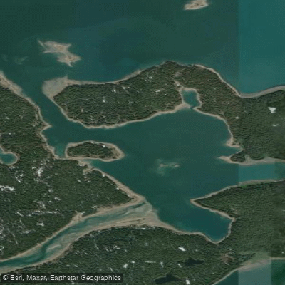
Port Frederick is a large, multi-fingered bay on the northeast coast of Chichagof Island, near Hoonah, Alaska. It provides sheltered, calm waters that are frequently protected and ideal for beginner and intermediate paddlers. This stands in contrast to the surrounding Icy Strait and Chatham Strait, which are noted for powerful tidal surges and strong winds that can overwhelm small craft. The primary public access point for independent paddlers is the Hoonah public boat ramp, which provides parking and direct ocean access to the bay. Guided tours typically launch from the beach at Icy Strait Point or from the George Hall Memorial Harbor in Hoonah. The overall character is one of a tranquil, liquid wilderness with a pastoral setting, offering a water-level perspective of dense kelp forests, forested shorelines, and the distant Fairweather mountain range.
Tidal influence is a key planning factor. Paddlers should time their outings around slack tide for the easiest conditions, as currents are present. While the bay itself is sheltered, paddlers must be fit enough to paddle through small waves and against the current, and a motorized safety boat often accompanies guided groups for this reason. The waters are cold year-round, necessitating appropriate immersion gear. The summer months, specifically June through August, are the best and most practical time to visit. Wildlife sightings are a major highlight and are likely, though not guaranteed. Commonly observed species include bald eagles, harbor seals, sea lions, sea otters, Sitka black-tailed deer, and humpback whales. Brown bears are occasionally seen on the beaches. The area holds historical significance for the Tlingit people, and guides often share knowledge of the local ecosystem and culture. There are no specific paddling restrictions mentioned, but the presence of commercial fishing and whale watching traffic in the broader Icy Strait area warrants caution and awareness.
Water access, boat ramps & amenities
Learn how to get on Port Frederick. Uncover great paddling access points, boat ramps, and all the facilities you need for an unforgettable day on the water. Some locations shown may border or include private property. Always check property boundaries and applicable regulations before visiting. PaddleWays's Public & Private Land layer can help you plan your access with confidence.
Paddle smarter with real-time insights
Whether you're en route and conditions shift or you're looking for the best spot based on current flows, we enable you to make informed decisions on the fly.








Find Places to Paddle

Over 400,000 Places to Paddle
Every user gets free access to launch points, boat ramps, and public property parcels.


Tides, wind & water conditions (10 day forecast)
On open water, wind and tide matter as much as the weather. See the best times to paddle Port Frederick and check the marine forecast before you launch.
Loading tide predictions…
Paddling near Port Frederick
Explore Alaska waters
Top paddling waters
Popular Cities
Loading popular cities...
Explore near Port Frederick

Smarter Paddling Starts in the App.
Paddleways gives you everything you need to plan smarter, paddle better, and own every trip from first launch to takeout.