Icy Strait
- Saltwater
- Strait
Icy Strait
- Saltwater
- Strait
- Sq. miles
- 329
- Boat Ramps
- 0
- Access Points
- 0
- Campsites
- 1
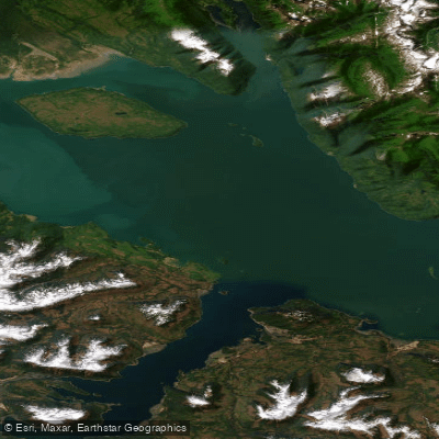
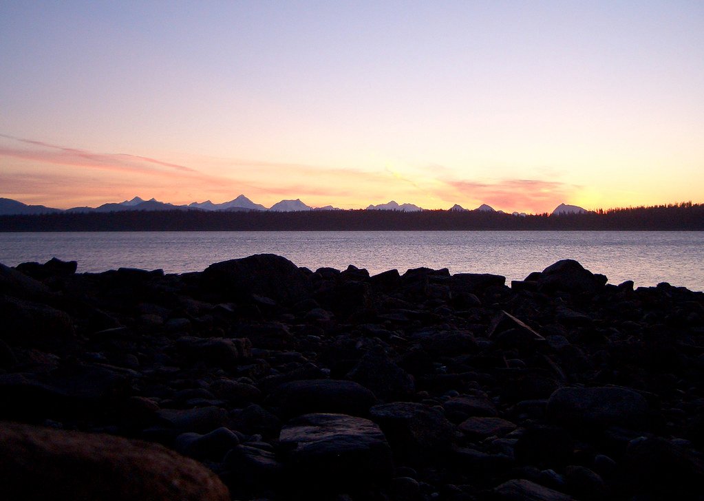
Icy Strait is a large, open coastal strait at the entrance to Glacier Bay in Southeast Alaska, near the town of Hoonah on Chichagof Island. The strait is a major marine corridor with significant tidal influence, open water, and exposure to weather. The primary paddling described in the area focuses on the more sheltered adjacent waters of Port Frederick, a bay off Icy Strait. A key public launch point for paddlers is the Hoonah public boat ramp, which provides ocean access to Port Frederick and Icy Strait. This ramp offers parking and is suitable for sea kayaking and stand-up paddleboarding. Guided tours typically launch from the beach at Icy Strait Point, a cruise port facility, and paddle into the calm waters of Port Frederick. Paddlers should be prepared for conditions that include small waves and currents, with one tour operator noting participants should be fit enough to paddle against the current. The area is known for strong tidal flow, and it is recommended to time paddles around slack tide for the easiest conditions. The water is cold year-round, and paddlers must be equipped for immersion. Wildlife sightings are a major feature, with frequent possibilities of seeing bald eagles, seals, sea lions, and humpback whales. Brown bears are also present along the shorelines. The summer months, specifically June through August, are the best time to visit. The overall experience is one of accessing remote Alaskan wilderness with stunning mountain views, old-growth forests, and a glacier-carved coastline, though the main strait itself presents conditions for experienced paddlers only, while the adjoining Port Frederick offers beginner-friendly, sheltered flatwater.
Water access, boat ramps & amenities
Learn how to get on Icy Strait. Uncover great paddling access points, boat ramps, and all the facilities you need for an unforgettable day on the water. Some locations shown may border or include private property. Always check property boundaries and applicable regulations before visiting. PaddleWays's Public & Private Land layer can help you plan your access with confidence.
Paddle smarter with real-time insights
Whether you're en route and conditions shift or you're looking for the best spot based on current flows, we enable you to make informed decisions on the fly.








Find Places to Paddle

Over 400,000 Places to Paddle
Every user gets free access to launch points, boat ramps, and public property parcels.


Tides, wind & water conditions (10 day forecast)
On open water, wind and tide matter as much as the weather. See the best times to paddle Icy Strait and check the marine forecast before you launch.
Loading tide predictions…
Paddling near Icy Strait
Explore Alaska waters
Top paddling waters
Popular Cities
Loading popular cities...
Explore near Icy Strait

Smarter Paddling Starts in the App.
Paddleways gives you everything you need to plan smarter, paddle better, and own every trip from first launch to takeout.