Lynn Canal
- Saltwater
- Bay
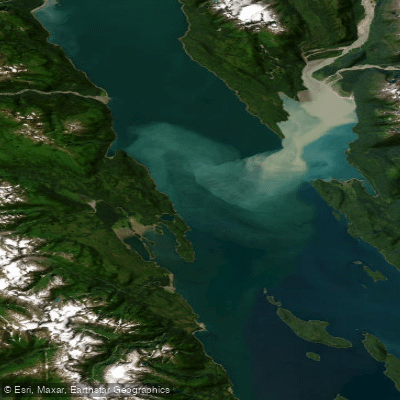
Lynn Canal
- Saltwater
- Bay
- Sq. miles
- 367
- Boat Ramps
- 0
- Access Points
- 0
- Campsites
- 0
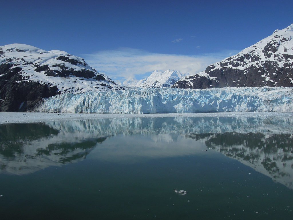
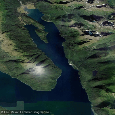
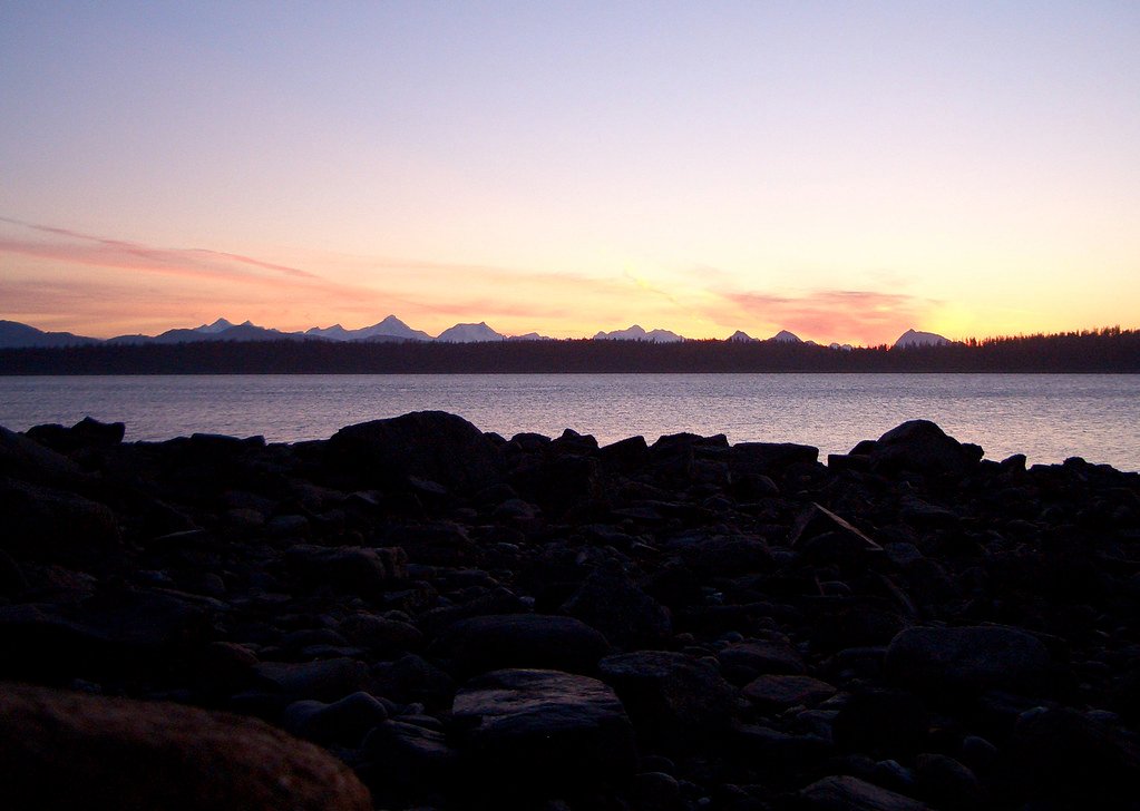
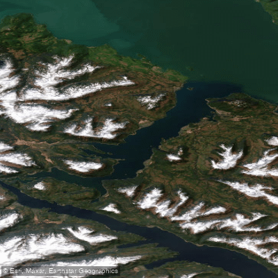
Lynn Canal is a major saltwater fjord in Southeast Alaska, one of the longest and deepest fjords in the world and North America's deepest fjord. It is a significant feature of the Inside Passage, characterized by dramatic scenery with towering, snow-capped mountains rising directly from the sea, creating a channel with long stretches of open water. Primary access points include the towns of Haines and Skagway, as well as locations near Juneau such as Auke Bay. Specific launches are noted at the Skagway Small Boat Harbor, a half-mile walk from the cruise docks, and from coves on the western shore of the Chilkat Peninsula south of Haines. The area around Eagle Beach State Recreation Area, north of Juneau, is also a noted paddling location.
Paddling conditions are heavily influenced by marine weather and tides. The canal is exposed, with potential for swift weather changes, bracing winds, and sudden surges. Currents change with the tides, affecting paddling difficulty and speed, making it crucial to check local tide charts and time launches accordingly. The water is cold year-round. The area offers a wilderness paddling experience with a high likelihood of encountering wildlife. Commonly seen species include bald eagles, harbor seals, Steller sea lions, Dall's porpoises, sea otters, and humpback and orca whales. On shore, bears and moose may be observed. Glaciers, such as the Rainbow and Davidson glaciers, are visible from the water.
The best season for paddling is from April through September, with guided tours typically operating from May to September. No prior kayaking experience is required for many guided outings, which use stable tandem kayaks. The area is suitable for both beginners and experts, though its remote stretches and potential for challenging conditions necessitate proper preparation, including informing someone of your itinerary. Facilities are centered in the gateway towns, which offer gear rentals, guided tours, and marina services. Day trips often launch from Haines or Skagway, exploring the shorelines of the Chilkat Peninsula, Chilkat State Park, or the historic Dyea Flats. Multi-day expeditions can traverse the fjord, utilizing sandy beaches and cobblestone shores for camping, with routes potentially covering 5 to 15 miles per day.
Water access, boat ramps & amenities
Learn how to get on Lynn Canal. Uncover great paddling access points, boat ramps, and all the facilities you need for an unforgettable day on the water. Some locations shown may border or include private property. Always check property boundaries and applicable regulations before visiting. PaddleWays's Public & Private Land layer can help you plan your access with confidence.
Paddle smarter with real-time insights
Whether you're en route and conditions shift or you're looking for the best spot based on current flows, we enable you to make informed decisions on the fly.








Find Places to Paddle

Over 400,000 Places to Paddle
Every user gets free access to launch points, boat ramps, and public property parcels.


Tides, wind & water conditions (10 day forecast)
On open water, wind and tide matter as much as the weather. See the best times to paddle Lynn Canal and check the marine forecast before you launch.
Loading tide predictions…
Paddling near Lynn Canal
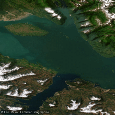
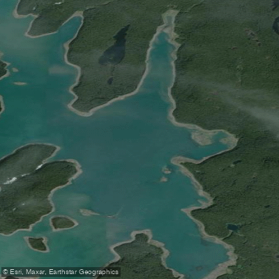
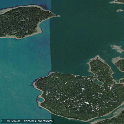
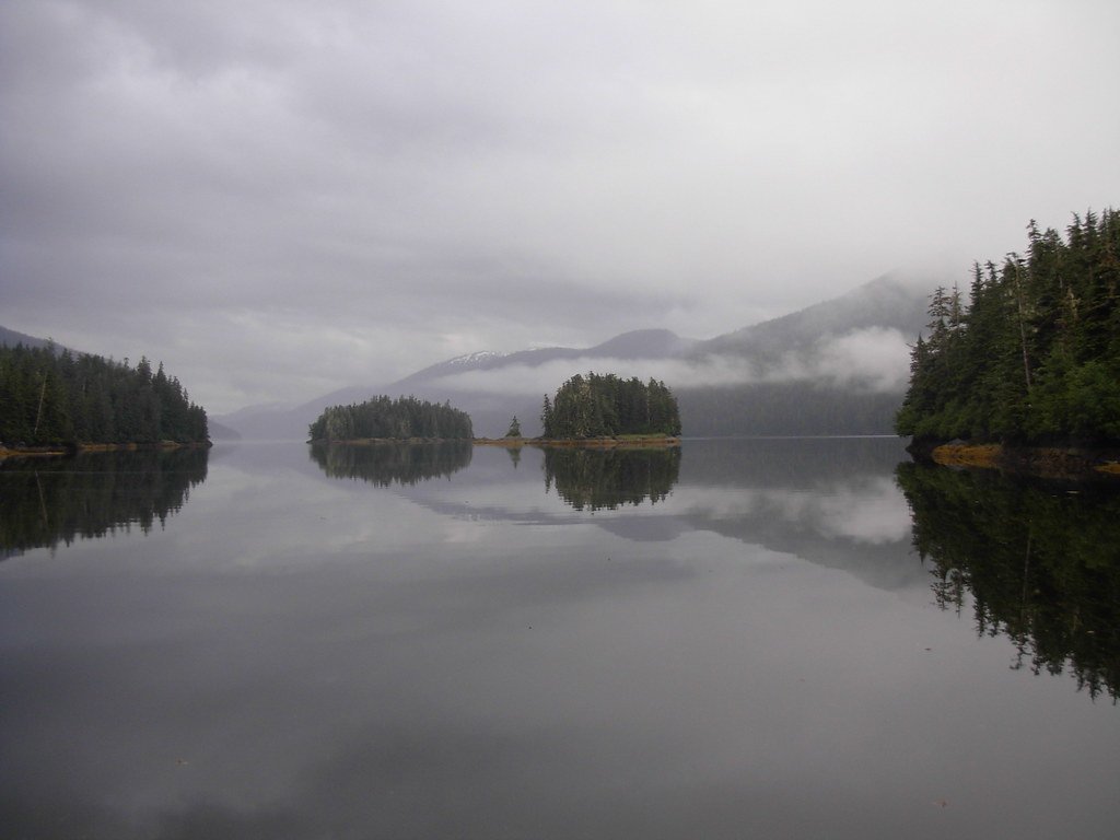
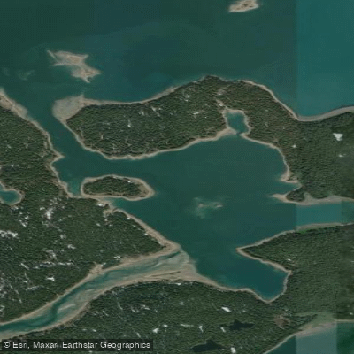
Explore Alaska waters
Top paddling waters
Popular Cities
Loading popular cities...
Explore near Lynn Canal

Smarter Paddling Starts in the App.
Paddleways gives you everything you need to plan smarter, paddle better, and own every trip from first launch to takeout.