Paddling near Glendale, AZ
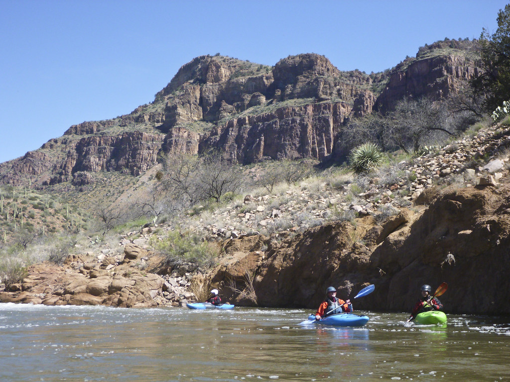
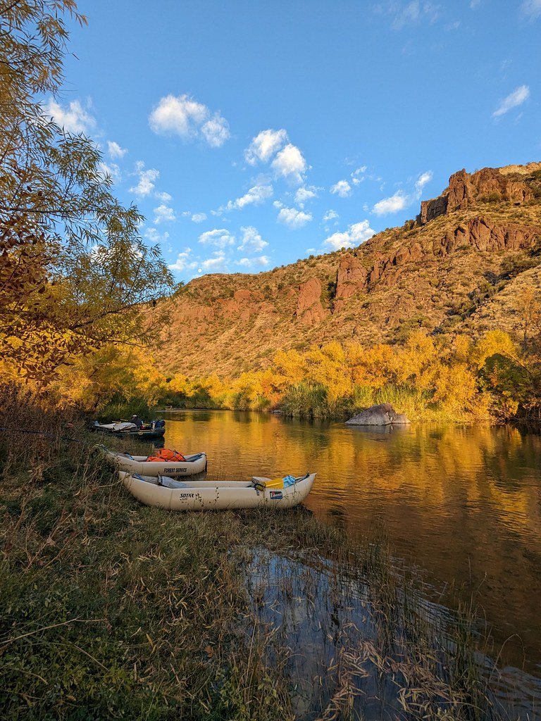
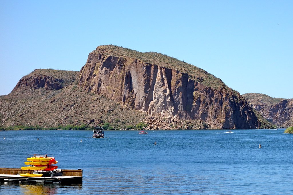
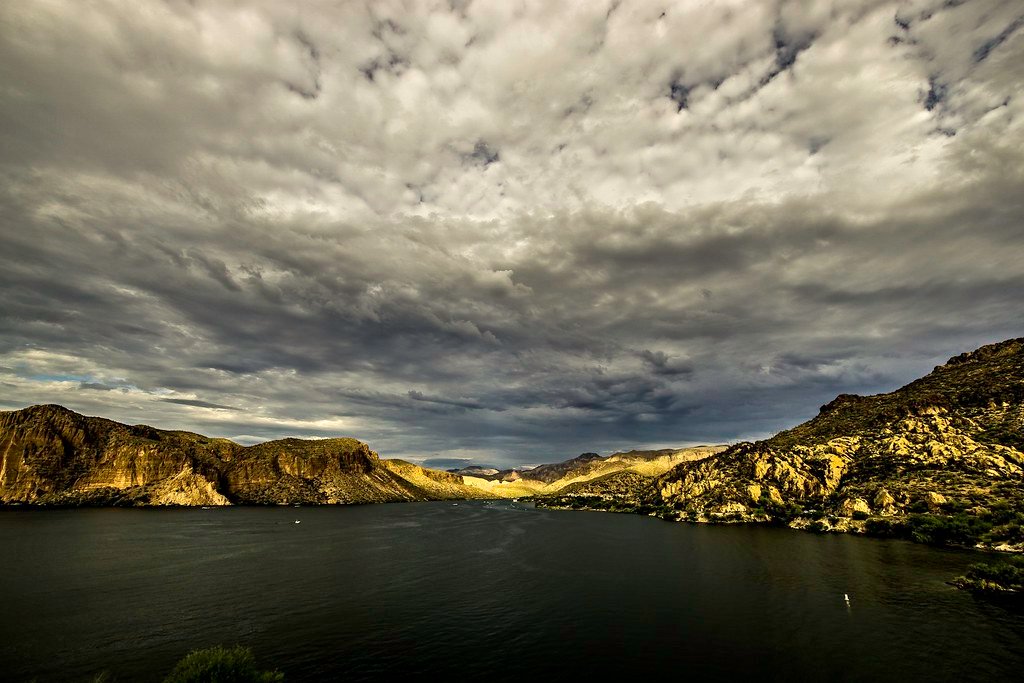
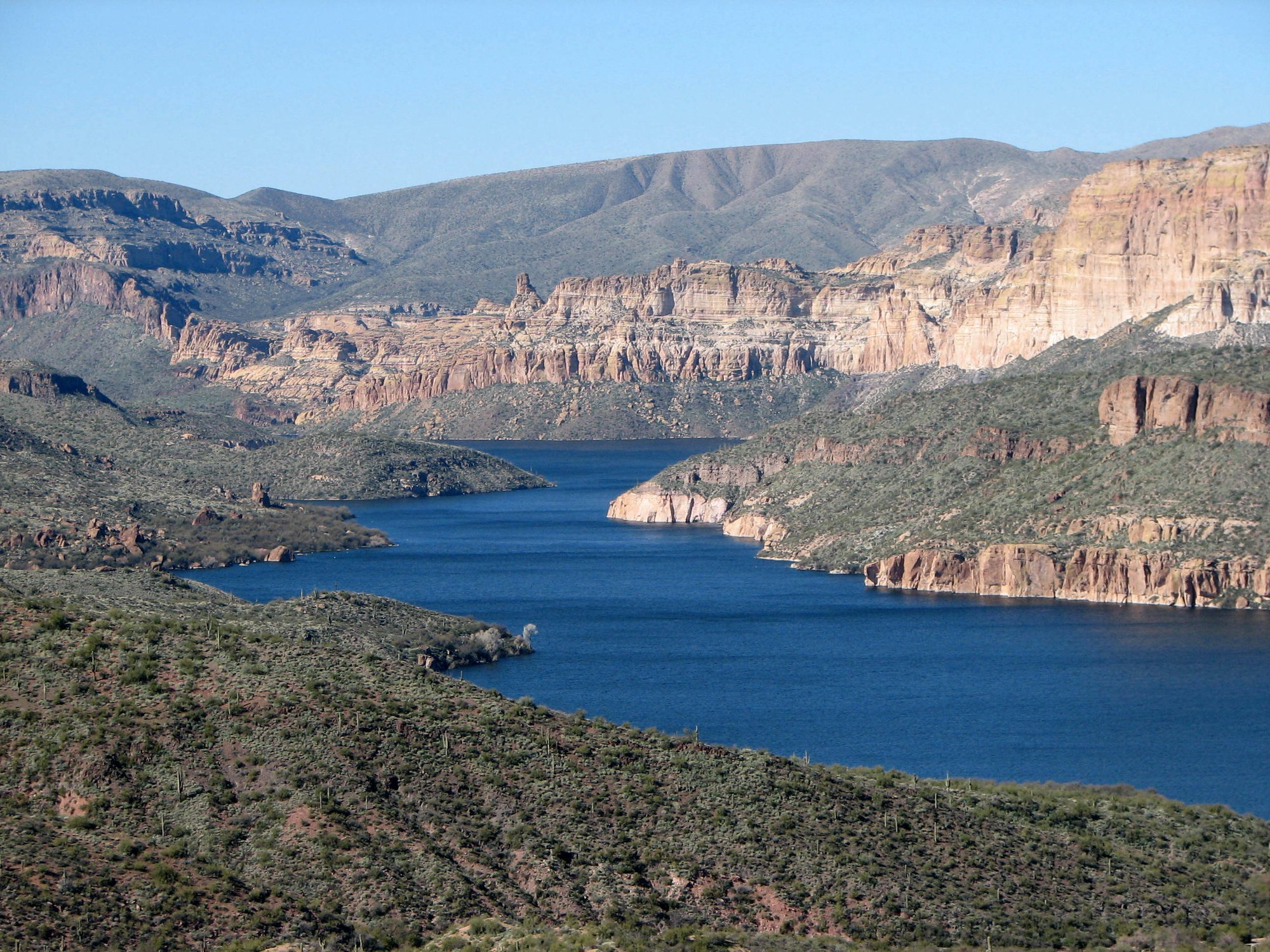
Of the West Valley cities in Maricopa County, Glendale sits closest to Lake Pleasant, a 10,000-acre Central Arizona Project reservoir roughly 30 minutes north with slot canyons on its northeast arm and 116 miles of shoreline. East of town, the Salt River chain — Saguaro, Canyon, Apache — and the Lower Salt River float corridor through Tonto National Forest open up canyon-wall coves and easy moving water, while the Verde River and Bartlett Reservoir round out the options.
Paddle smarter with real-time insights
Whether you're en route and conditions shift or you're looking for the best spot based on current flows, we enable you to make informed decisions on the fly.







Arizona licenses and regulations
Explore Glendale
Top paddling waters
Loading top waters...
Popular Cities
Loading popular cities...

Smarter Paddling Starts in the App.
Paddleways gives you everything you need to plan smarter, paddle better, and own every trip from first launch to takeout.