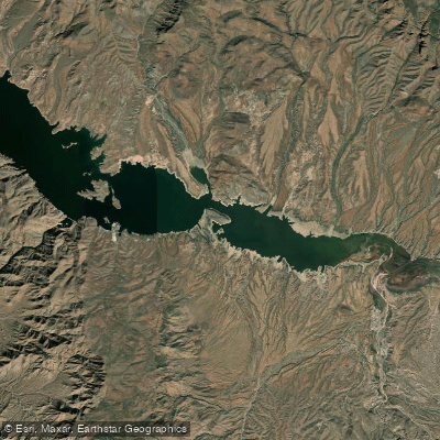
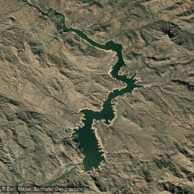
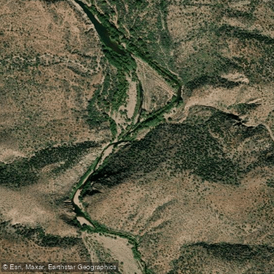
The Salt River in Arizona is a diverse waterway offering a range of paddling experiences, from thrilling whitewater adventures to serene flatwater floats. The river begins in the White Mountains of eastern Arizona and flows westward, eventually joining the Gila River southwest of Phoenix.
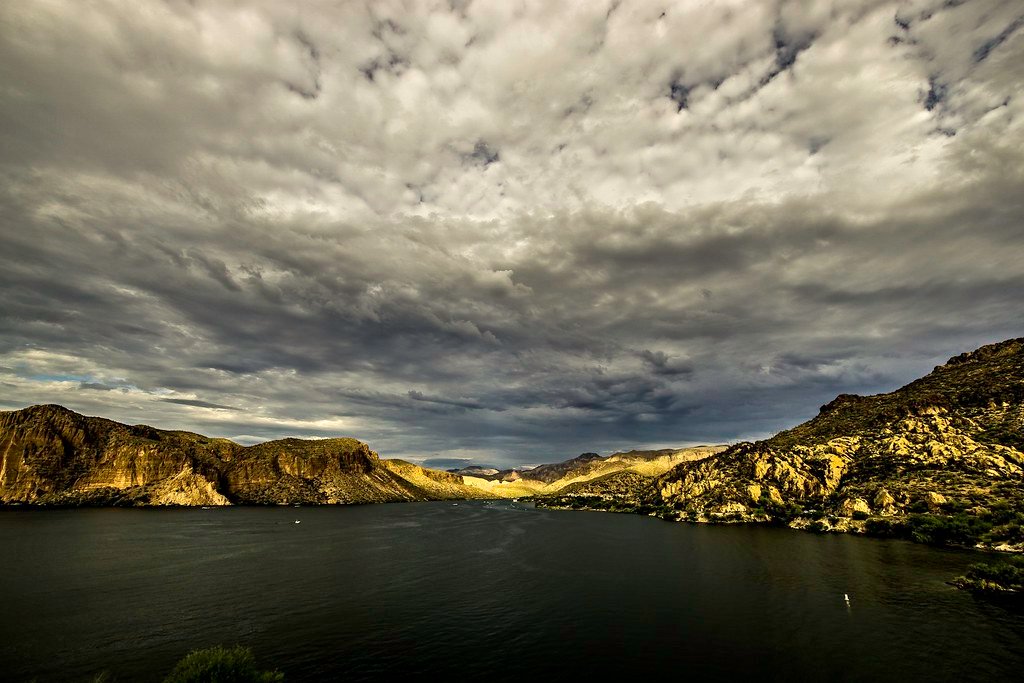
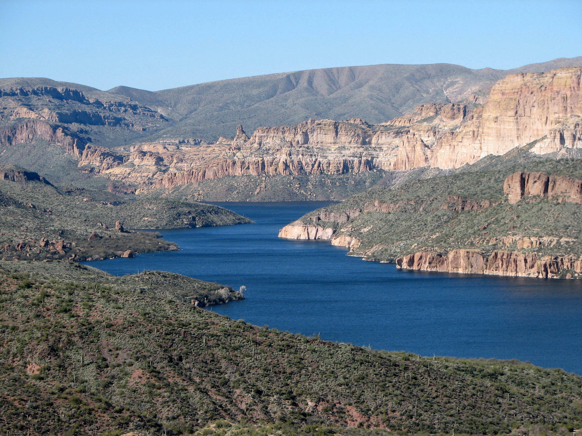
The Upper Salt River, running from the US Highway 60 Bridge to State Highway 288, provides an exhilarating 52-mile wilderness journey through the Salt River Canyon. This section, often called "Arizona's other Grand Canyon," features Class III to IV rapids, making it suitable only for experienced paddlers. The rugged landscape of the Salt River Canyon Wilderness, with elevations ranging from 2,200 to 4,200 feet, creates a dramatic backdrop for multi-day trips.
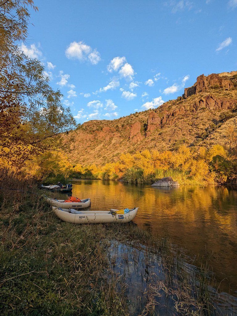
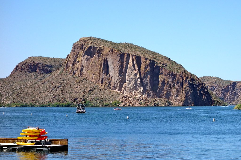
In contrast, the Lower Salt River, stretching from Stewart Mountain Dam to Granite Reef Dam, offers a more relaxed 14-mile paddle suitable for beginners and families. This section is characterized by gentle currents, stunning desert scenery, and abundant wildlife, including the famous Salt River wild horses.
The best time to paddle the Upper Salt is typically from March to May, when snowmelt from the White Mountains provides sufficient water levels. The Lower Salt, being dam-controlled, can be enjoyed year-round, though early mornings are recommended during the hot summer months to avoid crowds and intense heat.
Along the river, paddlers can expect to see a variety of desert flora, including saguaro cacti and cottonwood trees. Wildlife sightings may include bald eagles, great blue herons, and the aforementioned wild horses on the lower section.
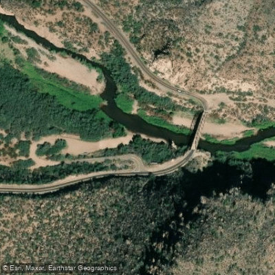
Notable landmarks include the Salt River Canyon Bridge on Highway 60, the confluence with the Verde River on the lower section, and the Granite Reef Dam, which marks the end of the navigable portion of the Lower Salt.
Access to the Upper Salt is primarily through the Fort Apache Indian Reservation and the Tonto National Forest, with nearby towns including Globe and Show Low. The Lower Salt is easily accessible from the Phoenix metropolitan area, making it a popular destination for both locals and tourists.
Safety considerations are paramount, especially on the Upper Salt, where remote wilderness and challenging rapids demand proper equipment and experience. Permits are required for both sections: a lottery-based permit from the U.S. Forest Service for the Salt River Canyon Wilderness portion, and a day-use permit from the White Mountain Apache Tribe for the first 29 miles of the Upper Salt.
For those seeking a multi-day adventure, the Upper Salt offers a remarkable 4-5 day trip through pristine wilderness, allowing paddlers to fully immerse themselves in the rugged beauty of the Arizona backcountry. This journey provides a unique opportunity to experience the historical and cultural significance of the region, which has been home to Native American tribes for centuries.
Whether you're seeking an adrenaline-pumping whitewater expedition or a peaceful desert float, the Salt River offers a paddling experience that captures the essence of Arizona's diverse and captivating landscape.