Bartlett Reservoir
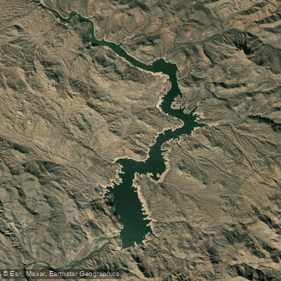
Bartlett Reservoir
- Boat Ramps
- 2
- Access Points
- 3
- Campsites
- 4
Bartlett Reservoir is a popular paddling destination located in Arizona's Tonto National Forest, about 50 miles northeast of Phoenix. The lake offers exceptional views of the golden Vermillion Cliffs and is known for its calm waters and picturesque desert surroundings.
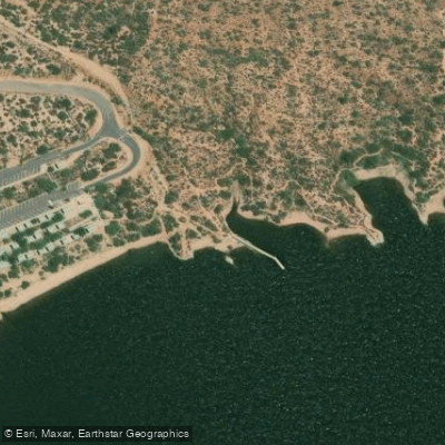
Several access points are available for paddlers. The main put-in is at Bartlett Lake Marina, which has a boat ramp and parking area. Other launch sites include Rattlesnake Cove, featuring shaded ramadas and a tiered parking lot, and Snakebite Cove, which allows direct water access. Bartlett Flat provides beach-like conditions suitable for extended stays.
Wildlife viewing opportunities abound, with the possibility of spotting bald eagles teaching their young to fly in this protected area. The lake is surrounded by saguaro cacti and unique rock formations, creating a quintessential Sonoran Desert landscape.
For paddlers seeking variety, the north end of the lake serpentines up the Verde River towards Horseshoe Reservoir. The east side of the lake offers numerous spots to rest and enjoy the shade of saguaros.
Safety considerations include checking wind conditions at the sheriff's station before launching. Kneeling or sitting is recommended during windy periods. A Tonto National Forest pass is required for lake access.
The ideal paddling season is from late spring to early fall when weather conditions are most comfortable. Sunsets are particularly spectacular, with the cliffs providing a dramatic backdrop.
Facilities include a general store at the marina for supplies. The Jojoba Trail offers hiking opportunities along the lakeshore for those wanting to combine paddling with land-based exploration.
Bartlett Reservoir is the second-largest lake in the Phoenix metro area, providing ample space for paddlers to explore coves and coastlines. Its desert setting and accessibility make it a favored destination for stand-up paddleboarding, kayaking, and canoeing enthusiasts.
Water access, boat ramps & amenities
Learn how to get on Bartlett Reservoir. Uncover great paddling access points, boat ramps, and all the facilities you need for an unforgettable day on the water. Some locations shown may border or include private property. Always check property boundaries and applicable regulations before visiting. PaddleWays's Public & Private Land layer can help you plan your access with confidence.
Paddle smarter with real-time insights
Whether you're en route and conditions shift or you're looking for the best spot based on current flows, we enable you to make informed decisions on the fly.








Find Places to Paddle

Over 400,000 Places to Paddle
Every user gets free access to launch points, boat ramps, and public property parcels.


Water and weather conditions (10 day forecast)
See the best times to paddle Bartlett Reservoir and check the forecast before you go.
BARTLETT RESERVOIR AT BARTLETT DAM, AZ
Paddling near Bartlett Reservoir
Salt River
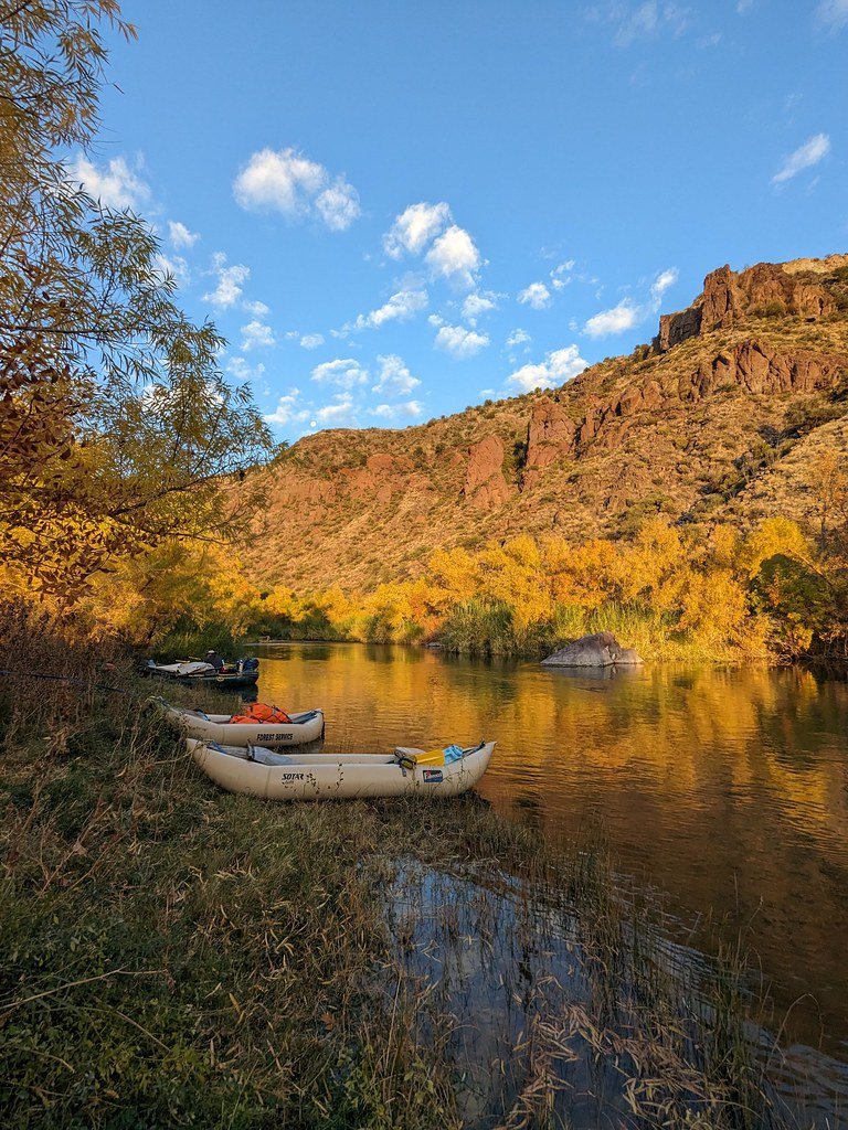
Verde River
Agua Fria River
Saguaro Lake
Canyon Lake
Apache Lake
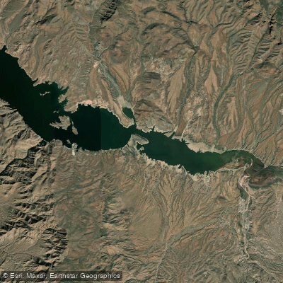
Theodore Roosevelt Lake
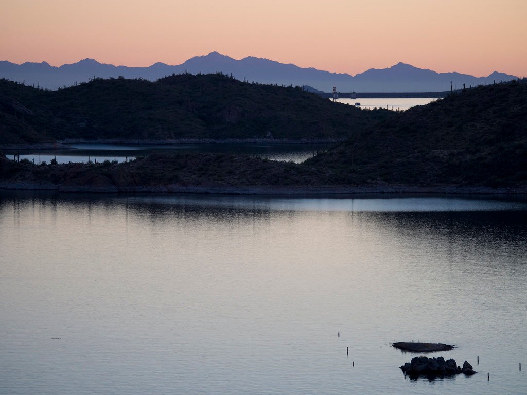
Lake Pleasant
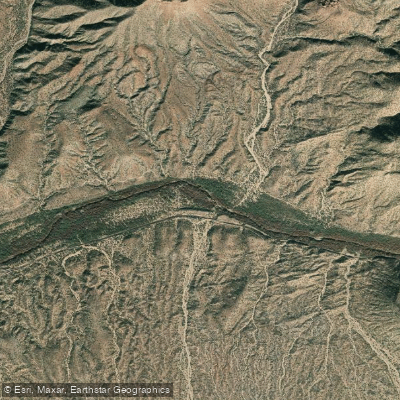
Gila River
Explore Arizona waters
Top paddling waters
Popular Cities
Loading popular cities...
Explore near Bartlett Reservoir
Access points
Nearby waters
More in Arizona

Smarter Paddling Starts in the App.
Paddleways gives you everything you need to plan smarter, paddle better, and own every trip from first launch to takeout.