Curated by PaddleWays
RouteClass III
- Distance
- 1.8 mi
- Paddle time
- ~0.5 hrs
- Best for
- Experienced paddlers
- Put-in → take-out
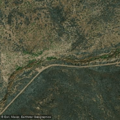
- Put In → Tonto Bench Fossil Creek Access
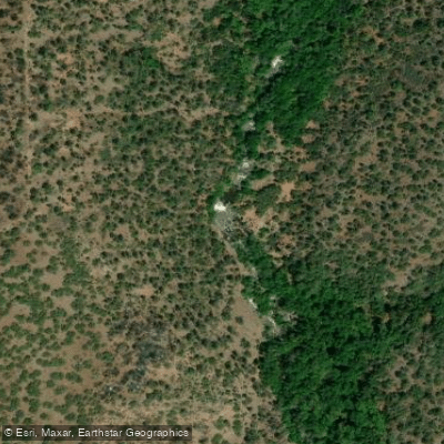
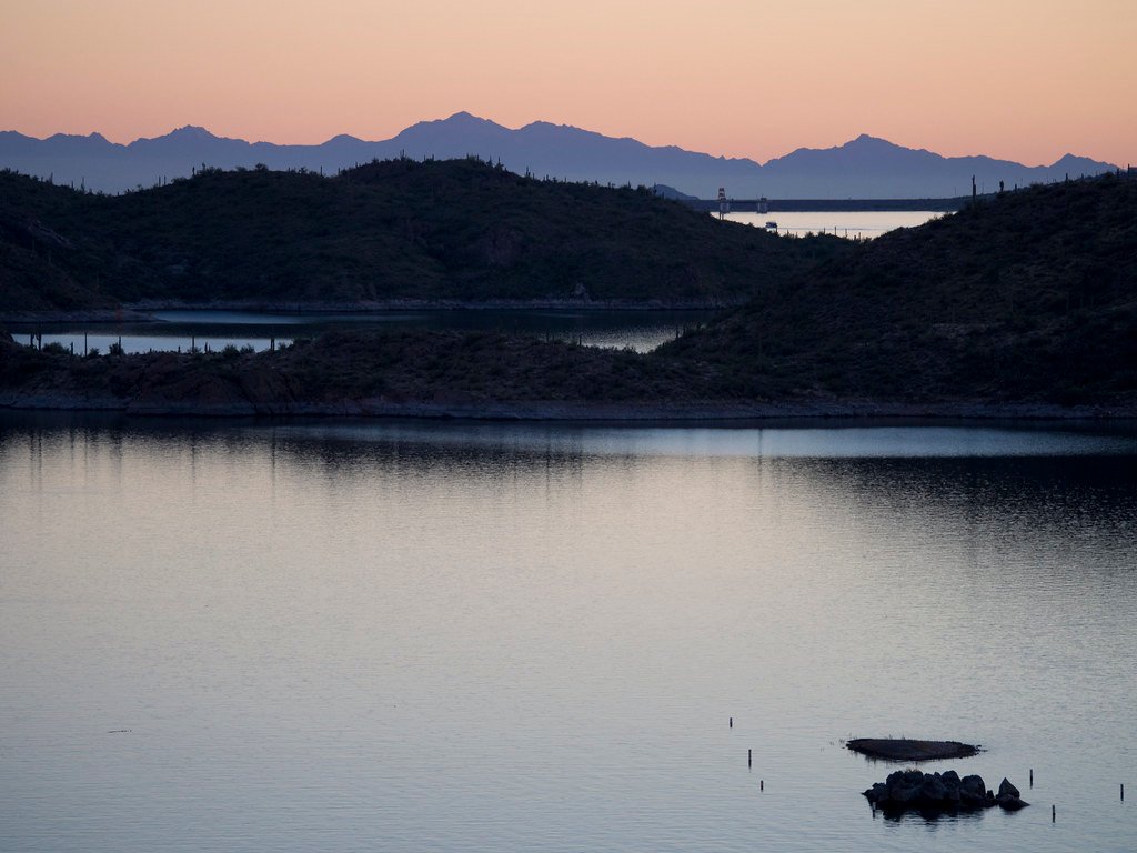
Waterfall at the put-in
Fossil Creek is a unique and pristine waterway in central Arizona, originating from a series of springs near the Mogollon Rim. This spring-fed creek flows south-southwest for approximately 17 miles before joining the Verde River. As one of only two Wild and Scenic Rivers in Arizona, Fossil Creek boasts crystal-clear waters and a remarkable travertine geology, creating a series of stunning pools and waterfalls along its course.
The creek offers two distinct paddling sections: the challenging Upper Fossil Creek and the more accessible Classic Section. The Upper section, beginning near the headwaters, requires a strenuous 4-mile hike on the Bob Bear Trail to access. This remote run features Class III-IV rapids and demands advanced whitewater skills. The Classic Section, also known as Lower Fossil Creek, provides a more moderate Class II-III experience, popular among packrafters and kayakers.
Fossil Creek's flow is relatively consistent year-round due to its spring-fed nature, but paddling opportunities are best from late fall through early spring. During the high-use season (April 1 to October 1), a permit system is in place to manage visitation and protect the fragile ecosystem.
The creek's environment is a lush oasis in the desert, supporting a diverse array of flora and fauna. The area is home to native fish species, including the threatened Gila topminnow, as well as numerous bird species and mammals like javelina and black bears.
Key landmarks include the Old Fossil Creek Dam site, which was decommissioned in the early 2000s to restore the creek's natural flow, and the iconic waterfalls that dot the creek's course. The Fossil Springs, where the creek originates, is a particular point of interest, gushing over 20,000 gallons of water per minute from the ground.
Access to Fossil Creek is primarily through two routes: from Strawberry, Arizona, to reach the upper sections, or from Camp Verde for the lower areas. The nearest major city is Payson, about 30 miles to the northeast.
Historically, the area was home to Apache and Yavapai tribes. In the early 20th century, it was the site of one of the first hydroelectric plants in Arizona, which operated until 2005. The creek's restoration and subsequent Wild and Scenic designation in 2009 marked a significant conservation victory.
Safety considerations are paramount when paddling Fossil Creek. The remote nature of the upper section and the potential for flash floods during monsoon season (typically July through September) require careful planning and awareness. Paddlers must adhere to all regulations, including the permit system, to help preserve this extraordinary waterway for future generations.
Curated routes
Hand-picked by the PaddleWays team, with put-ins, take-outs, paddle times and the hazards along the way.
RouteClass III
Hazards
No hazards are marked on Fossil Creek yet. That is not the same as none being there: if you find one, report it for the next paddler.
From the community
Nobody has shared a trip on Fossil Creek yet. Paddle it, then tell the next paddler how it went.
See exactly where the public can get on and off the river. Launch points and boat ramps are paired with PaddleWays' public land data so you know where you can legally land.
Public shoreline
100%of the river's shoreline is public
Flows, weather and a route-by-route verdict, so you know which stretch of the Fossil Creek is worth paddling today.
Live flows, marked hazards and fresh trip reports from paddlers who were just on the water, all in one place.





Every user gets free access to launch points, boat ramps, and public property parcels.
What you need to float or boat Fossil Creek, and when to apply.
Reservation permit · All boaters · Required Apr 1 to Oct 1
Every vehicle visiting Fossil Creek from Apr 1 to Oct 1 needs a permit for one of its parking lots.
Checked Nov 4, 2026 with Coconino National Forest
Loading popular cities...
PaddleWays gives you everything you need to plan smarter, paddle better, and own every trip from first launch to takeout.