West Clear Creek
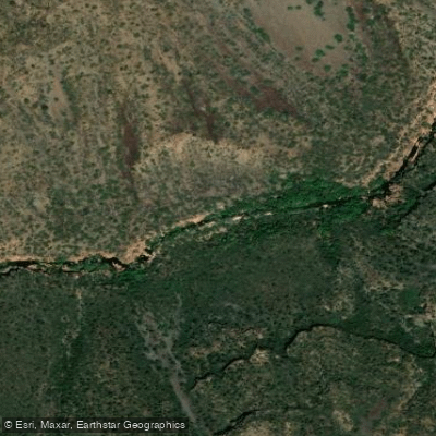
West Clear Creek
- Boat Ramps
- 0
- Access Points
- 1
- Campsites
- 4
West Clear Creek is a picturesque tributary of the Verde River in central Arizona, originating in the Mogollon Rim and flowing westward through rugged canyons before joining the Verde River near Camp Verde. This spring-fed stream carves its way through the Coconino National Forest, creating a lush riparian corridor in the arid landscape.
Paddling opportunities on West Clear Creek are limited due to its narrow, canyon-bound nature. However, the creek's confluence with the Verde River marks the beginning of popular kayaking routes. The White Bridge to Clear Creek Crossing section offers a gentle introduction to Verde Valley paddling, suitable for all skill levels. This flatwater stretch provides scenic views and a peaceful experience, with the put-in located at the White Bridge River Access Point where Highway 260 crosses the Verde.
For a longer adventure, paddlers can continue from White Bridge to Beasley Flat, a 10.2-mile section of the Verde River that incorporates West Clear Creek's inflow. This Class II run is part of the Verde River Paddle Trail system, offering more varied conditions and scenic diversity. At mile 47, West Clear Creek enters on river left, creating a rocky riffle and, during low flows, spreading across a wide alluvial fan.
The best paddling times are typically spring and fall when water levels are most favorable. Summer can be extremely hot, while winter may bring cold temperatures and occasional high water events.
The riparian ecosystem supports a rich array of wildlife, including river otters, bald eagles, and various fish species. The surrounding landscape features sycamore and cottonwood trees, as well as desert flora adapted to the arid climate.
Key landmarks include the White Bridge River Access Point and Clear Creek Crossing. Nearby points of interest encompass Montezuma Castle National Monument and the Verde Valley Archaeology Center, reflecting the area's rich Native American heritage. Access is primarily through Camp Verde, the nearest town, which serves as a hub for Verde Valley paddling adventures.
Visitors should be aware of potential flash floods, especially during monsoon season, and always check current water conditions before embarking on a trip.
For those seeking a multi-day experience, the Verde River Paddle Trail offers opportunities to combine sections, with primitive camping available at designated sites along the river. Paddlers should respect private property boundaries and adhere to Leave No Trace principles in this sensitive desert ecosystem.
Water access, boat ramps & amenities
Learn how to get on West Clear Creek. Uncover great paddling access points, boat ramps, and all the facilities you need for an unforgettable day on the water. Some locations shown may border or include private property. Always check property boundaries and applicable regulations before visiting. PaddleWays's Public & Private Land layer can help you plan your access with confidence.
Paddle smarter with real-time insights
Whether you're en route and conditions shift or you're looking for the best spot based on current flows, we enable you to make informed decisions on the fly.








Find Places to Paddle

Over 400,000 Places to Paddle
Every user gets free access to launch points, boat ramps, and public property parcels.


Water and weather conditions (10 day forecast)
See the best times to paddle West Clear Creek and check the forecast before you go.
WEST CLEAR CREEK NEAR CAMP VERDE, AZ
Paddling near West Clear Creek
Agua Fria River
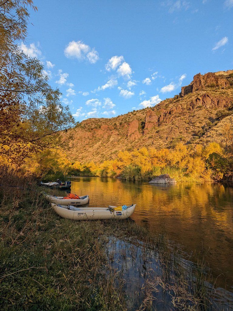
Verde River
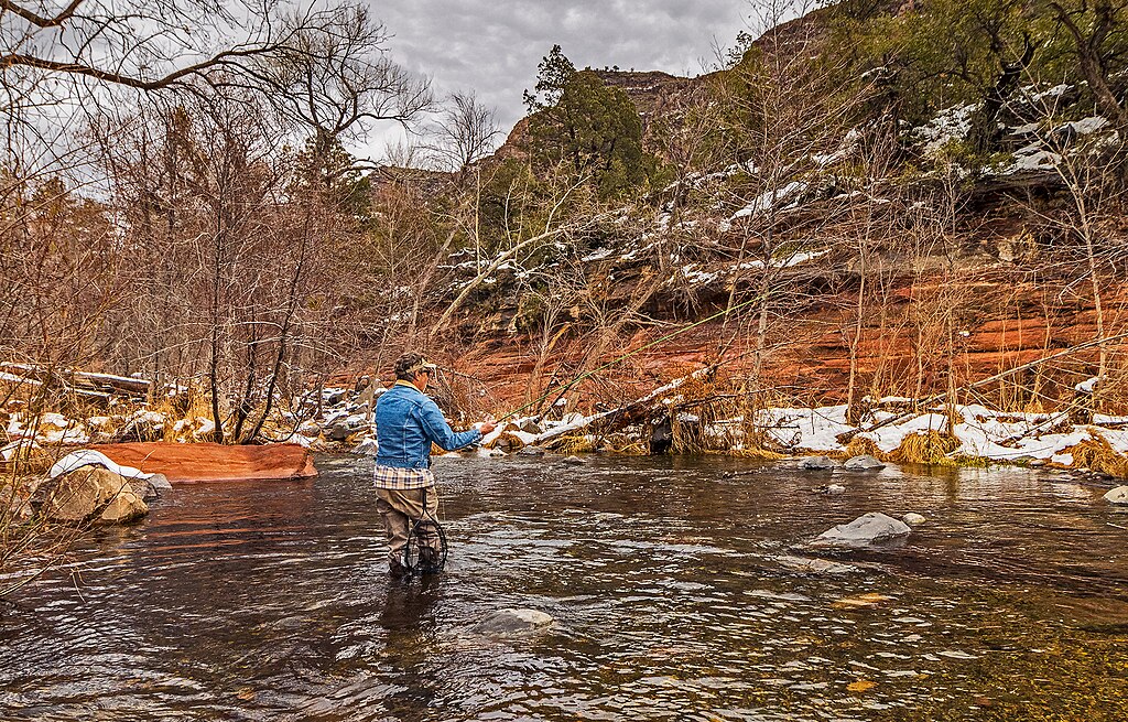
Oak Creek
Watson Lake
Willow Creek Reservoir
Lynx Creek
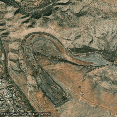
Pecks Lake
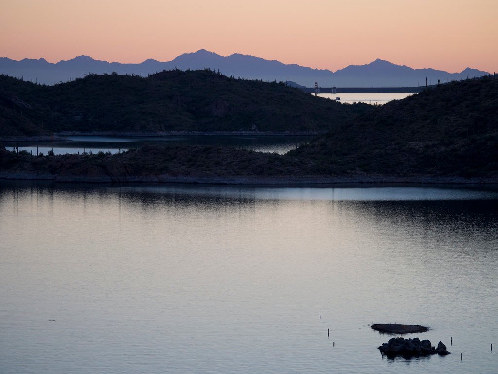
Lake Pleasant
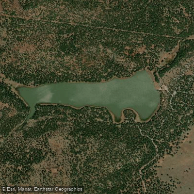
Dogtown Reservoir
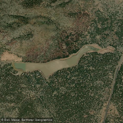
Kaibab Lake
Explore Arizona waters
Top paddling waters
Popular Cities
Loading popular cities...
Explore near West Clear Creek
Access points
Nearby waters
More in Arizona

Smarter Paddling Starts in the App.
Paddleways gives you everything you need to plan smarter, paddle better, and own every trip from first launch to takeout.