Lake Greeson
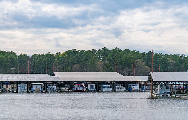
Lake Greeson
- Boat Ramps
- 12
- Access Points
- 14
- Campsites
- 18
Lake Greeson is a 7,260-acre reservoir located in southwest Arkansas, formed by the Narrows Dam on the Little Missouri River. The lake offers diverse paddling opportunities, from calm waters to more challenging sections near the dam.
Access points include the Riverside Picnic area just below Narrows Dam, as well as several public access points along the first 10 miles of the Little Missouri River below the dam. The Star of the West recreation area, managed by the Army Corps of Engineers, provides camping and boat launch facilities.
Paddlers should be aware that water levels and currents can change rapidly when the dam is generating power. A siren sounds when water releases begin. It's critical to check the Southwest Electric Power website for dam generation schedules before paddling, though schedules may not always be precise.
The upper section of the Little Missouri below the dam features class II-III rapids at higher flows, with large waves and fast-moving water. This section is not recommended for beginners. The lower section becomes calmer, transitioning to more of a lazy river float.
Hazards include strainers and log jams leftover from past flooding events. Paddlers should be prepared to scout and portage around obstacles. The banks can be steep and overgrown, making exits challenging in some areas.
Wildlife viewing opportunities include bald eagles in winter months. The surrounding Ouachita National Forest provides a scenic backdrop of pine and hardwood forests.
Kirby Landing Campground on Lake Greeson offers over 100 campsites with electrical hookups, as well as amenities like showers, a swim beach, and boat ramp. Several marinas around the lake provide rentals and supplies.
The best paddling season is typically spring through fall, though dam releases can extend opportunities year-round. Water temperatures and quality can vary significantly based on dam operations and seasonal patterns.
Water access, boat ramps & amenities
Learn how to get on Lake Greeson. Uncover great paddling access points, boat ramps, and all the facilities you need for an unforgettable day on the water. Some locations shown may border or include private property. Always check property boundaries and applicable regulations before visiting. PaddleWays's Public & Private Land layer can help you plan your access with confidence.
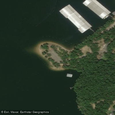
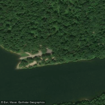
Paddle smarter with real-time insights
Whether you're en route and conditions shift or you're looking for the best spot based on current flows, we enable you to make informed decisions on the fly.








Find Places to Paddle

Over 400,000 Places to Paddle
Every user gets free access to launch points, boat ramps, and public property parcels.


Water and weather conditions (10 day forecast)
See the best times to paddle Lake Greeson and check the forecast before you go.
No forecast data available.
Paddling near Lake Greeson
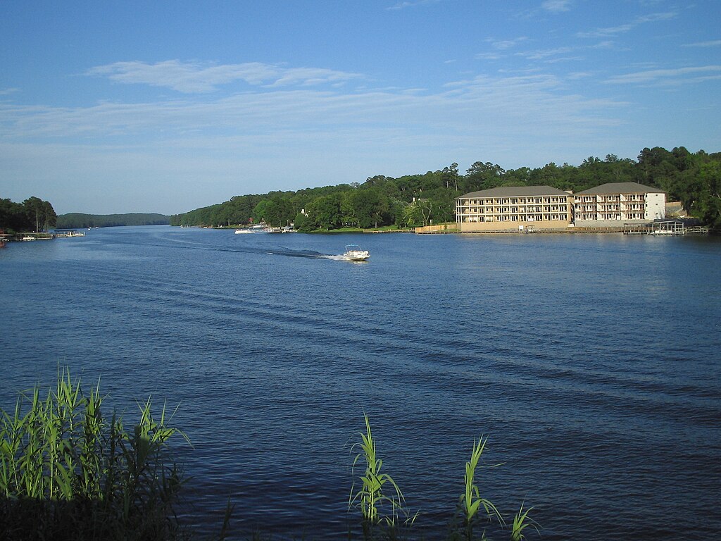
Lake Hamilton
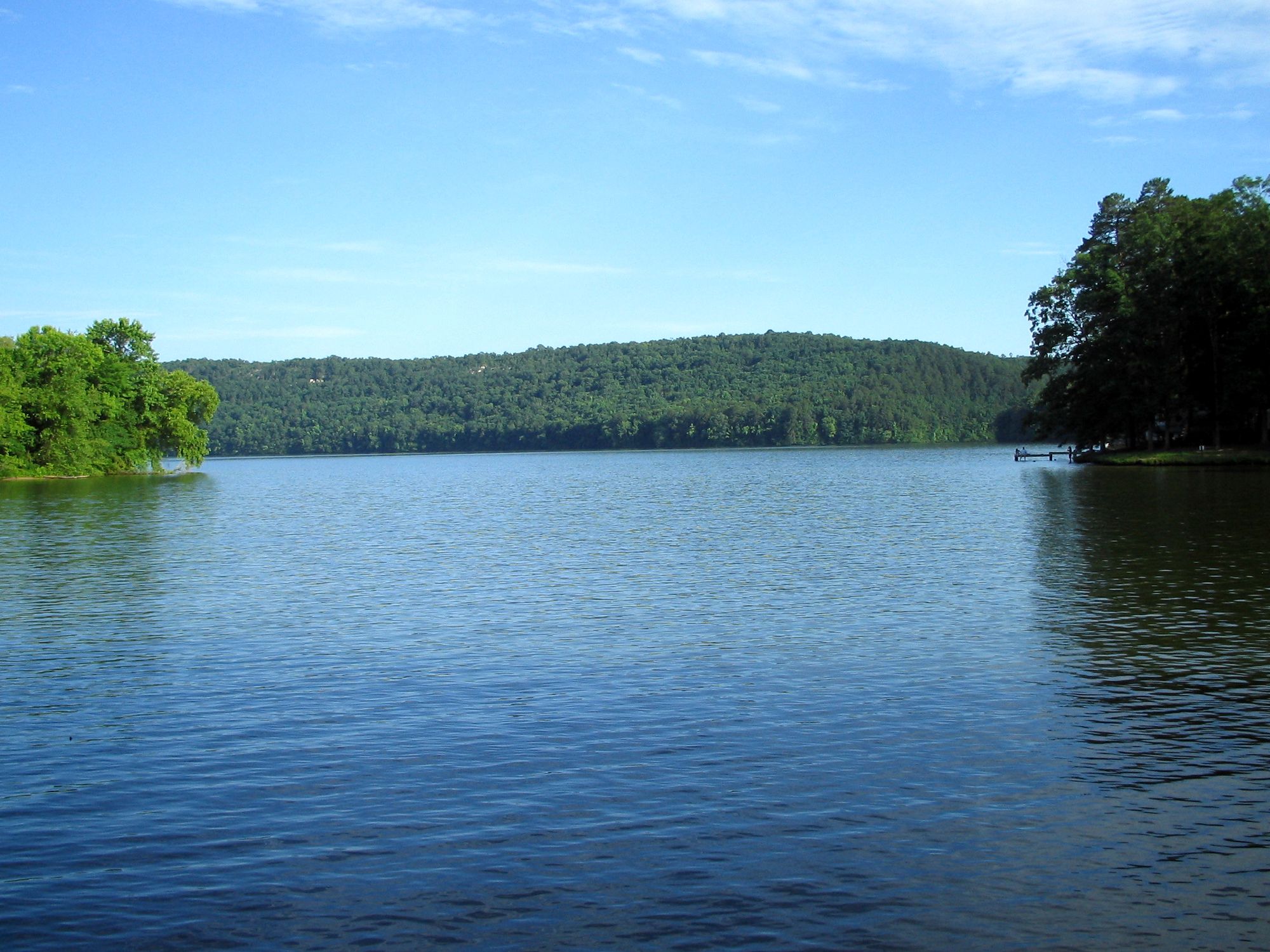
Lake Catherine
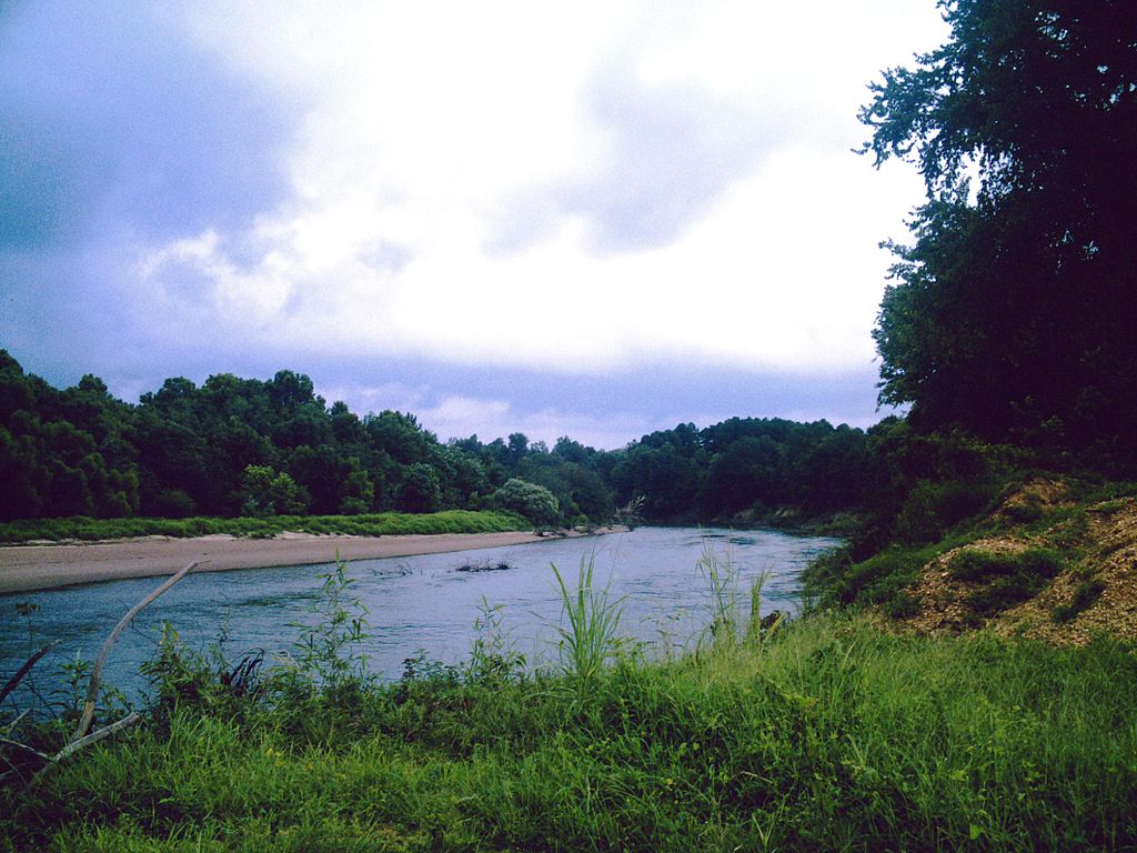
Ouachita River
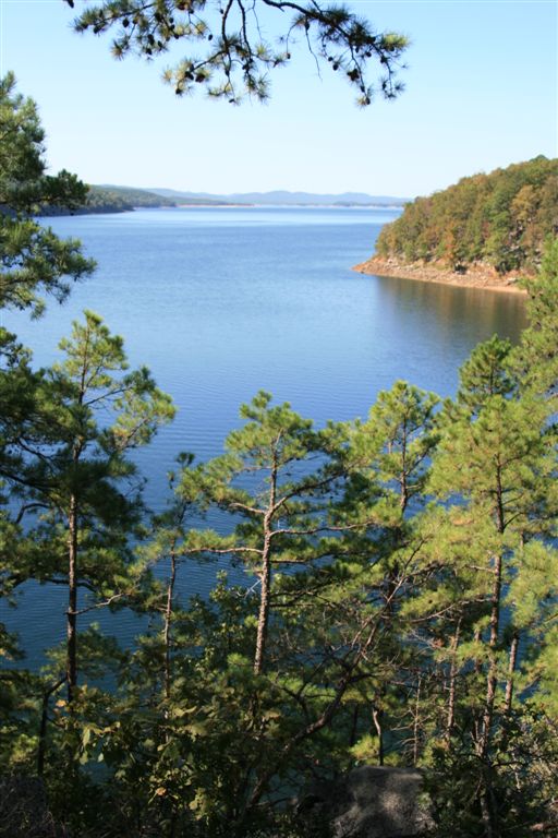
Lake Ouachita
Caddo River
Saline River

Arkansas River
Fourche LaFave River
Lake Conway
Explore Arkansas waters
Top paddling waters
Popular Cities
Loading popular cities...
Explore near Lake Greeson
Access points
- Kirby Landing Boat Ramp
- Arrowhead Point Boat Ramp
- Highway 70 Landing Boat Ramp
- Bear Creek Boat Ramp
- Parker Creek Boat Ramp
- Cowhide Cove Boat Ramp
- Laurel Creek Boat Ramp
- Self Creek Boat Ramp
- Daisy State Park West Boat Ramp
- Pikeville Boat Ramp
- Narrows Dam Marinia Boat Ramp
- Daisy State Park East Boat Ramp
- All 53 spots
Nearby waters
More in Arkansas

Smarter Paddling Starts in the App.
Paddleways gives you everything you need to plan smarter, paddle better, and own every trip from first launch to takeout.