De Gray Lake
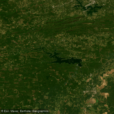
De Gray Lake
- Boat Ramps
- 23
- Access Points
- 23
- Campsites
- 13
De Gray Lake is a 13,400-acre reservoir located in west-central Arkansas, offering excellent opportunities for paddling. The lake features clear waters and is surrounded by the scenic Ouachita Mountains. Paddlers can access the lake via the marina at DeGray Lake Resort State Park, which offers kayak, canoe, and stand-up paddleboard rentals.
A highlight for paddlers is the 3-mile Islets Cove Paddle Trail, which starts from the state park marina. This family-friendly water trail is marked with yellow signs along the shoreline, providing information about the lake's features and history. Points of interest include beaver lodges, habitat boxes for waterfowl, and wildlife viewing stations.
The lake's size ensures that paddlers rarely feel crowded. Wildlife enthusiasts may spot eagles and herons soaring overhead. The shoreline is predominantly forested, creating a picturesque backdrop for paddling adventures. Historical points of interest include the site of a former dairy farm pond, submerged when the lake was created in the early 1970s.
DeGray Lake Resort State Park offers amenities for paddlers, including a full-service marina with fuel, snacks, and a bait and tackle shop. Launch ramps are available at the marina and two additional locations within the park: DeRoche Ridge camping area and Caddo Bend.
Paddlers should be aware that motorized boat operators born after January 1, 1986, must satisfy boating education requirements. The lake is also popular for other water activities, including fishing, water-skiing, and scuba diving, so paddlers should remain alert to other watercraft.
For an extended paddling experience, consider exploring some of the lake's numerous coves and inlets. The best times for paddling are typically spring through fall when temperatures are moderate.
Water access, boat ramps & amenities
Learn how to get on De Gray Lake. Uncover great paddling access points, boat ramps, and all the facilities you need for an unforgettable day on the water. Some locations shown may border or include private property. Always check property boundaries and applicable regulations before visiting. PaddleWays's Public & Private Land layer can help you plan your access with confidence.
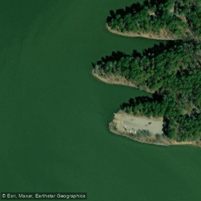
Arlie Moore Boat Ramp
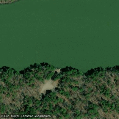
Ozan Point Boat Ramp
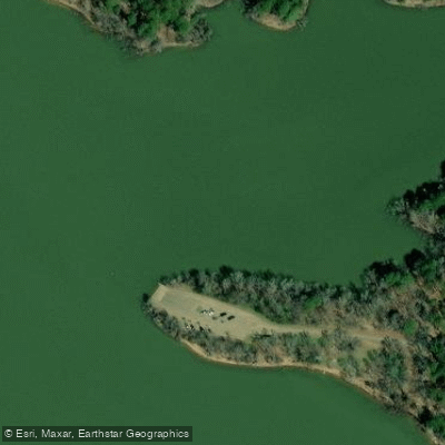
Lenox Marcus Boat Ramp
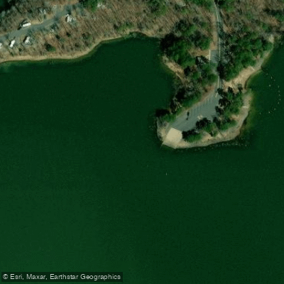
DeRoche Ridge Boat Ramp
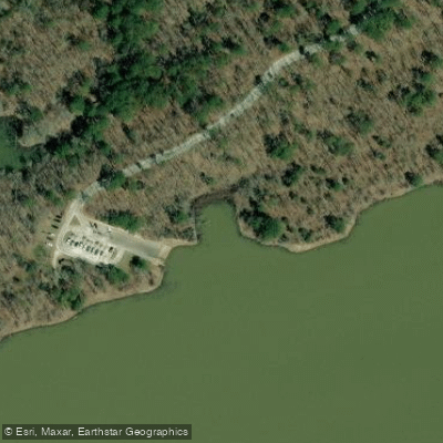
Point Cedar Boat Ramp
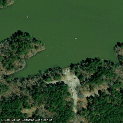
Shouse Ford Boat Ramp
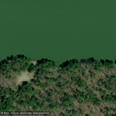
Ozan Point Boat Ramp
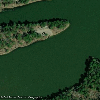
Brushy Creek Boat Ramp
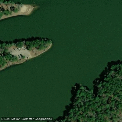
Brushy Creek Boat Ramp
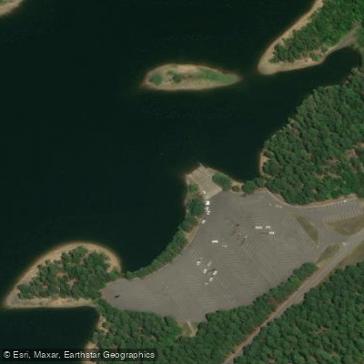
Spillway Area Boat Ramp
Paddle smarter with real-time insights
Whether you're en route and conditions shift or you're looking for the best spot based on current flows, we enable you to make informed decisions on the fly.








Find Places to Paddle

Over 400,000 Places to Paddle
Every user gets free access to launch points, boat ramps, and public property parcels.


Water and weather conditions (10 day forecast)
See the best times to paddle De Gray Lake and check the forecast before you go.
No forecast data available.
Paddling near De Gray Lake
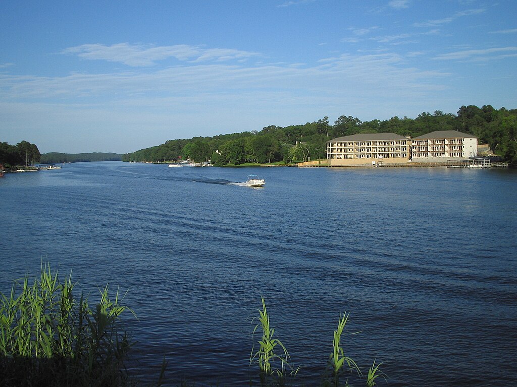
Lake Hamilton
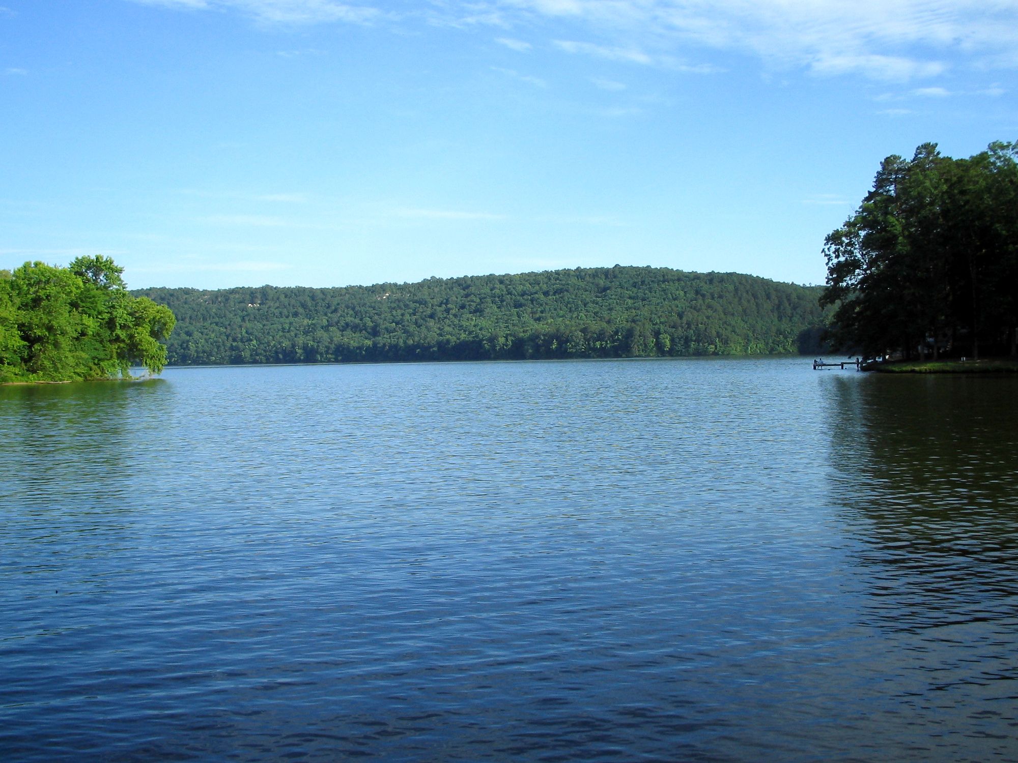
Lake Catherine
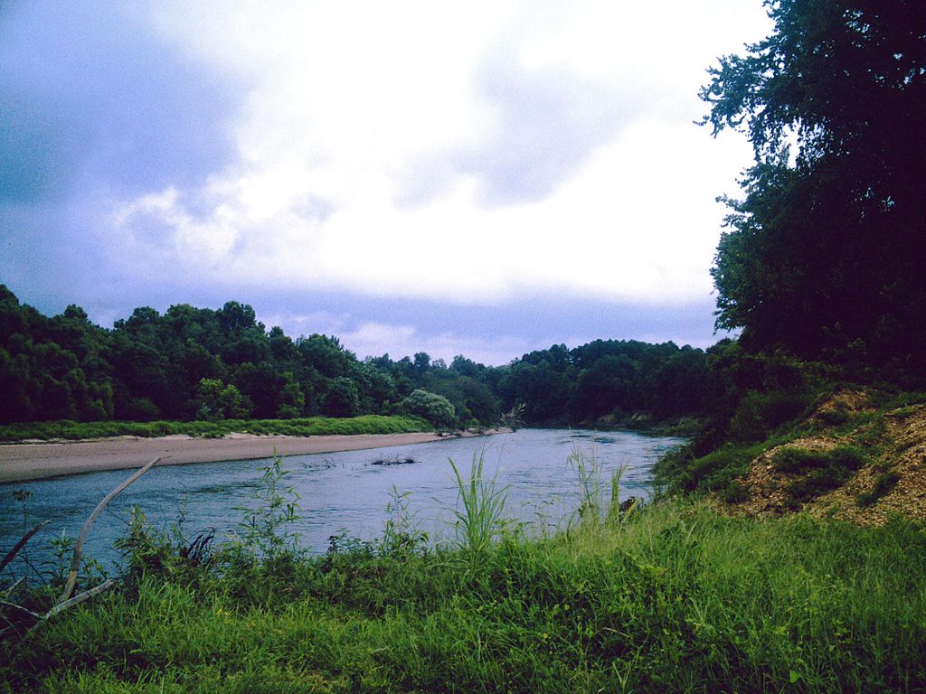
Ouachita River
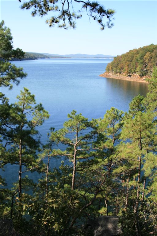
Lake Ouachita
Caddo River
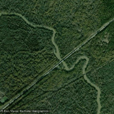
Saline River
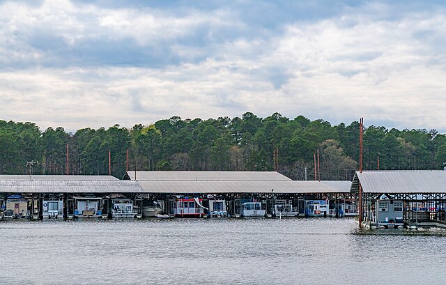
Lake Greeson

Arkansas River
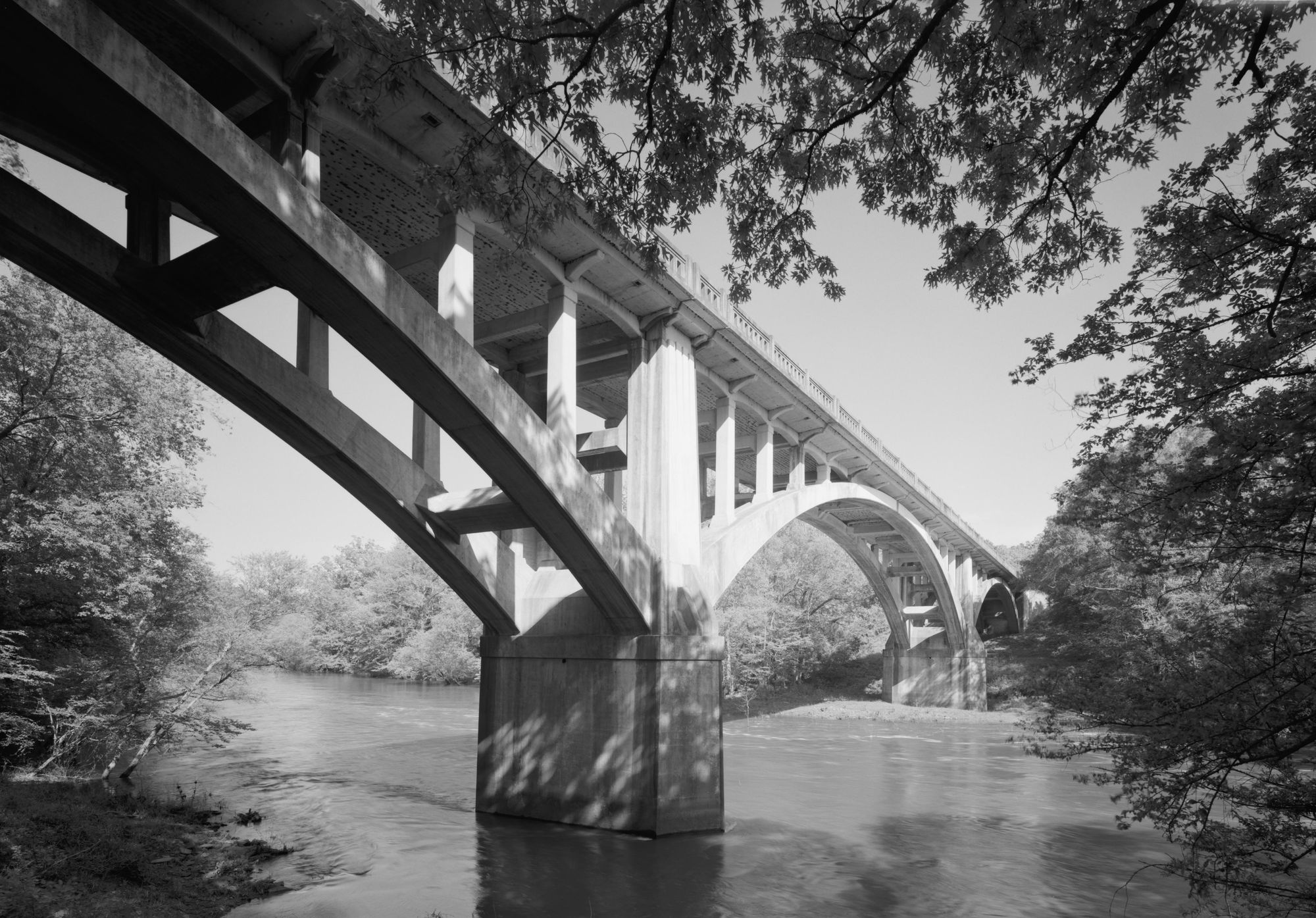
Fourche LaFave River
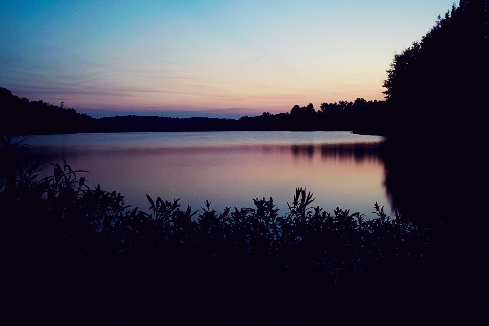
Lake Conway
Explore Arkansas waters
Top paddling waters
Popular Cities
Loading popular cities...
Explore near De Gray Lake
Access points
Nearby waters
More in Arkansas

Smarter Paddling Starts in the App.
Paddleways gives you everything you need to plan smarter, paddle better, and own every trip from first launch to takeout.