Greers Ferry Lake
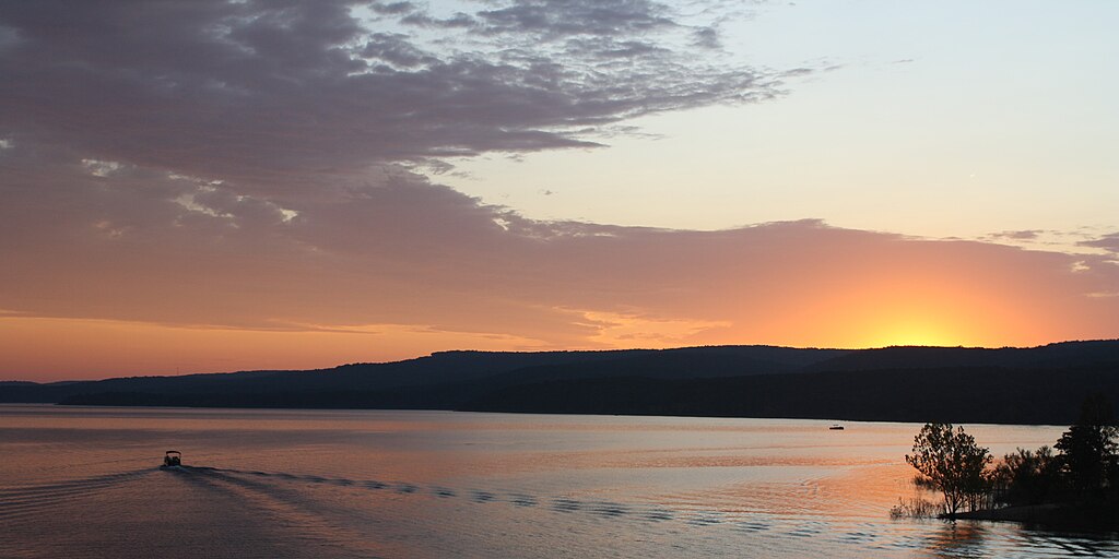
Greers Ferry Lake
- Boat Ramps
- 25
- Access Points
- 31
- Campsites
- 22
Greers Ferry Lake in Arkansas offers 40,500 acres of clear, warm water for paddling, with 350 miles of shoreline to explore. The lake is nestled in the Ozark foothills, providing scenic views of forested shores and nearby Sugar Loaf Mountain. Crystal-clear waters make for excellent visibility, with temperatures reaching around 80°F in summer months.
Popular US Army Corps of Engineers ramp next to the Federal Fish Hatchery provides access. Paddlers can explore hidden coves, islands, and inlets throughout the lake. Sugar Loaf Mountain Island is a highlight, offering hiking trails and panoramic vistas from wooden stairs 500 feet above the water.
The lake is known for its exceptional water quality and cleanliness. Fishing opportunities abound, with species like hybrid striped bass, white bass, and redear sunfish. Wildlife viewing includes chances to spot deer along the shores.
Paddling is enjoyable from spring through fall, though summer offers the warmest water temperatures. The lake tends to be less crowded than some other Arkansas paddling destinations. Outfitters at the lake offer paddleboard and kayak rentals, as well as other amenities.
Safety considerations include being aware of motorized boat traffic, especially on busy summer weekends. Paddlers should also exercise caution around the numerous private boat docks lining portions of the shoreline.
Greers Ferry Lake's pristine waters, diverse shoreline, and surrounding natural beauty make it an ideal destination for flatwater paddling in Arkansas. The lake's size allows for both short excursions and full-day paddling adventures.
Water access, boat ramps & amenities
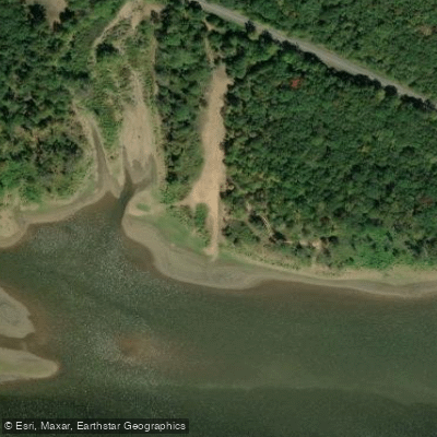
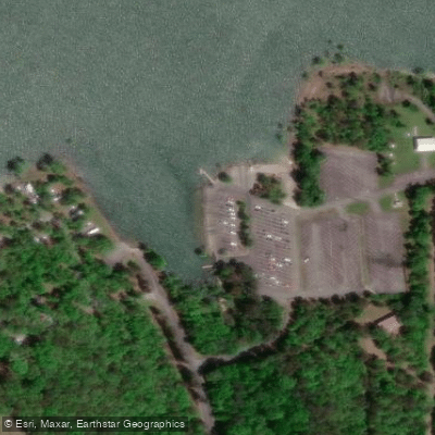
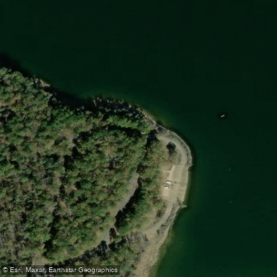
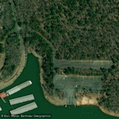
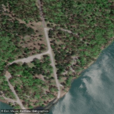
Learn how to get on Greers Ferry Lake. Uncover great paddling access points, boat ramps, and all the facilities you need for an unforgettable day on the water. Some locations shown may border or include private property. Always check property boundaries and applicable regulations before visiting. PaddleWays's Public & Private Land layer can help you plan your access with confidence.
Paddle smarter with real-time insights
Whether you're en route and conditions shift or you're looking for the best spot based on current flows, we enable you to make informed decisions on the fly.








Find Places to Paddle

Over 400,000 Places to Paddle
Every user gets free access to launch points, boat ramps, and public property parcels.


Water and weather conditions (10 day forecast)
See the best times to paddle Greers Ferry Lake and check the forecast before you go.
No forecast data available.
Paddling near Greers Ferry Lake

Lake Conway

Arkansas River
Fourche LaFave River
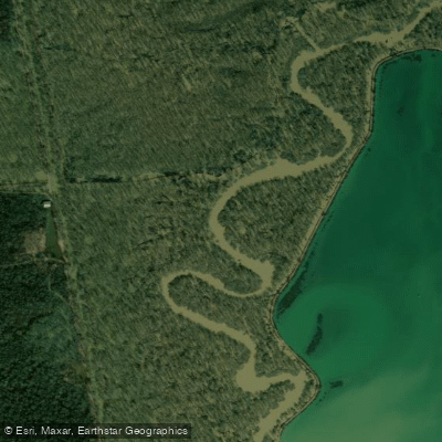
Bayou Meto
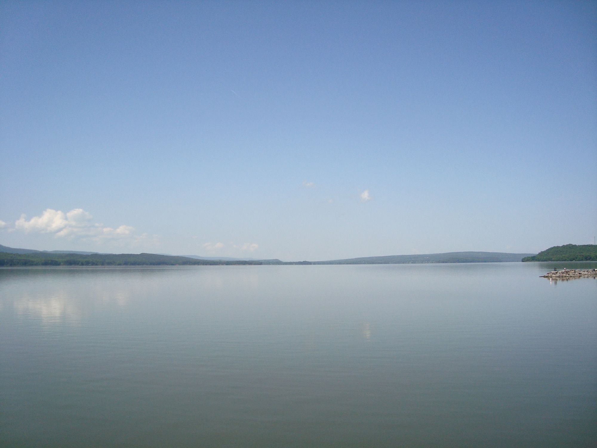
Lake Dardanelle
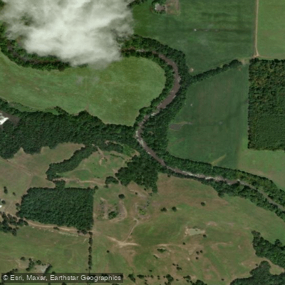
Petit Jean River
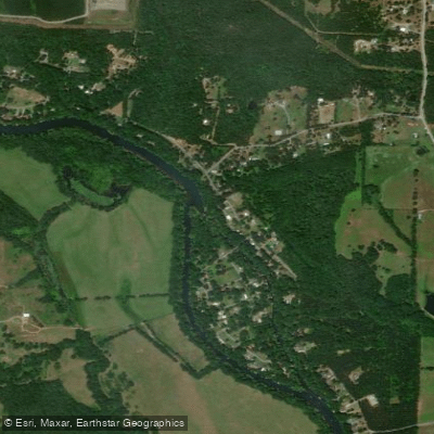
Little Red River
Saline River
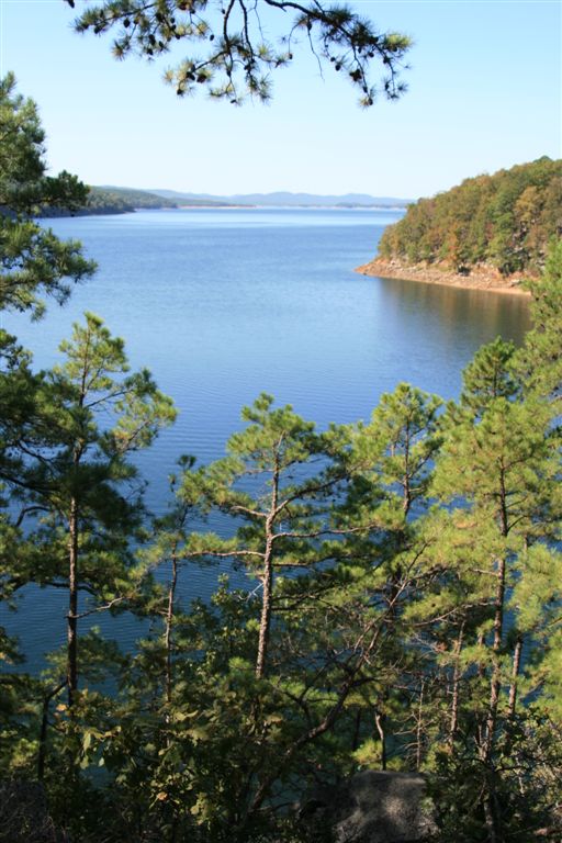
Lake Ouachita
Explore Arkansas waters
Top paddling waters
Popular Cities
Loading popular cities...
Explore near Greers Ferry Lake
Access points
- Fairfield Bay Boating Access
- Frontier Canyon Boat Ramp
- Stewart Boating Access
- Unknown Boat Ramp
- Johnson Hole Boat Ramp
- Heber Springs Boat Ramp
- Choctaw Boat Ramp
- Mill Creek Recreation Area Boat Ramp
- Shiloh Recreation Area Boat Ramp
- Greers Ferry Lake Boat Ramp
- South Fork Boat Ramp
- Greers Ferry Lake Boat Ramp
- All 117 spots
Nearby waters
More in Arkansas

Smarter Paddling Starts in the App.
Paddleways gives you everything you need to plan smarter, paddle better, and own every trip from first launch to takeout.