Lake Ouachita
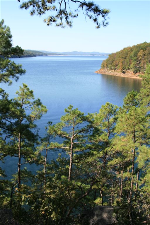
Lake Ouachita
- Boat Ramps
- 21
- Access Points
- 24
- Campsites
- 28
Lake Ouachita, Arkansas's largest lake, offers paddlers 700 miles of undeveloped shoreline and over 100 islands to explore. Located within the Ouachita National Forest, the lake is known for its exceptional water clarity and cleanliness. The Rabbit Tail Water Trail provides an 8.5-mile loop for paddlers, while the Buckville Water Trail offers a 5.4-mile route.
Key access points include the Rabbit Tail Access and Buckville recreation area. Paddlers should be aware of potential hazards such as strong winds creating rough water and increased motorboat traffic on weekends and holidays. It's advisable to stick to quiet coves and avoid open water when possible.
Wildlife enthusiasts can spot wintering bald eagles, waterfowl, and listen for loons calling. The shoreline features red and white oaks and shortleaf pines, with migratory songbirds visible in spring among blooming dogwoods and redbuds. Fishing opportunities abound for species like bream, crappie, catfish, and bass.
A unique feature of Lake Ouachita is the ability to camp freely on its islands, making it ideal for multi-day paddling trips. The Army Corps of Engineers manages primitive campsites at Buckville and Avant. Paddlers can also camp along the National Forest shoreline, but should pack out all trash.
For geology enthusiasts, the lake showcases striking rock formations, including quartz deposits and colorful shale. The lake's depth and clarity make it popular for activities like swimming and snorkeling in addition to paddling.
Weekdays and non-summer seasons are recommended for a quieter paddling experience with less motorized boat traffic. Fall offers spectacular views of the mixed pine and hardwood forests. The lake's numerous coves provide protected areas for paddling, especially near the Rabbit Tail Access.
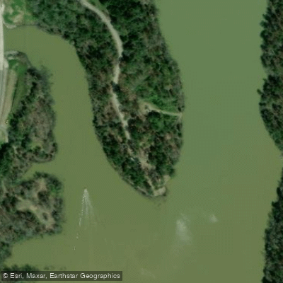
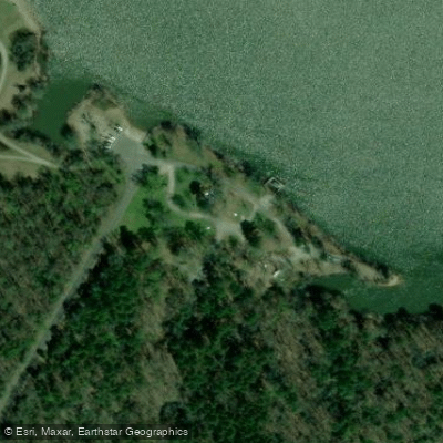
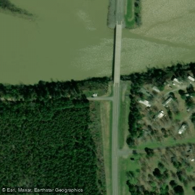
Water access, boat ramps & amenities
Learn how to get on Lake Ouachita. Uncover great paddling access points, boat ramps, and all the facilities you need for an unforgettable day on the water. Some locations shown may border or include private property. Always check property boundaries and applicable regulations before visiting. PaddleWays's Public & Private Land layer can help you plan your access with confidence.
Paddle smarter with real-time insights
Whether you're en route and conditions shift or you're looking for the best spot based on current flows, we enable you to make informed decisions on the fly.








Find Places to Paddle

Over 400,000 Places to Paddle
Every user gets free access to launch points, boat ramps, and public property parcels.


Water and weather conditions (10 day forecast)
See the best times to paddle Lake Ouachita and check the forecast before you go.
No forecast data available.
Paddling near Lake Ouachita
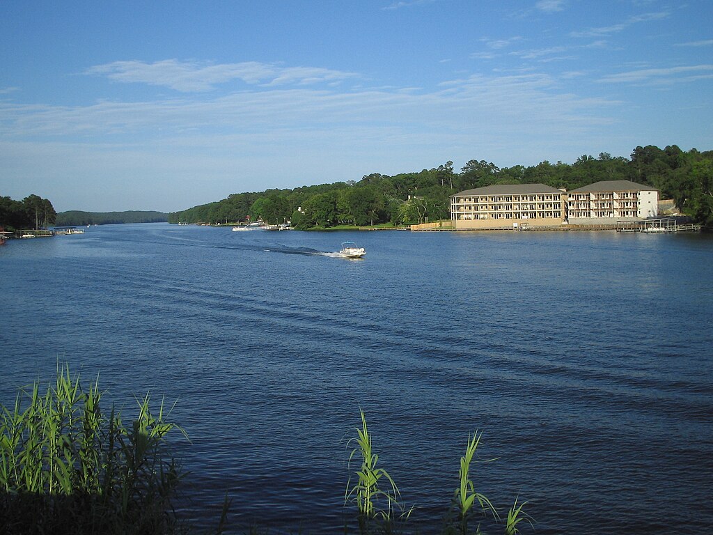
Lake Hamilton
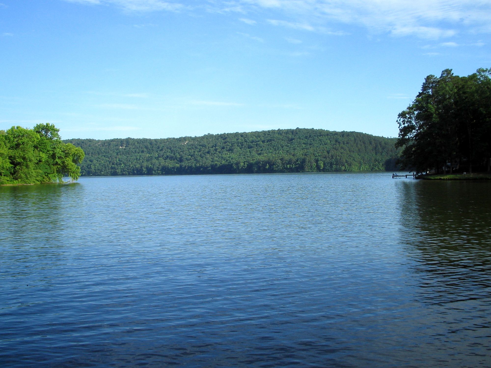
Lake Catherine
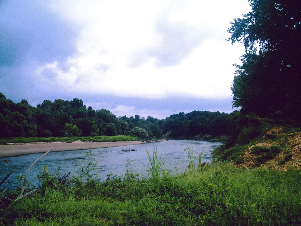
Ouachita River
Caddo River
Saline River
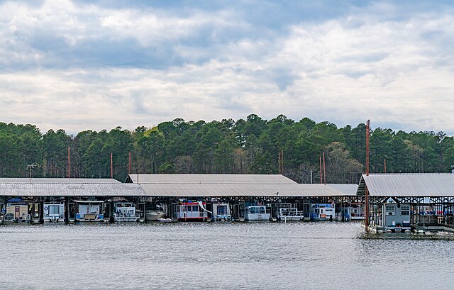
Lake Greeson

Arkansas River
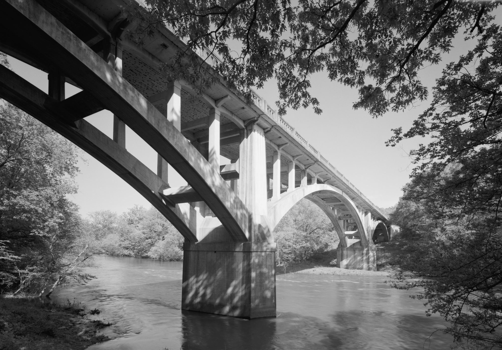
Fourche LaFave River
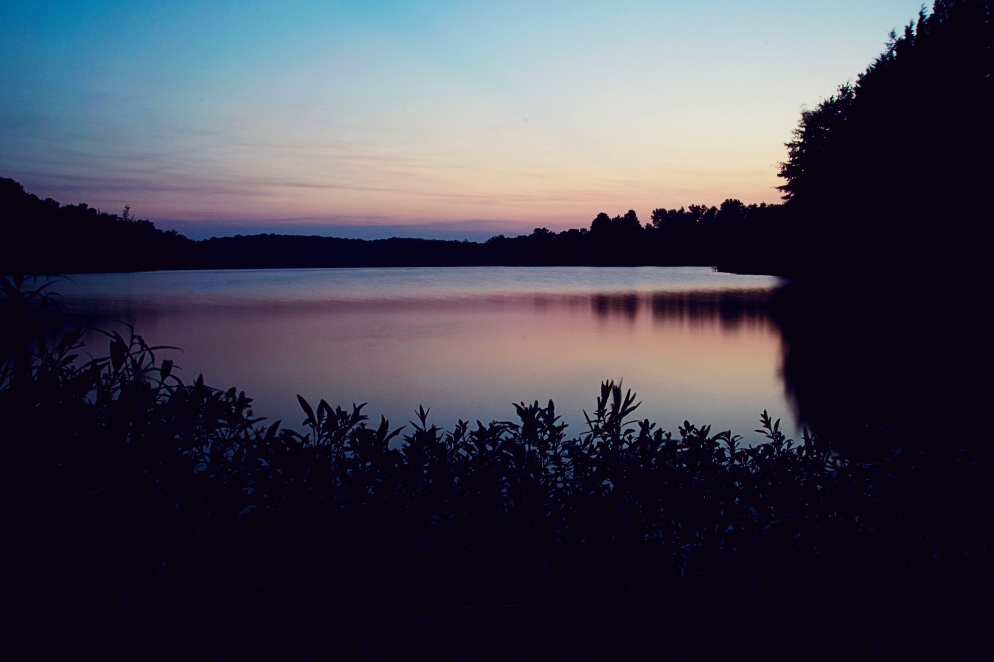
Lake Conway
Explore Arkansas waters
Top paddling waters
Popular Cities
Loading popular cities...
Explore near Lake Ouachita
Access points
- Brady Mountain Boat Ramp
- Mountain Harbor Boat Ramp
- Irons Fork Boat Ramp
- Ironsfork Point Boat Ramp
- Denby Point Boat Ramp
- Highway 27 Boat Ramp
- Twin Creek Boat Ramp
- Tompkins Bend Boat Ramp
- Lena Landing Boat Ramp
- Lake Ouachita Buckville Boat Ramp
- Brady Mountain Road Boat Ramp
- Crytal Springs Resort Boat Ramp
- All 137 spots
Nearby waters
More in Arkansas

Smarter Paddling Starts in the App.
Paddleways gives you everything you need to plan smarter, paddle better, and own every trip from first launch to takeout.