Norfork Lake
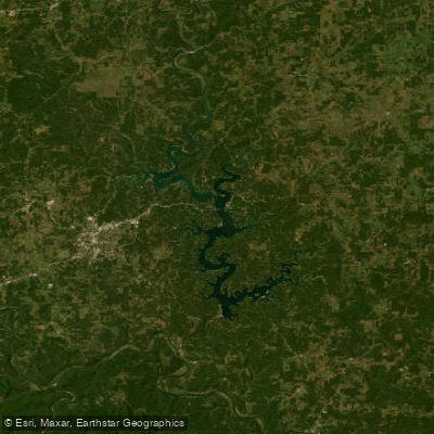
Norfork Lake
- Boat Ramps
- 44
- Access Points
- 61
- Campsites
- 11
Norfork Lake, straddling the Arkansas-Missouri border, offers paddlers a scenic 22,000-acre reservoir with over 550 miles of undeveloped shoreline. The lake's clear, clean waters and numerous coves provide excellent conditions for kayaking and canoeing. With a length of 42 miles, Norfork Lake presents ample opportunities for both day trips and extended paddling adventures.
Access points are plentiful, with multiple boat ramps scattered around the lake. Notable launches include Buzzard Roost Boat Dock, Gamaliel Landing, Henderson Park, and Woods Point. Many of these access areas offer amenities such as parking, docks, and restrooms.
The lake's aesthetic appeal stems from its Ozark Mountain setting, featuring wooded shorelines and occasional bluffs. Water clarity can reach up to 60 feet in some areas, enhancing the paddling experience. Spring and fall are ideal paddling seasons, with comfortable temperatures and scenic foliage. Summer can be crowded but offers warm water temperatures suitable for swimming.
Paddlers should be aware of potential hazards such as boat traffic, especially during peak summer months. Wind can create challenging conditions on the main lake, so less experienced paddlers may prefer exploring the quieter coves and inlets.
Wildlife viewing opportunities abound, with various bird species and the possibility of spotting deer along the shoreline. The lake is also known for its excellent fishing, with species like bass, walleye, and crappie inhabiting its waters.
Several parks managed by the U.S. Army Corps of Engineers surround the lake, offering additional recreational opportunities such as hiking trails and picnic areas. Paddlers interested in overnight trips can take advantage of numerous campgrounds around the lake's perimeter.
Water temperatures in Norfork Lake typically follow a seasonal pattern, with cooler waters in spring and fall, and warmer temperatures during summer months. The lake's water quality is generally good, contributing to its reputation as one of the cleanest lakes in the region.
Water access, boat ramps & amenities
Learn how to get on Norfork Lake. Uncover great paddling access points, boat ramps, and all the facilities you need for an unforgettable day on the water. Some locations shown may border or include private property. Always check property boundaries and applicable regulations before visiting. PaddleWays's Public & Private Land layer can help you plan your access with confidence.
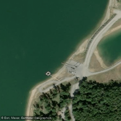
Cranfield Boat Ramp Courtesy Dock
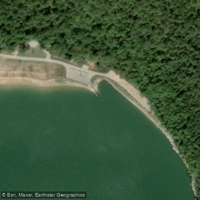
Pigeon Creek Boat Ramp #1 Courtesy Dock
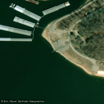
Gamaliel Courtesy Dock
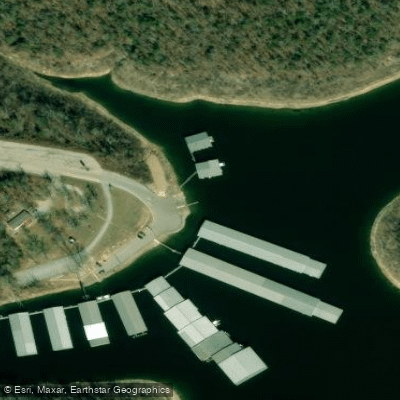
Buzzard Roost Courtesy Dock
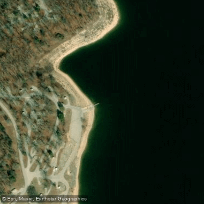
Robinson Point Courtesy Dock
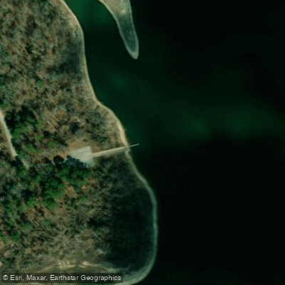
Calamity Beach Access Courtesy Dock
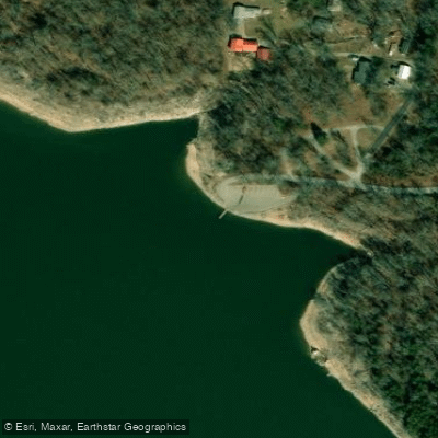
Red Bank Park Courtesy Dock
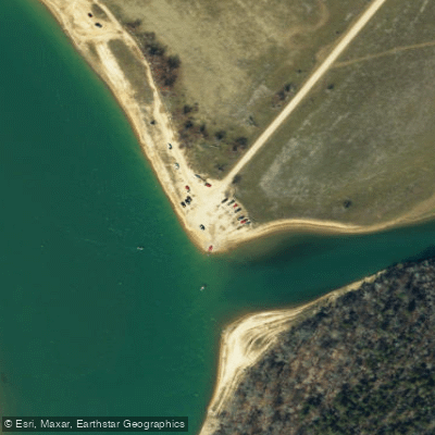
Norfork Lake Access
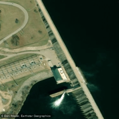
Norkfork Dam Access
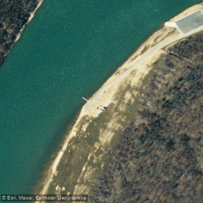
Norfork Lake Access
Paddle smarter with real-time insights
Whether you're en route and conditions shift or you're looking for the best spot based on current flows, we enable you to make informed decisions on the fly.








Find Places to Paddle

Over 400,000 Places to Paddle
Every user gets free access to launch points, boat ramps, and public property parcels.


Water and weather conditions (10 day forecast)
See the best times to paddle Norfork Lake and check the forecast before you go.
North Fork Riv US of Dry Ck bl Norfork Dam, AR
Paddling near Norfork Lake

White River
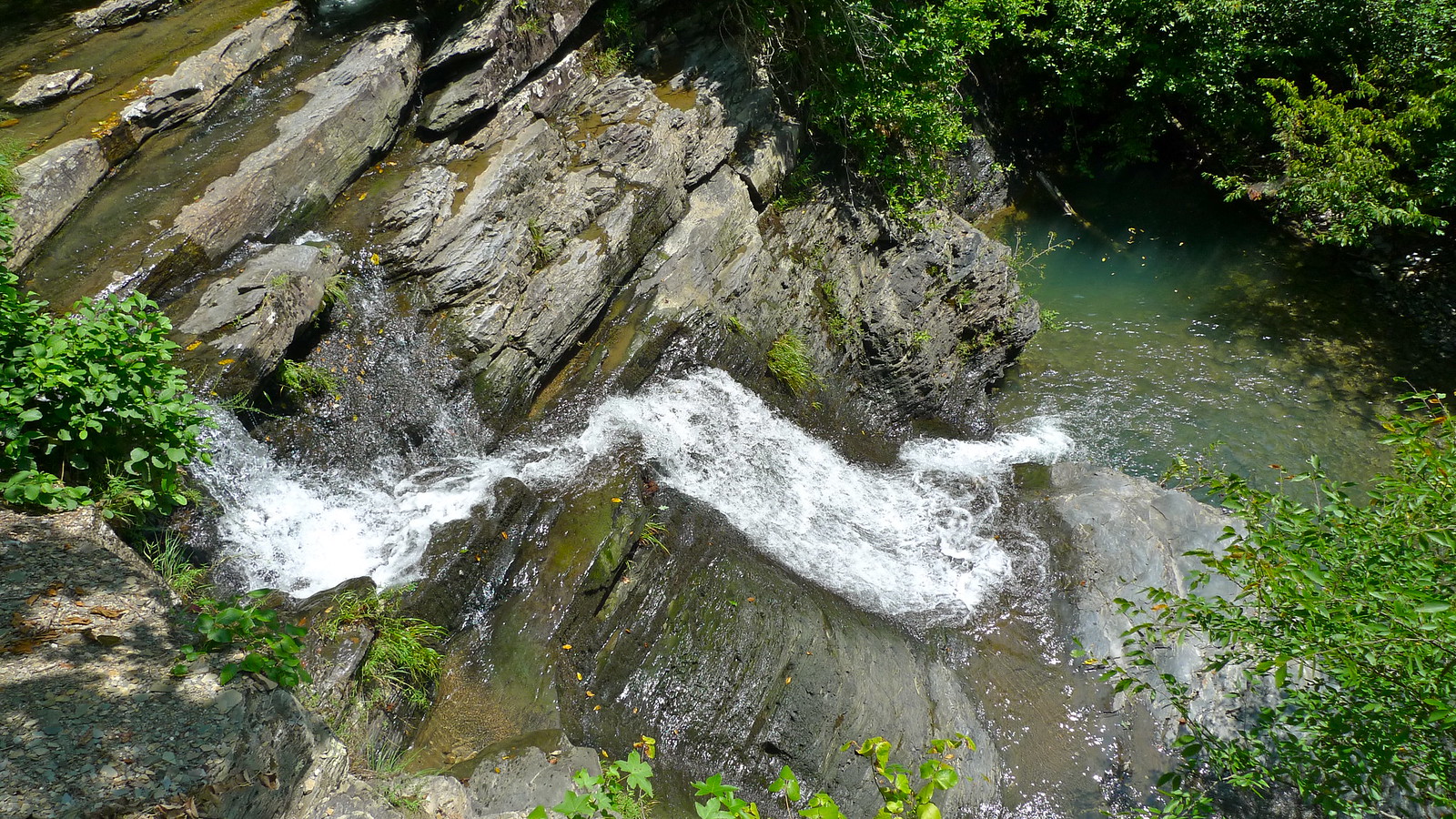
Crooked Creek
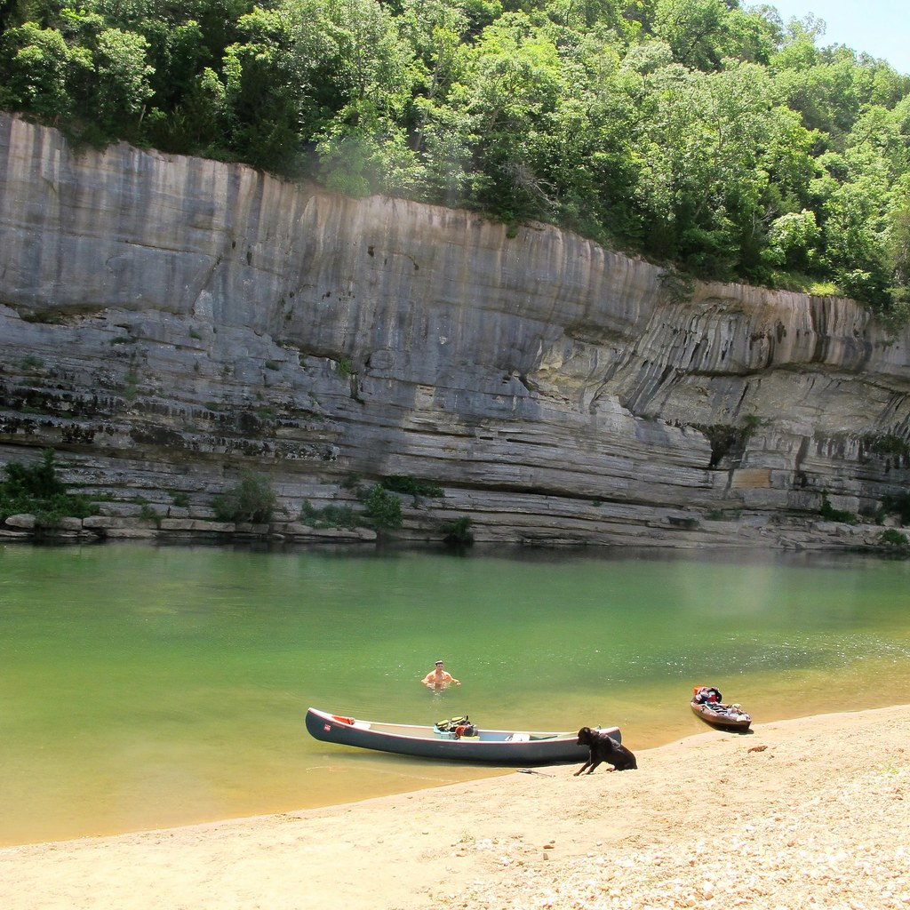
Buffalo River
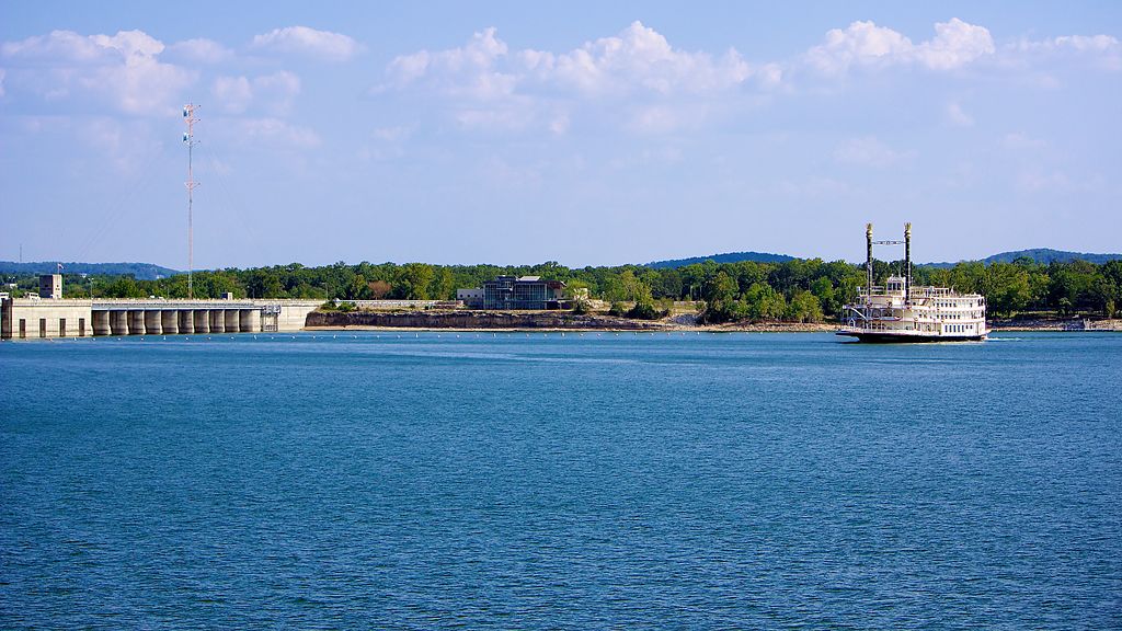
Table Rock Lake
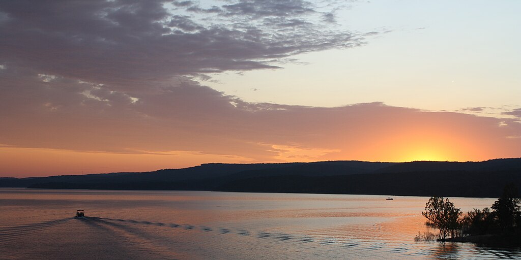
Greers Ferry Lake
Little Red River
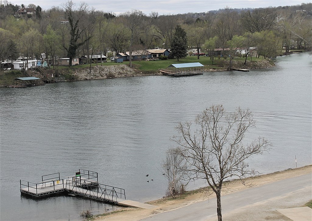
Lake Taneycomo
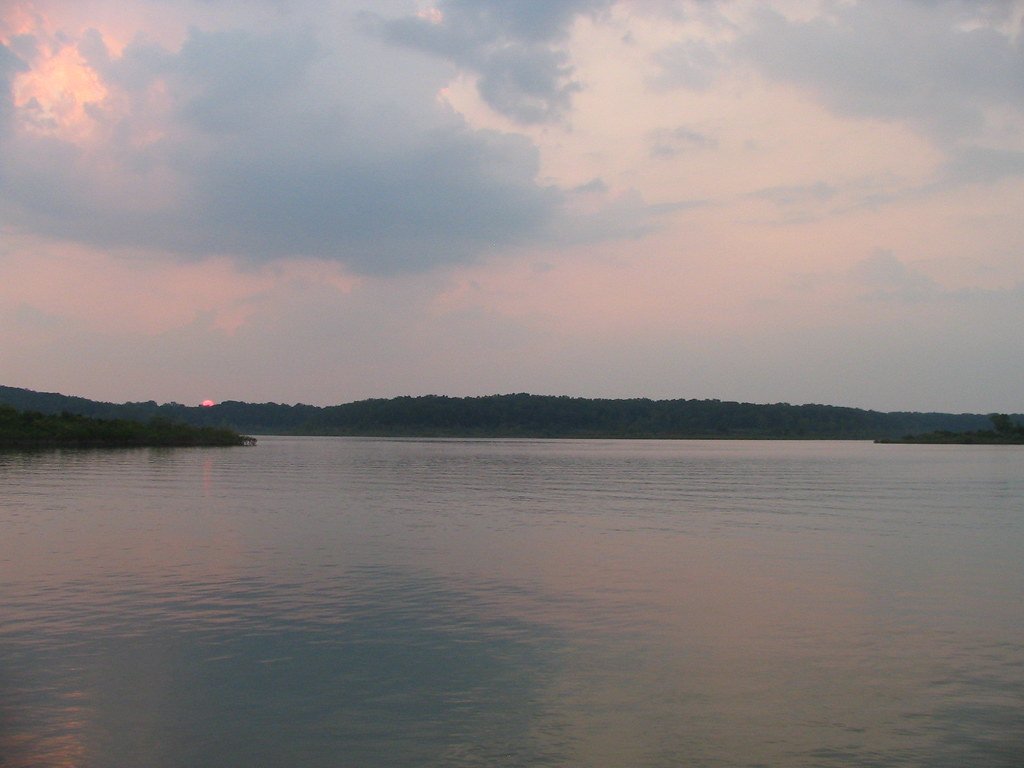
Bull Shoals Lake
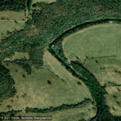
Clear Creek
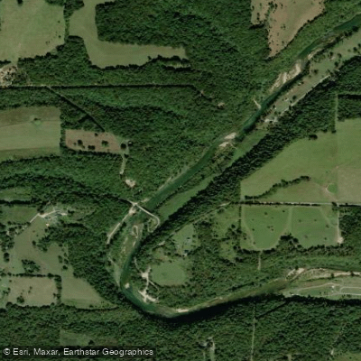
North Fork River
Explore Arkansas waters
Top paddling waters
Popular Cities
Loading popular cities...
Explore near Norfork Lake
Access points
Nearby waters
More in Arkansas

Smarter Paddling Starts in the App.
Paddleways gives you everything you need to plan smarter, paddle better, and own every trip from first launch to takeout.