Bull Shoals Lake
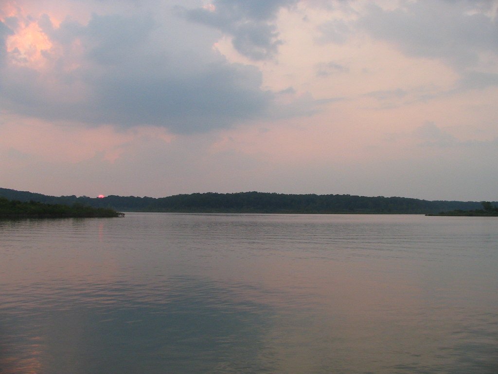
Bull Shoals Lake
- Boat Ramps
- 38
- Access Points
- 44
- Campsites
- 9
Bull Shoals Lake is a vast 45,000-acre reservoir straddling the Arkansas-Missouri border, offering paddlers over 1,000 miles of pristine shoreline to explore. The lake's crystal-clear waters and undeveloped shoreline create a scenic paddling environment surrounded by oak and pine woodlands. With an average depth of 70 feet and maximum depth of 210 feet, Bull Shoals provides ample space for paddlers to navigate.
The lake is generally uncrowded, even on holidays, allowing for a peaceful paddling experience. Numerous public boat ramps and marinas provide access points. The U.S. Army Corps of Engineers maintains a buffer zone along the entire shoreline, preserving the lake's natural beauty and providing opportunities to view wildlife. Paddlers may spot bald eagles fishing, along with various bird species, deer, and other mammals.
Bull Shoals Lake offers excellent opportunities for fishing from kayaks or canoes, with species like largemouth bass, smallmouth bass, walleye, and crappie abundant in its waters. The lake's many coves and creek arms allow paddlers to find secluded spots away from motorized boat traffic.
Water levels can fluctuate significantly for flood control purposes, with the normal pool elevation around 659-660 feet above sea level. Paddlers should be aware that the lake can experience strong winds, particularly in open areas. No specific paddling restrictions were noted, but standard boating regulations likely apply.
While the lake itself is a relatively recent creation, completed in 1951 with the construction of Bull Shoals Dam, it has become an integral part of the Ozarks landscape. The dam, which was the fifth largest in the world at the time of its completion, offers a point of historical interest for paddlers exploring the lake's western end.
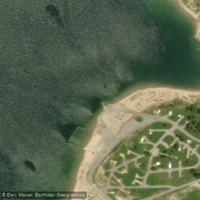
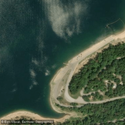
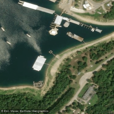
Water access, boat ramps & amenities
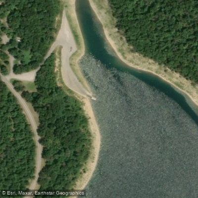
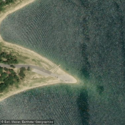
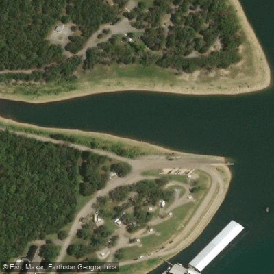
Learn how to get on Bull Shoals Lake. Uncover great paddling access points, boat ramps, and all the facilities you need for an unforgettable day on the water. Some locations shown may border or include private property. Always check property boundaries and applicable regulations before visiting. PaddleWays's Public & Private Land layer can help you plan your access with confidence.
Paddle smarter with real-time insights
Whether you're en route and conditions shift or you're looking for the best spot based on current flows, we enable you to make informed decisions on the fly.








Find Places to Paddle

Over 400,000 Places to Paddle
Every user gets free access to launch points, boat ramps, and public property parcels.


Water and weather conditions (10 day forecast)
See the best times to paddle Bull Shoals Lake and check the forecast before you go.
White River at Bull Shoals Dam near Flippin
Paddling near Bull Shoals Lake

White River
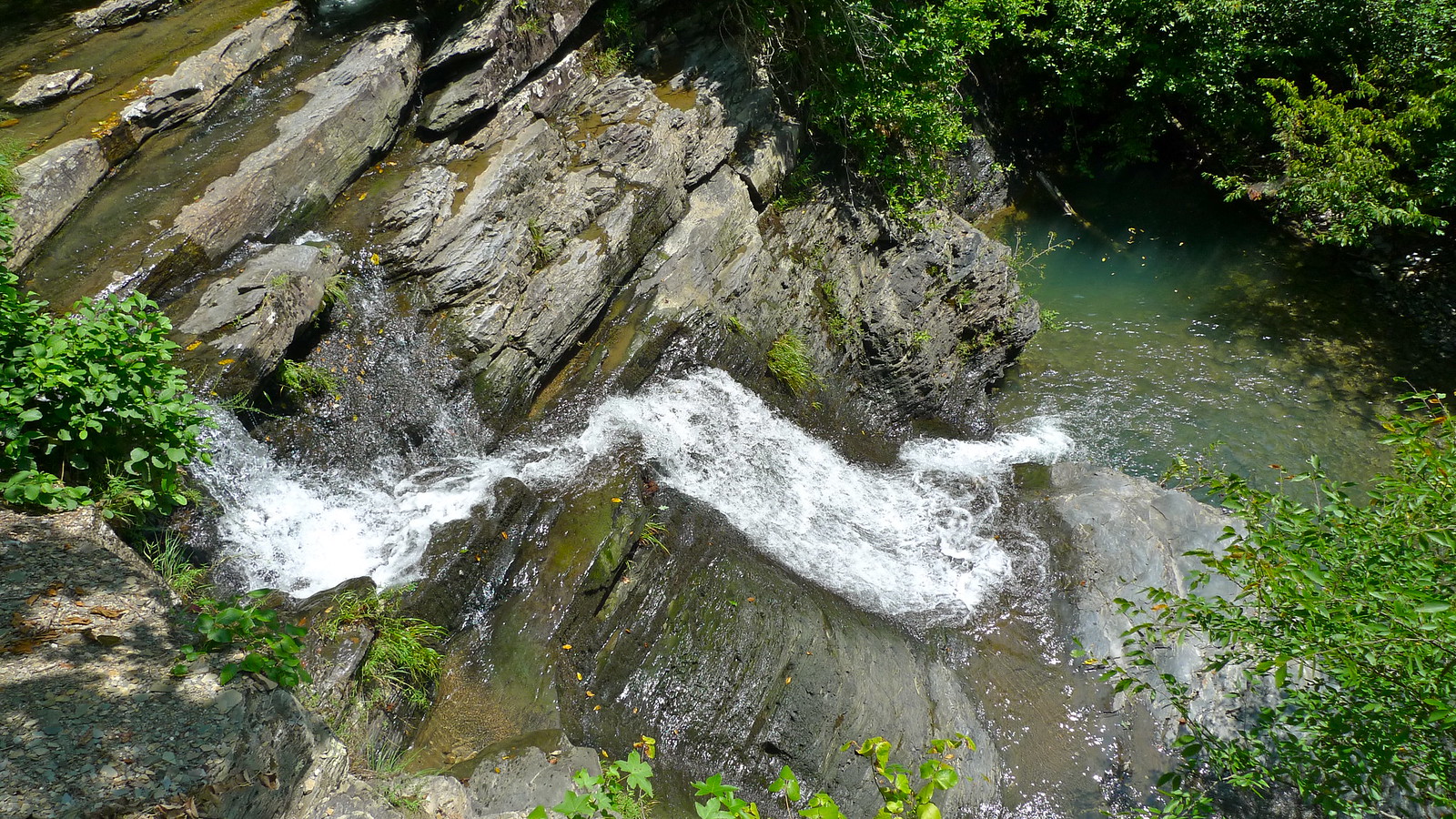
Crooked Creek
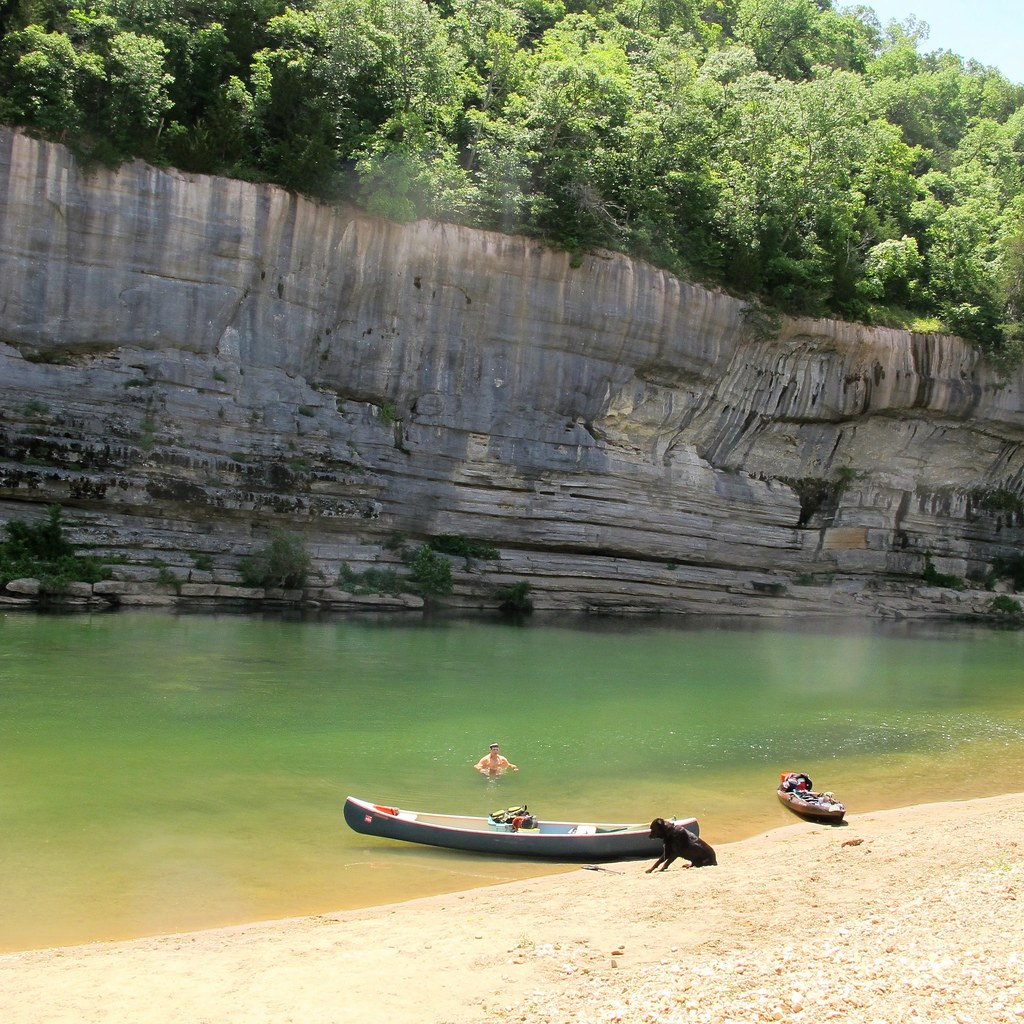
Buffalo River
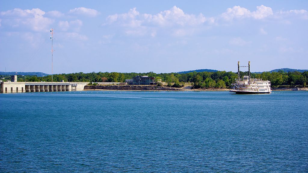
Table Rock Lake
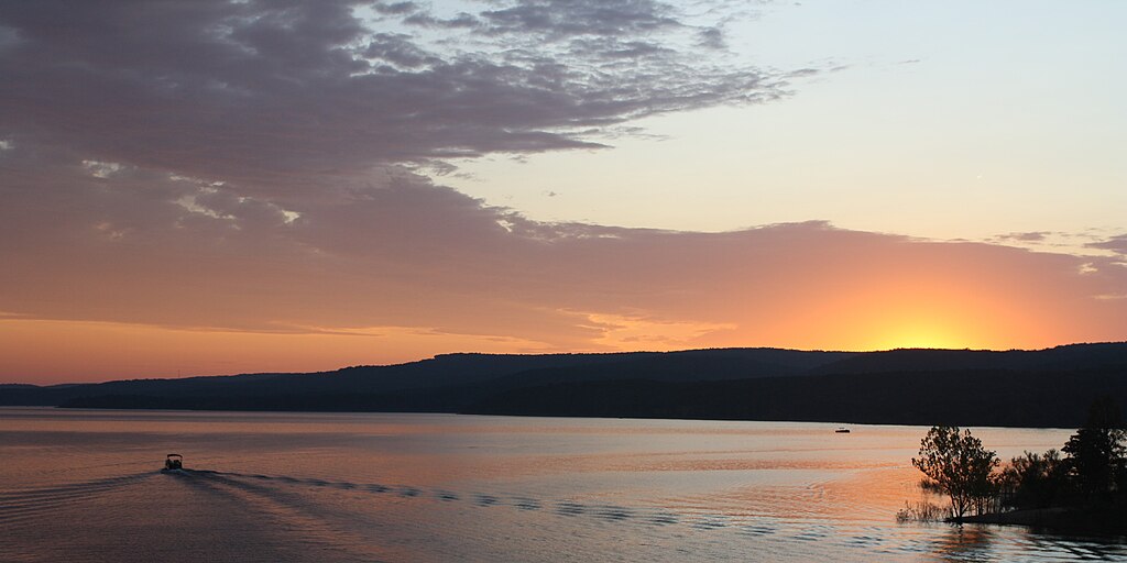
Greers Ferry Lake
Little Red River
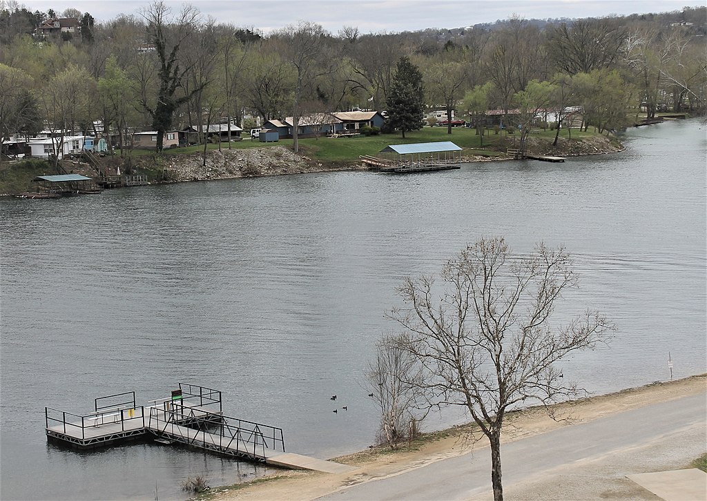
Lake Taneycomo
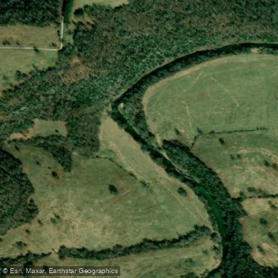
Clear Creek
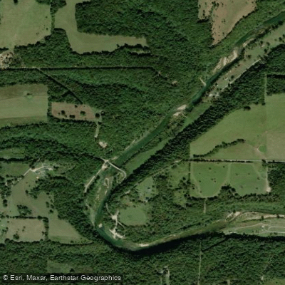
North Fork River
Explore Arkansas waters
Top paddling waters
Popular Cities
Loading popular cities...
Explore near Bull Shoals Lake
Access points
Nearby waters
More in Arkansas

Smarter Paddling Starts in the App.
Paddleways gives you everything you need to plan smarter, paddle better, and own every trip from first launch to takeout.