Sea To Sky Trail
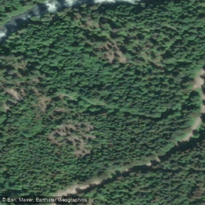
Sea To Sky Trail
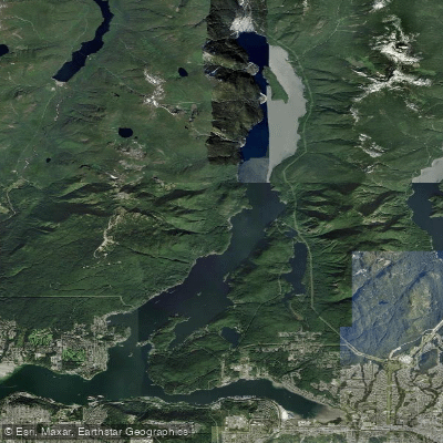
The Sea to Sky Trail is a 180-kilometre multi-use recreational corridor running through British Columbia's Sea-to-Sky region, stretching from the Squamish waterfront in the south to D'Arcy on Anderson Lake in the north.
Maintained by the Squamish-Lillooet Regional District, the trail passes through Whistler and connects multiple communities along the way.
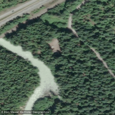
Near the Cheakamus River, the trail intersects with several notable features, including the Bungee Bridge over Cheakamus Canyon and the Cal-Cheak Campground at the confluence of the Cheakamus River and Callaghan Creek.
The route combines singletrack, doubletrack, gravel roads, and pavement, and is open to hikers, runners, and cyclists.
Parking near the Cheakamus River section is available at the Whistler Interpretive Forest trailhead off the Sea to Sky Highway, which sits adjacent to the trail.
Nearby points of interest
Find excellent paddling spots, easy access to boat ramps, and all the amenities you need for a memorable day. Your adventure starts here.
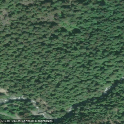
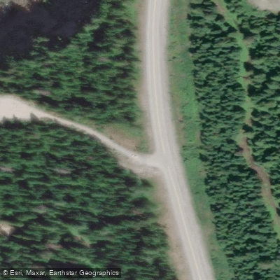
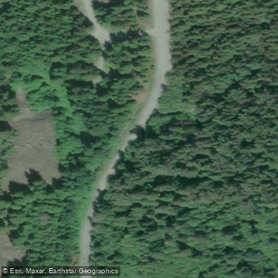
Water and weather conditions (10 day forecast)
Check the forecast at Sea To Sky Trail before you go paddling.
No forecast data available.
Paddling near Sea To Sky Trail







Bc licenses and regulations
Explore Bc waters
Top paddling waters
No waters available right now.
Popular Cities
Loading popular cities...
Explore near Sea To Sky Trail
Nearby spots
Nearby waters
More in Bc

Smarter Paddling Starts in the App.
Paddleways gives you everything you need to plan smarter, paddle better, and own every trip from first launch to takeout.