Sugarloaf Boat Ramp
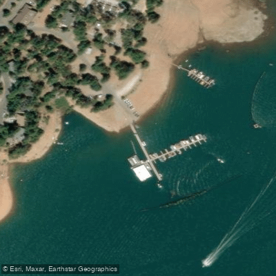
Sugarloaf Boat Ramp
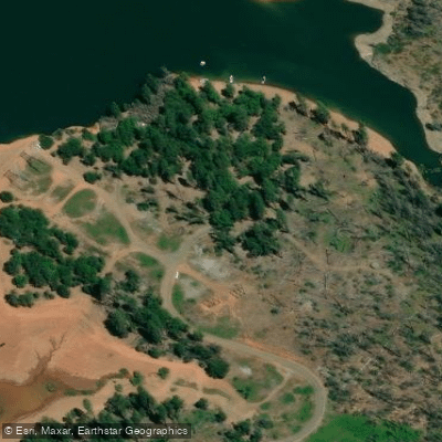
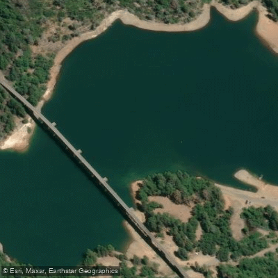
Sugarloaf Public Boat Ramp on Shasta Lake's Upper Sacramento River Arm features 2 launching lanes and becomes the primary access point when lake levels drop below 75 feet (when the Antlers ramp closes).
The ramp is operational down to a 160-foot lake level drawdown and offers day-use access with restrooms available; note that the ramp may close when the parking lot fills or debris creates hazardous launching conditions, particularly in spring months.
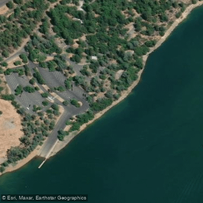
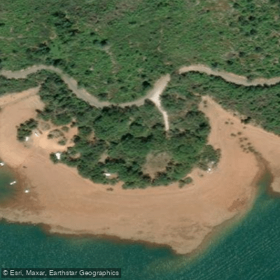
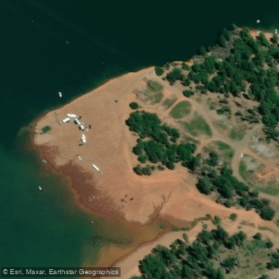
Nearby points of interest
Find excellent paddling spots, easy access to boat ramps, and all the amenities you need for a memorable day. Your adventure starts here.
Water and weather conditions (10 day forecast)
Check the forecast at Sugarloaf Boat Ramp before you go paddling.
No forecast data available.
Paddling near Sugarloaf Boat Ramp

Sacramento River
Trinity River
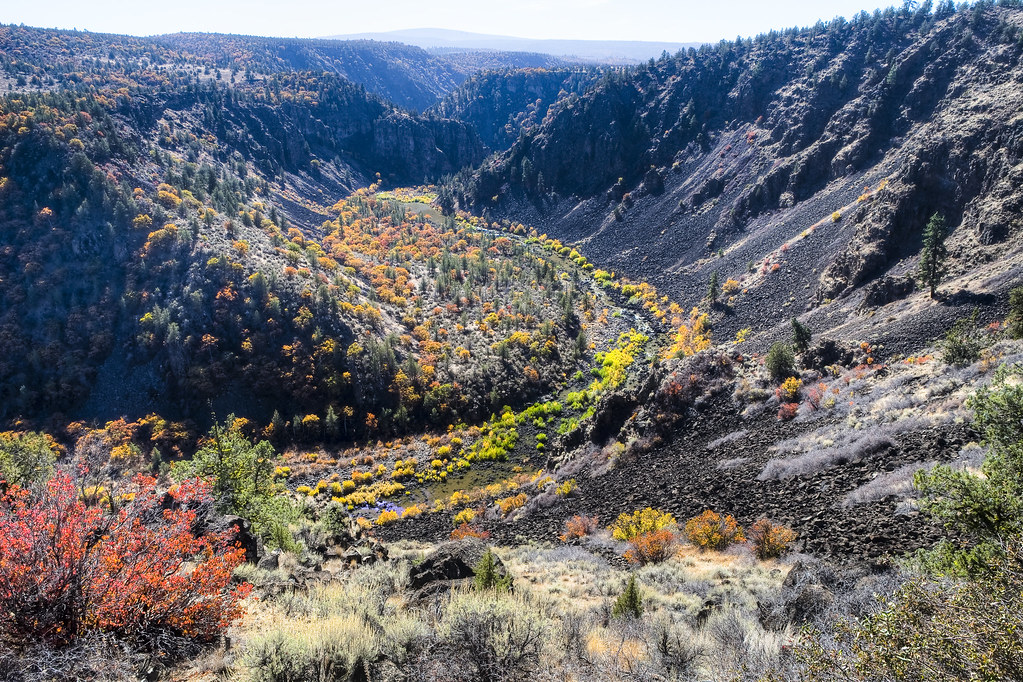
Pit River
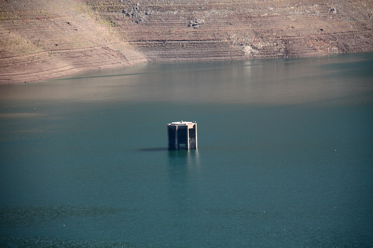
Trinity Lake
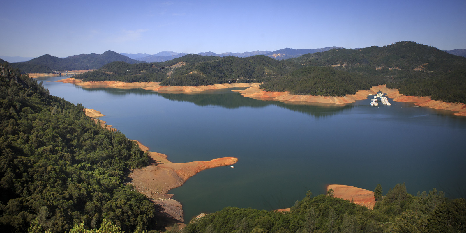
Shasta Lake
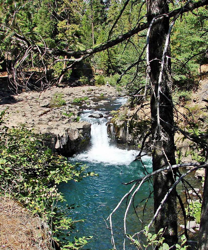
McCloud River
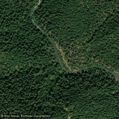
Stuart Fork
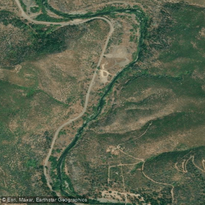
Clear Creek
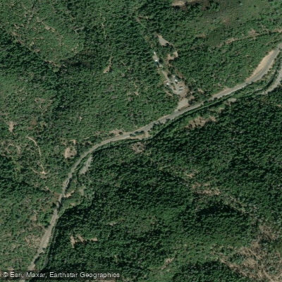
Little Cow Creek
Salt Creek
California licenses and regulations
Explore California waters
Top paddling waters
No waters available right now.
Popular Cities
Loading popular cities...
Explore near Sugarloaf Boat Ramp
Nearby spots
- Antlers Accessible Boat Ramp
- Lakeshore Resort Boat Ramp
- Shasta Lake Antlers Boat Ramp
- Shasta Lake Bailey Cove Boat Ramp
- Shasta Marina Resort Boat Ramp
- Sugarloaf Resort Boat Ramp
- Antlers Access
- Beehive Beach Access
- Gregory Beach Access
- Gregory Creek Access
- Lower Salt Creek Shoreline Access
- Sugarloaf Access
- All 23 nearby spots
Nearby waters
More in California

Smarter Paddling Starts in the App.
Paddleways gives you everything you need to plan smarter, paddle better, and own every trip from first launch to takeout.