Clear Creek
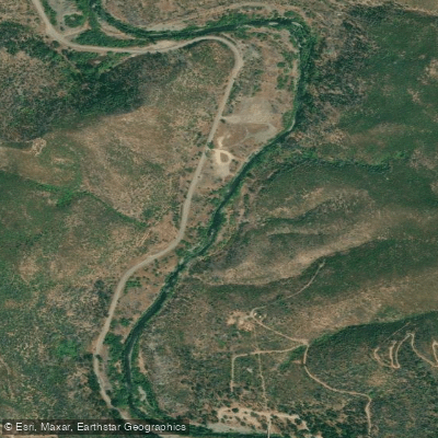
Clear Creek
- Boat Ramps
- 0
- Access Points
- 1
- Campsites
- 11
Clear Creek originates in the Trinity Mountains at approximately 6,000 feet elevation and flows roughly 50 miles southward before joining the Sacramento River about five miles south of Redding, California. The watershed encompasses 249 square miles, with the river's character dramatically divided by Whiskeytown Dam, completed in 1963. Below the dam, the creek flows through 17 miles of varied terrain—from tight bedrock canyons to broader alluvial valleys—before reaching its confluence at 440 feet elevation.
Paddling opportunities span a remarkable spectrum. The section immediately below Whiskeytown Dam (Reach 1) offers Class IV whitewater through confined canyon walls, with limited sediment storage creating technical boulder gardens and bedrock features. This transitions into the steep Reach 2 canyon from Paige Bar to Clear Creek Bridge, where bedrock dominates and pools alternate with cascades. The most accessible paddling lies in Reaches 3 and 4, from Clear Creek Bridge to the Sacramento River, where the gradient mellows and the valley opens. The Lower Clear Creek Floodway Rehabilitation Project has restored significant habitat and paddling opportunities in this lower section.
Skill requirements vary dramatically by reach. The upper canyon sections demand advanced whitewater skills (Class IV-V), while the lower reaches accommodate intermediate paddlers on Class II-III water. The confined upper sections require precise boat control through narrow passages, with limited rescue options. Flows exceeding 3,000-4,000 cfs are necessary to mobilize the channel bed and create optimal paddling conditions in most reaches.
The creek's Mediterranean climate produces high flows from November through March, with occasional spring snowmelt contributions. However, Whiskeytown Dam has reduced the average annual water yield by 62%, from 302,000 to 115,000 acre-feet. Controlled releases maintain minimum flows of 50-100 cfs, though uncontrolled spillway releases during wet years can reach 19,200 cfs.
Clear Creek supports fall-run and late-fall chinook salmon, with winter steelhead and spring-run chinook accessing habitat above the former Saeltzer Dam site (removed in 2000). The riparian corridor features white alder, Fremont cottonwood, and various willow species, with ponderosa pine, madrone, and Douglas fir on canyon slopes. Wildlife includes black-tailed deer, osprey, bald eagles, and northwestern pond turtles.
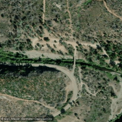
Primary access points include Whiskeytown Dam (RM 17.5), the Igo Gaging Station near old Placer Road (RM 10.0), Clear Creek Bridge (RM 8.4), and multiple Bureau of Land Management access points along Clear Creek Road. The BLM has established a public greenway from Whiskeytown Dam nearly to the Sacramento River confluence, providing exceptional access for an 8-9 mile stretch.
The watershed's gold mining legacy remains visible in extensive dredger tailings throughout the lower reaches. Reading Bar (RM 8.0) was California's second gold discovery site after Sutter's Mill. The creek's name reflects its exceptional water clarity, particularly notable in the canyon sections.
Water access, boat ramps & amenities
Learn how to get on Clear Creek. Uncover great paddling access points, boat ramps, and all the facilities you need for an unforgettable day on the water. Some locations shown may border or include private property. Always check property boundaries and applicable regulations before visiting. PaddleWays's Public & Private Land layer can help you plan your access with confidence.
Paddle smarter with real-time insights
Whether you're en route and conditions shift or you're looking for the best spot based on current flows, we enable you to make informed decisions on the fly.








Find Places to Paddle

Over 400,000 Places to Paddle
Every user gets free access to launch points, boat ramps, and public property parcels.


Water and weather conditions (10 day forecast)
See the best times to paddle Clear Creek and check the forecast before you go.
CLEAR C NR IGO CA
All Flow Stations
Paddling near Clear Creek

Sacramento River
Trinity River
Pit River
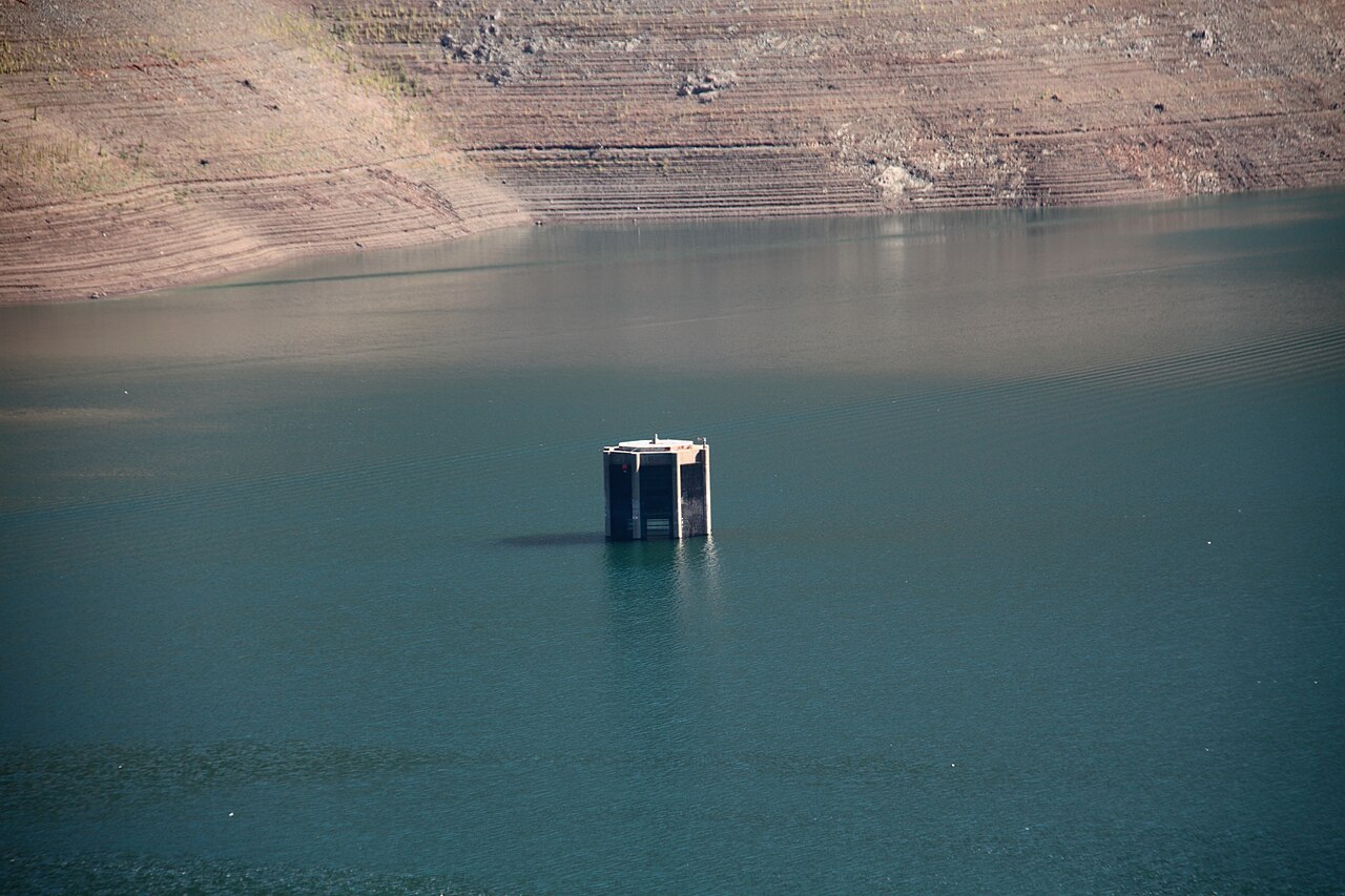
Trinity Lake
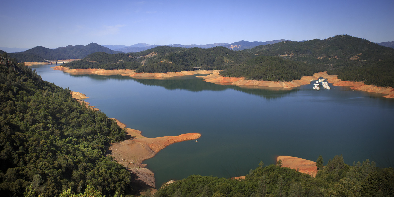
Shasta Lake
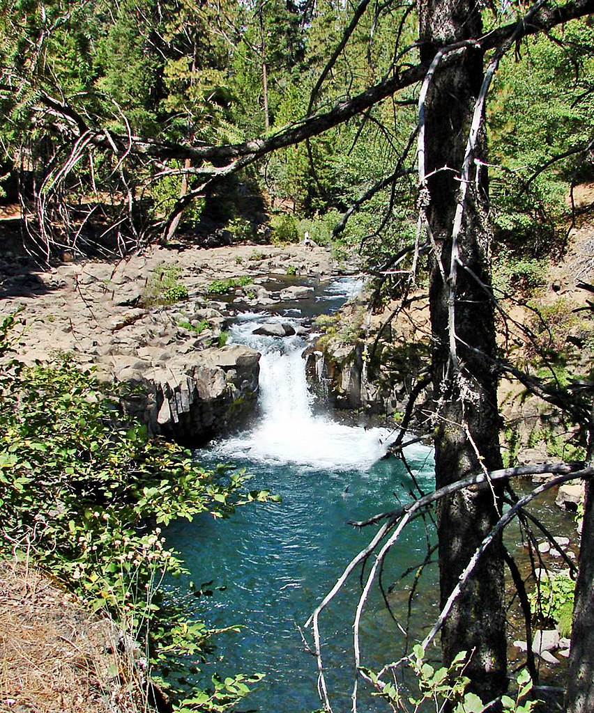
McCloud River
Stuart Fork
Little Cow Creek
Salt Creek
Explore California waters
Top paddling waters
Popular Cities
Loading popular cities...
Explore near Clear Creek
Access points
Nearby waters
More in California

Smarter Paddling Starts in the App.
Paddleways gives you everything you need to plan smarter, paddle better, and own every trip from first launch to takeout.