Stuart Fork
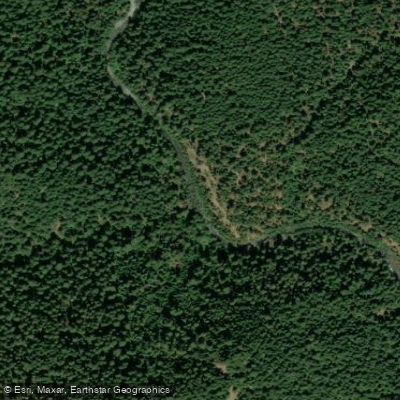
Stuart Fork
- Boat Ramps
- 1
- Access Points
- 4
- Campsites
- 30
The Stuart Fork is a significant tributary of the Trinity River in northern California, originating high in the Trinity Alps Wilderness. This pristine mountain stream flows southwest through deeply carved granite canyons before joining the main Trinity River near Trinity Lake. The upper reaches of Stuart Fork offer a challenging wilderness whitewater experience for expert paddlers.
The Stuart Fork Trinity River Wilderness Run begins with a strenuous 7-mile hike to the put-in at Deer Creek confluence. This Class V section features continuous boulder gardens and a steep 180 feet per mile gradient as it descends through the rugged Trinity Alps. The run provides stunning alpine scenery but demands advanced skills and careful planning due to its remote nature.
Below the wilderness section, the Lower Stuart Fork offers more accessible Class II+ to III- paddling from the Stuart Fork trailhead to Trinity Alps Resort. This 2.6 to 4-mile stretch is suitable for intermediate paddlers, with the option to extend the trip to Trinity Lake via the Stuart Fork Boat Ramp.
The Stuart Fork's flow is primarily snowmelt-driven, with the best paddling typically occurring in late spring and early summer. The river corridor supports diverse flora and fauna, including old-growth conifers, black bears, and potentially endangered species like the northern spotted owl.
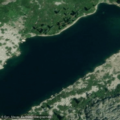
Key landmarks include Morris Meadow, a popular backpacking destination, and the stunning Emerald and Sapphire Lakes near the river's headwaters. The nearest town is Weaverville, where paddlers can obtain wilderness permits.
The Stuart Fork holds cultural significance for indigenous peoples and played a role in the region's gold rush history. Today, it's a cornerstone of the Trinity Alps Wilderness, offering not only paddling but also exceptional hiking and backpacking opportunities.
Safety considerations include the river's remoteness, potential for high water in spring, and the need for bear-aware camping practices. Multi-day trips combining paddling and hiking are possible, allowing adventurers to fully immerse themselves in the pristine wilderness of the Trinity Alps.
Water access, boat ramps & amenities
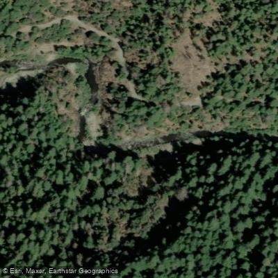
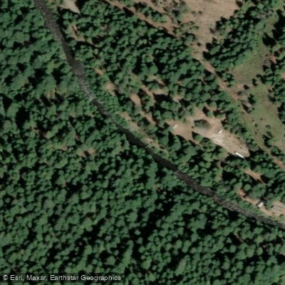
Learn how to get on Stuart Fork. Uncover great paddling access points, boat ramps, and all the facilities you need for an unforgettable day on the water. Some locations shown may border or include private property. Always check property boundaries and applicable regulations before visiting. PaddleWays's Public & Private Land layer can help you plan your access with confidence.
Paddle smarter with real-time insights
Whether you're en route and conditions shift or you're looking for the best spot based on current flows, we enable you to make informed decisions on the fly.








Find Places to Paddle

Over 400,000 Places to Paddle
Every user gets free access to launch points, boat ramps, and public property parcels.


Water and weather conditions (10 day forecast)
See the best times to paddle Stuart Fork and check the forecast before you go.
No forecast data available.
Paddling near Stuart Fork
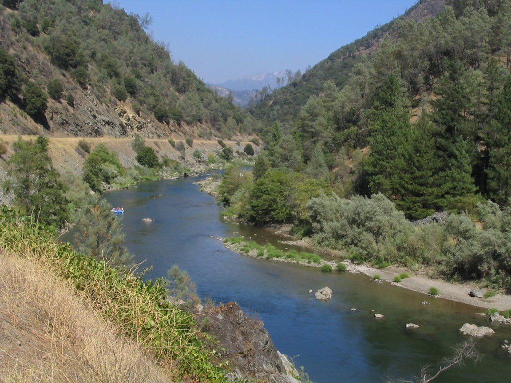
Trinity River

Sacramento River
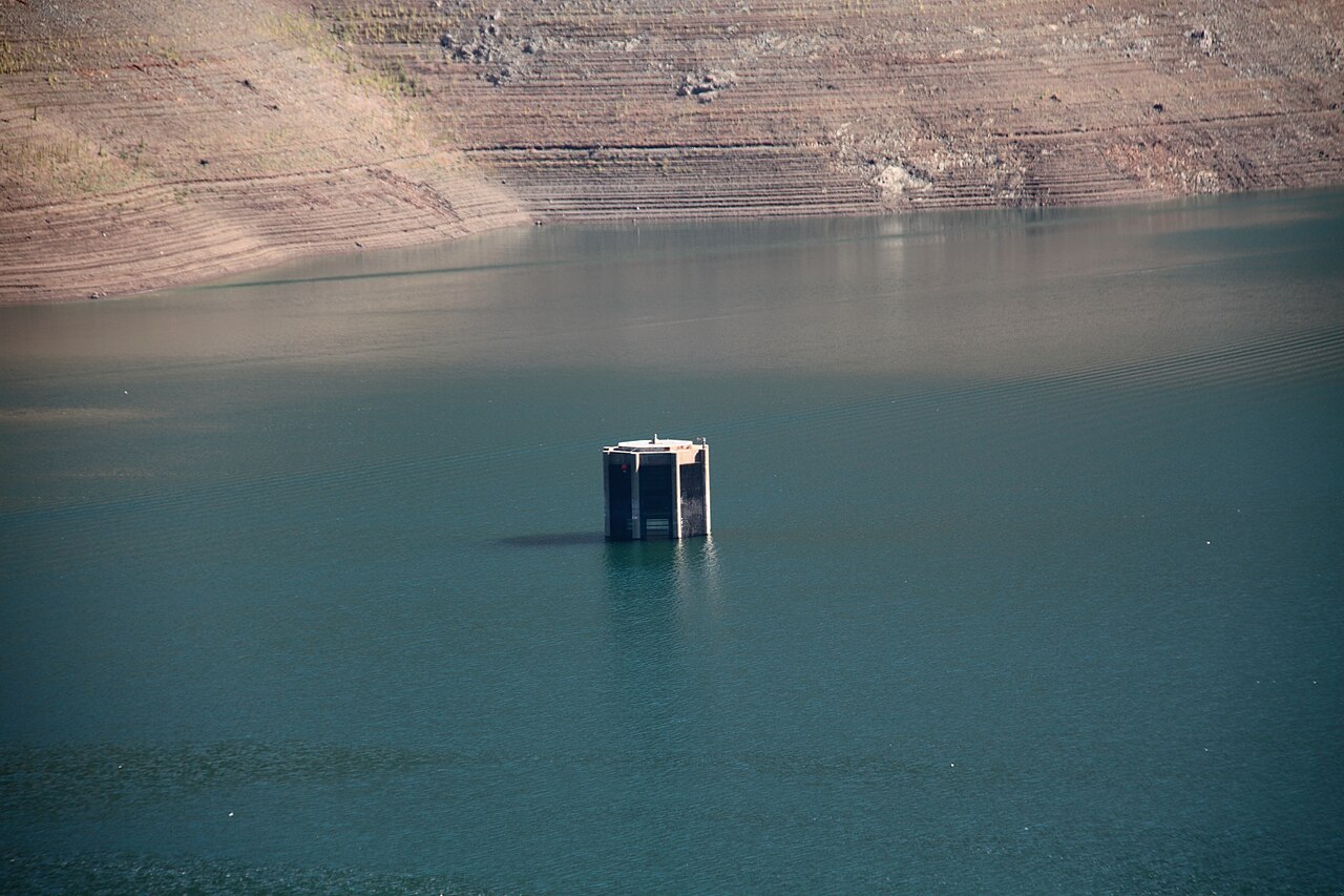
Trinity Lake
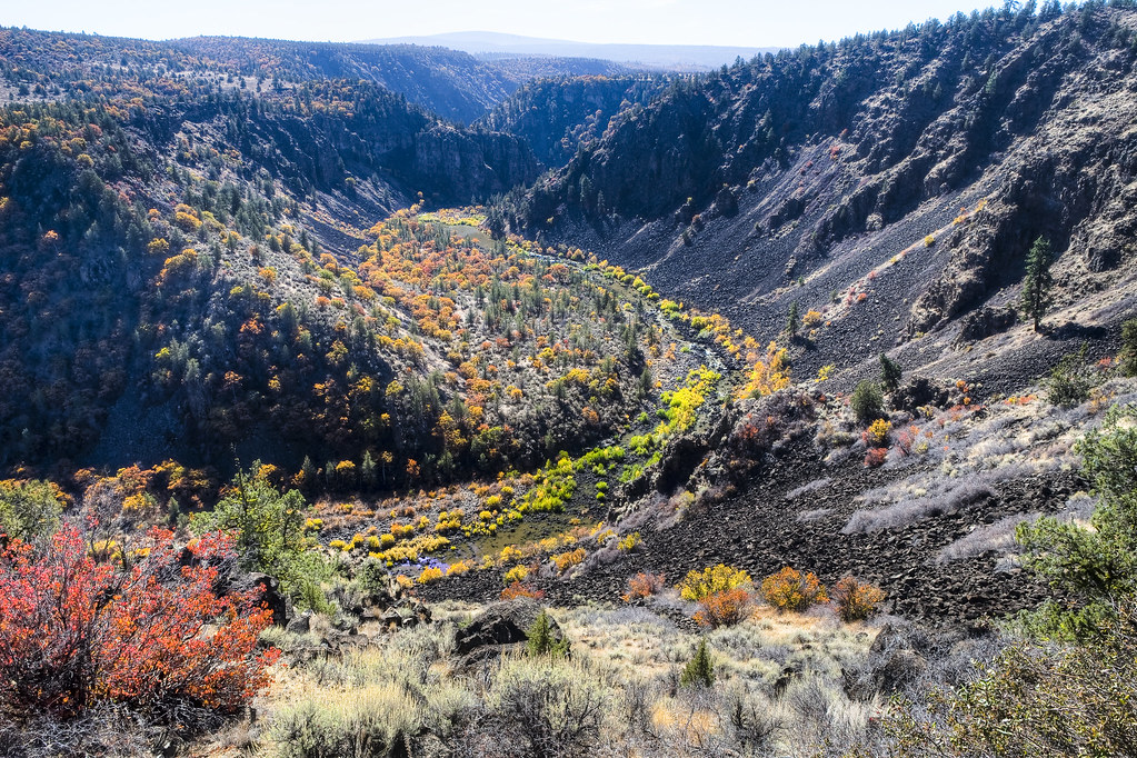
Pit River
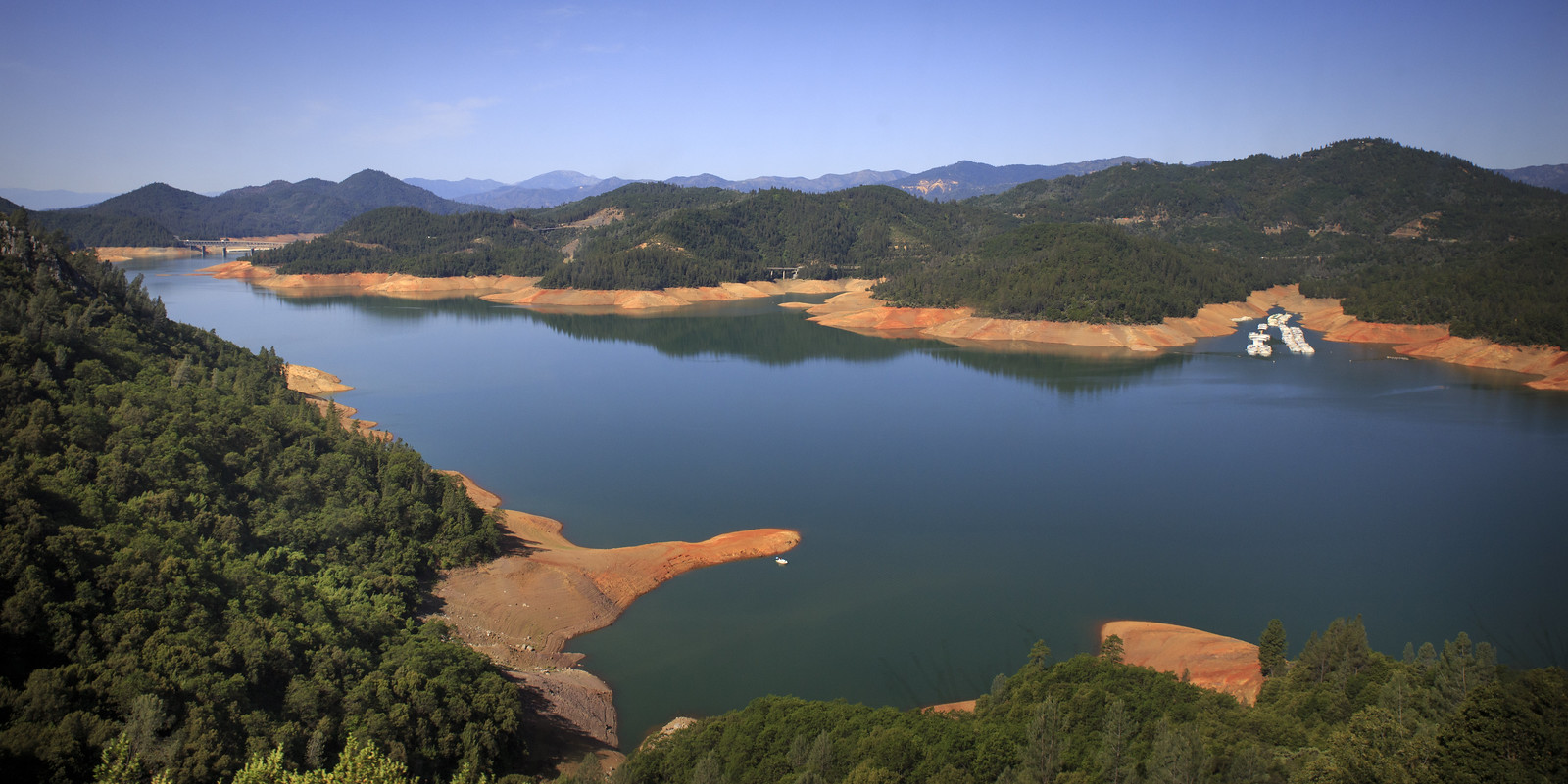
Shasta Lake
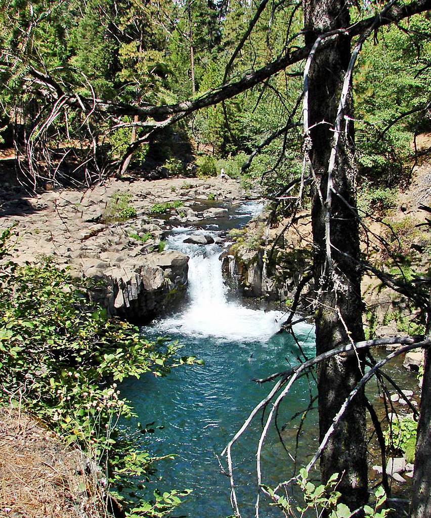
McCloud River

Klamath River
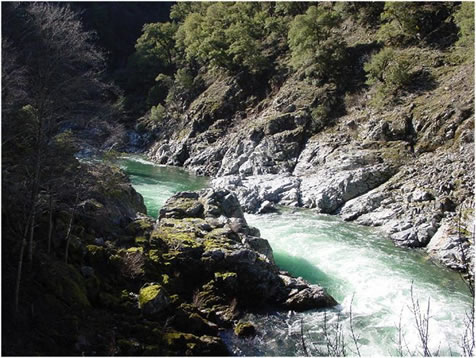
Salmon River
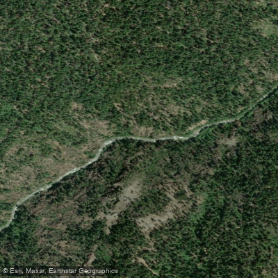
North Fork Trinity River
Explore California waters
Top paddling waters
Popular Cities
Loading popular cities...
Explore near Stuart Fork
Access points
Nearby waters
More in California

Smarter Paddling Starts in the App.
Paddleways gives you everything you need to plan smarter, paddle better, and own every trip from first launch to takeout.