Trinity Lake
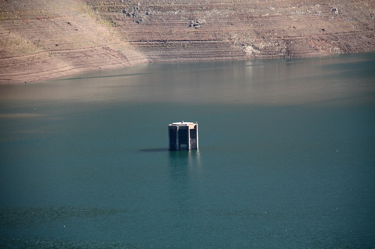
Trinity Lake
- Boat Ramps
- 11
- Access Points
- 12
- Campsites
- 36
Trinity Lake, located in northern California about 1.5 hours from Redding, offers paddlers a scenic experience on the state's third-largest lake. The 145-mile shoreline is marked by numerous coves, providing ample opportunities for exploration. Situated at 2,300 feet elevation in the Shasta-Trinity National Forest, the lake is surrounded by low mountainsides covered in cedar and pine forests, with snowcapped peaks of the Trinity Alps framing the pristine waters.
Paddlers should be aware that lake levels can fluctuate significantly, sometimes several feet per day, exposing hazards such as rocks, fallen trees, and stumps. While some obstacles are marked, many are not. Debris can be a particular concern in winter and spring, with winds tending to push it towards the Fairview and Trinity Center boat ramps. By summer, most debris is typically beached along the shoreline.
The lake is known for its excellent fishing, with species including catfish, kokanee salmon, bass, bluegill, and trout. Wildlife enthusiasts may spot eagles soaring overhead or fishing in the lake. The best time for smallmouth bass fishing is early spring.
Facilities for paddlers include several marinas. Cedar Stock Marina on Stuart Arm and Trinity Center Marina at the north end of the lake offer various services. Trinity Alps Marina, located near the Fairview Public Boat Ramp, provides parking for $5 per day. During summer, floating restrooms are placed at various locations around the lake for boater convenience.
While Trinity Lake is popular for various boating activities, it's particularly well-suited for kayaking, canoeing, and stand-up paddleboarding. The lake's drawn-down water levels can be considerable by the end of the season, which paddlers should factor into their plans. Early mornings are recommended for the best paddling conditions and to enjoy the mountains' reflections on the calm water.
Water access, boat ramps & amenities
Learn how to get on Trinity Lake. Uncover great paddling access points, boat ramps, and all the facilities you need for an unforgettable day on the water. Some locations shown may border or include private property. Always check property boundaries and applicable regulations before visiting. PaddleWays's Public & Private Land layer can help you plan your access with confidence.
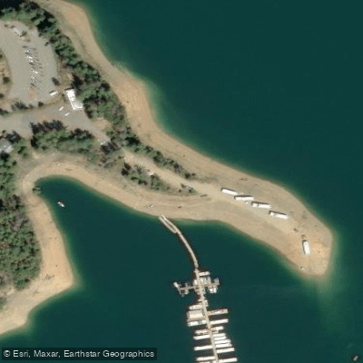
Paddle smarter with real-time insights
Whether you're en route and conditions shift or you're looking for the best spot based on current flows, we enable you to make informed decisions on the fly.








Find Places to Paddle

Over 400,000 Places to Paddle
Every user gets free access to launch points, boat ramps, and public property parcels.


Water and weather conditions (10 day forecast)
See the best times to paddle Trinity Lake and check the forecast before you go.
Trinity Lake Dam and Powerplant
Paddling near Trinity Lake

Sacramento River
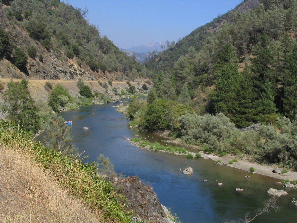
Trinity River
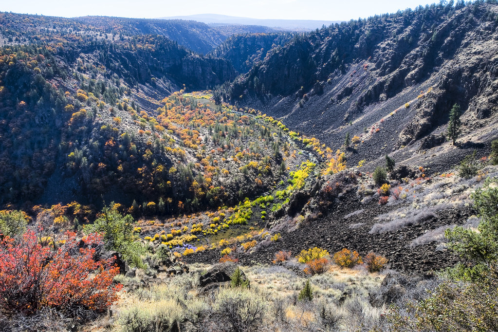
Pit River
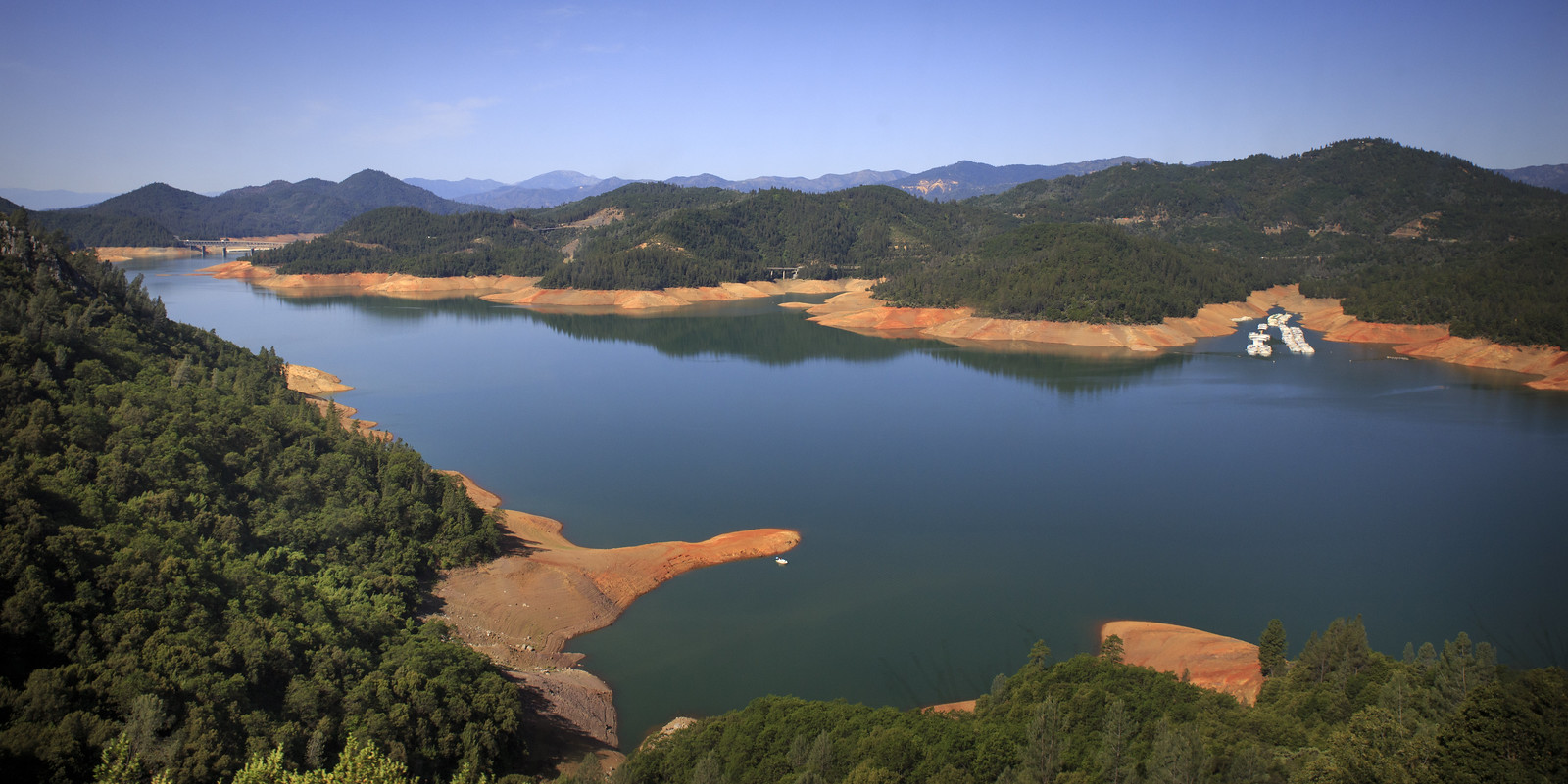
Shasta Lake
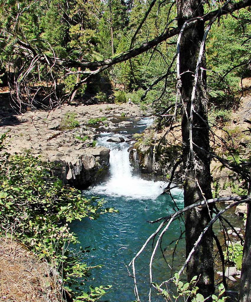
McCloud River
Stuart Fork
Clear Creek
Little Cow Creek
Salt Creek
Explore California waters
Top paddling waters
Popular Cities
Loading popular cities...
Explore near Trinity Lake
Access points
- Trinity Lake National Recreation Area (Minersville Campground) Boat Ramp
- Trinity Lake Boat Ramp
- Trinity Lake Boat Ramp
- Trinity Lake Boat Ramp
- Trinity Alps Fairview Boat Ramp
- Trinity Lake Boat Ramp
- Trinity Lake Resort Boat Ramp
- Pinewood Cove Resort Boat Ramp
- Trinity Lake KOA Boat Ramp
- Estrellita Marina RV Park Boat Ramp
- Trinity Lake Boat Ramp
- Clair Engle Lake Access
- All 58 spots
Nearby waters
More in California

Smarter Paddling Starts in the App.
Paddleways gives you everything you need to plan smarter, paddle better, and own every trip from first launch to takeout.