Shasta Lake
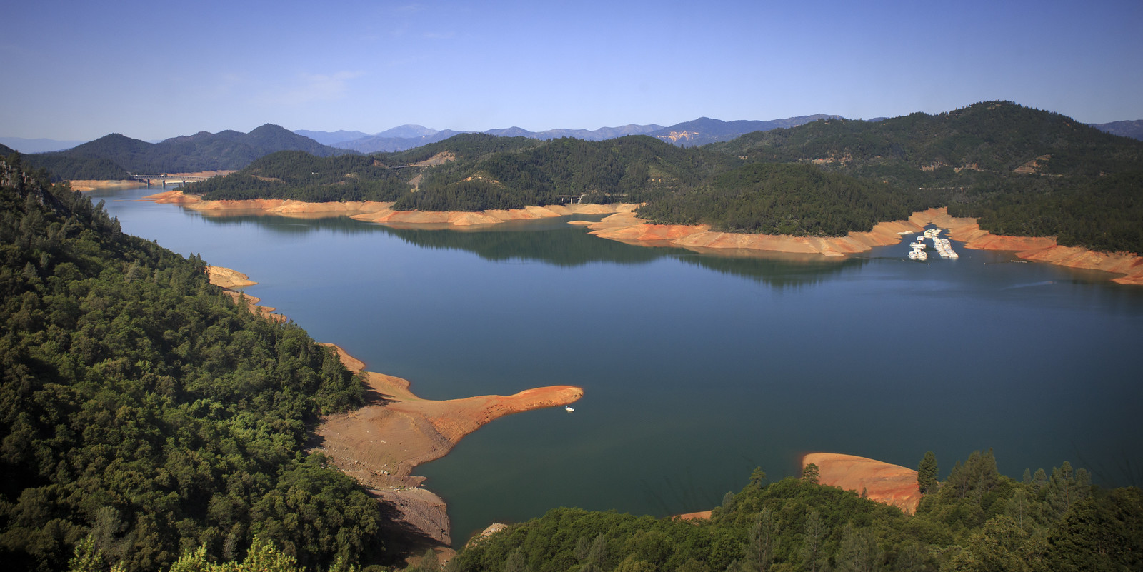
Shasta Lake
- Boat Ramps
- 11
- Access Points
- 18
- Campsites
- 26
Shasta Lake in Northern California offers paddlers 370 miles of shoreline to explore. The lake's unique "fingers" or inlets create numerous coves and secluded areas, ideal for kayakers seeking to avoid boat wakes while remaining close to shore. Popular access points include Digger Bay Marina, Bridge Bay Marina, Silverthorn Marina, and Shasta Marina, all of which offer kayak rentals.
The lake is a hub for water sports and recreation, with motorboats being common, so paddlers should exercise caution and be aware of boat traffic. For a more adventurous experience, kayakers can paddle to Little Backbone Creek natural waterslide. The lake provides stunning views of Mount Shasta, particularly beautiful at sunrise when the snow-capped peak reflects on the water.
Shasta Lake's vast size allows for extended exploration, with paddlers able to spend hours discovering new areas. The lake is suitable for year-round paddling, though summer likely offers the warmest conditions. Wildlife viewing opportunities abound, with the forested shoreline providing habitat for various species.
Facilities at the marinas cater to paddlers' needs, offering rentals and likely amenities such as restrooms and parking. When planning a trip, paddlers should be prepared with personal flotation devices, as required by California law, as well as sunscreen, water, and snacks.
The lake's man-made origin and massive size make it a landmark in the region, offering a mix of recreational opportunities alongside its role in water management. Its proximity to Redding makes it a popular destination for both locals and visitors seeking a paddling adventure in Northern California's scenic landscape.
Water access, boat ramps & amenities
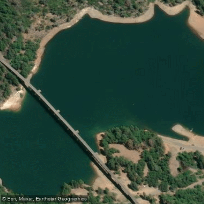
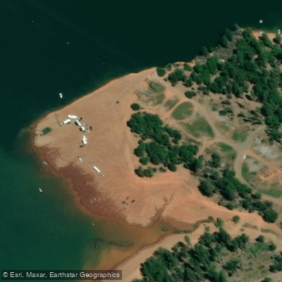
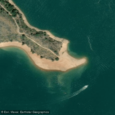
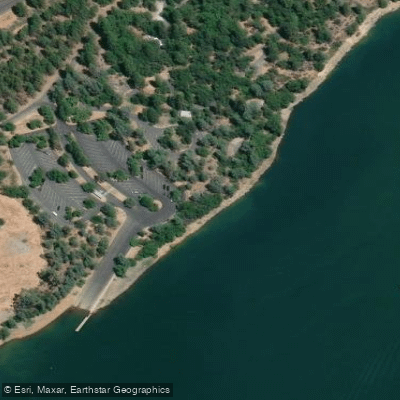
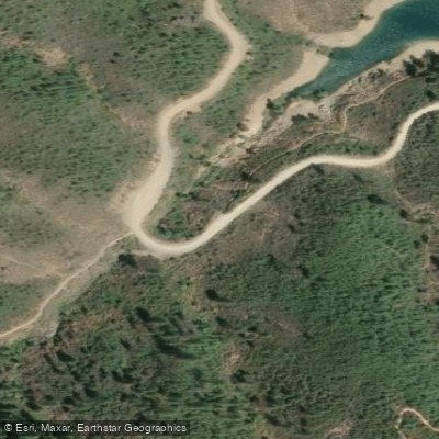
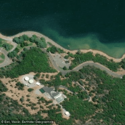
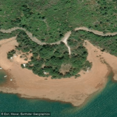
Learn how to get on Shasta Lake. Uncover great paddling access points, boat ramps, and all the facilities you need for an unforgettable day on the water. Some locations shown may border or include private property. Always check property boundaries and applicable regulations before visiting. PaddleWays's Public & Private Land layer can help you plan your access with confidence.
Paddle smarter with real-time insights
Whether you're en route and conditions shift or you're looking for the best spot based on current flows, we enable you to make informed decisions on the fly.








Find Places to Paddle

Over 400,000 Places to Paddle
Every user gets free access to launch points, boat ramps, and public property parcels.


Water and weather conditions (10 day forecast)
See the best times to paddle Shasta Lake and check the forecast before you go.
Shasta Lake Dam and Powerplant
Paddling near Shasta Lake

Sacramento River
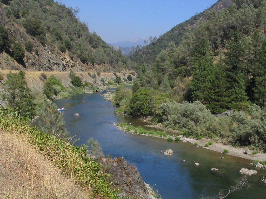
Trinity River
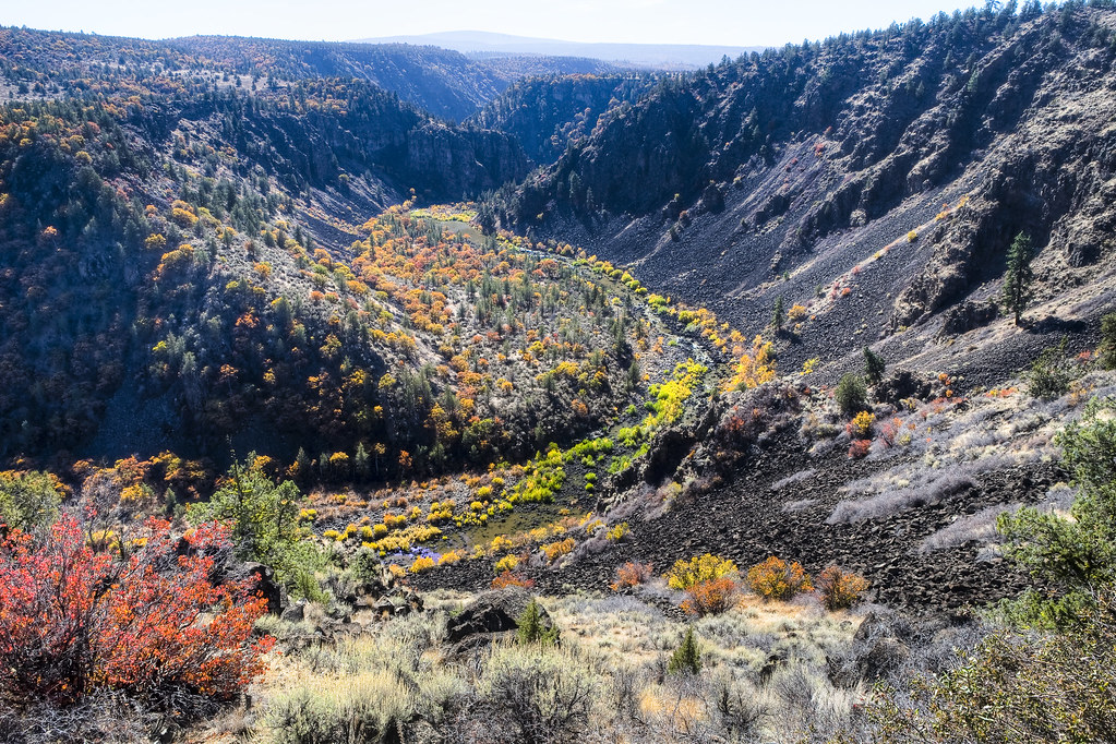
Pit River
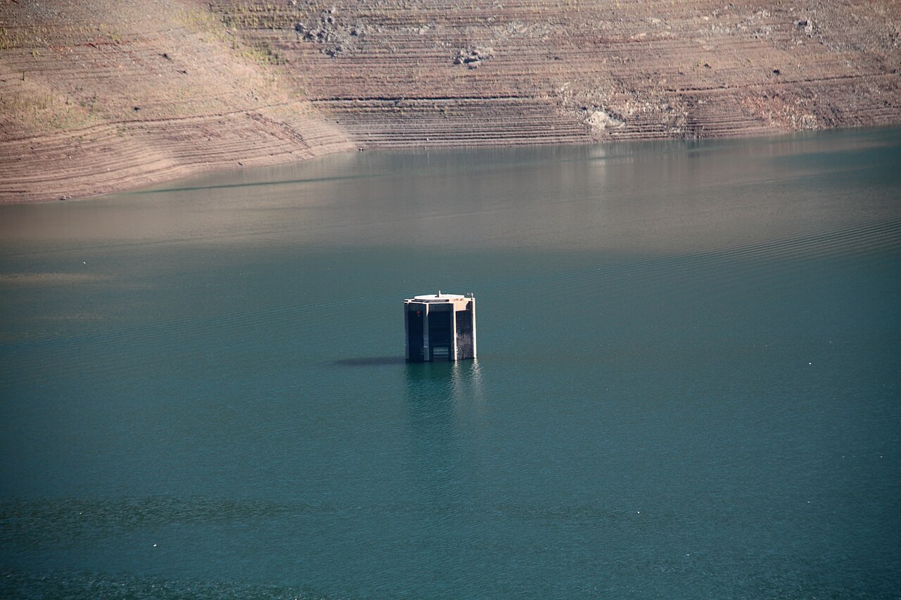
Trinity Lake
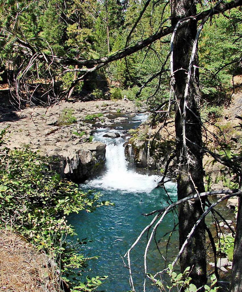
McCloud River
Stuart Fork
Clear Creek
Little Cow Creek
Salt Creek
Explore California waters
Top paddling waters
Popular Cities
Loading popular cities...
Explore near Shasta Lake
Access points
- Centimundi Public Boat Ramp
- Shasta Lake Antlers Boat Ramp
- Digger Bay Marina Boat Ramp
- Digger Bay Marina Boat Ramp
- Sugarloaf Resort Boat Ramp
- Shasta Marina Resort Boat Ramp
- Centimundi Accessible Boat Ramp
- Sugarloaf Boat Ramp
- Lakeshore Resort Boat Ramp
- Antlers Accessible Boat Ramp
- Centimudi Boat Ramp
- Lower Salt Creek Shoreline Access
- All 75 spots
Nearby waters
More in California

Smarter Paddling Starts in the App.
Paddleways gives you everything you need to plan smarter, paddle better, and own every trip from first launch to takeout.