Salt Creek
Salt Creek
- Boat Ramps
- 0
- Access Points
- 1
- Campsites
- 31
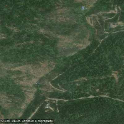
Salt Creek originates in the gently rolling terrain near the intersection of Swasey and Lower Springs Roads in western Shasta County, flowing approximately three miles from southwest to northeast before joining the Sacramento River near Lakehead, roughly 25 miles north of Redding. This tributary drains approximately 2,780 acres within the Shasta West Watershed and forms part of the Sacramento Arm of Shasta Lake when reservoir levels are high.
The creek's character transitions notably along its length. The upper reaches above Highway 299 feature broader floodplain areas with significant sediment depositional zones, while the lower half between Highway 299 and the Sacramento River becomes more confined. The channel is primarily alluvial with some bedrock features, transporting fine to medium coarse sediment with maximum particle sizes reaching one foot in diameter. During average water years, Salt Creek typically flows from October through June, going dry in the summer months, though groundwater seepage may maintain minimal flows in some sections.
Salt Creek supports spawning runs of rainbow trout, steelhead, and salmon, making it an ecologically significant tributary despite its small size. The riparian corridor provides critical habitat within an increasingly urbanized landscape, with vegetation including valley oak, interior live oak, and various willow species. Blue oak-foothill pine woodland dominates the surrounding hillsides, transitioning to mixed chaparral in steeper terrain.
The creek flows through a landscape shaped by historic copper mining and more recent residential development. The Swasey Sediment Basin, located near Swasey Drive approximately a quarter-mile upstream from Highway 299, was constructed to capture sediment from erosion in the upper watershed. This concrete dam and reservoir system has been cleaned out multiple times since 1997 to maintain its effectiveness in protecting downstream spawning habitat.
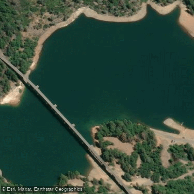
Salt Creek Resort operates on the creek's lower reach, offering cabins and RV sites with direct access to the water. The resort area represents one of the few developed recreational access points, situated where the creek enters the no-wake zone of the Sacramento Arm. When Shasta Lake levels are sufficient, the lower portions of Salt Creek Inlet provide calm water suitable for kayaking, paddle boarding, and fishing, though access depends entirely on reservoir elevation.
Water quality concerns center on sediment loading from the watershed's erodible granitic soils and storm water runoff from developing areas. The creek's contribution to overall spawning and rearing habitat for anadromous fish in the northern Sacramento River system is considered significant, despite limited comprehensive study of its fisheries resources.
Water access, boat ramps & amenities
Learn how to get on Salt Creek. Uncover great paddling access points, boat ramps, and all the facilities you need for an unforgettable day on the water. Some locations shown may border or include private property. Always check property boundaries and applicable regulations before visiting. PaddleWays's Public & Private Land layer can help you plan your access with confidence.
Paddle smarter with real-time insights
Whether you're en route and conditions shift or you're looking for the best spot based on current flows, we enable you to make informed decisions on the fly.








Find Places to Paddle

Over 400,000 Places to Paddle
Every user gets free access to launch points, boat ramps, and public property parcels.


Water and weather conditions (10 day forecast)
See the best times to paddle Salt Creek and check the forecast before you go.
No forecast data available.
Paddling near Salt Creek

Sacramento River
Trinity River
Pit River
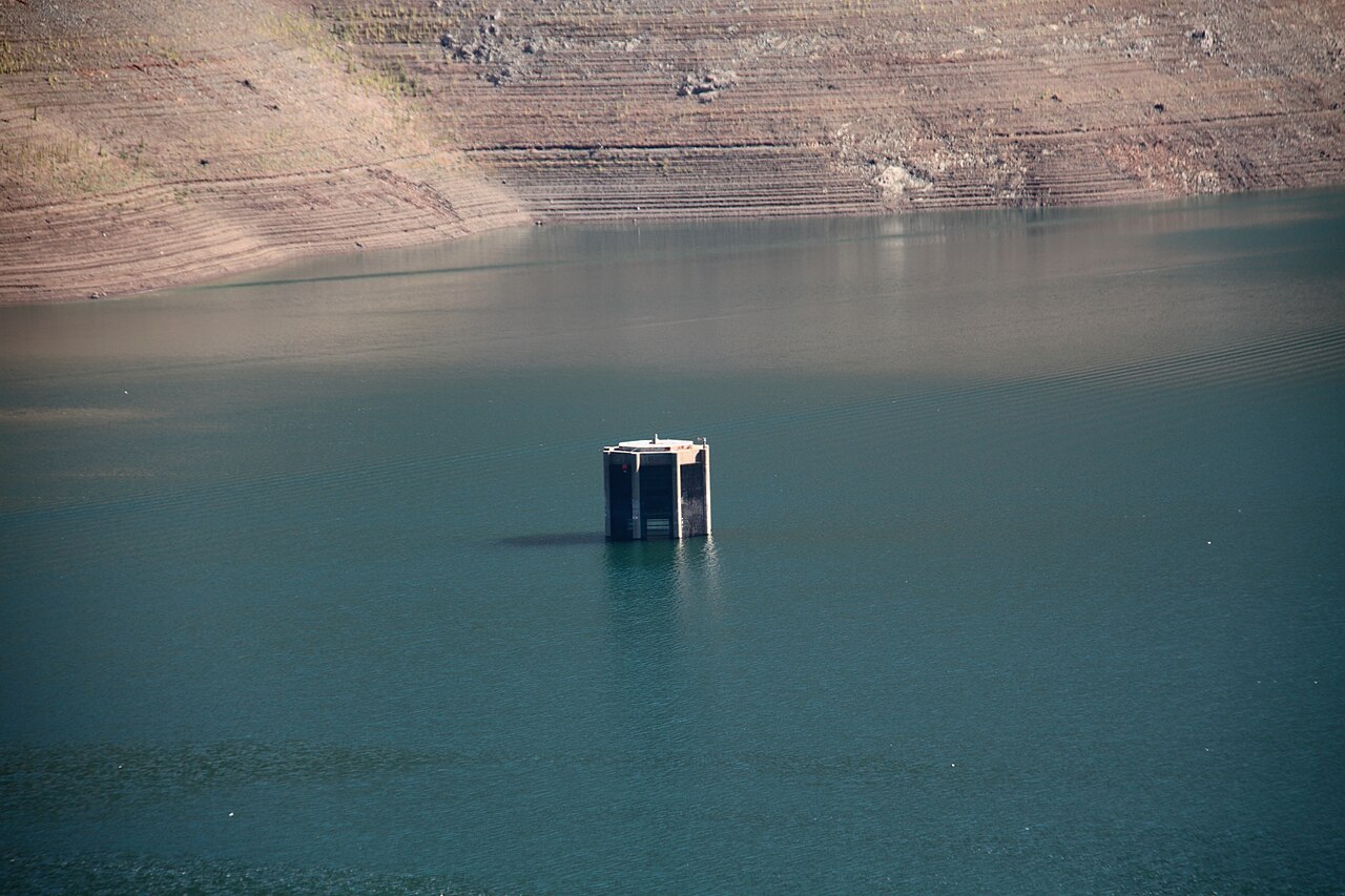
Trinity Lake
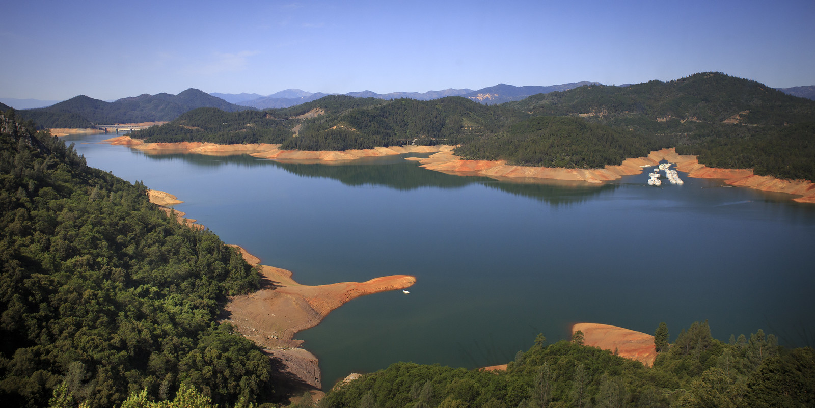
Shasta Lake
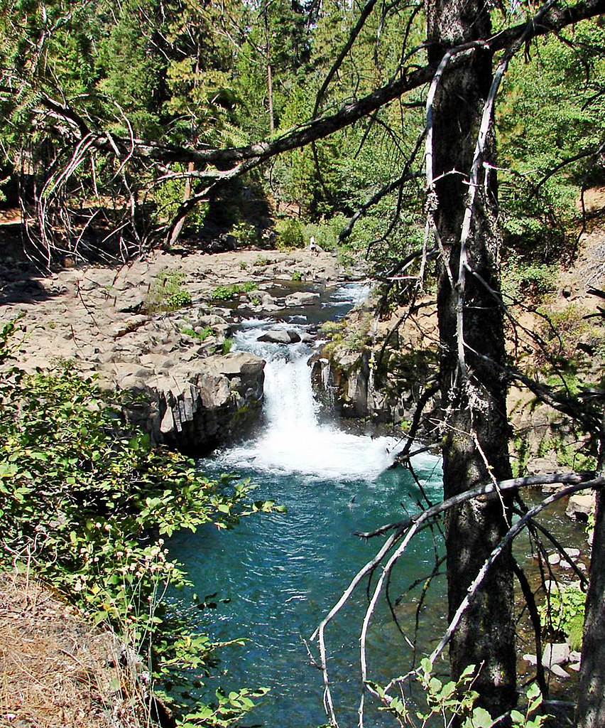
McCloud River
Stuart Fork
Clear Creek
Little Cow Creek
Explore California waters
Top paddling waters
Popular Cities
Loading popular cities...
Explore near Salt Creek
Access points
- Lower Salt Creek Shoreline Access
- Salt Creek Bridge
- Antlers Bridge
- Mccloud River Shasta Lake Bridge
- Nosoni Creek Bridge
- Eye Creek Bridge
- Nelson Point Campground
- Nelson Point Campground
- Salt Creek Point Dispersed Campground
- Lakeshore East Campground
- Lakeshore East Campground
- Lakeshore East Campground
- All 38 spots
Nearby waters
More in California

Smarter Paddling Starts in the App.
Paddleways gives you everything you need to plan smarter, paddle better, and own every trip from first launch to takeout.