Cottonwood Creek
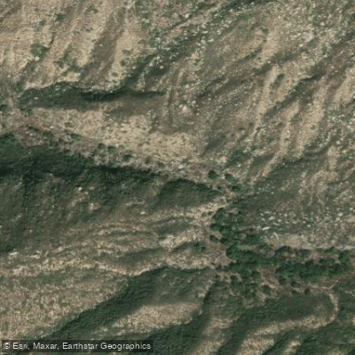
Cottonwood Creek
- Boat Ramps
- 0
- Access Points
- 2
- Campsites
- 21
Cottonwood Creek originates in the Laguna Mountains of eastern San Diego County, flowing westward through the Cleveland National Forest before emptying into the Tijuana River watershed. The creek drains a significant portion of the upper watershed, with its headwaters near Cuyapaipe Peak at elevations approaching 6,400 feet. Major tributaries include Kitchen Creek, Long Canyon Creek, and Troy Canyon Creek, all converging in the rugged terrain above Morena Reservoir.
The creek's hydrology follows a Mediterranean pattern, with peak flows occurring between December and March during winter storm events. Summer flows are minimal to nonexistent in many reaches, though some perennial sections persist in the upper watershed fed by springs and snowmelt. Lake Morena, created by damming Cottonwood Creek, serves as a major recreational feature and water storage facility at approximately 3,000 feet elevation.
The watershed encompasses diverse ecological zones ranging from chaparral and oak woodland at lower elevations to mixed conifer and Jeffrey pine forests in the higher reaches. Wildlife includes mule deer, mountain lions, golden eagles, and various reptile species adapted to the region's arid conditions. The creek historically supported populations of rainbow trout in its upper sections, though fish presence varies seasonally with water availability.
Access to Cottonwood Creek is primarily through the Cleveland National Forest road network and Lake Morena County Park, located near the community of Campo. The Pacific Crest Trail crosses the watershed, providing hiking access to remote sections. Old Highway 80 parallels portions of the drainage, connecting to the communities of Pine Valley and Boulevard.
The area holds significance for the Kumeyaay people, who inhabited these mountains for thousands of years. Evidence of their presence includes grinding stones and village sites near reliable water sources. During the late 19th and early 20th centuries, the region supported ranching operations, with remnants of this era visible in old corrals and fence lines.
Safety considerations include extreme heat during summer months, limited water availability, flash flood potential during storms, and the presence of rattlesnakes. The remote nature of much of the watershed means self-sufficiency is essential. Fire restrictions typically apply during dry seasons, and wilderness permits may be required for overnight camping in certain areas.
The creek's flow characteristics and seasonal variability make it unsuitable for most paddling activities. The upper watershed consists primarily of steep, rocky channels with insufficient water volume outside of major storm events. Below Morena Reservoir, flows are controlled by dam releases and are generally too shallow for navigation.
Water access, boat ramps & amenities
Learn how to get on Cottonwood Creek. Uncover great paddling access points, boat ramps, and all the facilities you need for an unforgettable day on the water. Some locations shown may border or include private property. Always check property boundaries and applicable regulations before visiting. PaddleWays's Public & Private Land layer can help you plan your access with confidence.
Paddle smarter with real-time insights
Whether you're en route and conditions shift or you're looking for the best spot based on current flows, we enable you to make informed decisions on the fly.








Find Places to Paddle

Over 400,000 Places to Paddle
Every user gets free access to launch points, boat ramps, and public property parcels.


Water and weather conditions (10 day forecast)
See the best times to paddle Cottonwood Creek and check the forecast before you go.
No forecast data available.
Paddling near Cottonwood Creek
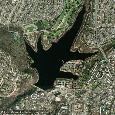
Murray Reservoir
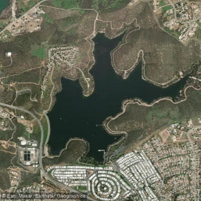
Lake Jennings
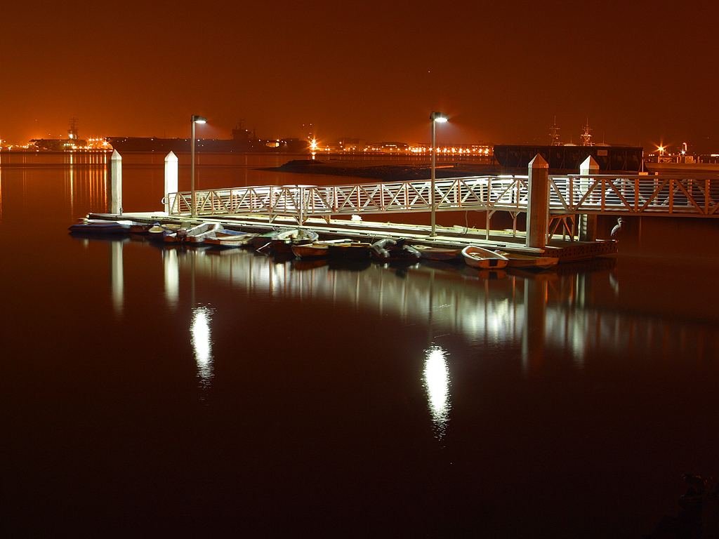
San Diego Bay
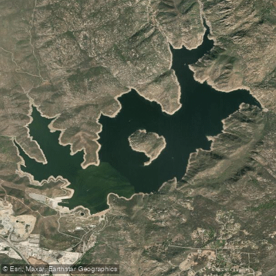
San Vicente Reservoir
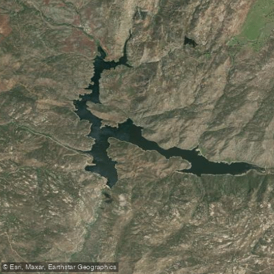
Barrett Lake
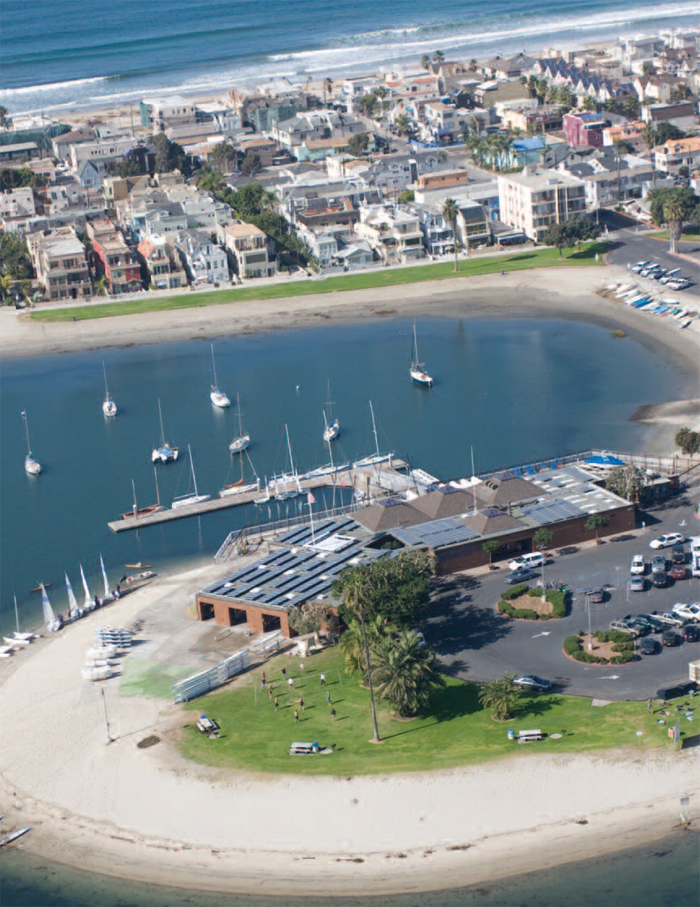
Mission Bay
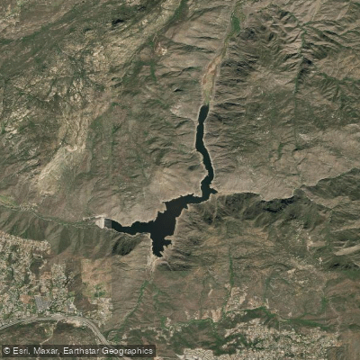
El Capitan Lake
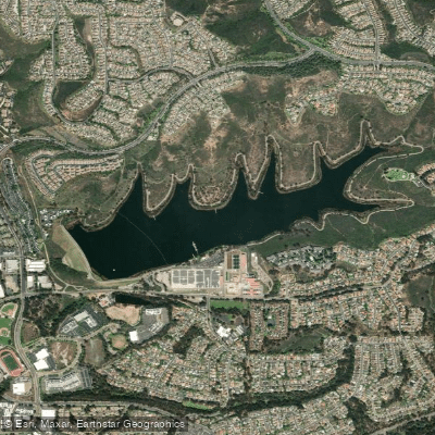
Lake Miramar
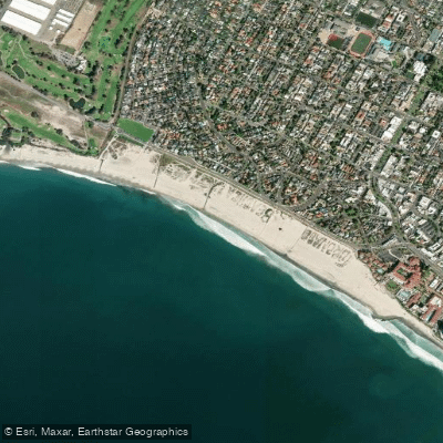
Coronado Beach
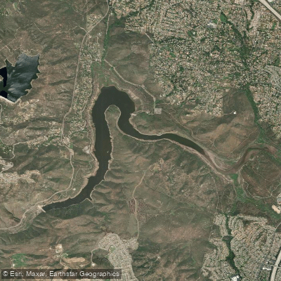
Lake Hodges
Explore California waters
Top paddling waters
Popular Cities
Loading popular cities...
Explore near Cottonwood Creek
Access points
Nearby waters
More in California

Smarter Paddling Starts in the App.
Paddleways gives you everything you need to plan smarter, paddle better, and own every trip from first launch to takeout.