Curated by PaddleWays
RouteClass III–IV
- Distance
- 5.1 mi
- Paddle time
- ~1.5 hrs
- Best for
- Experienced paddlers
- Put-in → take-out
- Questhaven Access → Rancho Santa Fe Access
Continuous technical whitewater throughout the run
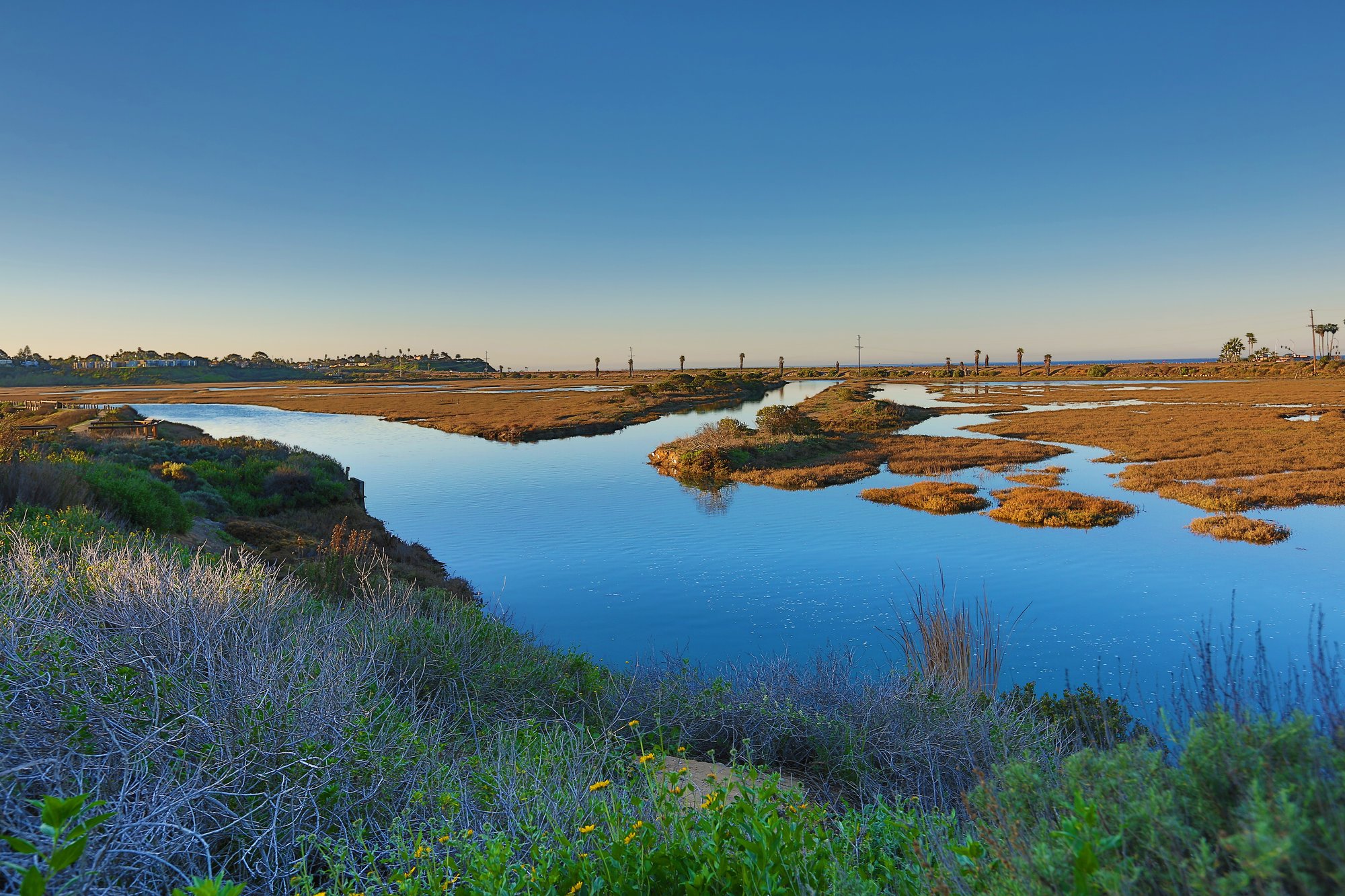
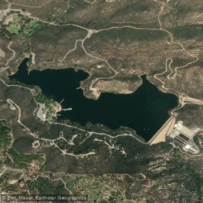
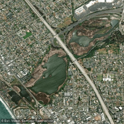
Escondido Creek is a scenic waterway located in San Diego County, California. The creek originates in the hills near Lake Wohlford and flows westward for approximately 26 miles before emptying into the San Elijo Lagoon and ultimately the Pacific Ocean. This urban stream passes through the city of Escondido, as well as the communities of Harmony Grove, Elfin Forest, Olivenhain, and Rancho Santa Fe.
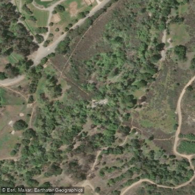
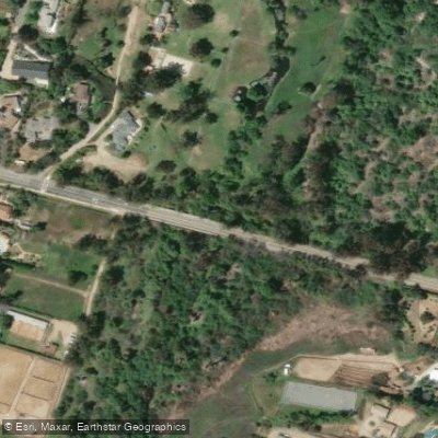
The creek offers diverse paddling opportunities, with its most notable section being the 6.6-mile Escondido Creek Whitewater Run through San Elijo Canyon. This challenging Class III-IV stretch begins near Questhaven Road and ends near Rancho Santa Fe Road, providing experienced paddlers with continuous technical whitewater amidst a picturesque landscape of dense trees and rocky terrain. Downstream from the whitewater section, the creek transitions to a more relaxed paddling experience as it flows through the Elfin Forest Preserve. Here, paddlers can enjoy a mix of open waterways and tunneled sections, offering a unique exploration opportunity. The surrounding area is known for its excellent birding, making it a draw for nature enthusiasts.
The difficulty of Escondido Creek varies significantly, ranging from the demanding Class III-IV whitewater in the upper section to calmer flatwater stretches in the lower reaches. Paddlers should possess appropriate skills and equipment for the section they intend to navigate. While specific seasonal patterns are not detailed, it's advisable to check local conditions and water levels before paddling, especially for the whitewater section. The creek's flow can be influenced by rainfall and urban runoff, potentially affecting paddling conditions throughout the year.
Access points for Escondido Creek include the put-in near Questhaven Road for the whitewater run, and various entry points within the Elfin Forest Preserve for the lower sections. The nearby communities of Escondido and San Marcos provide convenient bases for paddlers exploring the creek.
Safety considerations are paramount, particularly for the whitewater section. Paddlers should be prepared with proper safety equipment, knowledge of self-rescue techniques, and awareness of potential hazards such as strainers or low-head dams. It's also important to respect private property along the creek's course and adhere to any local regulations or access restrictions.
The Escondido Creek watershed plays a crucial role in the local ecosystem and has been the focus of conservation efforts. The Escondido Creek Conservancy works to protect and restore the creek and its surrounding habitats, highlighting the waterway's ecological significance to the region. While multi-day trips are not typical on Escondido Creek due to its length, the variety of paddling experiences available - from thrilling whitewater to peaceful nature observation - make it a valuable resource for both local paddlers and visitors to San Diego County.
Curated routes
Hand-picked by the PaddleWays team, with put-ins, take-outs, paddle times and the hazards along the way.
RouteClass III–IV
Hazards
No paddler has reported a hazard here yet, so these are the dams, falls and big rapids on our map. Hazards change with flows and storms, so check them before you launch.
From the community
Nobody has shared a trip on Escondido Creek yet. Paddle it, then tell the next paddler how it went.
See exactly where the public can get on and off the river. Launch points and boat ramps are paired with PaddleWays' public land data so you know where you can legally land.
Public shoreline
39%of the river's shoreline is public
Most of the riverbank is private. Launch, land and camp only at public access points.
Flows, weather and a route-by-route verdict, so you know which stretch of the Escondido Creek is worth paddling today.
No forecast data available.
Live flows, marked hazards and fresh trip reports from paddlers who were just on the water, all in one place.





Every user gets free access to launch points, boat ramps, and public property parcels.

Loading popular cities...
PaddleWays gives you everything you need to plan smarter, paddle better, and own every trip from first launch to takeout.