Estero Bay
- Saltwater
- Bay
Estero Bay
- Saltwater
- Bay
- Sq. miles
- 33
- Boat Ramps
- 0
- Access Points
- 3
- Campsites
- 13
Estero Bay is a large, open coastal bay in southwest Florida, characterized by shallow, clear saltwater and extensive mangrove shorelines. The bay is a designated paddling trail, with the nine-mile route considered suitable for intermediate paddlers comfortable with open water conditions. The primary paddling experience involves navigating from the sheltered tributaries into the exposed bay, where wind can be a significant factor. The bay's western side is bordered by barrier islands, including Lovers Key State Park and Big Hickory Island, which provide some protection but also create long, open fetches where wind-driven waves can build.
Key launch points for accessing the bay include the Estero River via Estero River Outfitters or Koreshan State Park, and the Imperial River via Riverside Park, Depot Park, or the Imperial Boat Ramp in Bonita Springs. From Koreshan State Park, it is approximately 4.5 miles down the Estero River to reach the bay. The bay itself offers a mix of environments, from the maze-like mangrove tunnels and backwaters of Hell Peckney Bay, which are sheltered from boat traffic, to open crossings to destinations like Mound Key, an archaeological island located about 4.5 miles west of Koreshan. Paddlers must be prepared for powerboat traffic, especially near channels and passes, and should exercise caution when crossing these busier waterways. The Estero River, while a beginner-friendly spring-fed tidal river, has noted safety concerns regarding boat traffic once it approaches the bay near the West Bay Club area.
Tidal currents are a primary consideration for trip planning, as the bay and its tributaries are tidal. Guided tours and rental operations schedule departures around tidal conditions. Paddling against a strong tidal current, especially when combined with wind, can be challenging. The water is generally clear and shallow in many areas, allowing for visibility of marine life like starfish and sand dollars. Wildlife sightings commonly include dolphins, manatees, and a wide variety of birds. The area has historical significance, featuring sites like the Koreshan State Historic Site and the Calusa shell middens on Mound Key. Facilities are available at state parks and local outfitters, which offer rentals, launches, and guided trips. For a first venture into the complex mangrove backwaters, joining a guided tour is recommended.
Water access, boat ramps & amenities
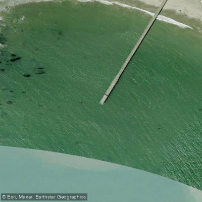
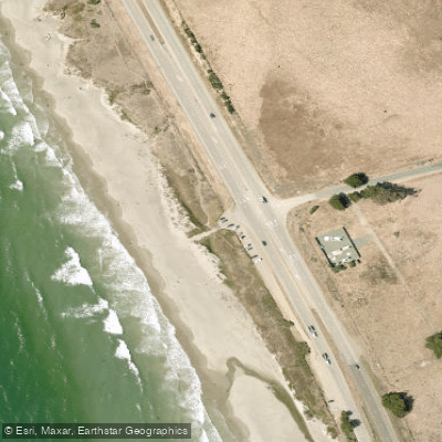
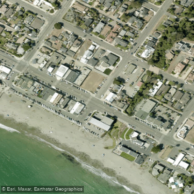
Learn how to get on Estero Bay. Uncover great paddling access points, boat ramps, and all the facilities you need for an unforgettable day on the water. Some locations shown may border or include private property. Always check property boundaries and applicable regulations before visiting. PaddleWays's Public & Private Land layer can help you plan your access with confidence.
Paddle smarter with real-time insights
Whether you're en route and conditions shift or you're looking for the best spot based on current flows, we enable you to make informed decisions on the fly.








Find Places to Paddle

Over 400,000 Places to Paddle
Every user gets free access to launch points, boat ramps, and public property parcels.


Tides, wind & water conditions (10 day forecast)
On open water, wind and tide matter as much as the weather. See the best times to paddle Estero Bay and check the marine forecast before you launch.
Loading tide predictions…
Paddling near Estero Bay
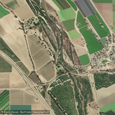
Salinas River
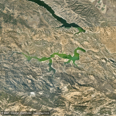
Lake Nacimiento
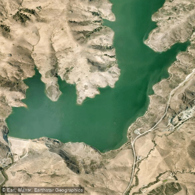
Whale Rock Reservoir
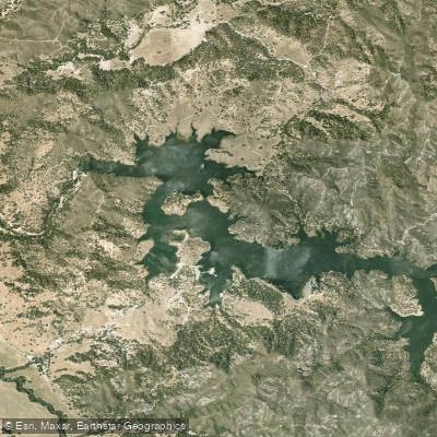
Santa Margarita Lake
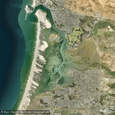
Morro Bay
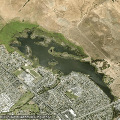
Laguna Lake
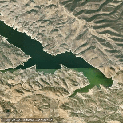
Lake San Antonio
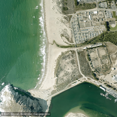
Morro Rock Beach
Lopez Lake
Explore California waters
Top paddling waters
Popular Cities
Loading popular cities...
Explore near Estero Bay
Access points
Nearby waters
More in California

Smarter Paddling Starts in the App.
Paddleways gives you everything you need to plan smarter, paddle better, and own every trip from first launch to takeout.