Morro Bay
- Saltwater
- Bay
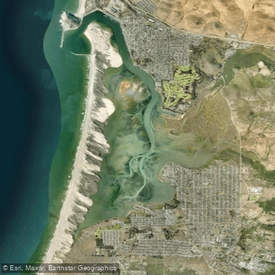
Morro Bay
- Saltwater
- Bay
- Sq. miles
- 3.1
- Boat Ramps
- 1
- Access Points
- 4
- Campsites
- 13
Morro Bay is a protected estuary on the Central California coast, sheltered from the open ocean by a four-mile-long sandspit and watched over by the iconic Morro Rock at its mouth. This creates a predominantly calm, sheltered environment ideal for kayaking, canoeing, and stand-up paddleboarding year-round due to the area's mild climate. The bay's waters are shallow, with extensive mudflats exposed at low tide, which significantly restricts paddling access to many areas; a higher tide is required to explore the full back bay and its marshlands. Tidal currents are present, becoming fairly strong through the narrow north end neck of the bay, so paddlers must plan their route and timing around the tide stages. The harbor mouth, where the bay meets the ocean between Morro Rock and the sandspit, is notoriously hazardous with breaking surf, strong currents, and shifting sandbars, and is considered dangerous even for experienced paddlers; it is strongly advised to stay well inside the protected bay.
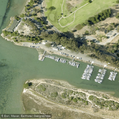
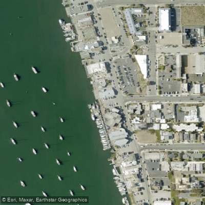
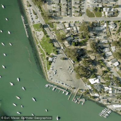
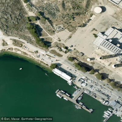
Several public launch points provide access. Tidelands Park, at the south end of Embarcadero, offers a free hand-launch with free parking and is suitable at all tides, placing paddlers in the heart of the bay. The Morro Bay State Park marina on State Park Road provides another launch on the calmer south end, though fees may apply. A small beach launch next to Coleman Park along Coleman Drive is an easy entry point close to the harbor mouth. For a more secluded experience, limited-access launches exist in the Back Bay area off South Bay Boulevard, best used at high tide due to shallow waters. The primary paddling experience involves exploring the estuary's marshlands, observing wildlife such as sea otters, harbor seals, and hundreds of bird species, and crossing to the sandspit for beach access. A common route is the approximately four-mile one-way paddle from the harbor area to the back-bay community of Baywood. Paddlers should be mindful of afternoon northwest winds that typically build around noon, making morning trips generally calmer. Boat traffic is present along the Embarcadero waterfront. There are no specific paddling permits required, but paddlers must maintain a legal distance from marine mammals. Water temperatures are typical for the Central California coast, generally cool to cold, and fog can occur.
Water access, boat ramps & amenities
Learn how to get on Morro Bay. Uncover great paddling access points, boat ramps, and all the facilities you need for an unforgettable day on the water. Some locations shown may border or include private property. Always check property boundaries and applicable regulations before visiting. PaddleWays's Public & Private Land layer can help you plan your access with confidence.
Paddle smarter with real-time insights
Whether you're en route and conditions shift or you're looking for the best spot based on current flows, we enable you to make informed decisions on the fly.








Find Places to Paddle

Over 400,000 Places to Paddle
Every user gets free access to launch points, boat ramps, and public property parcels.


Tides, wind & water conditions (10 day forecast)
On open water, wind and tide matter as much as the weather. See the best times to paddle Morro Bay and check the marine forecast before you launch.
Loading tide predictions…
Paddling near Morro Bay
Santa Ynez River
Laguna Lake

Estero Bay
Salinas River
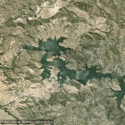
Santa Margarita Lake
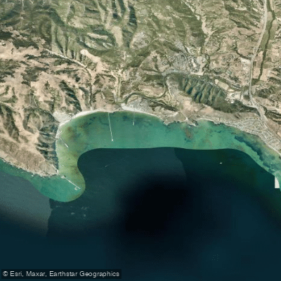
San Luis Obispo Bay
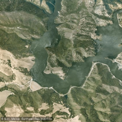
Lopez Lake
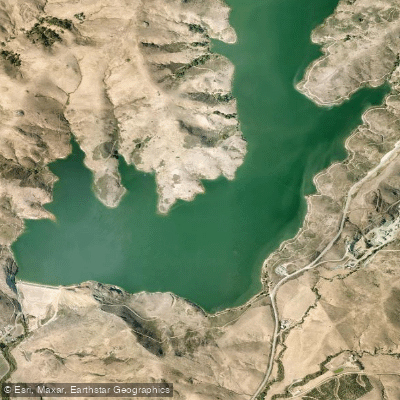
Whale Rock Reservoir
Lake Nacimiento
Explore California waters
Top paddling waters
Popular Cities
Loading popular cities...
Explore near Morro Bay
Access points
Nearby waters
More in California

Smarter Paddling Starts in the App.
Paddleways gives you everything you need to plan smarter, paddle better, and own every trip from first launch to takeout.