Santa Margarita Lake
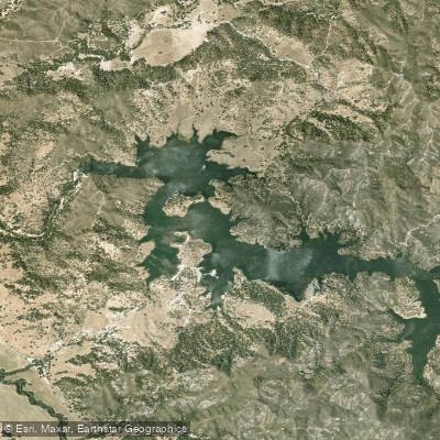
Santa Margarita Lake
- Boat Ramps
- 0
- Access Points
- 1
- Campsites
- 2
Santa Margarita Lake encompasses 22 miles of scenic shoreline in San Luis Obispo County, California. Created in 1941 by the Salinas Dam, the lake serves as a drinking water reservoir for the City of San Luis Obispo. The landscape features dramatic rock formations, grassy banks, and a backdrop of live oak and pine forests.
Kayaks and canoes can be rented from the Marina Store, with both single ($40/2hrs) and double kayaks ($50/2hrs) available. The marina maintains strict operating hours, with all boats required to return by 4:00 PM. Guided kayak tours are offered through Margarita Adventures, providing environmental interpretation suitable for all skill levels.
The lake is particularly scenic at sunrise, when the calm waters create mirror-like reflections. Fall brings especially picturesque conditions as colorful foliage reflects on the water. Wildlife viewing opportunities include eagles, hawks, herons, pelicans, and deer throughout the thousands of acres of protected open space surrounding the lake.
Swimming is strictly prohibited as this is a drinking water reservoir. Starting November 2024, all boats must undergo inspection for Quagga and Zebra mussels, with no transfer of clear tags accepted from other lakes. The maximum speed limit is 30 mph.
Facilities include two boat launches with boarding floats, 55 parking spaces for vehicles with trailers, and a well-stocked marina store offering supplies and basic provisions. The surrounding park provides picnic areas, restrooms, and hiking trails offering views of the lake and mountains.
The lake is renowned for fishing, with populations of redear, trout, catfish, crappie, and bluegill, making it particularly attractive for kayak anglers. Multiple protected coves provide interesting paddling destinations while exploring the shoreline.
Water access, boat ramps & amenities
Learn how to get on Santa Margarita Lake. Uncover great paddling access points, boat ramps, and all the facilities you need for an unforgettable day on the water. Some locations shown may border or include private property. Always check property boundaries and applicable regulations before visiting. PaddleWays's Public & Private Land layer can help you plan your access with confidence.
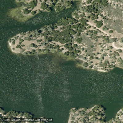
Paddle smarter with real-time insights
Whether you're en route and conditions shift or you're looking for the best spot based on current flows, we enable you to make informed decisions on the fly.








Find Places to Paddle

Over 400,000 Places to Paddle
Every user gets free access to launch points, boat ramps, and public property parcels.


Water and weather conditions (10 day forecast)
See the best times to paddle Santa Margarita Lake and check the forecast before you go.
No forecast data available.
Paddling near Santa Margarita Lake
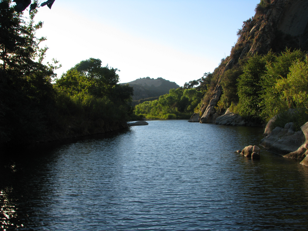
Santa Ynez River
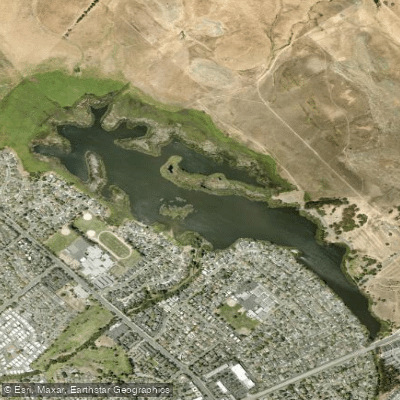
Laguna Lake
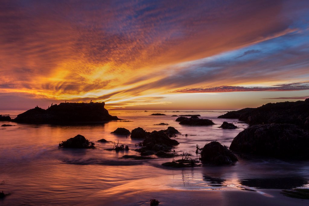
Estero Bay
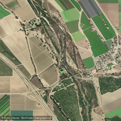
Salinas River
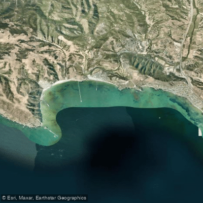
San Luis Obispo Bay
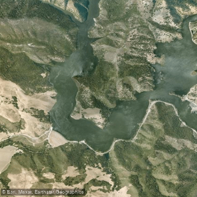
Lopez Lake
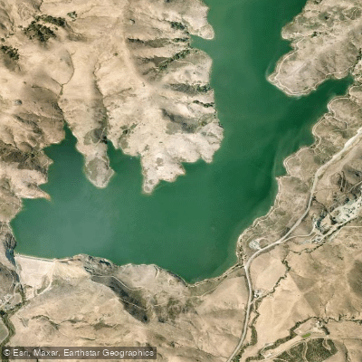
Whale Rock Reservoir
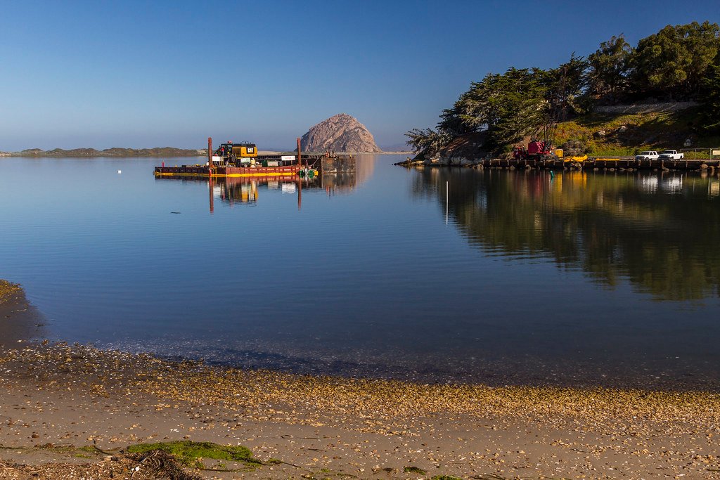
Morro Bay
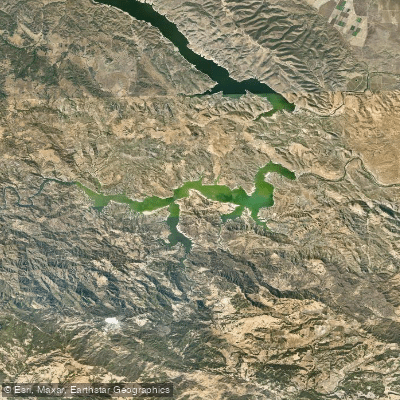
Lake Nacimiento
Explore California waters
Top paddling waters
Popular Cities
Loading popular cities...
Explore near Santa Margarita Lake
Access points
Nearby waters
More in California

Smarter Paddling Starts in the App.
Paddleways gives you everything you need to plan smarter, paddle better, and own every trip from first launch to takeout.