Middle Fork Stanislaus River
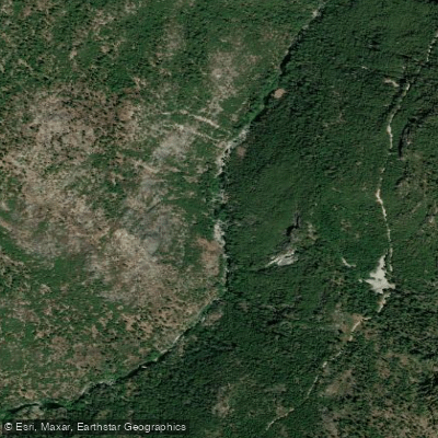
Middle Fork Stanislaus River
- Boat Ramps
- 0
- Access Points
- 5
- Campsites
- 36
The Middle Fork Stanislaus River is a scenic and challenging waterway in the Sierra Nevada mountains of California. Originating in the Emigrant Wilderness, it flows southwest through Stanislaus National Forest before joining the North Fork to form the main stem Stanislaus River. The river's primary watershed drains the western slopes of the Sierra Nevada. This river offers world-class whitewater opportunities for advanced paddlers, with several distinct sections ranging from Class III to V+.
The upper reaches, including the Dardanelles Run from Kennedy Meadows to Donnell Lake, feature technical Class IV-V rapids through a steep, rocky canyon. Below Brightman Flat Campground, the river drops dramatically into nearly continuous Class IV+ rapids for about 6 miles until Donnells Reservoir. The most famous section is the 14-mile Sand Bar Flat to Camp 9 run, renowned for its intense Class IV-V+ whitewater. This stretch demands expert skills and often includes mandatory portages around extremely hazardous rapids.
Peak paddling season typically runs from late spring through early summer, coinciding with snowmelt. Water levels can fluctuate dramatically based on releases from upstream dams, so checking current flow data is crucial. The river corridor supports diverse wildlife, including black bears, mule deer, and a variety of bird species. The surrounding mixed conifer forests feature ponderosa pines, incense cedars, and Douglas firs.
Key access points include Kennedy Meadows, Brightman Flat Campground, Sand Bar Flat Dam, and Camp 9 Powerhouse. The nearest towns are Strawberry and Pinecrest, with larger services available in Sonora. Historically, the river played a role in California's Gold Rush era and later became a battleground between conservationists and dam developers. Today, it's managed for multiple uses, including hydropower, recreation, and as a Wild Trout Stream.
Safety considerations are paramount due to the river's difficulty. Paddlers should be prepared for remote conditions, have solid self-rescue skills, and be aware of potential strainers and undercut rocks. Some sections require scouting from shore and setting safety. While most runs are single-day trips, multi-day adventures are possible by combining different sections and camping at designated sites along the river corridor. The Middle Fork Stanislaus offers a thrilling challenge for skilled whitewater enthusiasts, set against the backdrop of California's stunning Sierra Nevada landscape.
Water access, boat ramps & amenities
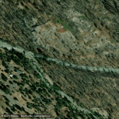
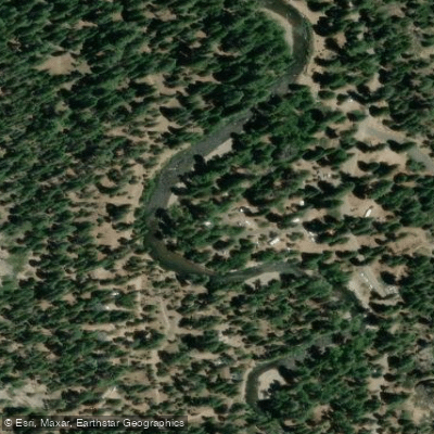
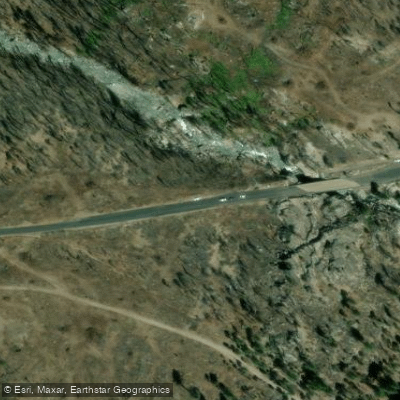
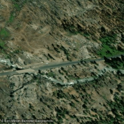
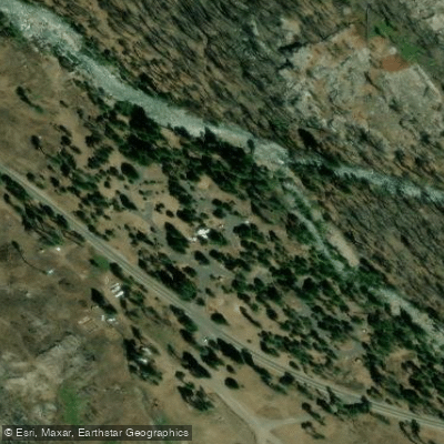
Learn how to get on Middle Fork Stanislaus River. Uncover great paddling access points, boat ramps, and all the facilities you need for an unforgettable day on the water. Some locations shown may border or include private property. Always check property boundaries and applicable regulations before visiting. PaddleWays's Public & Private Land layer can help you plan your access with confidence.
Paddle smarter with real-time insights
Whether you're en route and conditions shift or you're looking for the best spot based on current flows, we enable you to make informed decisions on the fly.








Find Places to Paddle

Over 400,000 Places to Paddle
Every user gets free access to launch points, boat ramps, and public property parcels.


Water and weather conditions (10 day forecast)
See the best times to paddle Middle Fork Stanislaus River and check the forecast before you go.
MF STANISLAUS R AT KENNEDY MEADOWS
All Flow Stations
Paddling near Middle Fork Stanislaus River

Tuolumne River

Merced River

Stanislaus River

Mokelumne River
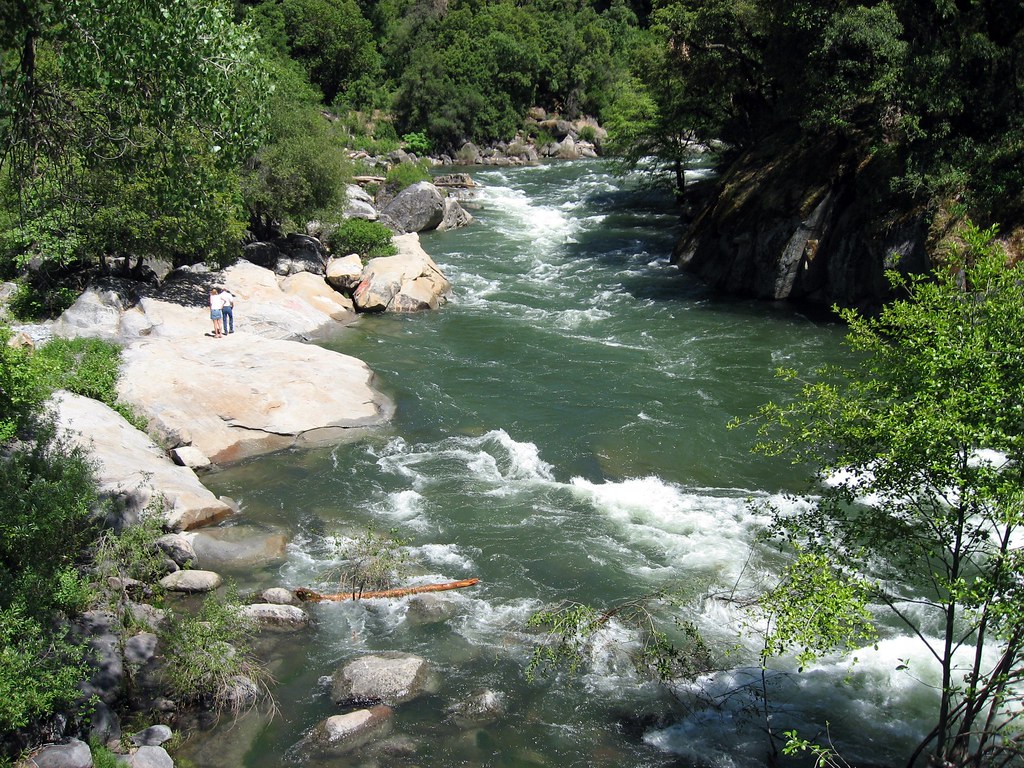
North Fork Mokelumne River
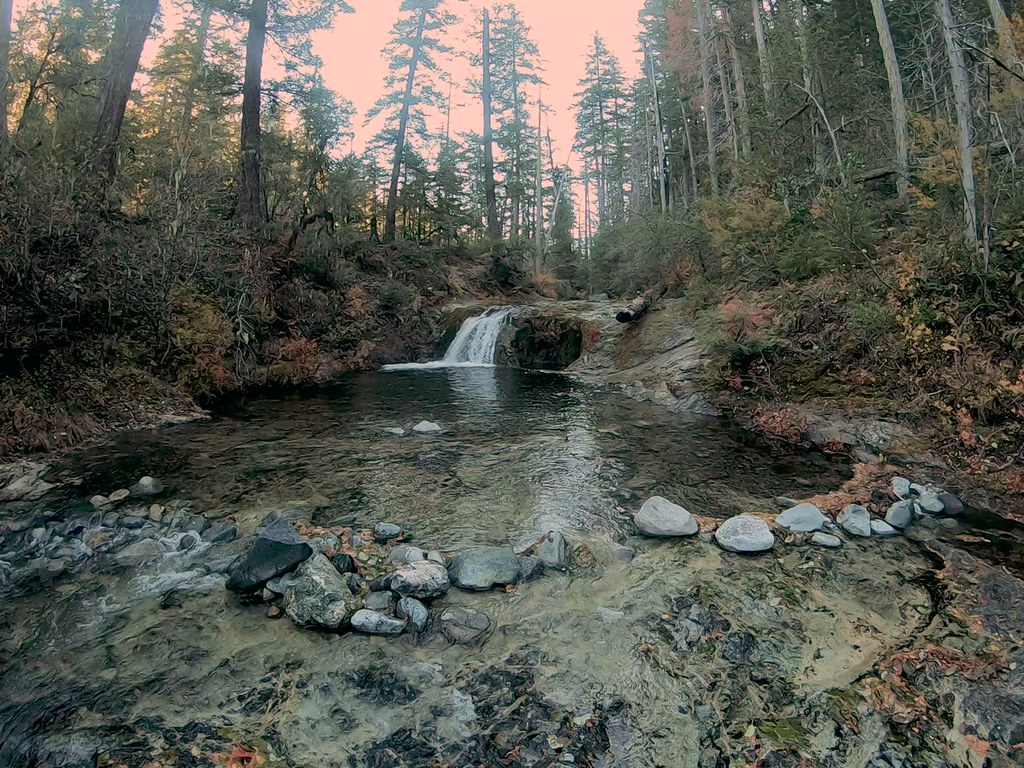
Silver Creek
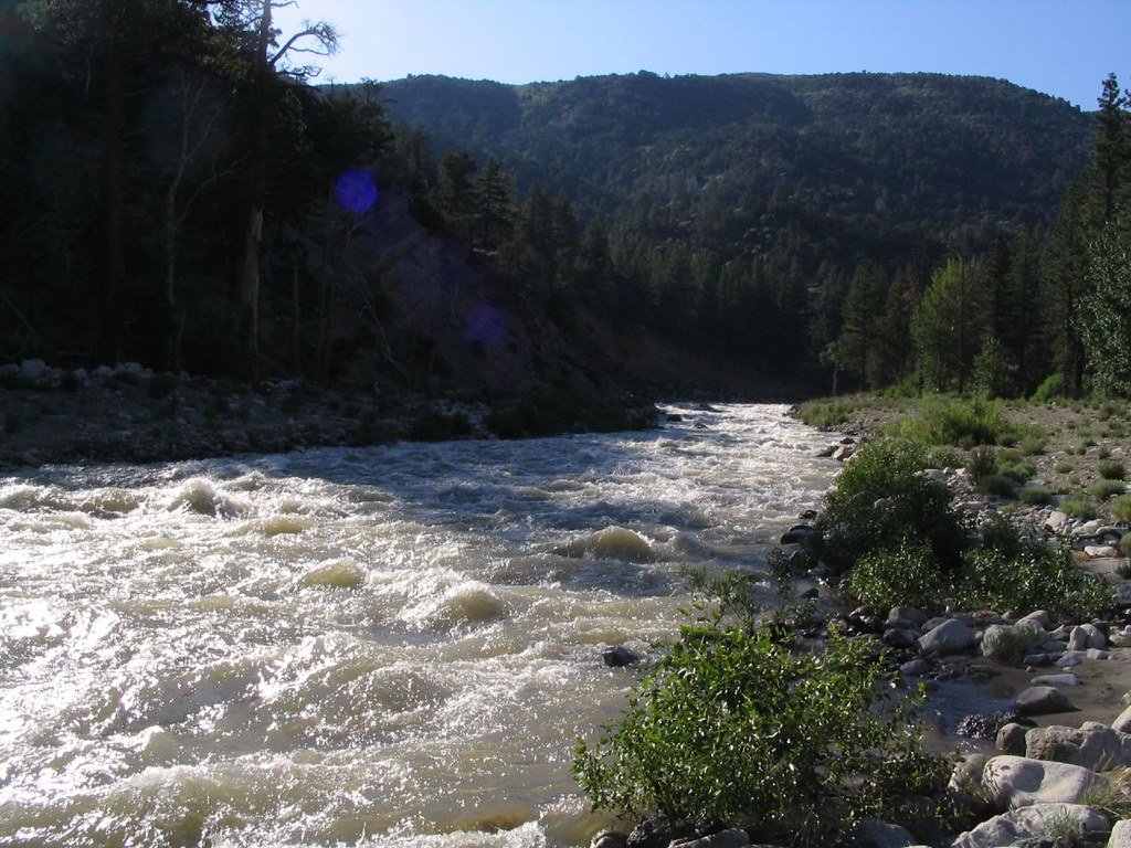
West Walker River
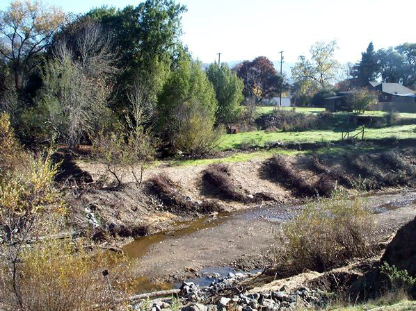
Robinson Creek
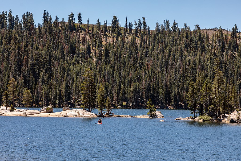
Lake Alpine
Explore California waters
Top paddling waters
Popular Cities
Loading popular cities...
Explore near Middle Fork Stanislaus River
Access points
- Stanislaus River Middle Fork Access
- Deadman Campground Access
- State Hwy 108 Access
- State Hwy 108 Access
- Dardanelle Campground Access
- Mid Fork Stanislaus Riv Bridge
- Clark Fork Road Bridge
- Deadmans Creek Bridge
- Clarks Fk Stanislaus Riv Bridge
- Eagle Creek Bridge
- Mill Creek Bridge
- Sf Stanislaus River Bridge
- All 58 spots
Nearby waters
More in California

Smarter Paddling Starts in the App.
Paddleways gives you everything you need to plan smarter, paddle better, and own every trip from first launch to takeout.