North Fork Mokelumne River
North Fork Mokelumne River
- Boat Ramps
- 2
- Access Points
- 5
- Campsites
- 41
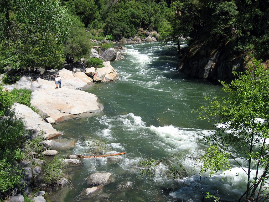
The North Fork Mokelumne River is a pristine waterway originating in the high Sierra Nevada mountains of California. It flows westward through Alpine, Amador, and Calaveras counties, eventually joining the main stem of the Mokelumne River. This river system is renowned for its challenging whitewater, stunning scenery, and ecological importance. The river offers a diverse range of paddling opportunities, from the epic multi-day wilderness adventure of Fantasy Falls in the headwaters to the more accessible day runs downstream. The difficulty ranges from Class III+ to V+, with most sections requiring advanced to expert-level skills. Notable runs include the Fantasy Falls section (Class V-V+), the Devil's Nose section (Class III+ to V), and the Tiger Creek Dam section (Class IV).
Optimal paddling season typically runs from late spring through early summer, depending on snowmelt and dam releases. Flows can vary significantly, with some sections like Tiger Creek Dam runnable between 600-2500 cfs, while others may require specific flow ranges for safe navigation. The river corridor supports a rich ecosystem, with diverse flora including spring wildflowers along some sections. Wildlife sightings may include various bird species and potentially larger mammals typical of the Sierra Nevada region.
Key landmarks include Fantasy Falls, a highlight of the upper section, and Mokelumne Falls, a formidable Class V rapid once considered unrunnable. The river passes through the Mokelumne Wilderness, offering paddlers a true backcountry experience in some sections. Access points vary by section, with put-ins and take-outs including locations near Highway 4, Mokelumne River Campground, Tiger Creek Dam, and Highway 26. The nearest towns for services are Jackson and Pioneer.
Historically, the river has been important for indigenous peoples, gold miners, and more recently, for hydroelectric power generation. Several dams along the river, including Tiger Creek Dam, influence its flow and provide recreational opportunities. Safety considerations are paramount, especially on the more challenging sections. Extensive scouting is often necessary, and some rapids, like Mokelumne Falls, require careful assessment. Paddlers should be prepared for remote conditions, especially on multi-day trips like Fantasy Falls.
For those seeking an extended adventure, the Fantasy Falls section offers a classic 3-day trip through the Mokelumne Wilderness, dropping over 3,000 feet and showcasing the river's most dramatic scenery and challenging whitewater. The North Fork Mokelumne River stands as one of California's premier whitewater destinations, offering a perfect blend of challenge, beauty, and wilderness for skilled paddlers.
Water access, boat ramps & amenities
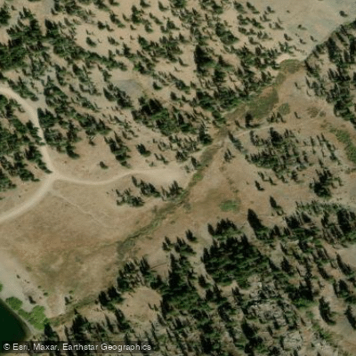
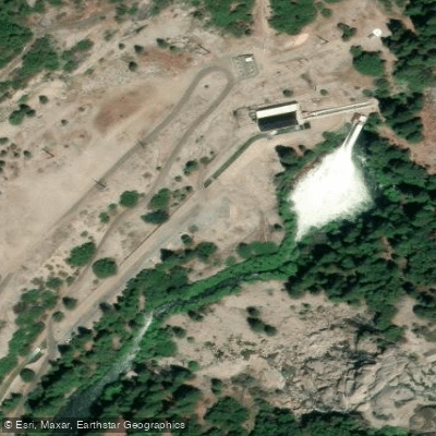
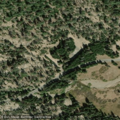
Learn how to get on North Fork Mokelumne River. Uncover great paddling access points, boat ramps, and all the facilities you need for an unforgettable day on the water. Some locations shown may border or include private property. Always check property boundaries and applicable regulations before visiting. PaddleWays's Public & Private Land layer can help you plan your access with confidence.
Paddle smarter with real-time insights
Whether you're en route and conditions shift or you're looking for the best spot based on current flows, we enable you to make informed decisions on the fly.








Find Places to Paddle

Over 400,000 Places to Paddle
Every user gets free access to launch points, boat ramps, and public property parcels.


Water and weather conditions (10 day forecast)
See the best times to paddle North Fork Mokelumne River and check the forecast before you go.
NF MOKELUMNE R BL SALT SPRINGS DAM
All Flow Stations
Paddling near North Fork Mokelumne River
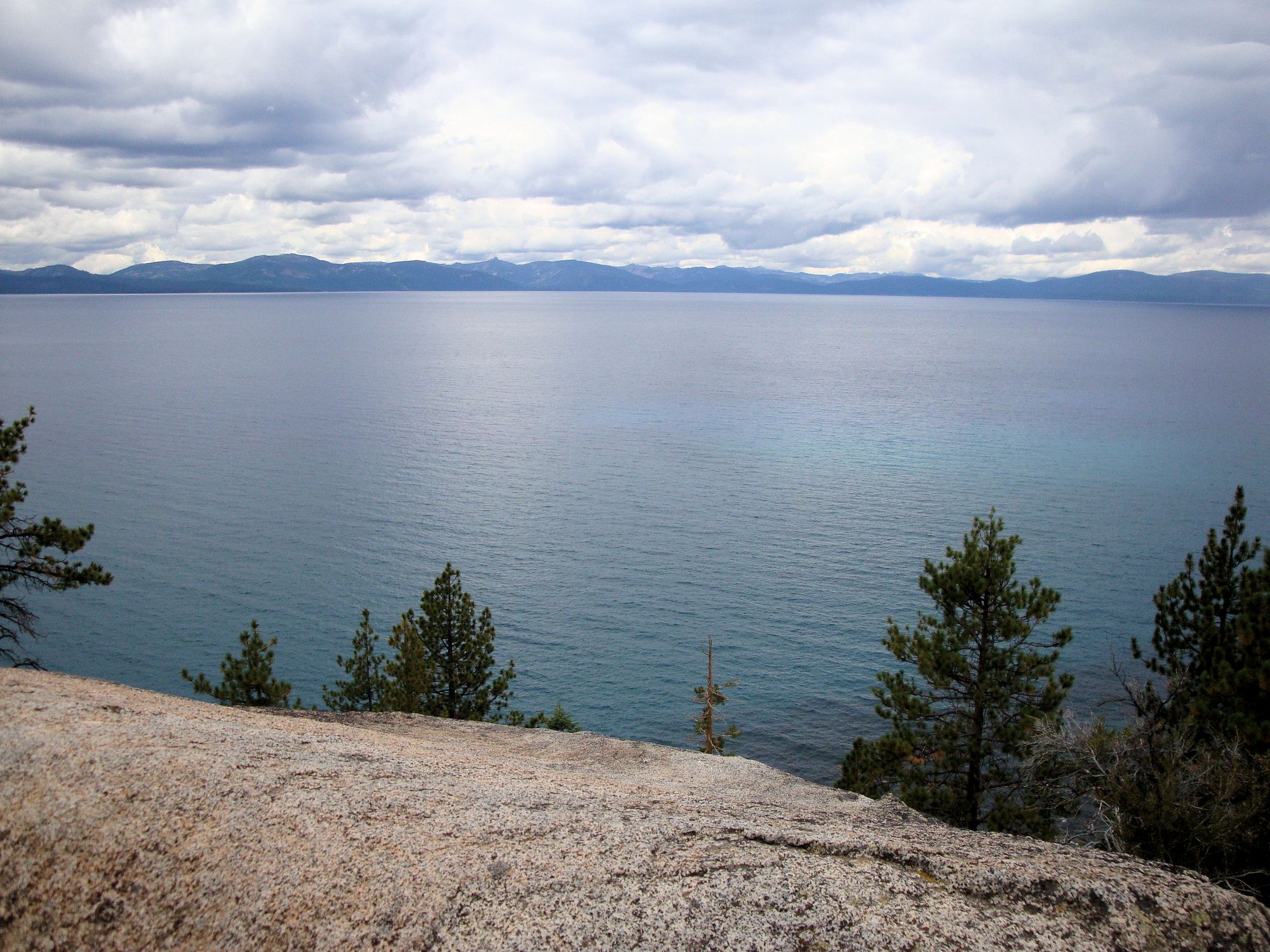
Lake Tahoe
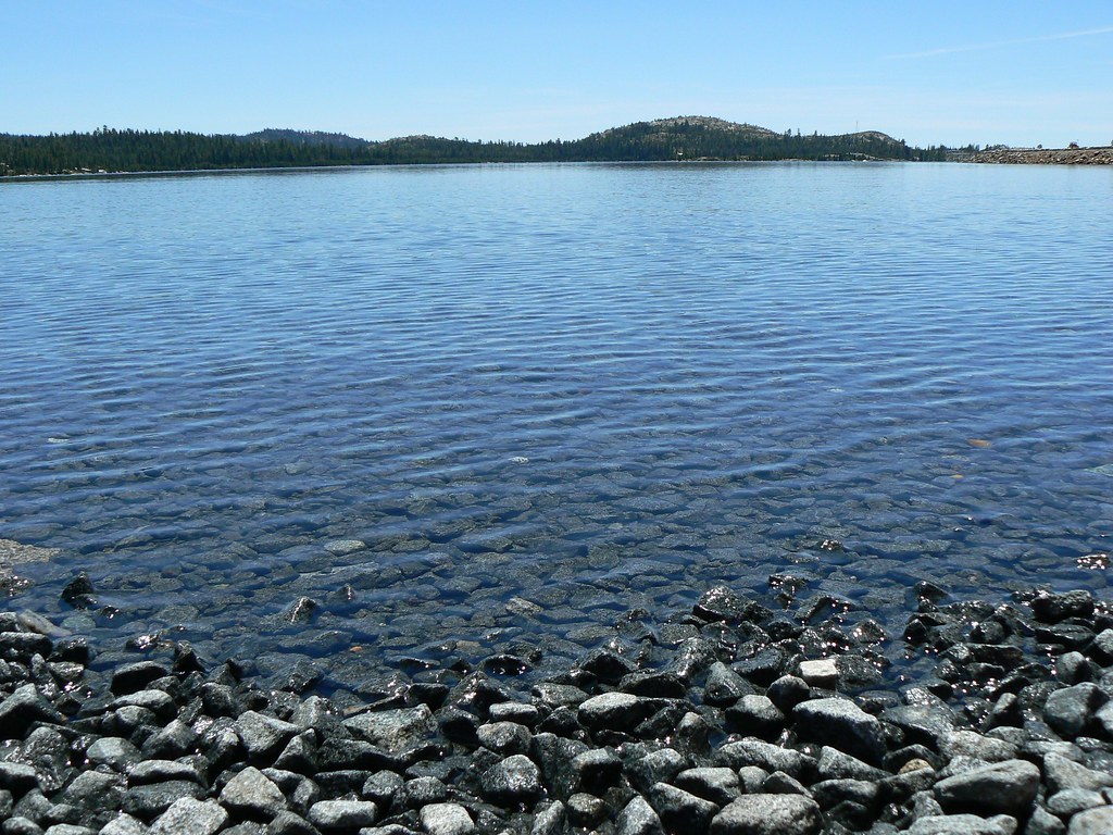
Loon Lake
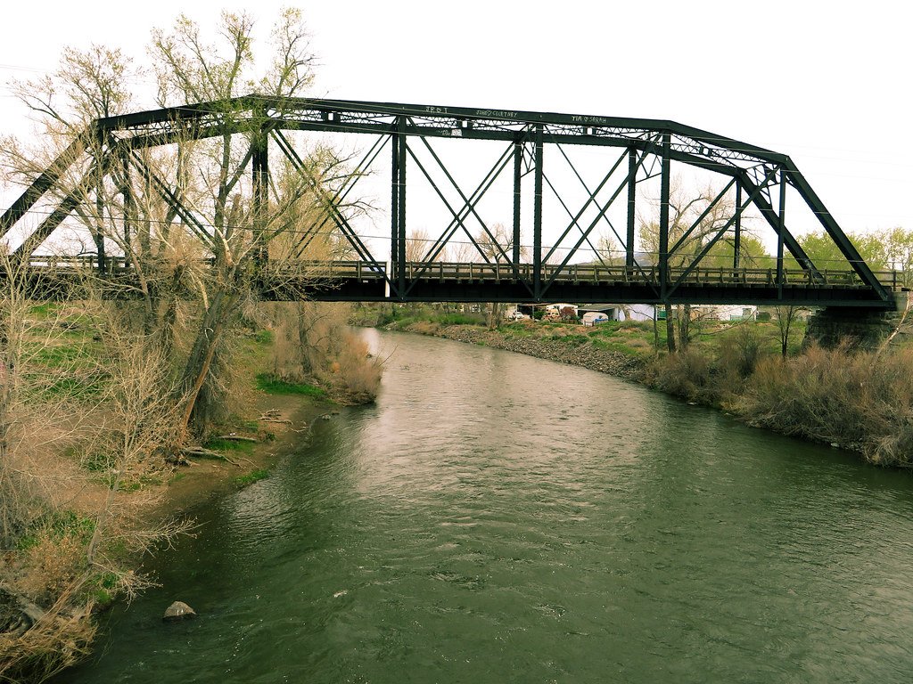
Truckee River

North Fork American River
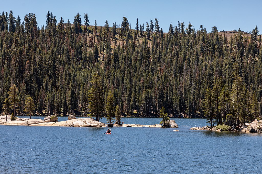
Lake Alpine
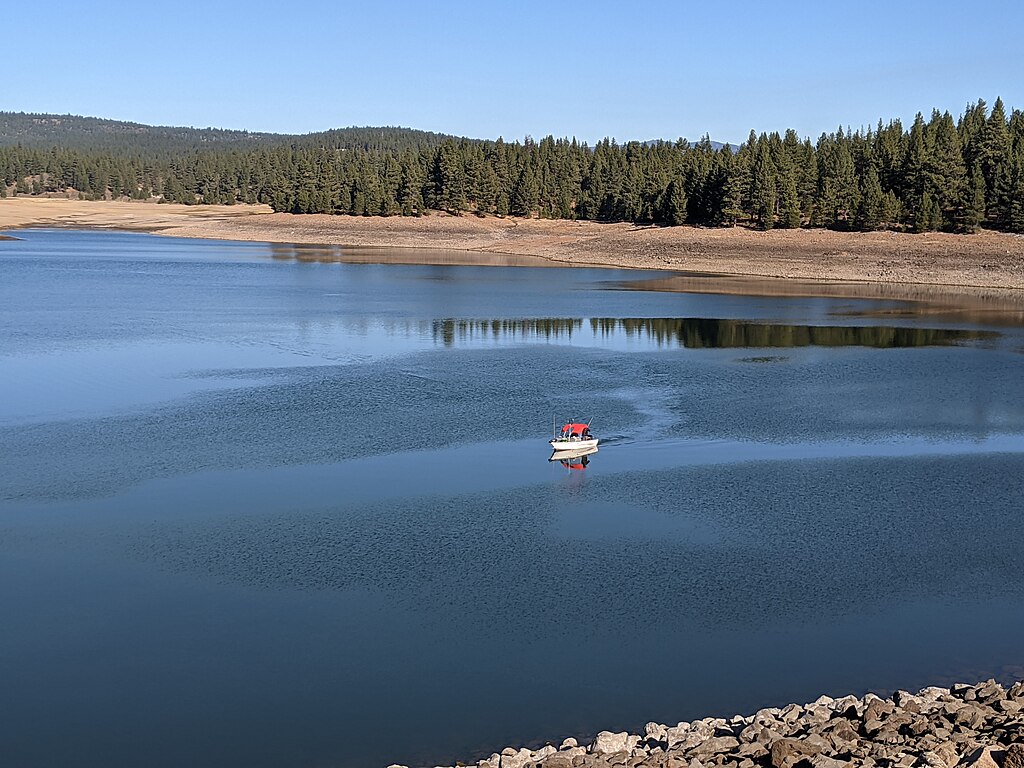
Prosser Creek Reservoir
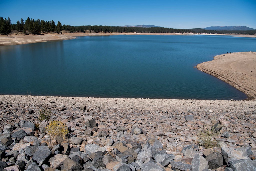
Boca Reservoir
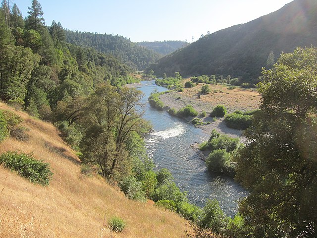
Middle Fork American River
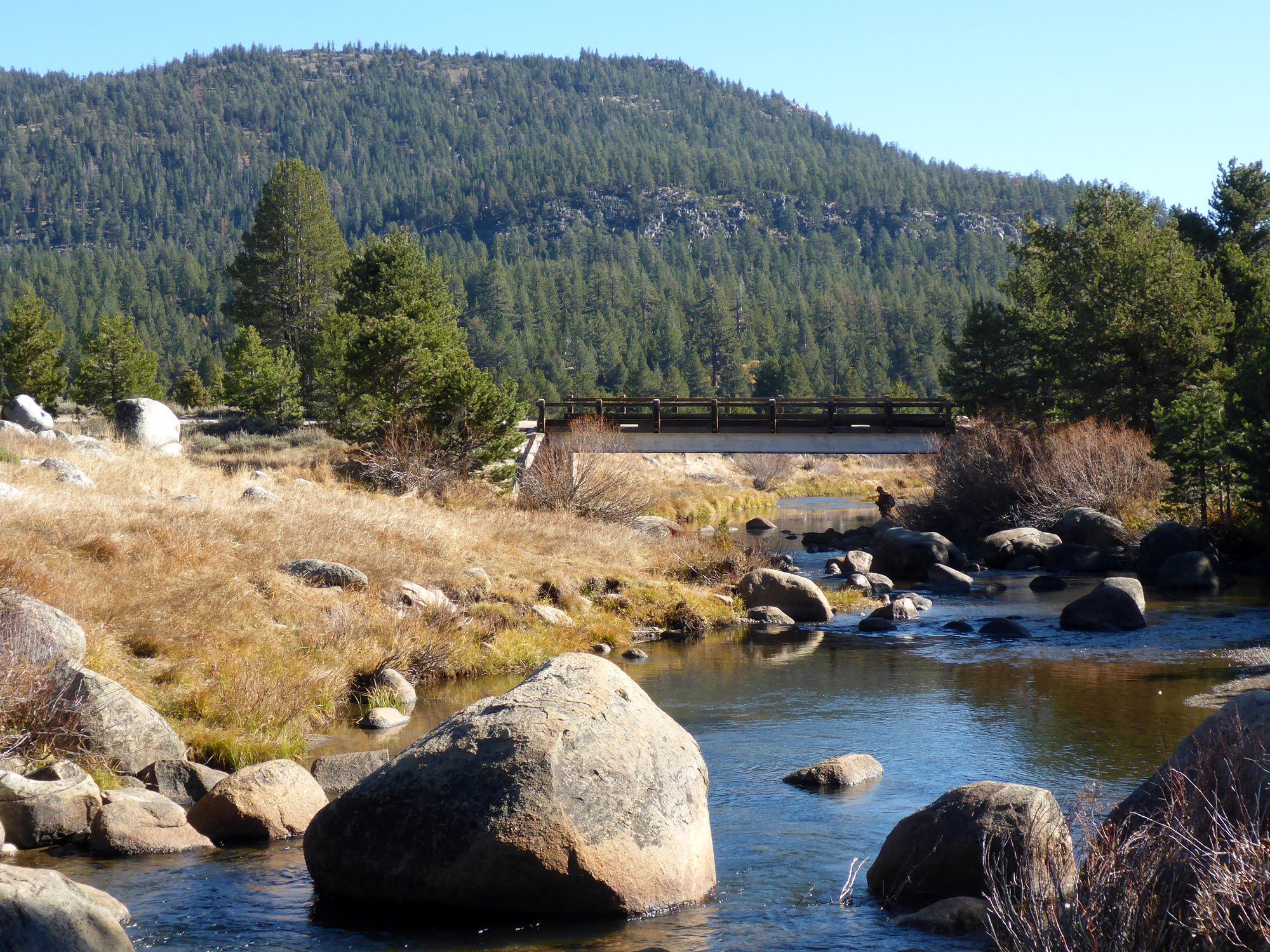
West Fork Carson River
Explore California waters
Top paddling waters
Popular Cities
Loading popular cities...
Explore near North Fork Mokelumne River
Access points
- Highland Lakes Boat Ramp
- Highland Lakes Boat Ramp
- Gardner Meadow Access
- Salt Springs Powerhouse Access
- Deer Creek Trail Access
- North Fork Mokelumne Riv Bridge
- Mokelumne River Bridge
- North Fork Mokelumne River Bridge
- Pacific Creek Bridge
- Blue Creek Bridge
- Cole Creek Bridge
- South Fork Mokelumne River Bridge
- All 55 spots
Nearby waters
More in California

Smarter Paddling Starts in the App.
Paddleways gives you everything you need to plan smarter, paddle better, and own every trip from first launch to takeout.