Chalk Creek
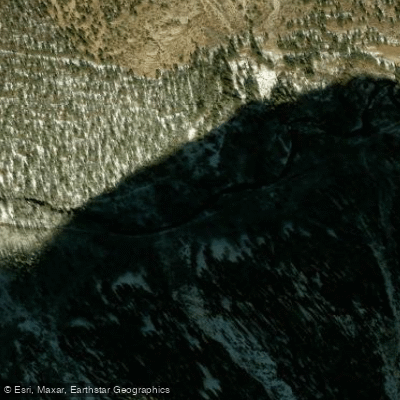
Chalk Creek
- Boat Ramps
- 0
- Access Points
- 7
- Campsites
- 10
Chalk Creek originates at the Continental Divide in the Collegiate Peaks region of central Colorado, flowing eastward for approximately 27 miles through Chalk Creek Canyon before joining the Arkansas River near Nathrop in Chaffee County. The creek descends from elevations above 11,000 feet to approximately 7,600 feet at its confluence, creating a steep mountain stream character throughout most of its length.
The creek derives its name from distinctive white kaolinite cliffs that stand at the entrance to Chalk Creek Valley, formed by ancient hot spring deposits. These brilliant white formations remain visible for miles and provide a stark geological contrast to the surrounding forested mountains. The drainage flows through a transition zone where igneous and metamorphic rocks give way to sedimentary formations, contributing to the creek's unique mineral characteristics.
Chalk Creek supports populations of brook, brown, rainbow, and cutthroat trout, making it a popular fly fishing destination. The riparian corridor features dense stands of aspen, cottonwood, and various conifer species, while the surrounding high country harbors typical Colorado mountain wildlife including elk, deer, and black bears.
The canyon holds significant mining history from Colorado's 1870s-1880s gold and silver boom. Historic townsites including St. Elmo, Hancock, Alpine, Romley, and Hortense once thrived along the creek during the Chalk Creek mining district's peak production years. St. Elmo, listed on the National Register of Historic Places, remains one of Colorado's best-preserved ghost towns and serves as a major visitor attraction. The Denver, South Park and Pacific Railroad historically followed the canyon, with remnants of the narrow-gauge route still visible, including the sealed Alpine Tunnel that once transported ore across the Continental Divide to Gunnison.
Access to Chalk Creek follows County Road 162 west from Nathrop, approximately 8 miles south of Buena Vista on Highway 285. The canyon contains four developed Forest Service campgrounds: Mount Princeton, Chalk Lake, Cascade, and Iron City. Camping and campfires are restricted to these designated sites within the canyon proper, though dispersed camping is permitted above St. Elmo and near the Hancock townsite.
Several hot springs emerge in the valley, with Mount Princeton Hot Springs Resort offering commercial soaking facilities near the canyon entrance. The Colorado Trail crosses the Chalk Creek drainage, providing backcountry access to the Collegiate Peaks Wilderness. Multiple trailheads along the canyon road serve hikers, mountain bikers, horseback riders, and off-highway vehicle users exploring the historic mining district and alpine basins. Winter access varies depending on snowpack, with the upper canyon typically closing seasonally.
Water access, boat ramps & amenities
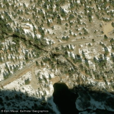
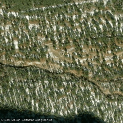
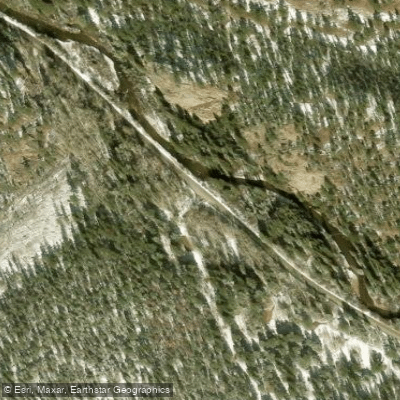
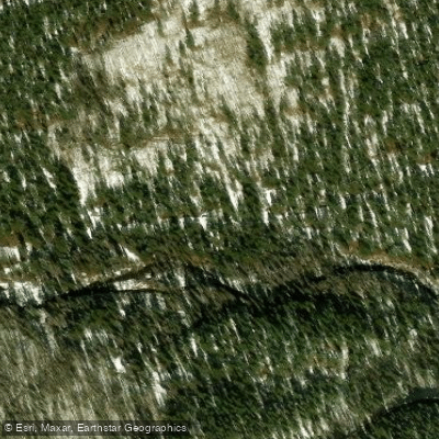
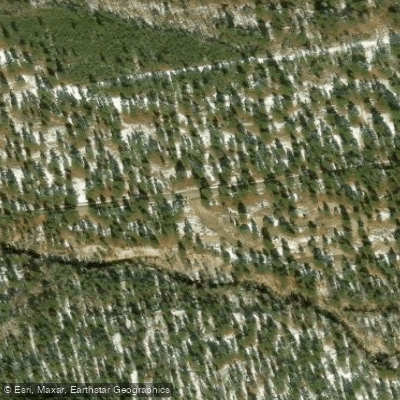
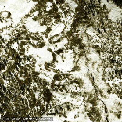
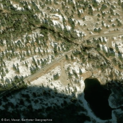
Learn how to get on Chalk Creek. Uncover great paddling access points, boat ramps, and all the facilities you need for an unforgettable day on the water. Some locations shown may border or include private property. Always check property boundaries and applicable regulations before visiting. PaddleWays's Public & Private Land layer can help you plan your access with confidence.
Paddle smarter with real-time insights
Whether you're en route and conditions shift or you're looking for the best spot based on current flows, we enable you to make informed decisions on the fly.








Find Places to Paddle

Over 400,000 Places to Paddle
Every user gets free access to launch points, boat ramps, and public property parcels.


Water and weather conditions (10 day forecast)
See the best times to paddle Chalk Creek and check the forecast before you go.
CHALK CREEK AT NATHROP
All Flow Stations
Paddling near Chalk Creek
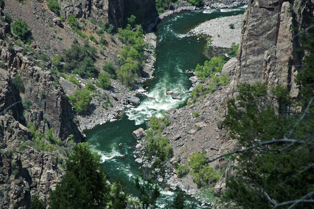
Gunnison River
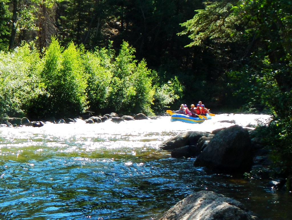
Taylor River
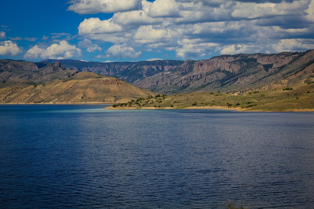
Blue Mesa Reservoir
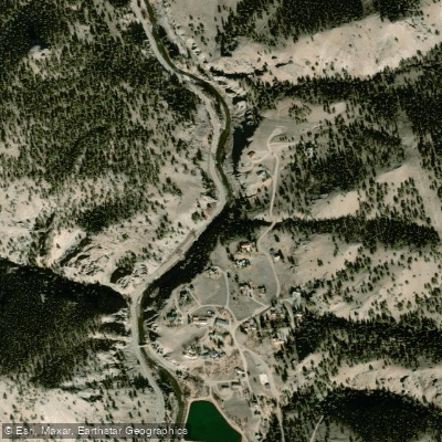
Lake Fork
Spring Creek

Arkansas River
Roaring Fork River

Rio Grande
Crystal River
Explore Colorado waters
Top paddling waters
Popular Cities
Loading popular cities...
Explore near Chalk Creek
Access points
Nearby waters
More in Colorado

Smarter Paddling Starts in the App.
Paddleways gives you everything you need to plan smarter, paddle better, and own every trip from first launch to takeout.