Roaring Fork River
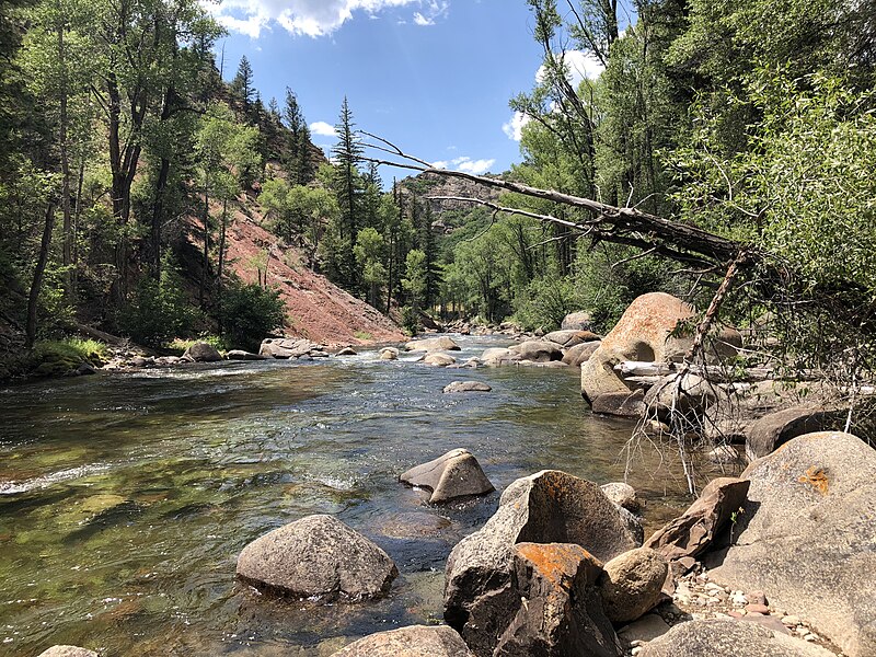
Roaring Fork River
- Boat Ramps
- 12
- Access Points
- 21
- Campsites
- 18
The Roaring Fork River is a 70-mile long tributary of the Colorado River, originating high in the Sawatch Range near Independence Pass southeast of Aspen, Colorado. It flows northwest through the Roaring Fork Valley, passing through Aspen, Basalt, and Carbondale before joining the Colorado River in Glenwood Springs. The river offers a diverse range of paddling opportunities, from calm floats to challenging whitewater. The upper sections near Aspen, like the famous Slaughterhouse run, feature Class IV-V rapids suitable for expert kayakers and rafters. The middle sections around Basalt and Carbondale provide Class II-III whitewater, ideal for intermediate paddlers. The lower stretches offer more relaxed Class I-II waters perfect for scenic floats and fishing trips.
Paddling difficulty ranges from beginner-friendly floats to expert-level rapids, requiring varied skill levels depending on the section. The prime paddling season typically runs from late May through July, when snowmelt swells the river. However, some sections remain runnable into early fall.
The Roaring Fork Valley is known for its diverse ecosystems, supporting wildlife like elk, mule deer, and a variety of bird species. Anglers prize the river for its gold medal trout fishing waters. Notable landmarks include the Maroon Bells peaks visible from upper sections, and the hot springs in Glenwood Springs near the river's end.
Key access points include Slaughterhouse Bridge and Jaffee Park near Aspen, Fisherman's Park in Basalt, and Carbondale's put-in beneath Highway 82. The Basalt Whitewater Park, featuring engineered waves, is a popular spot for playboaters.
Historically, the river played a crucial role in the region's mining and ranching heritage. Today, it's an integral part of the area's outdoor recreation economy.
Safety considerations include swift currents, cold water, and potential strainers, especially during high water. Some sections have specific regulations, such as the prohibition of dogs on the North Star Nature Preserve float. While most trips are day runs, multi-day options exist by combining different sections or incorporating camping along the Colorado River after the confluence.
The Roaring Fork offers a quintessential Colorado river experience, from its alpine headwaters to its desert confluence.
Water access, boat ramps & amenities
Learn how to get on Roaring Fork River. Uncover great paddling access points, boat ramps, and all the facilities you need for an unforgettable day on the water. Some locations shown may border or include private property. Always check property boundaries and applicable regulations before visiting. PaddleWays's Public & Private Land layer can help you plan your access with confidence.
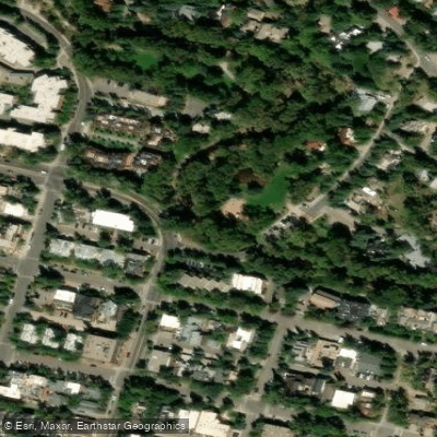
Herron Park Access
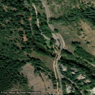
Henry Stein Park Access
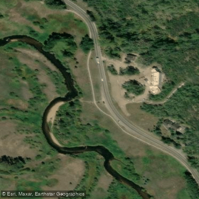
North Star Beach Gate Trailhead
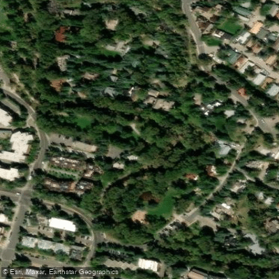
Newberry Park Access
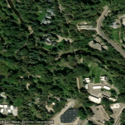
Jenny Adair Sawmill Park Access
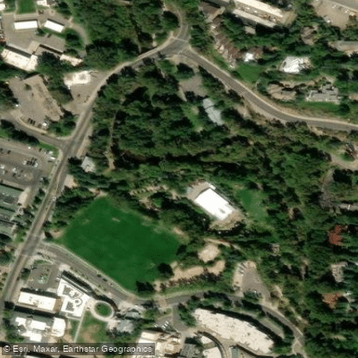
Rio Grande Park Access
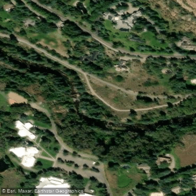
Rio Grande Trail Access
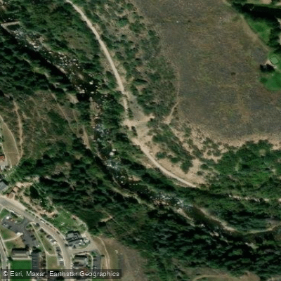
Rio Grande Trail Access
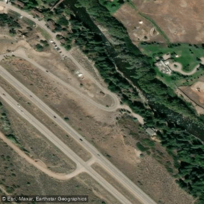
Pitkin Iron Access
Paddle smarter with real-time insights
Whether you're en route and conditions shift or you're looking for the best spot based on current flows, we enable you to make informed decisions on the fly.








Find Places to Paddle

Over 400,000 Places to Paddle
Every user gets free access to launch points, boat ramps, and public property parcels.


Water and weather conditions (10 day forecast)
See the best times to paddle Roaring Fork River and check the forecast before you go.
COLORADO R ABV ROARING FORK R AT GLENWOOD SPGS, CO
All Flow Stations
Paddling near Roaring Fork River
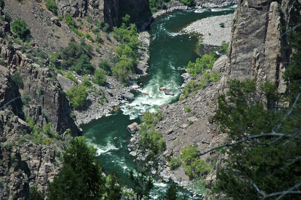
Gunnison River
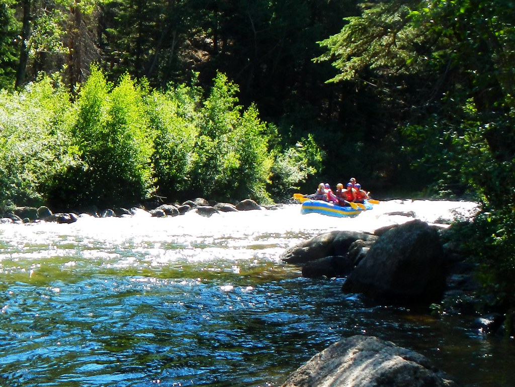
Taylor River
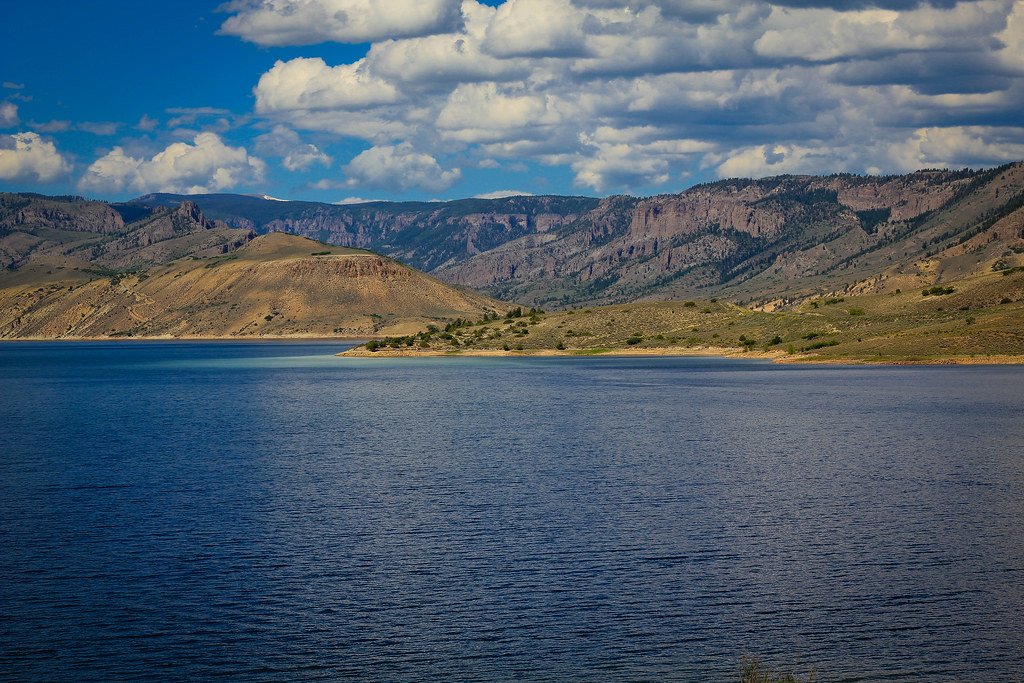
Blue Mesa Reservoir
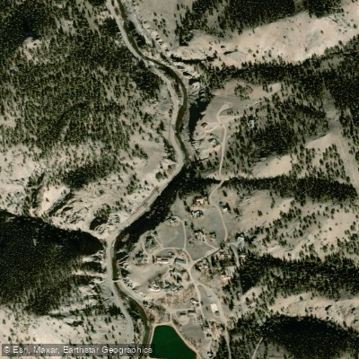
Lake Fork
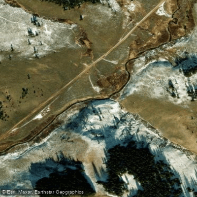
Spring Creek

Arkansas River

Rio Grande
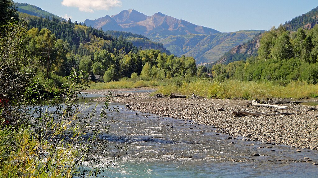
Crystal River
Chalk Creek
Explore Colorado waters
Top paddling waters
Popular Cities
Loading popular cities...
Explore near Roaring Fork River
Access points
Nearby waters
More in Colorado

Smarter Paddling Starts in the App.
Paddleways gives you everything you need to plan smarter, paddle better, and own every trip from first launch to takeout.