Spring Creek
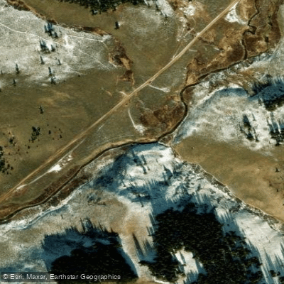
Spring Creek
- Boat Ramps
- 0
- Access Points
- 3
- Campsites
- 18
Spring Creek flows through the Gunnison National Forest in Gunnison County, Colorado, serving as a tributary to the Taylor River. This small freestone stream originates near Reno Divide and travels through the scenic Taylor Park area before joining the Taylor River near Almont. The creek's headwaters begin in high alpine terrain, descending through meadows and forested sections as it makes its way toward the valley floor.
The creek offers fly fishing opportunities throughout its length, with the most accessible sections located along Spring Creek Road (County Road 744), approximately seven miles from the intersection with County Road 742. Spring Creek Reservoir, situated along the creek's course about 12 miles up Spring Creek Road from Almont, provides additional recreational opportunities including non-motorized boating and fishing. The reservoir is restricted to hand-powered watercraft only, creating a peaceful environment for kayakers and canoeists.
For paddlers, Spring Creek presents limited opportunities due to its small size and seasonal flow patterns. The creek is best suited for experienced kayakers during peak runoff in May, June, and early July when water levels are sufficient. Even at optimal flows, the narrow channel and shallow conditions make this a technical run requiring precise boat control. Stand-up paddleboarding on the creek itself is possible during brief windows of higher water, though the reservoir offers more consistent flatwater paddling conditions.
The surrounding landscape supports diverse wildlife including elk, deer, and various bird species. Anglers target rainbow, brown, and cutthroat trout, along with Kokanee salmon in the reservoir. The creek flows through a mix of sagebrush valleys and pine-covered mountains, with Italian Mountain (a thirteener) visible from the area.
Access to Spring Creek requires traveling north from Gunnison on Highway 135 to County Road 742, then turning onto County Road 744 (Spring Creek Road). The nearest services are in Almont, approximately 10 miles from Gunnison. Limited parking exists along Spring Creek Road, with no formal boat launches except at the reservoir.
The area experiences typical high-mountain weather patterns, with snow covering the region from December through mid-March. Summer temperatures are moderate, though afternoon thunderstorms are common. The creek's small size means it warms quickly during hot weather, affecting both fish activity and paddling conditions. Visitors should be prepared for rapidly changing conditions and limited cell phone coverage in this remote section of Gunnison County.
Water access, boat ramps & amenities
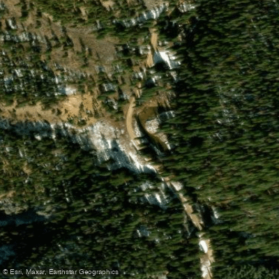
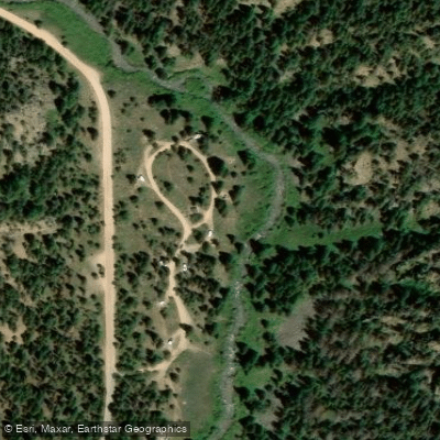
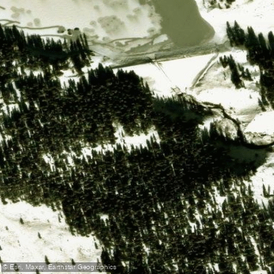
Learn how to get on Spring Creek. Uncover great paddling access points, boat ramps, and all the facilities you need for an unforgettable day on the water. Some locations shown may border or include private property. Always check property boundaries and applicable regulations before visiting. PaddleWays's Public & Private Land layer can help you plan your access with confidence.
Paddle smarter with real-time insights
Whether you're en route and conditions shift or you're looking for the best spot based on current flows, we enable you to make informed decisions on the fly.








Find Places to Paddle

Over 400,000 Places to Paddle
Every user gets free access to launch points, boat ramps, and public property parcels.


Water and weather conditions (10 day forecast)
See the best times to paddle Spring Creek and check the forecast before you go.
SPRING CREEK RESERVOIR
Paddling near Spring Creek
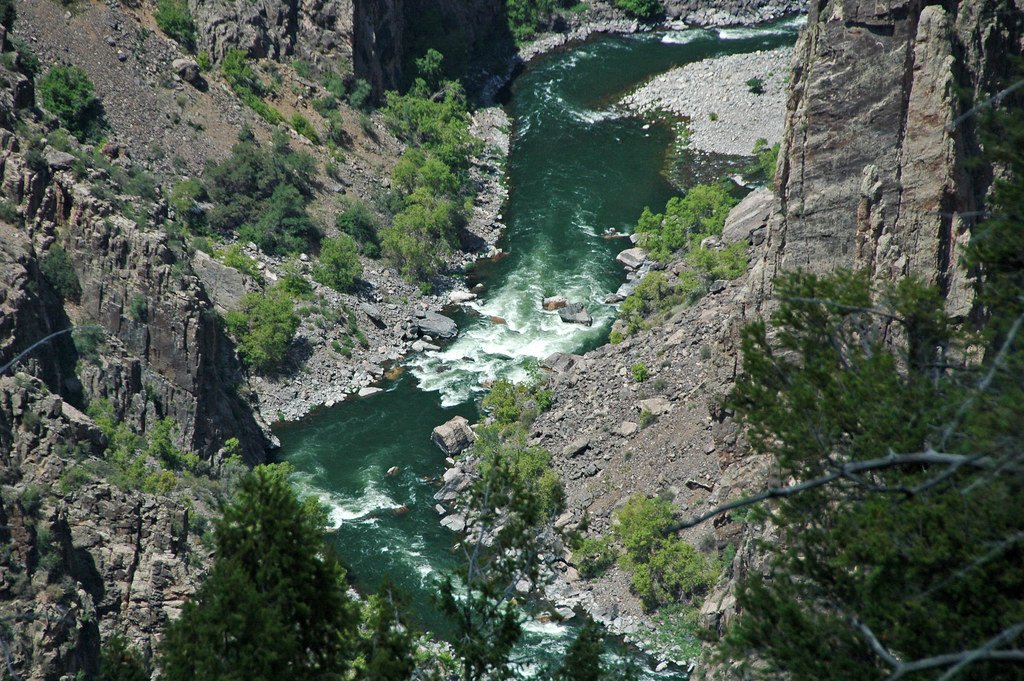
Gunnison River
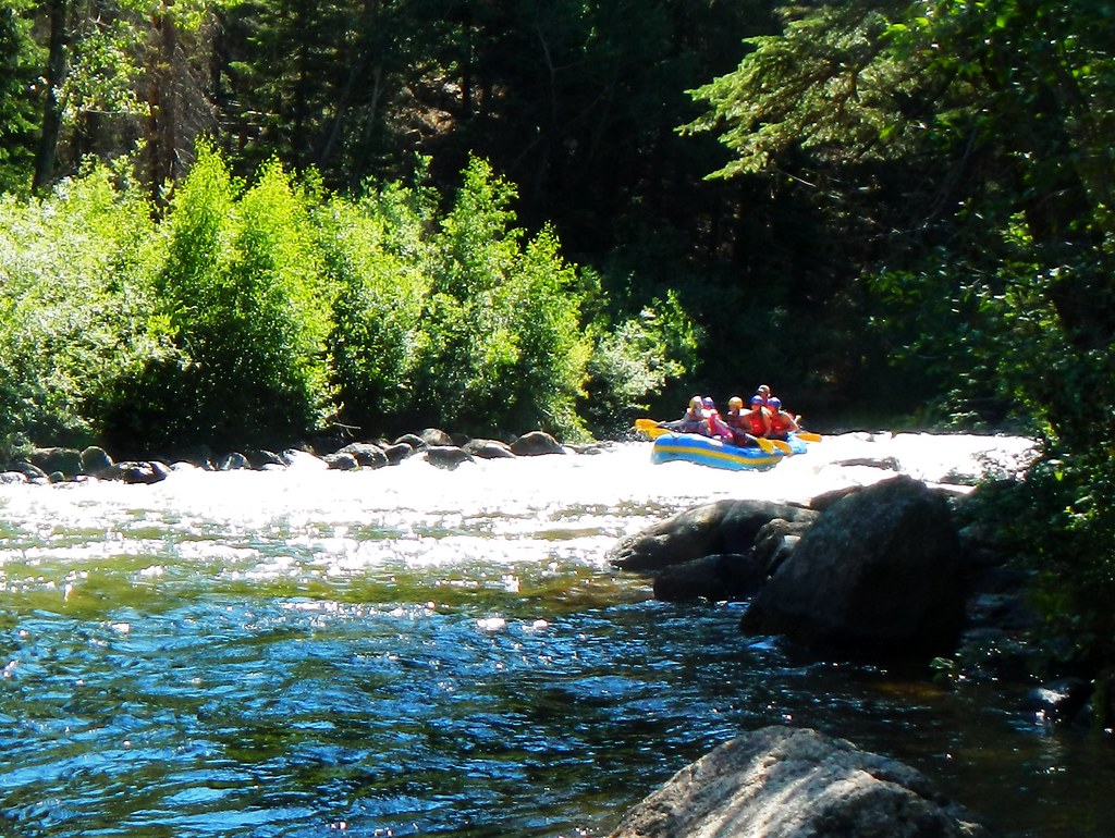
Taylor River
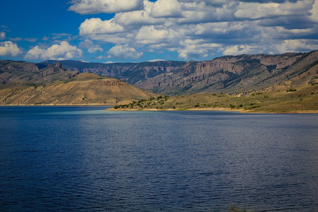
Blue Mesa Reservoir
Lake Fork

Arkansas River
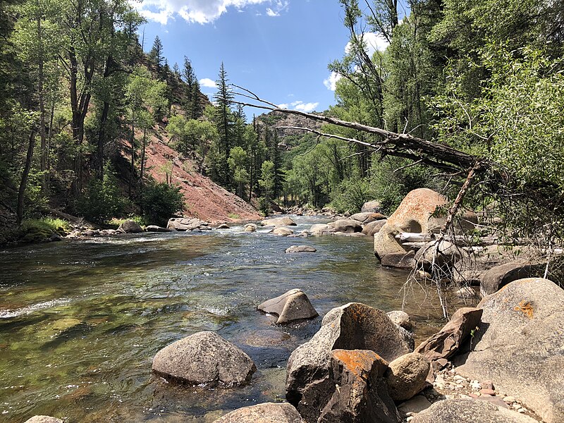
Roaring Fork River

Rio Grande
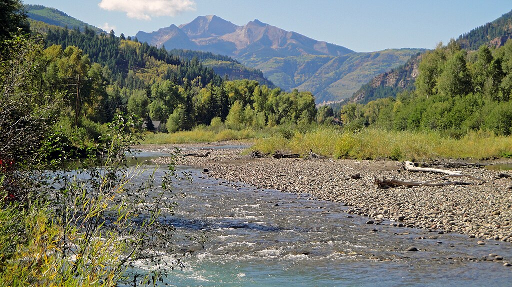
Crystal River
Chalk Creek
Explore Colorado waters
Top paddling waters
Popular Cities
Loading popular cities...
Explore near Spring Creek
Access points
Nearby waters
More in Colorado

Smarter Paddling Starts in the App.
Paddleways gives you everything you need to plan smarter, paddle better, and own every trip from first launch to takeout.